Difference between revisions of "SitePhotos"
ZarkleToor (talk | contribs) m |
ZarkleToor (talk | contribs) m |
||
| (8 intermediate revisions by the same user not shown) | |||
| Line 1: | Line 1: | ||
| − | + | Photos of Doe Bay mostly taken by Zarkle from visits in February 2024, February and July 2022, 2018, and 2016. In the summer the greenery provides great cover, but winter pics show more detail. | |
| − | Photos of Doe Bay mostly taken by Zarkle from visits in February 2024, February and July 2022, and | ||
__NOTOC__ | __NOTOC__ | ||
<!-- COMMENT --> | <!-- COMMENT --> | ||
<!-- | <!-- | ||
| − | |||
| − | |||
| − | |||
| − | |||
<gallery caption="" mode=packed heights=250px style="border: dashed thin"> | <gallery caption="" mode=packed heights=250px style="border: dashed thin"> | ||
</gallery> | </gallery> | ||
| Line 14: | Line 9: | ||
Image:.jpg|alt="" | Image:.jpg|alt="" | ||
Image:.jpg|alt=""| | Image:.jpg|alt=""| | ||
| − | |||
--> | --> | ||
| Line 32: | Line 26: | ||
Image: Kayakbeach2.jpg|alt="kayak beach"|Sweet Spot yurt in the distance | Image: Kayakbeach2.jpg|alt="kayak beach"|Sweet Spot yurt in the distance | ||
Image: Boathouse1.jpg|alt="Boathouse view" | Image: Boathouse1.jpg|alt="Boathouse view" | ||
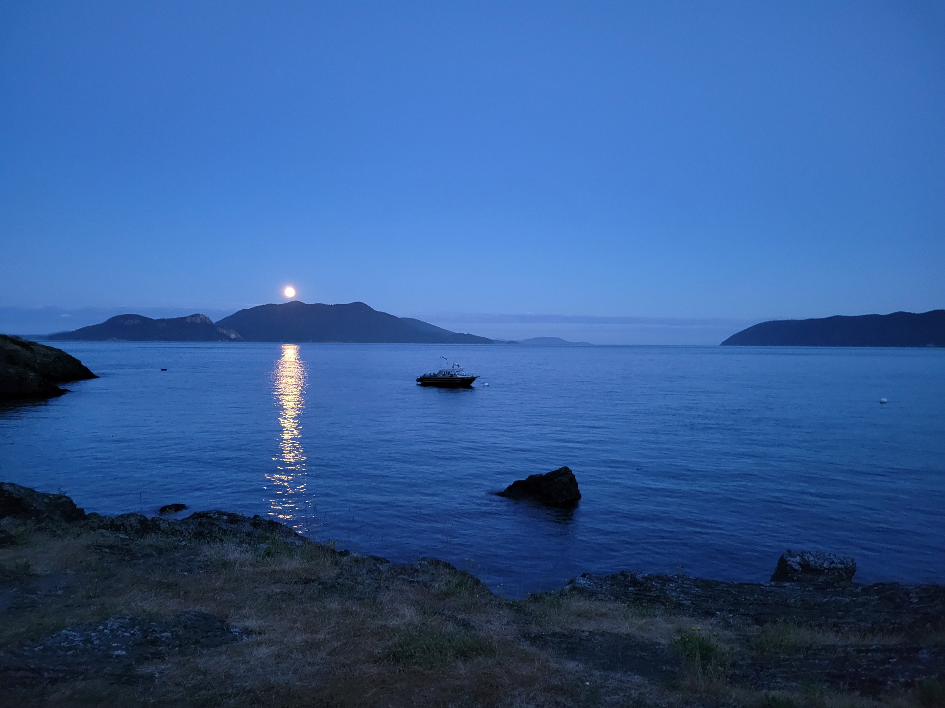
| + | Image: Fullmoon.jpg|alt="full moon"|full moon | ||
</gallery> | </gallery> | ||
| Line 54: | Line 49: | ||
<gallery caption="Lower Bath" mode=packed heights=250px style="border: dashed thin"> | <gallery caption="Lower Bath" mode=packed heights=250px style="border: dashed thin"> | ||
Image:Lowerbath1.jpg|alt="lower bath toilets"|Lower bath toilets | Image:Lowerbath1.jpg|alt="lower bath toilets"|Lower bath toilets | ||
| − | Image:Lowerbath2.jpg|alt="lower bath wash"|Lower bath wash | + | Image:Lowerbath2.jpg|alt="lower bath wash"|Lower bath dish wash station |
Image:Lowerbath3.jpg|alt="lower bath showers"|Lower bath showers (separate mens and womens) | Image:Lowerbath3.jpg|alt="lower bath showers"|Lower bath showers (separate mens and womens) | ||
Image:Lowerbathtrail.jpg|alt="lower bath trail"|Trail from Ganesh Way to lower restrooms | Image:Lowerbathtrail.jpg|alt="lower bath trail"|Trail from Ganesh Way to lower restrooms | ||
| Line 66: | Line 61: | ||
| − | <gallery caption=" | + | <gallery caption="Camper Comfort Station" mode=packed heights=250px style="border: dashed thin"> |
| + | Image:comfortstation1.jpg|alt="camper comfort station"|camper comfort station for Nature District campsites w/ potable water | ||
| + | Image:comfortstation2.jpg|alt="food storage station"|food storage station | ||
| + | Image:comfortstation3.jpg|alt="dishwashing station"|dishwashing station | ||
| + | </gallery> | ||
| + | |||
| + | |||
| + | <gallery caption="Misc" mode=packed heights=200px style="border: dashed thin"> | ||
Image:Evcharger.jpg|alt="EV charger"|free EV charger adjacent to the garden | Image:Evcharger.jpg|alt="EV charger"|free EV charger adjacent to the garden | ||
| + | Image:Yoga-water.jpg|alt="water spigot"|water spigot behind yoga studio w/ potable water (and tesla coil tunes) | ||
</gallery> | </gallery> | ||
| − | |||
=== Prime District === | === Prime District === | ||
| Line 76: | Line 78: | ||
Image:Upper3.jpg|alt="prime dome field"|where prime dome will be | Image:Upper3.jpg|alt="prime dome field"|where prime dome will be | ||
Image:Upper2.jpg|sunset view | Image:Upper2.jpg|sunset view | ||
| − | Image:Treehouse.jpg|alt="treehouse view"|view from the treehouse | + | Image:Whiskey-deer.jpg|alt="Whiskey and a deer"|where the deer like to feed |
| + | Image:Treehouse.jpg|alt="treehouse view"|view from the treehouse | ||
| + | Image:Treehouse2.jpg|alt="treehouse view"|view from Ada's Cafe | ||
| + | Image:Homesteadroad.jpg|Homestead Rd, picnic sites, upper parking lot, garages | ||
</gallery> | </gallery> | ||
<gallery caption="orchard field" mode=packed heights=200px style="border: dashed thin"> | <gallery caption="orchard field" mode=packed heights=200px style="border: dashed thin"> | ||
| − | Image:Holt-orchard-stage.jpg|villages and open camping area, maker stage | + | Image:Holt-orchard-stage.jpg|Holt's Corner, villages and open camping area, maker stage |
Image:Orchard-gardenspot.jpg|alt="orchard and Garden Spot"|orchard and Garden Spot | Image:Orchard-gardenspot.jpg|alt="orchard and Garden Spot"|orchard and Garden Spot | ||
Image:Orchard1.jpg|alt="orchard"|2023 new orchard | Image:Orchard1.jpg|alt="orchard"|2023 new orchard | ||
| Line 98: | Line 103: | ||
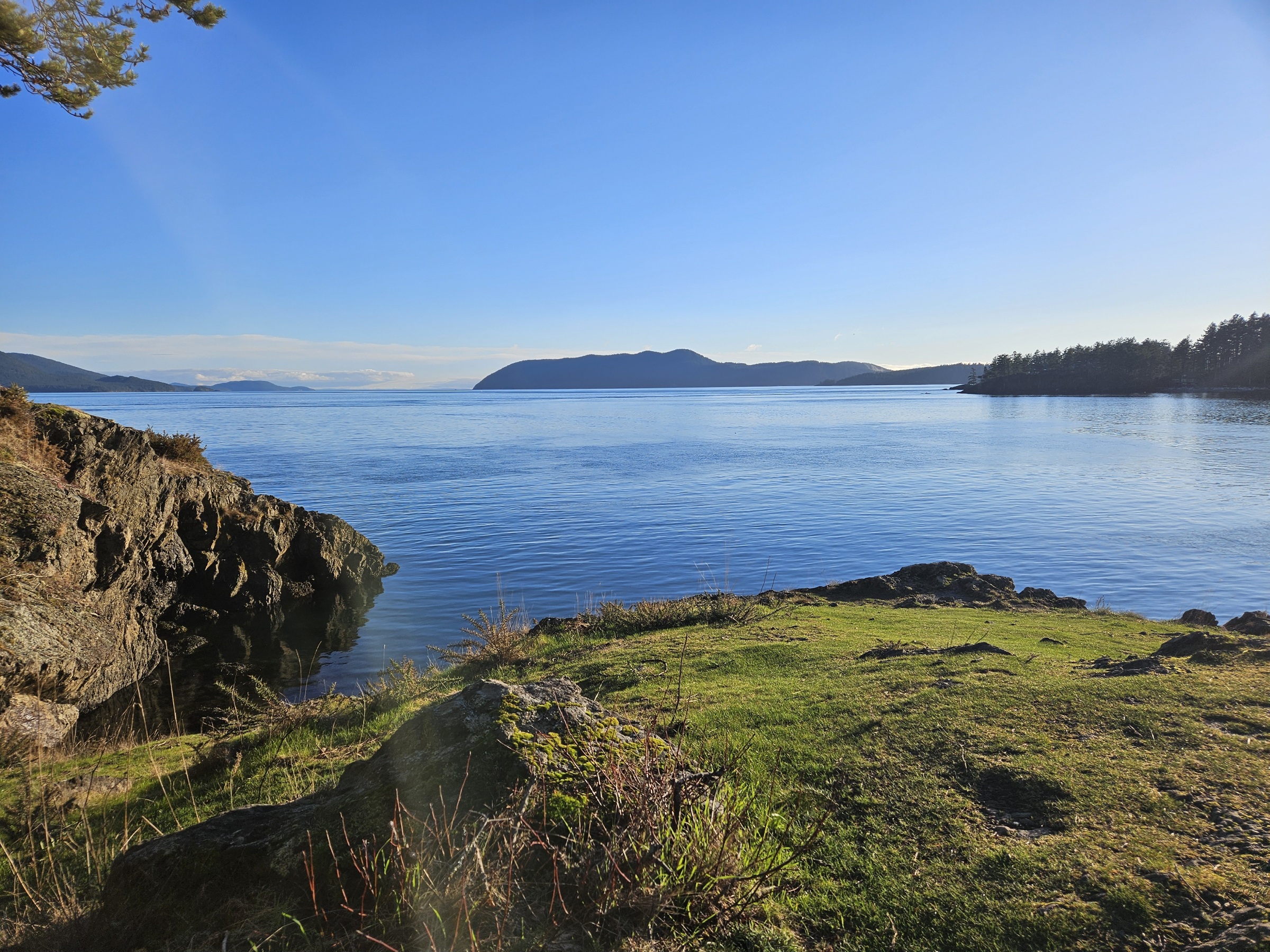
=== Nature District: The Point, Otter Cove, Beach === | === Nature District: The Point, Otter Cove, Beach === | ||
<gallery caption="Point trail" mode=packed heights=250px style="border: dashed thin"> | <gallery caption="Point trail" mode=packed heights=250px style="border: dashed thin"> | ||
| + | Image:Trailmap.jpg|alt="trail map"|which way to go? | ||
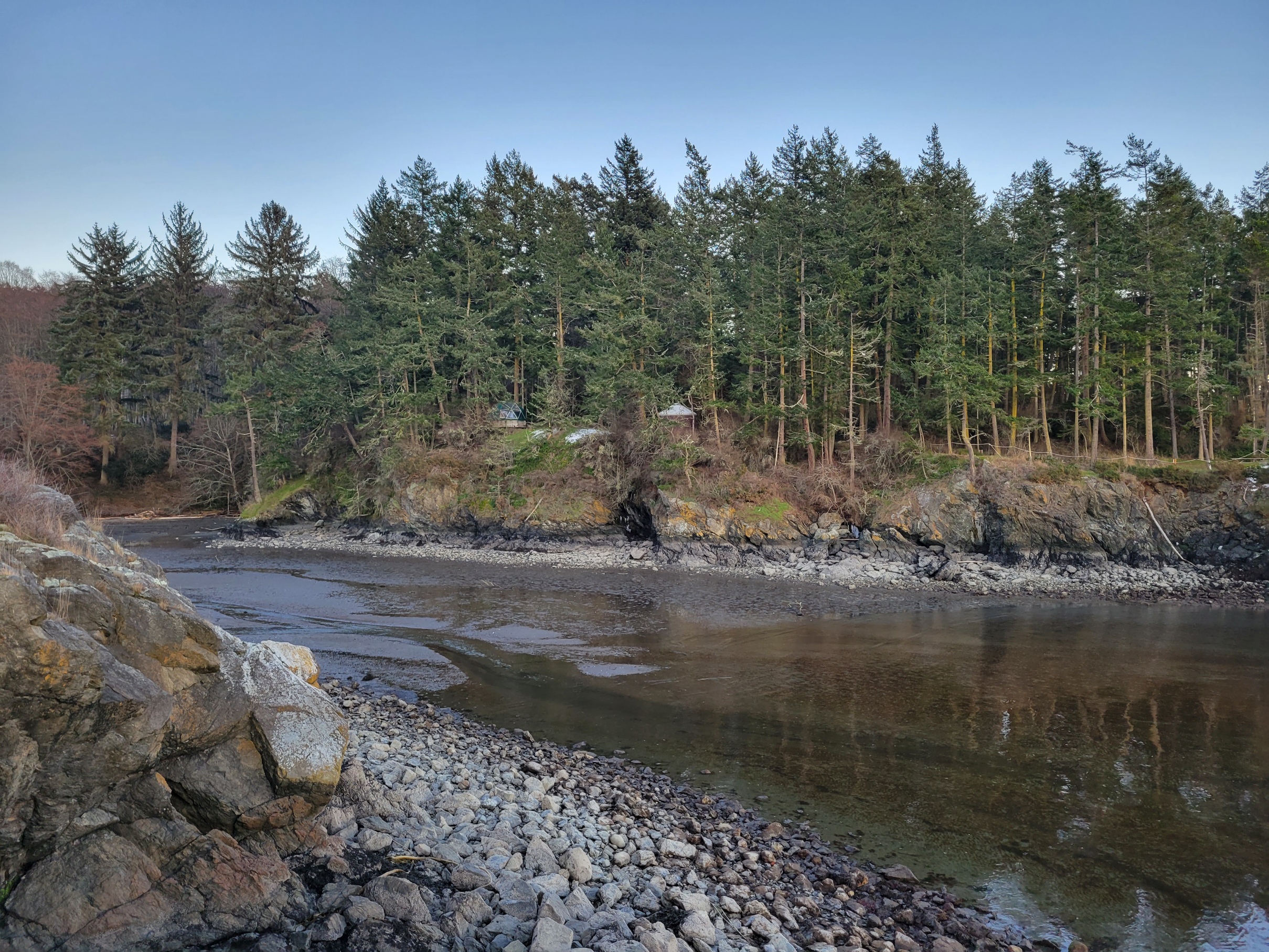
Image:Thepointtrail1.jpg|alt="point trail"|view of Otter Cove from trail | Image:Thepointtrail1.jpg|alt="point trail"|view of Otter Cove from trail | ||
Image:Thepointtrail3.jpg|alt="point trail"|view across Otter Cove to the waterfall from trail | Image:Thepointtrail3.jpg|alt="point trail"|view across Otter Cove to the waterfall from trail | ||
| Line 146: | Line 152: | ||
Image:Beachyurt.jpg|alt="Beach yurt"|Beach yurt | Image:Beachyurt.jpg|alt="Beach yurt"|Beach yurt | ||
Image:Ottercoveyurts.jpg|alt="beach and yurts"|view of Otter Cove beach and Sea, Neptune, & Beach Yurts from Otter Lodge balcony | Image:Ottercoveyurts.jpg|alt="beach and yurts"|view of Otter Cove beach and Sea, Neptune, & Beach Yurts from Otter Lodge balcony | ||
| + | Image:Coveyurts.jpg|alt="beach at low tide"|Otter Cove beach at low tide with Sea, Neptune, & Beach Yurts | ||
</gallery> | </gallery> | ||
| Line 155: | Line 162: | ||
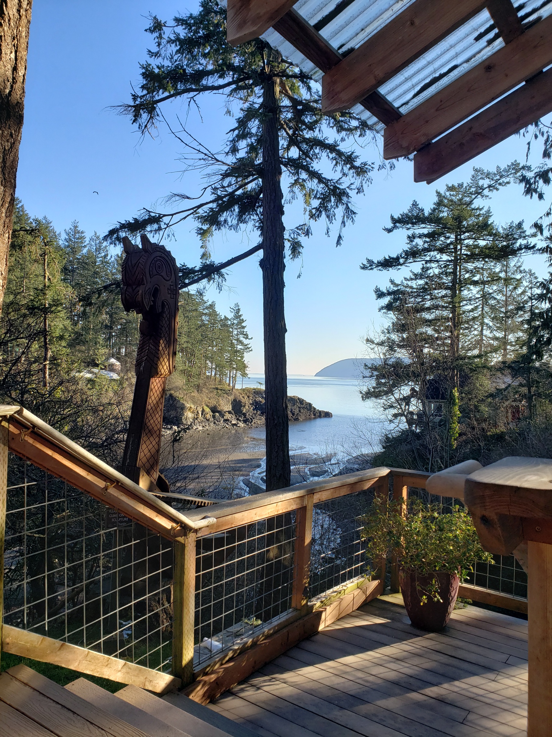
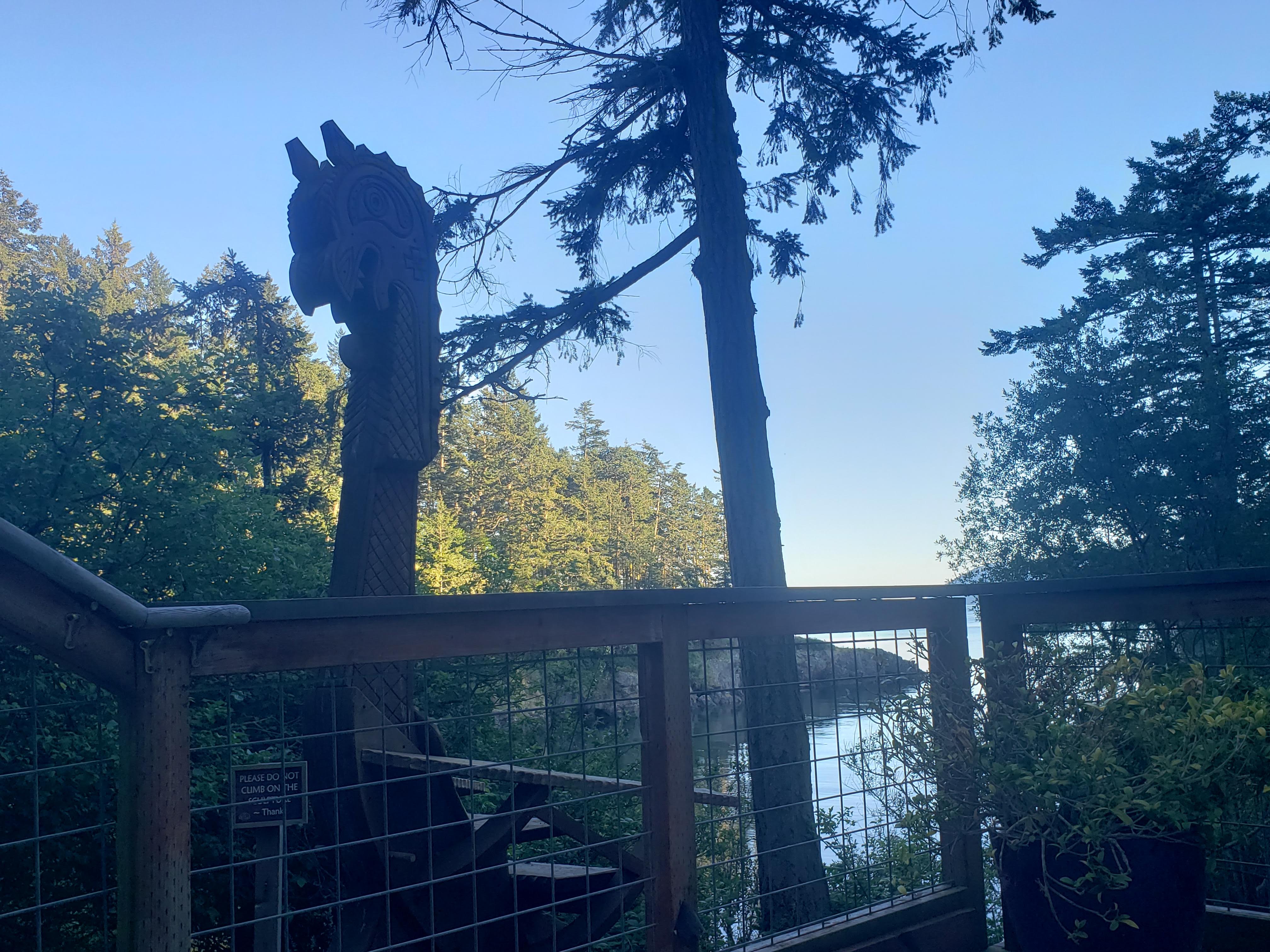
Image:Eaglesnest.jpg|alt="Eagles nest"|Eagle's Nest | Image:Eaglesnest.jpg|alt="Eagles nest"|Eagle's Nest | ||
Image:Grousegrove.jpg|alt="Grouse grove"|Grouse Grove | Image:Grousegrove.jpg|alt="Grouse grove"|Grouse Grove | ||
| + | Image:Seagull.jpg|alt="Seagull"|Seagull | ||
| + | Image:Gnomedome.jpg|alt="Gnome Dome"|Gnome Dome | ||
</gallery> | </gallery> | ||
| Line 181: | Line 190: | ||
Image:Sweetspot3.jpg|alt="sweetspot yurt"|Sweet Spot yurt | Image:Sweetspot3.jpg|alt="sweetspot yurt"|Sweet Spot yurt | ||
Image:Yurt-sweetspot.jpg|alt="sweet spot yurt"|Check out that view! | Image:Yurt-sweetspot.jpg|alt="sweet spot yurt"|Check out that view! | ||
| + | </gallery> | ||
| + | |||
| + | |||
| + | <gallery caption="Lower field pano" mode=packed heights=250px style="border: dashed thin"> | ||
| + | Image:Lowerfield-pano.jpg|alt="Lowerfield-pano.jpg"|360 - Cypress, Blakely, Peapod, Yoga Studio, Little House, Doe Bay store, Rosario Strait, Boathouse | ||
</gallery> | </gallery> | ||
| Line 186: | Line 200: | ||
=== Misc === | === Misc === | ||
<gallery mode=packed heights=250px style="border: dashed thin"> | <gallery mode=packed heights=250px style="border: dashed thin"> | ||
| − | Image: | + | Image:Deer2.jpg|alt="deer"|doe, a deer |
| − | |||
Image:Bells.jpg|alt="bridge bells"|creek bells | Image:Bells.jpg|alt="bridge bells"|creek bells | ||
| − | Image:Deer.jpg|alt="deer"| | + | Image:Deer.jpg|alt="deer"|<nowiki>#deerfacts</nowiki> |
Image:Doebaydrawing.jpg|alt="old Doe Bay map" | Image:Doebaydrawing.jpg|alt="old Doe Bay map" | ||
| + | Image:Ganesh.jpg|alt="reg"|road into Doe Bay, where Reg tent is | ||
| + | Image:Doebayroad.jpg|Doe Bay Road and walkway from Reg to Cafe/Store ... | ||
| + | Image:Doebayroad2.jpg|... and Doe Bay Road looking the other way | ||
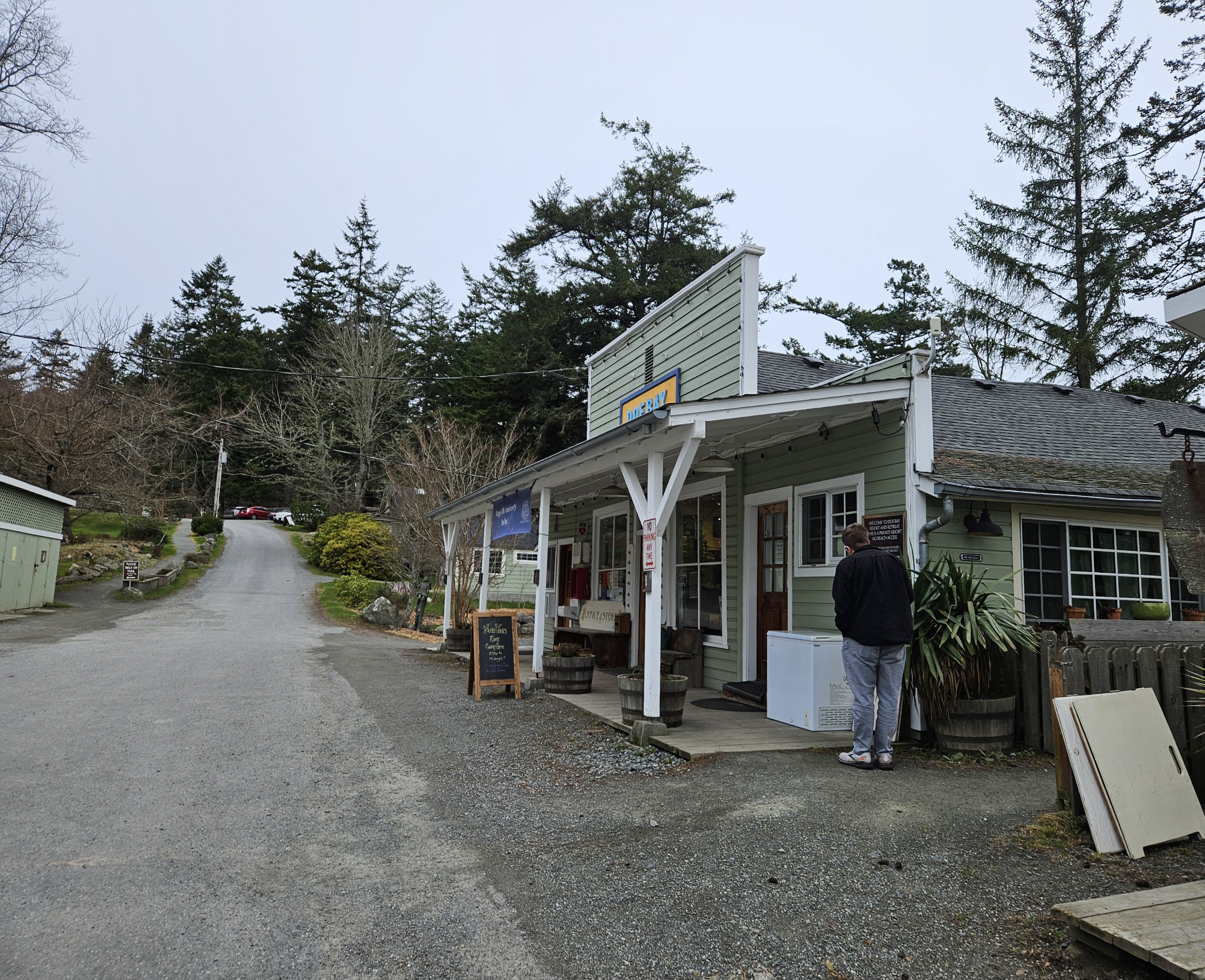
Image:Storecafe.jpg|alt="Doe Bay store"|Doe Bay Store, Cafe, and Otter Lounge | Image:Storecafe.jpg|alt="Doe Bay store"|Doe Bay Store, Cafe, and Otter Lounge | ||
| − | Image: | + | </gallery> |
| + | |||
| + | |||
| + | <gallery caption="Spa" mode=packed heights=250px style="border: dashed thin"> | ||
| + | Image:Spaview.jpg|alt="spa view"|spa view at low tide | ||
| + | Image:Spaview3.jpg|alt="spa view"|all 3 soaking tubs are open again | ||
| + | Image:Spaview2.jpg|alt="spa view"|view from the spa | ||
</gallery> | </gallery> | ||
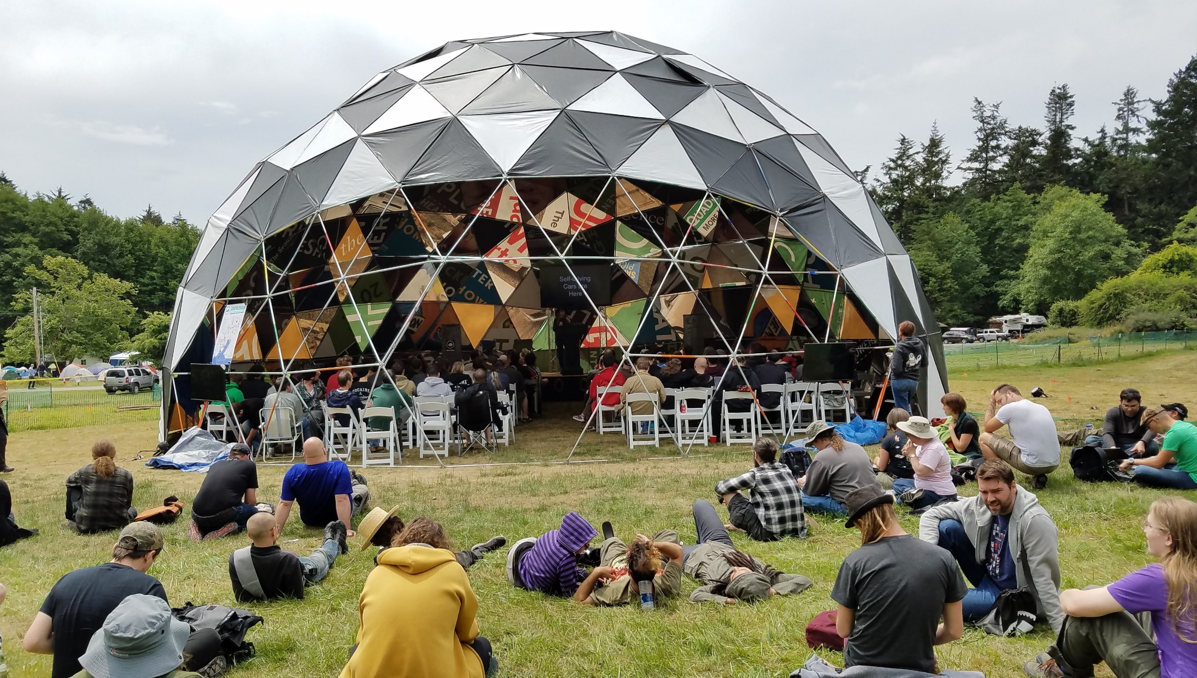
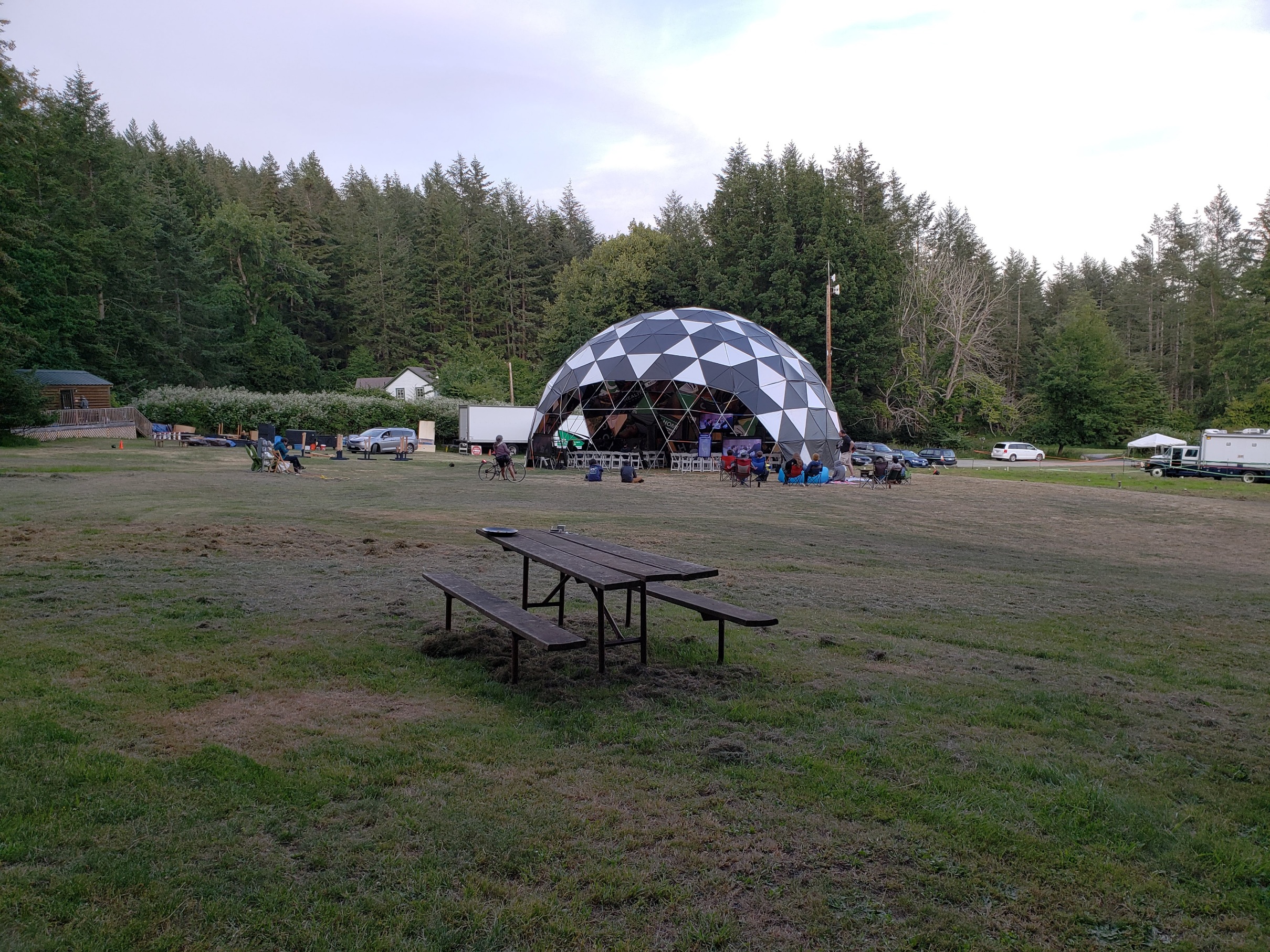
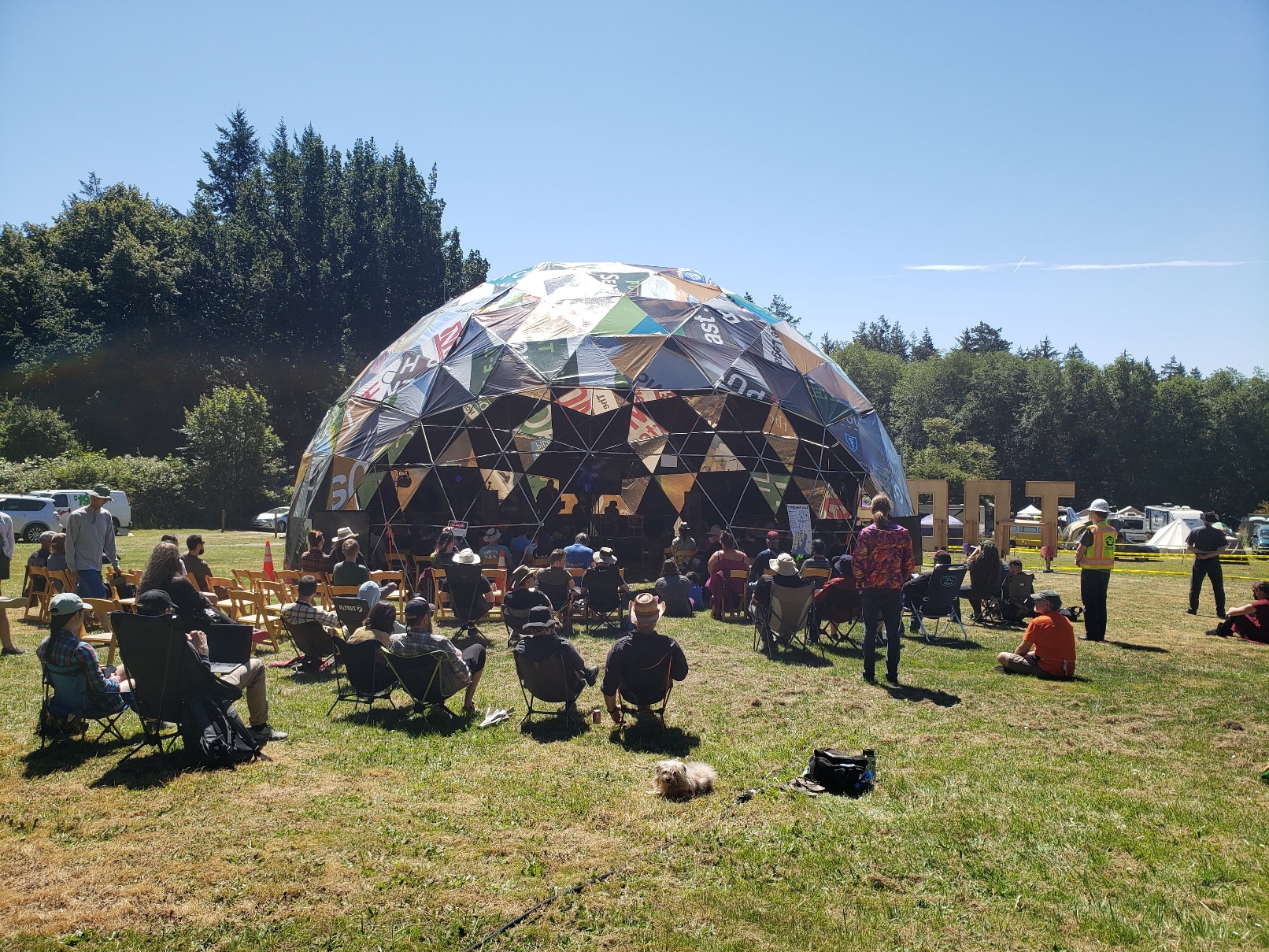
<gallery caption="Prime Dome" mode=packed heights=250px style="border: dashed thin"> | <gallery caption="Prime Dome" mode=packed heights=250px style="border: dashed thin"> | ||
| + | Image:Primedome2016.jpg|2016 | ||
Image:Primedome2018.jpg|2018 | Image:Primedome2018.jpg|2018 | ||
Image:Primedome2022.jpg|2022 | Image:Primedome2022.jpg|2022 | ||
| Line 212: | Line 235: | ||
Image:Superlowtide.jpg|alt="super low tide"|king tides | Image:Superlowtide.jpg|alt="super low tide"|king tides | ||
Image:Doebaysunset2.jpg|alt="sunset"|summer sunset | Image:Doebaysunset2.jpg|alt="sunset"|summer sunset | ||
| + | Image:Thepoint-lights.jpg|alt="all lit up!"|The point all lit up and pretty! | ||
Image:Toorcampsign1.jpg|alt="ToorCamp sign" | Image:Toorcampsign1.jpg|alt="ToorCamp sign" | ||
| − | Image: | + | Image:Toorcampsign6.jpg|alt="ToorCamp sign" |
</gallery> | </gallery> | ||
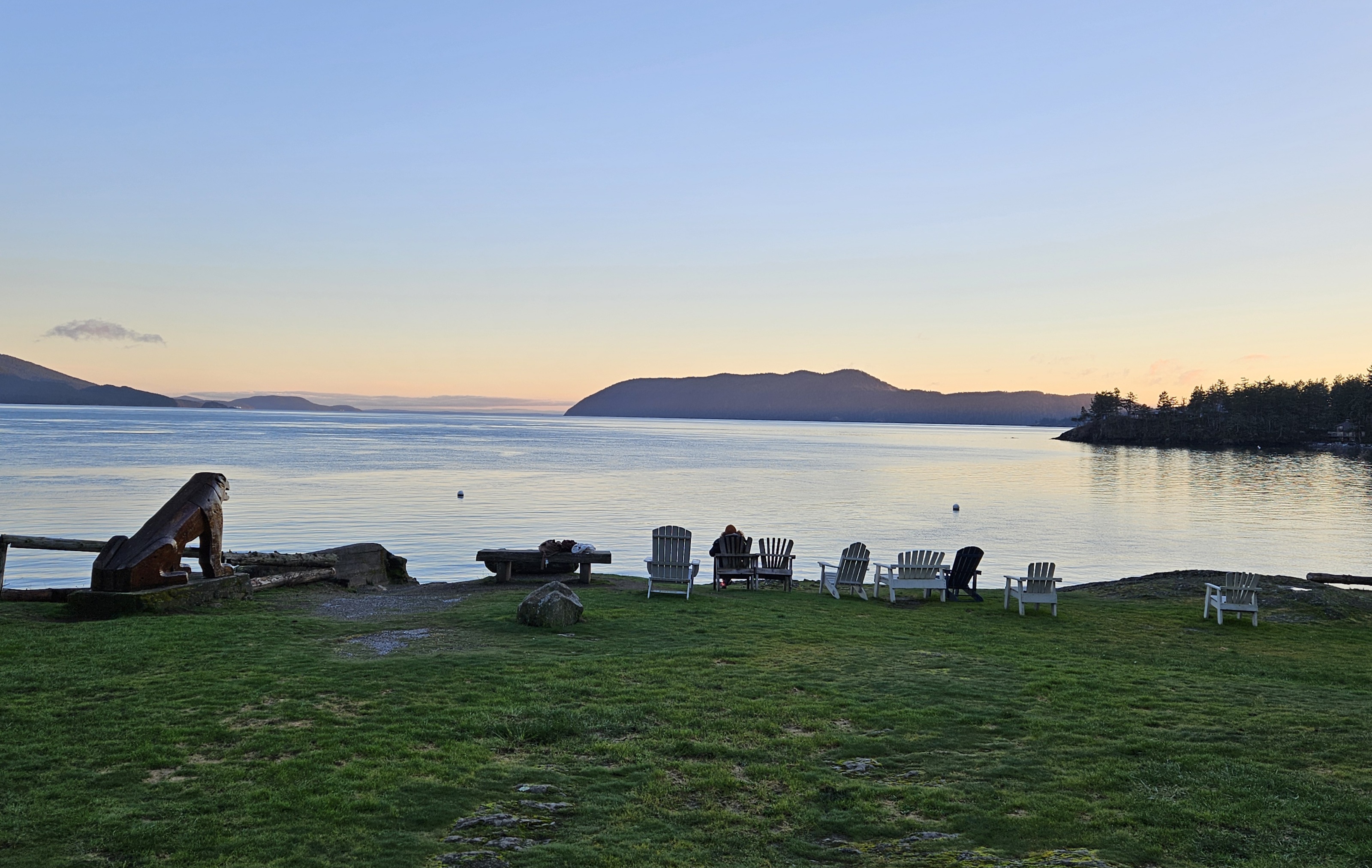
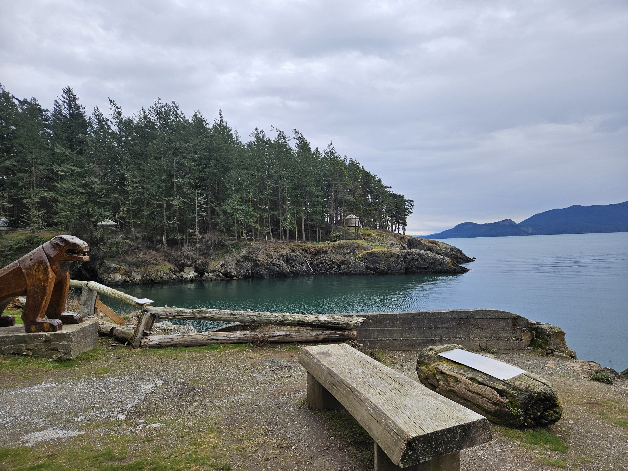
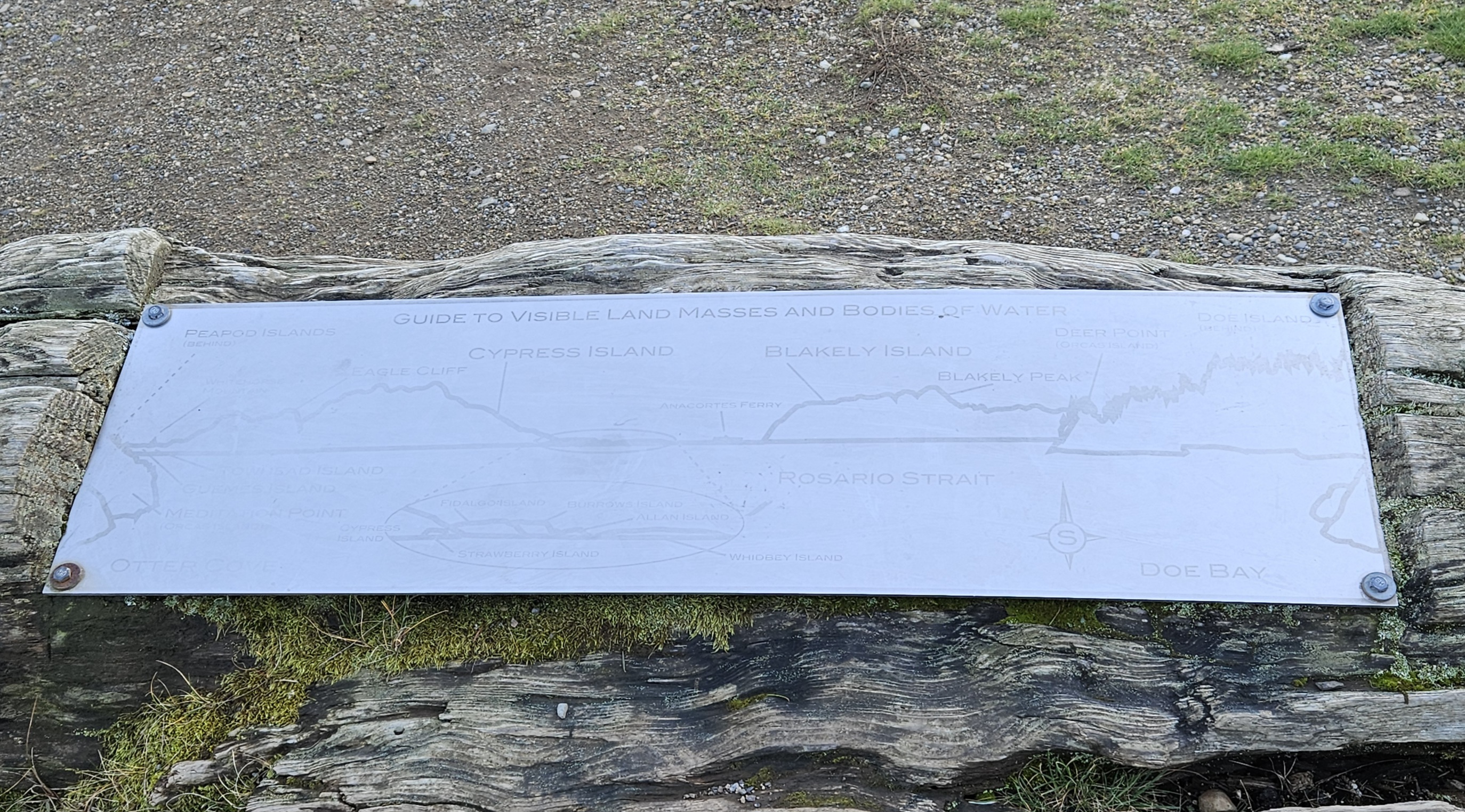
<gallery caption="Can't get enough of this view!" mode=packed heights=250px style="border: dashed thin"> | <gallery caption="Can't get enough of this view!" mode=packed heights=250px style="border: dashed thin"> | ||
| + | Image: Cliff9.jpg|alt="full moon" | ||
Image: Cliff5.jpg|alt="Doe Bay sunset" | Image: Cliff5.jpg|alt="Doe Bay sunset" | ||
Image: Cliff1.jpg|alt="Doe Bay view" | Image: Cliff1.jpg|alt="Doe Bay view" | ||
| − | Image: Cliff3.jpg|alt=" | + | Image: Cliff3.jpg|alt="islands plaque" |
</gallery> | </gallery> | ||
Revision as of 14:24, 15 March 2024
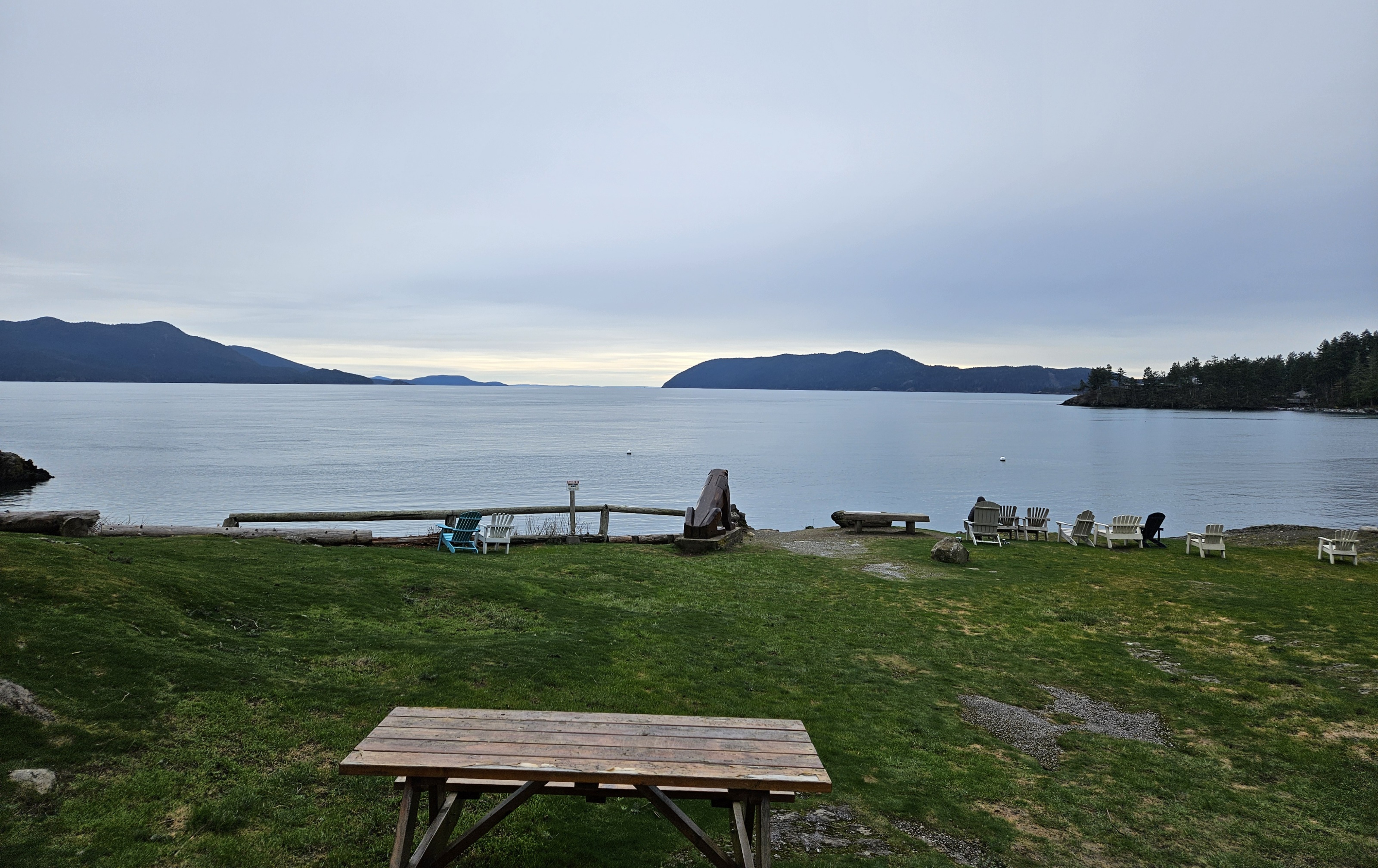
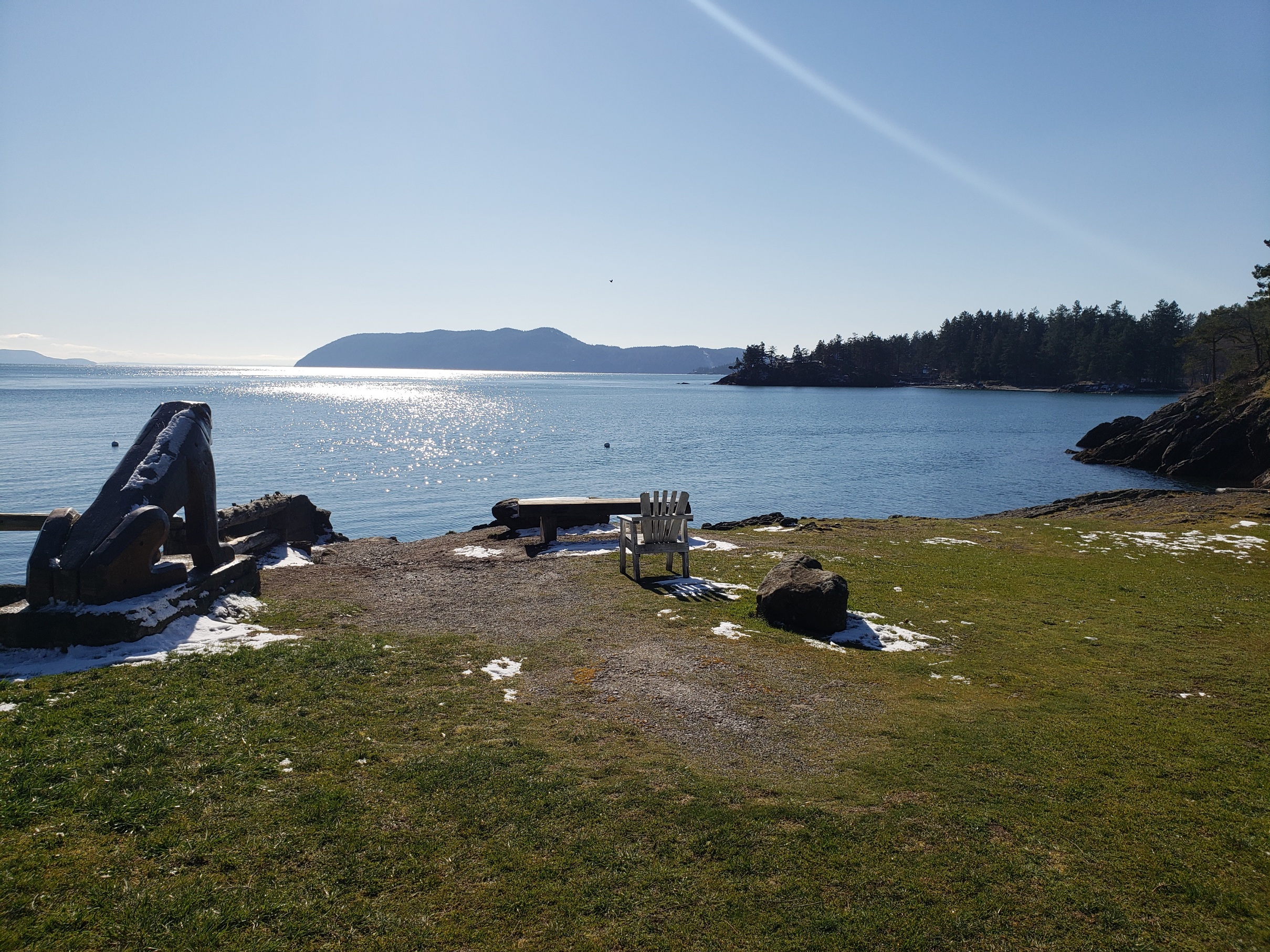
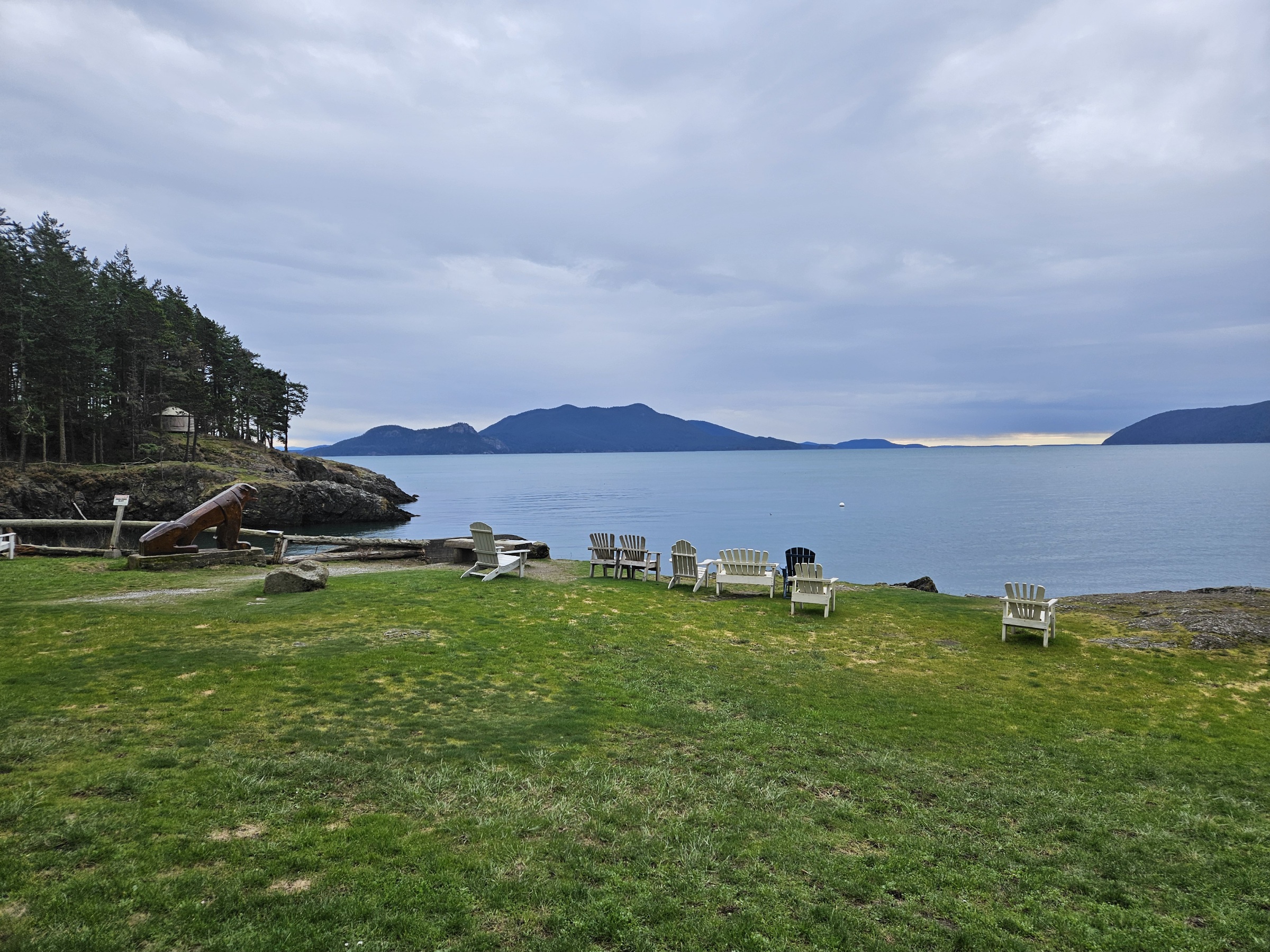
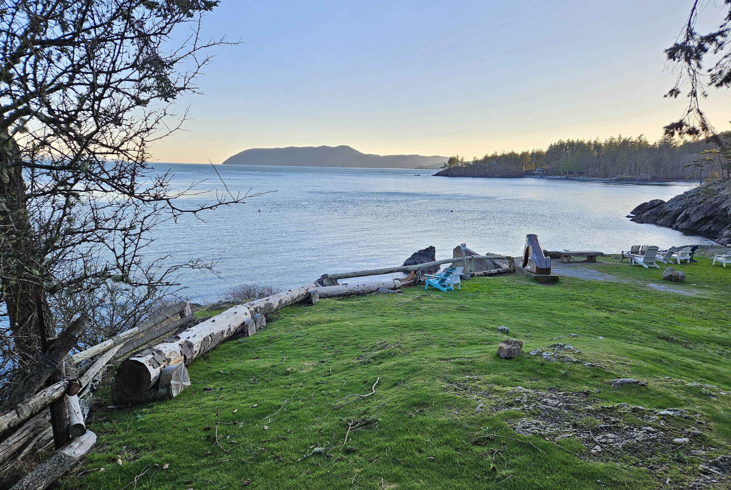
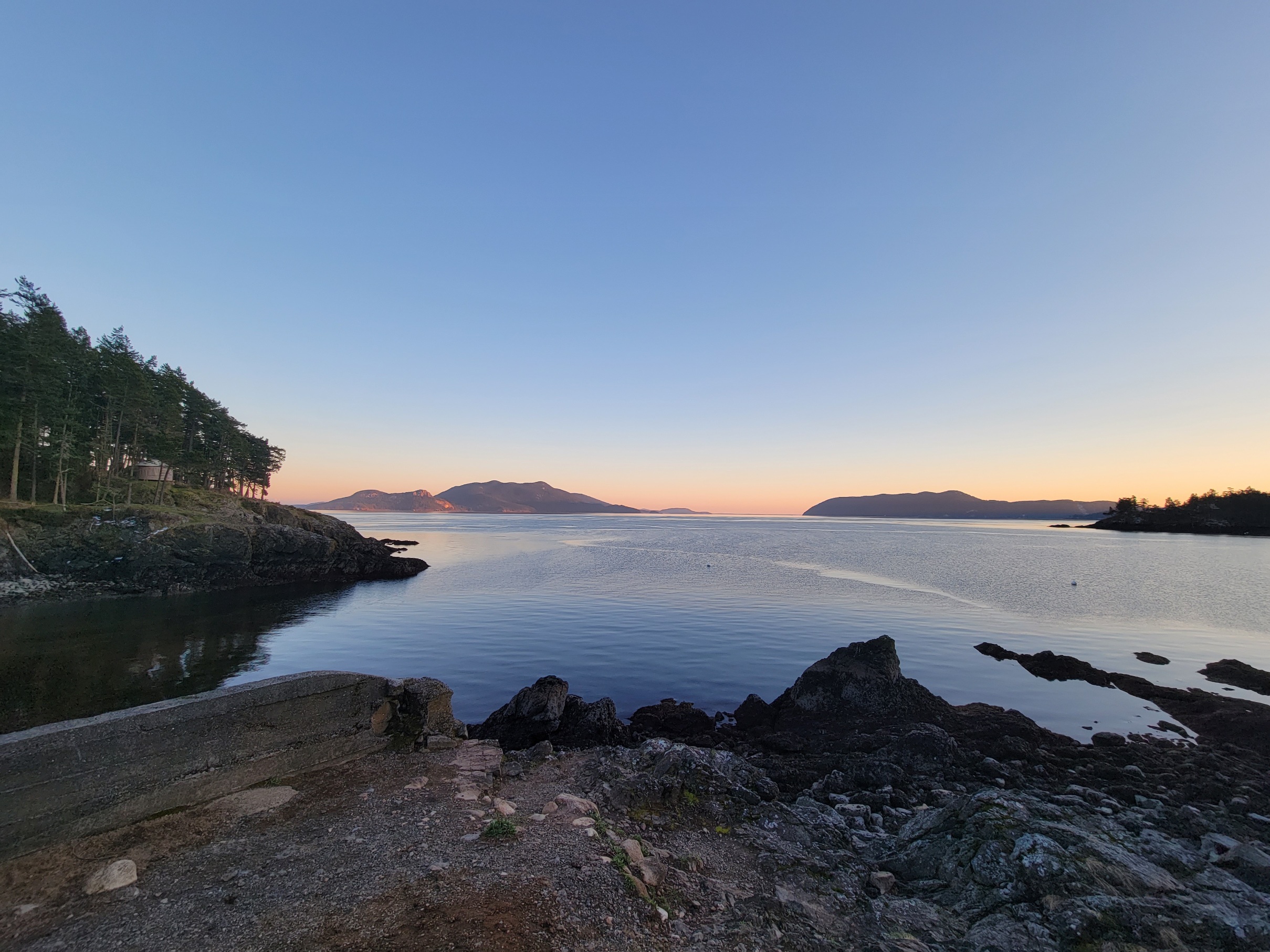
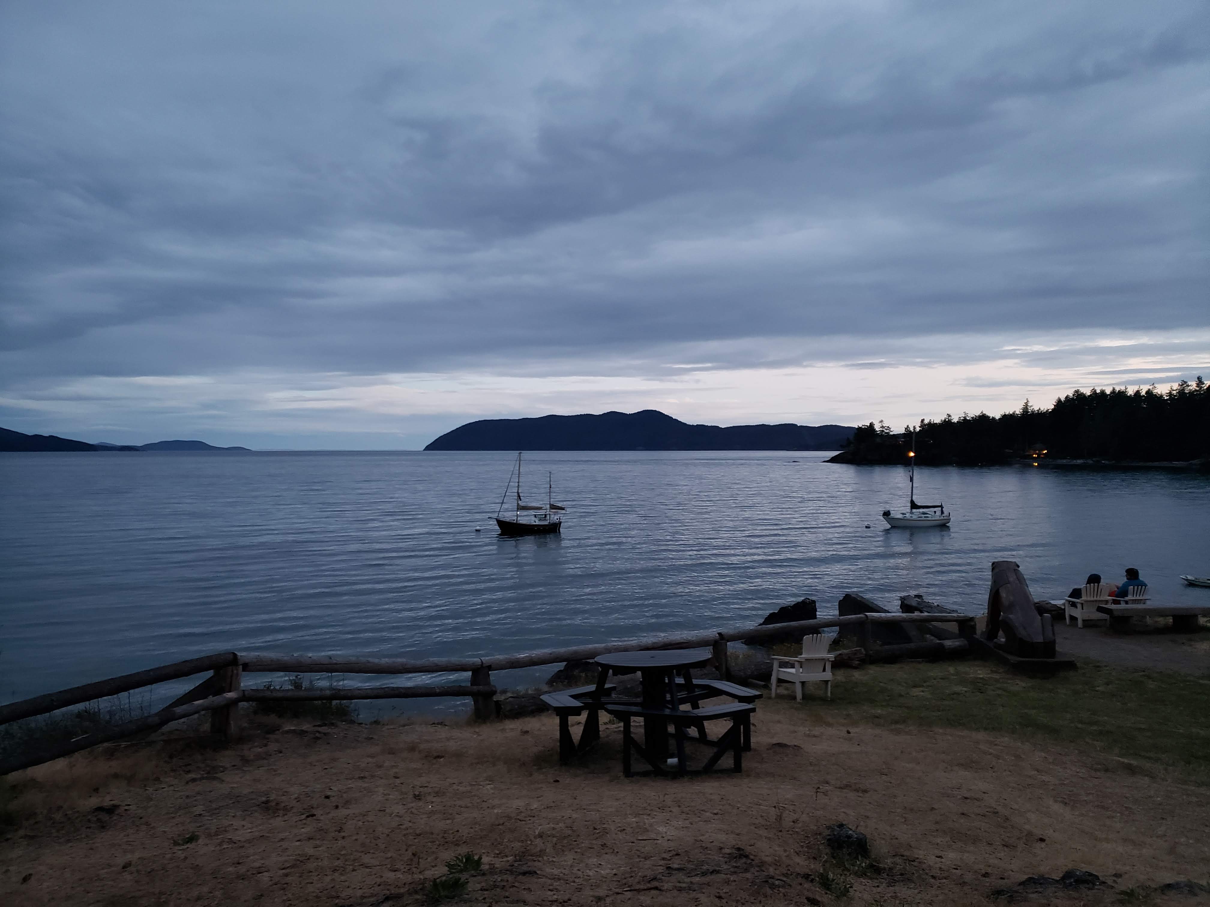
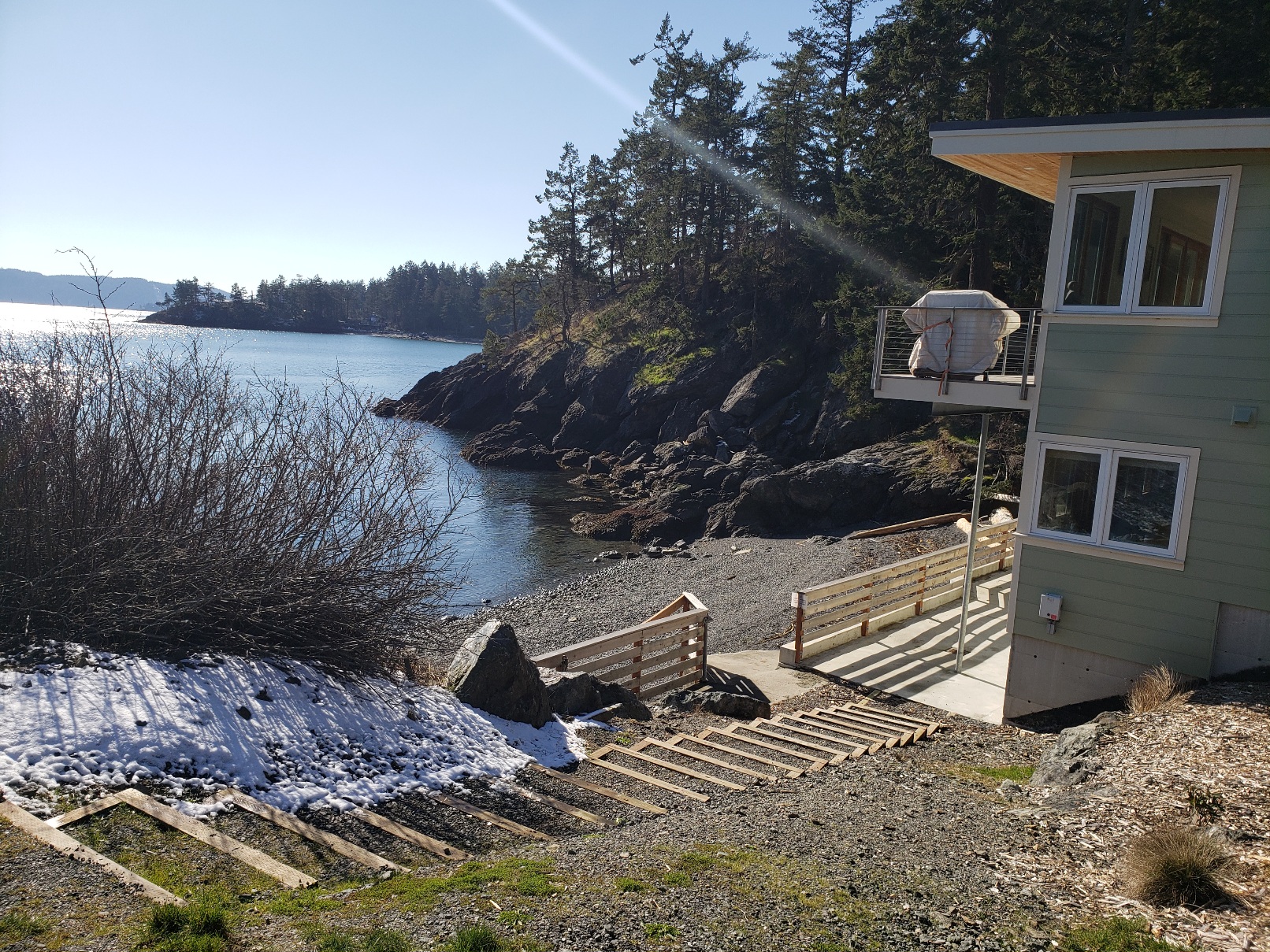
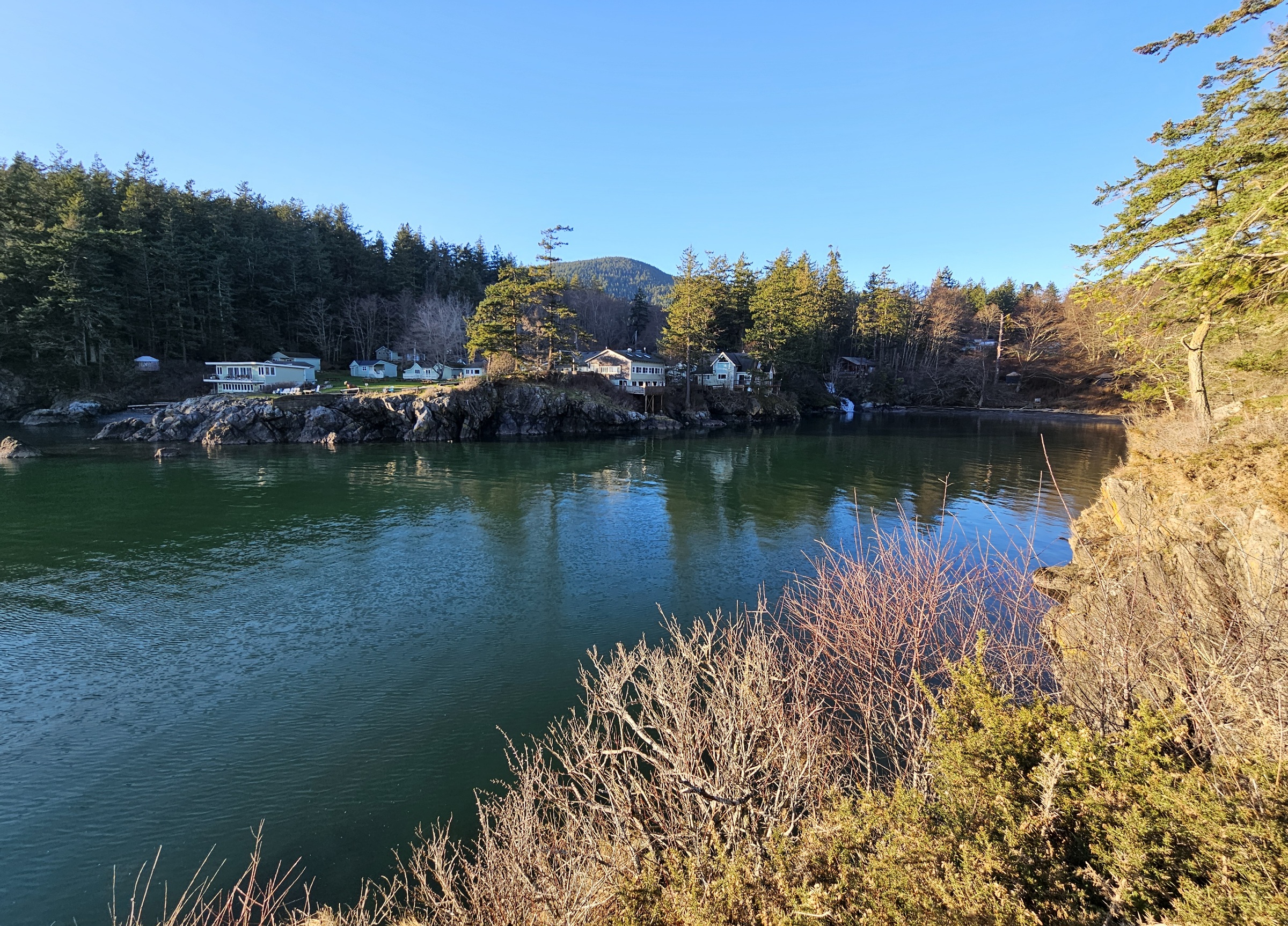
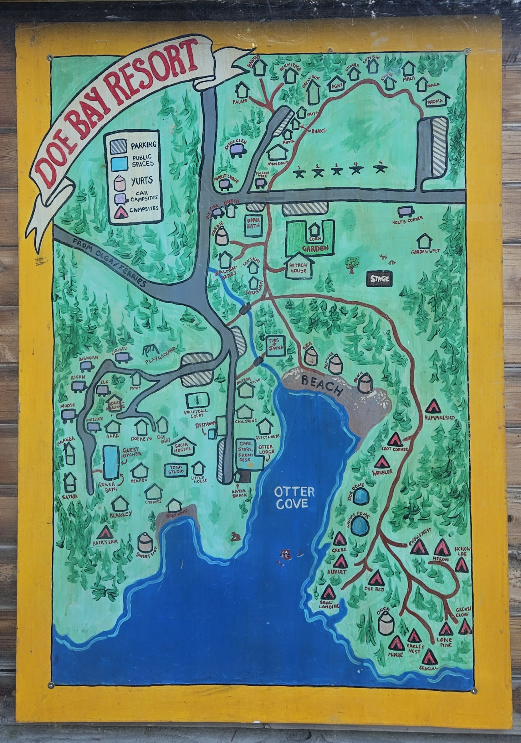
Photos of Doe Bay mostly taken by Zarkle from visits in February 2024, February and July 2022, 2018, and 2016. In the summer the greenery provides great cover, but winter pics show more detail.
Doe Bay
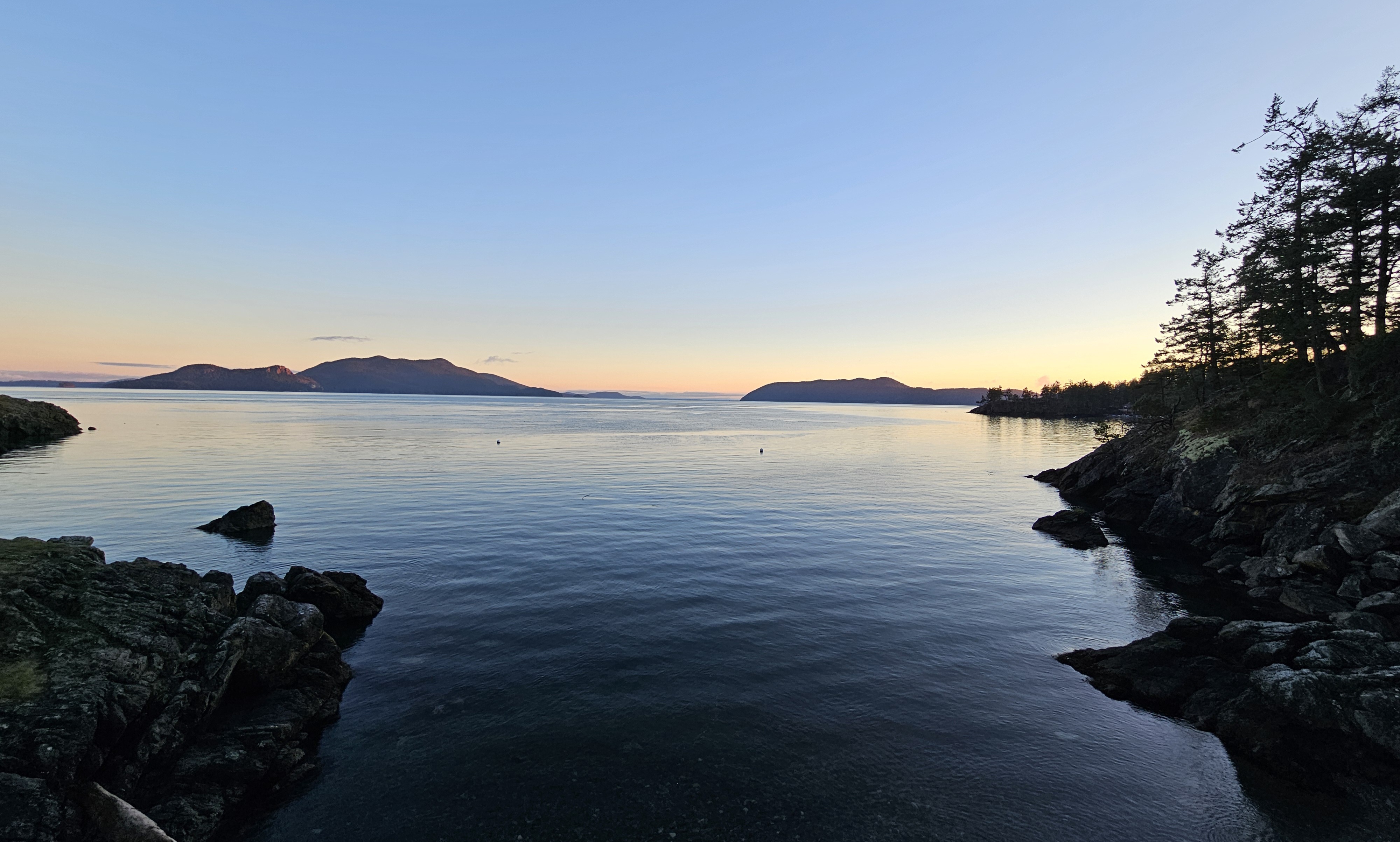
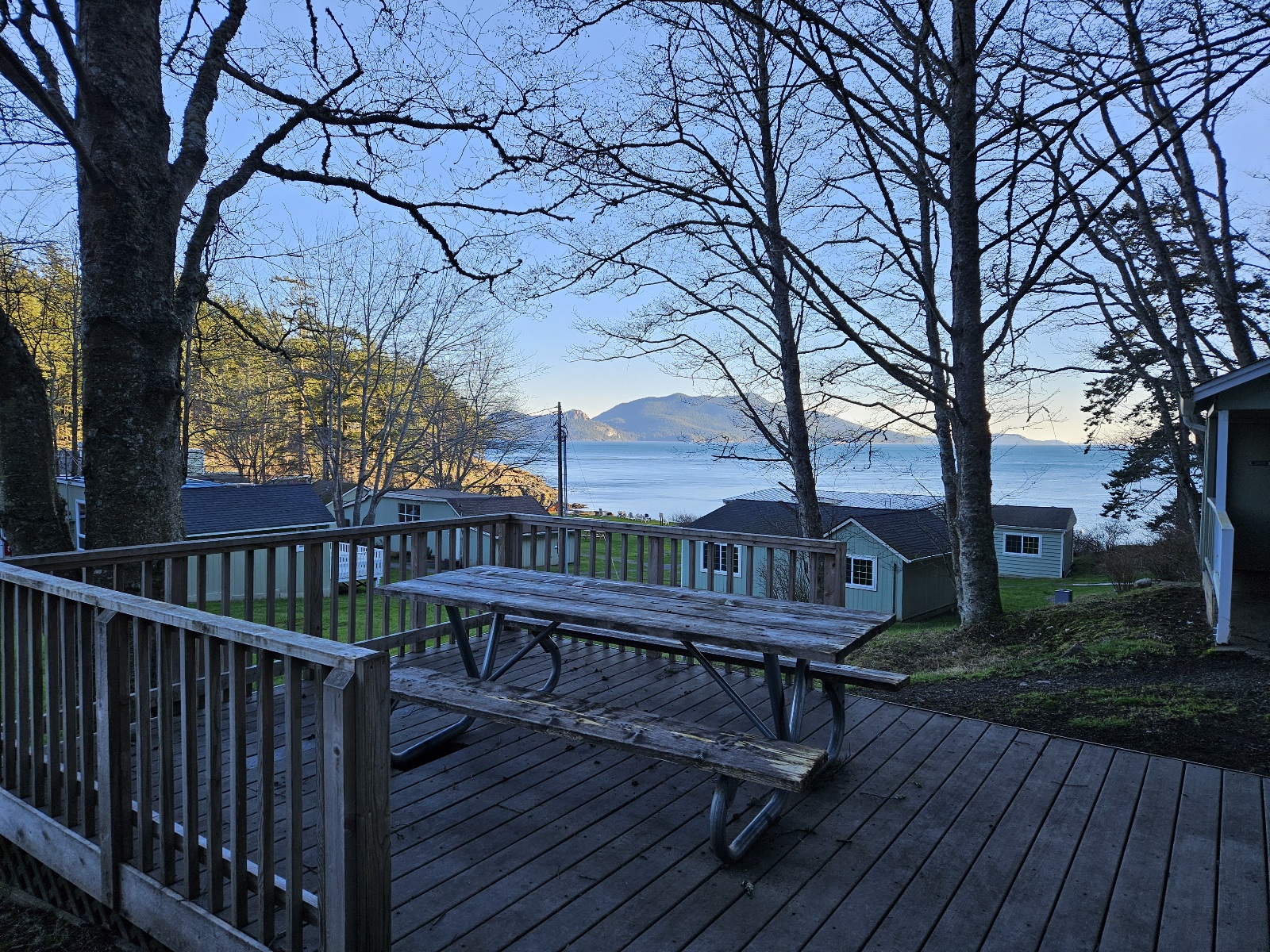
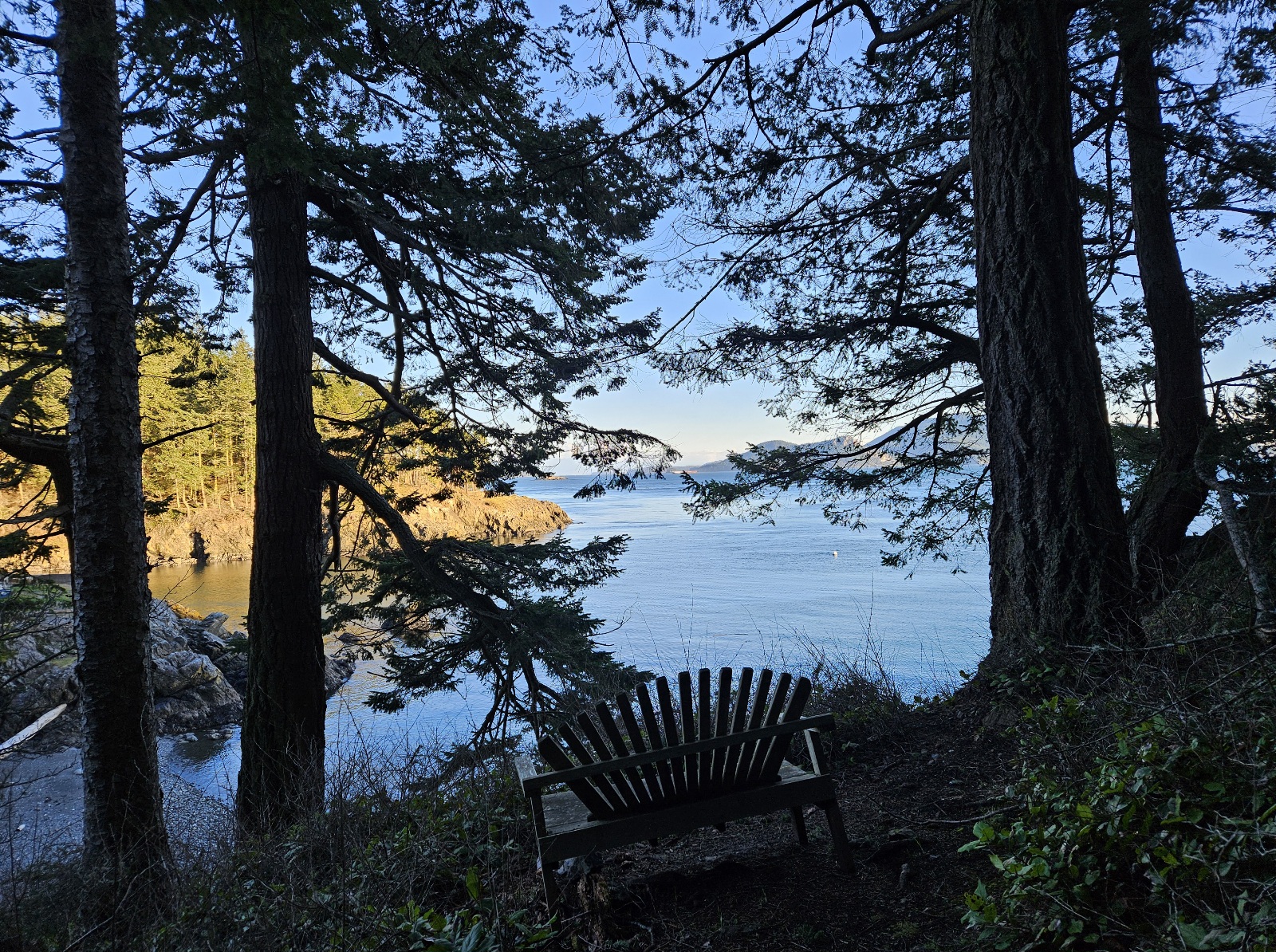
- This view never gets old!


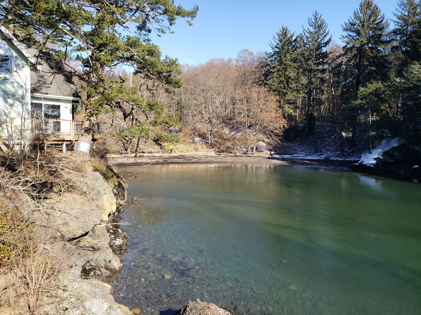
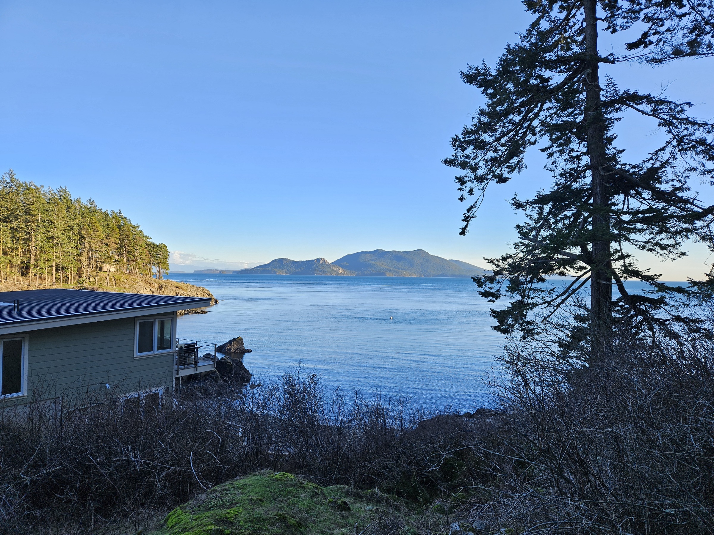
- Boathouse
kayak beach
Sweet Spot yurt in the distance
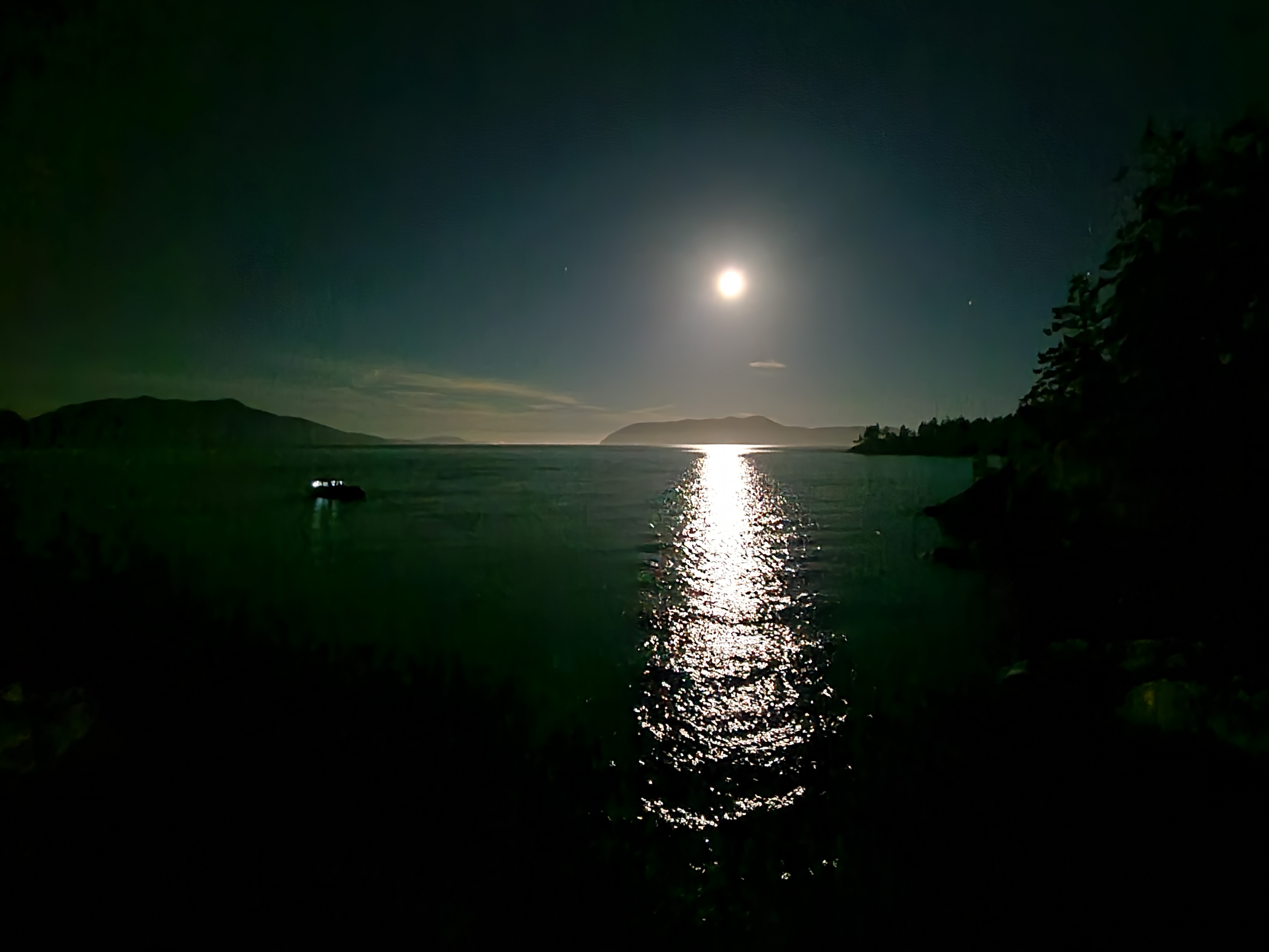
full moon


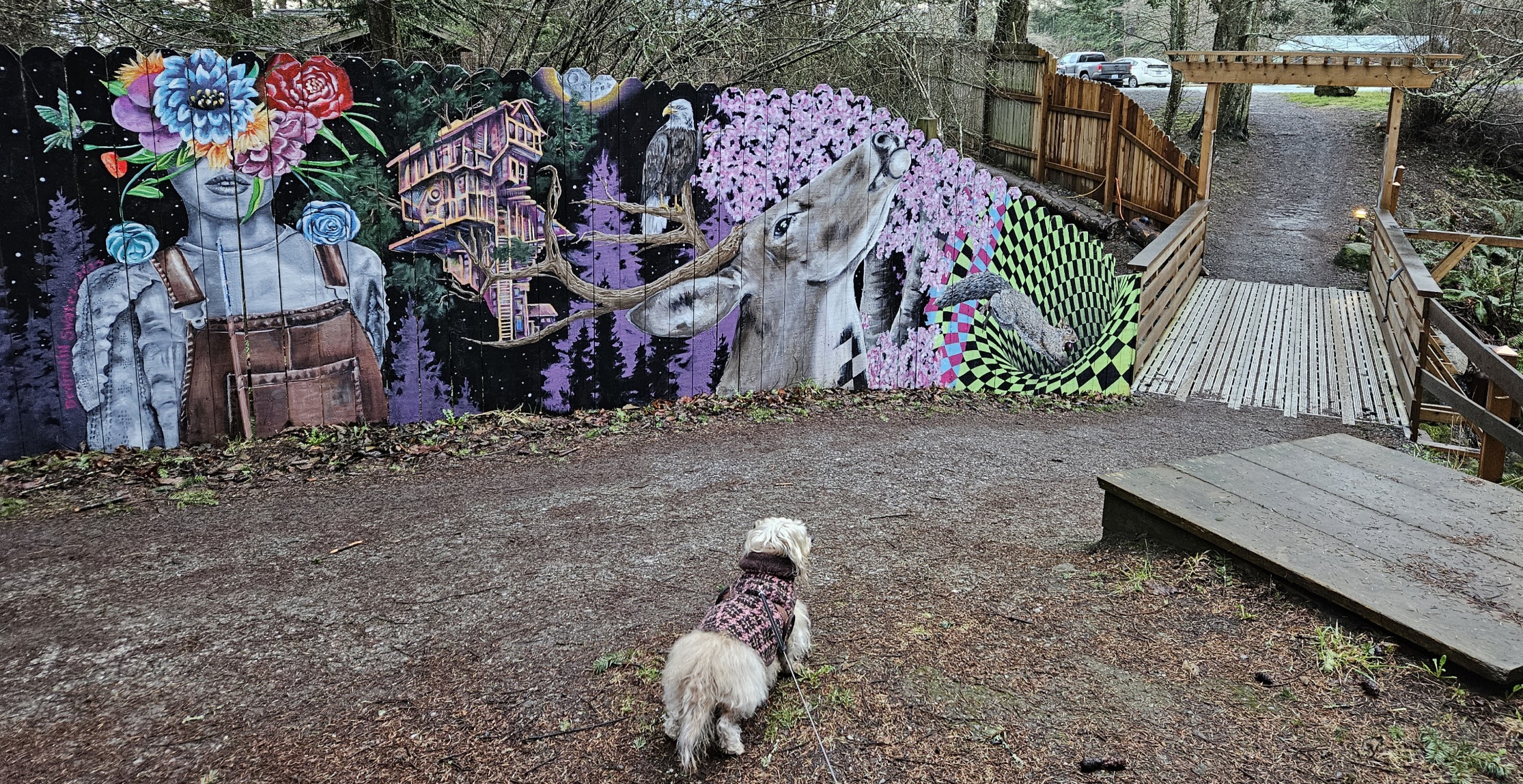
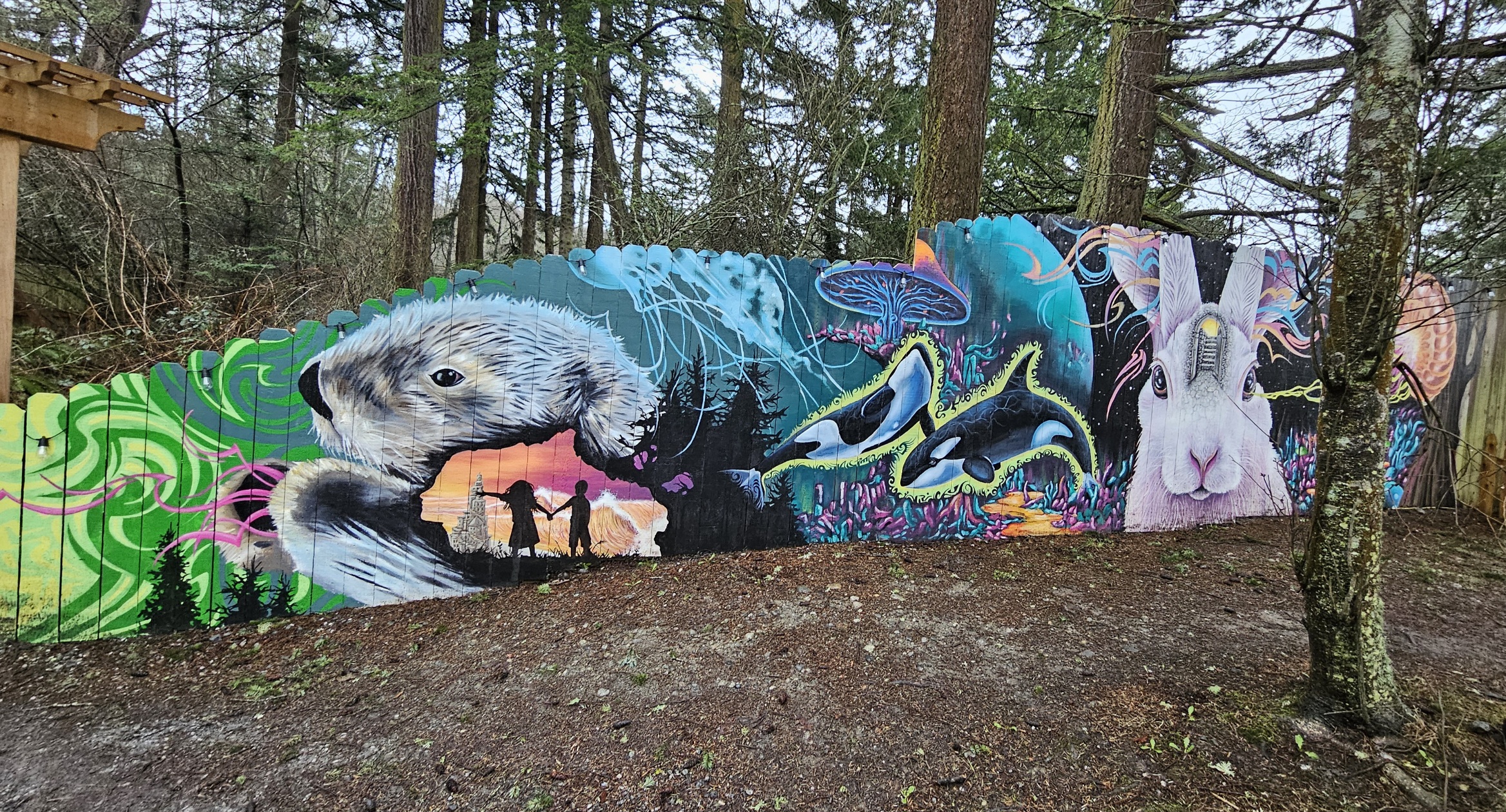
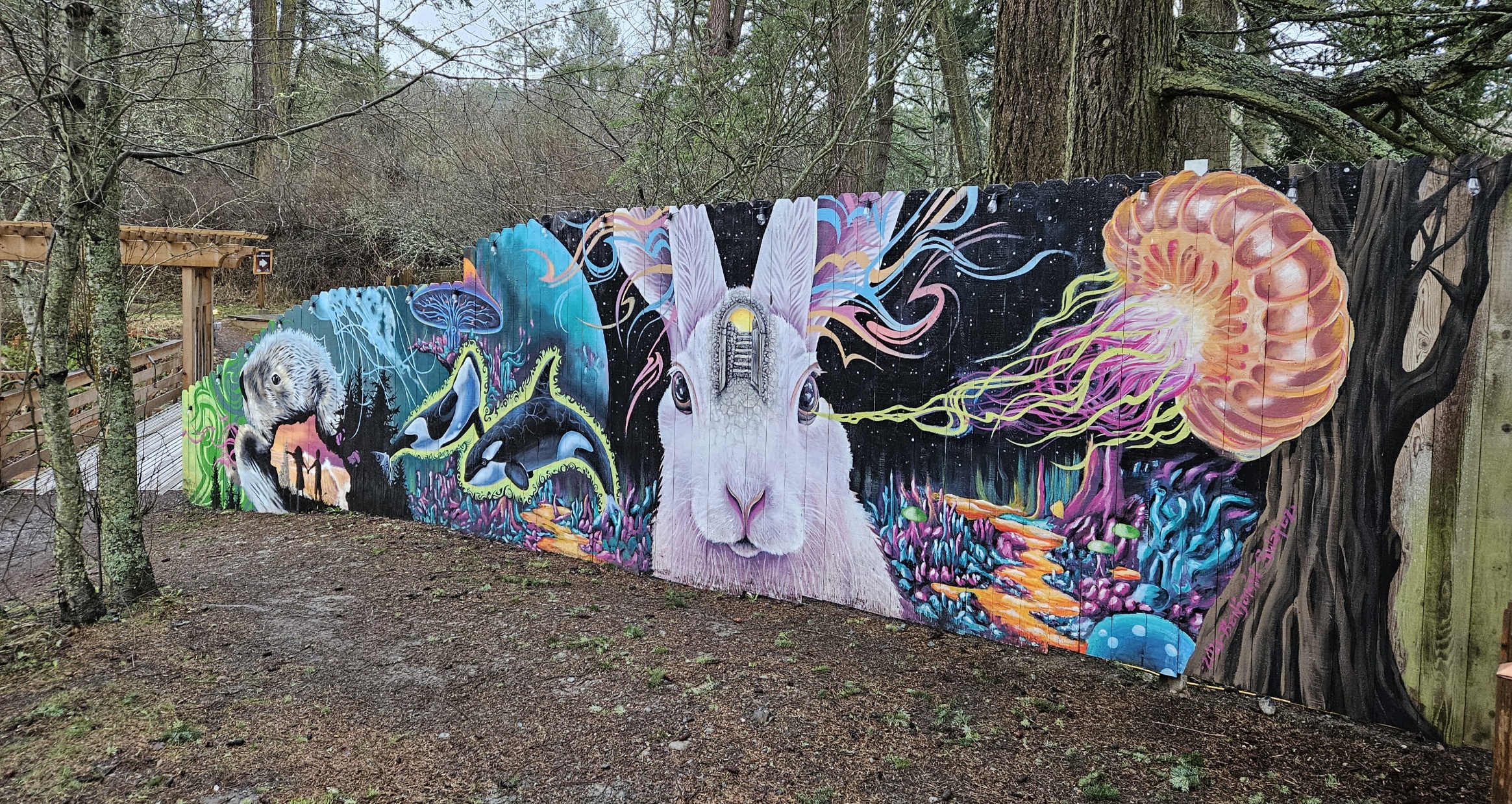
- new mural!


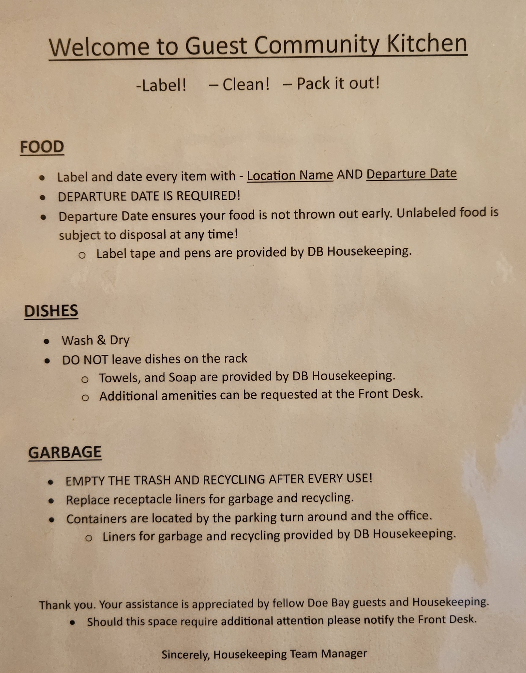
Amenities
- Guest Kitchen
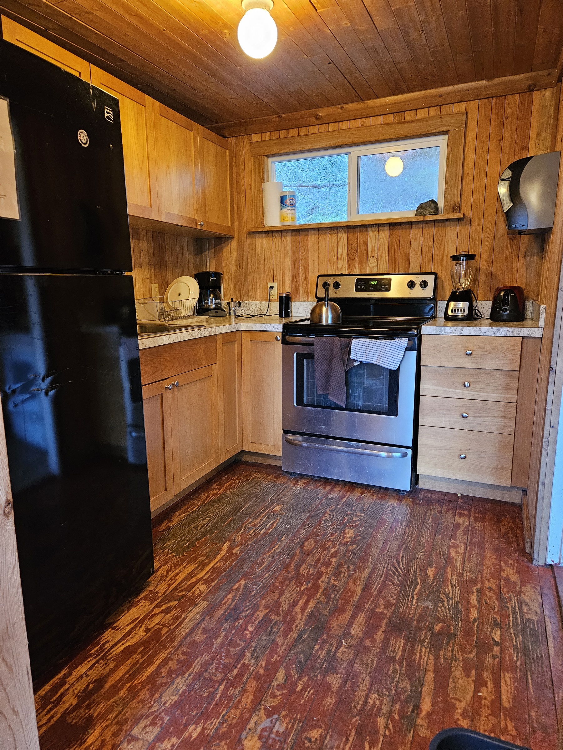
Guest kitchen
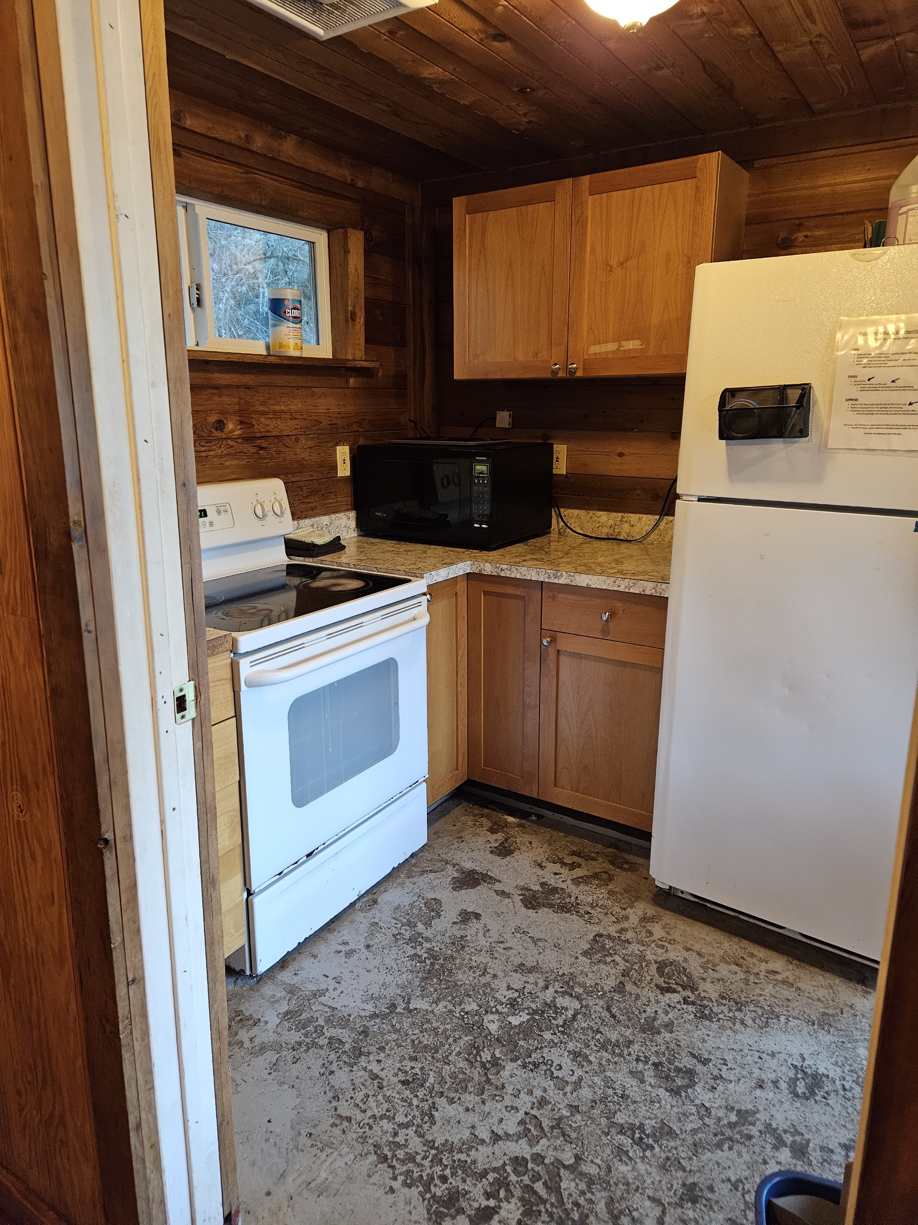
Guest kitchen
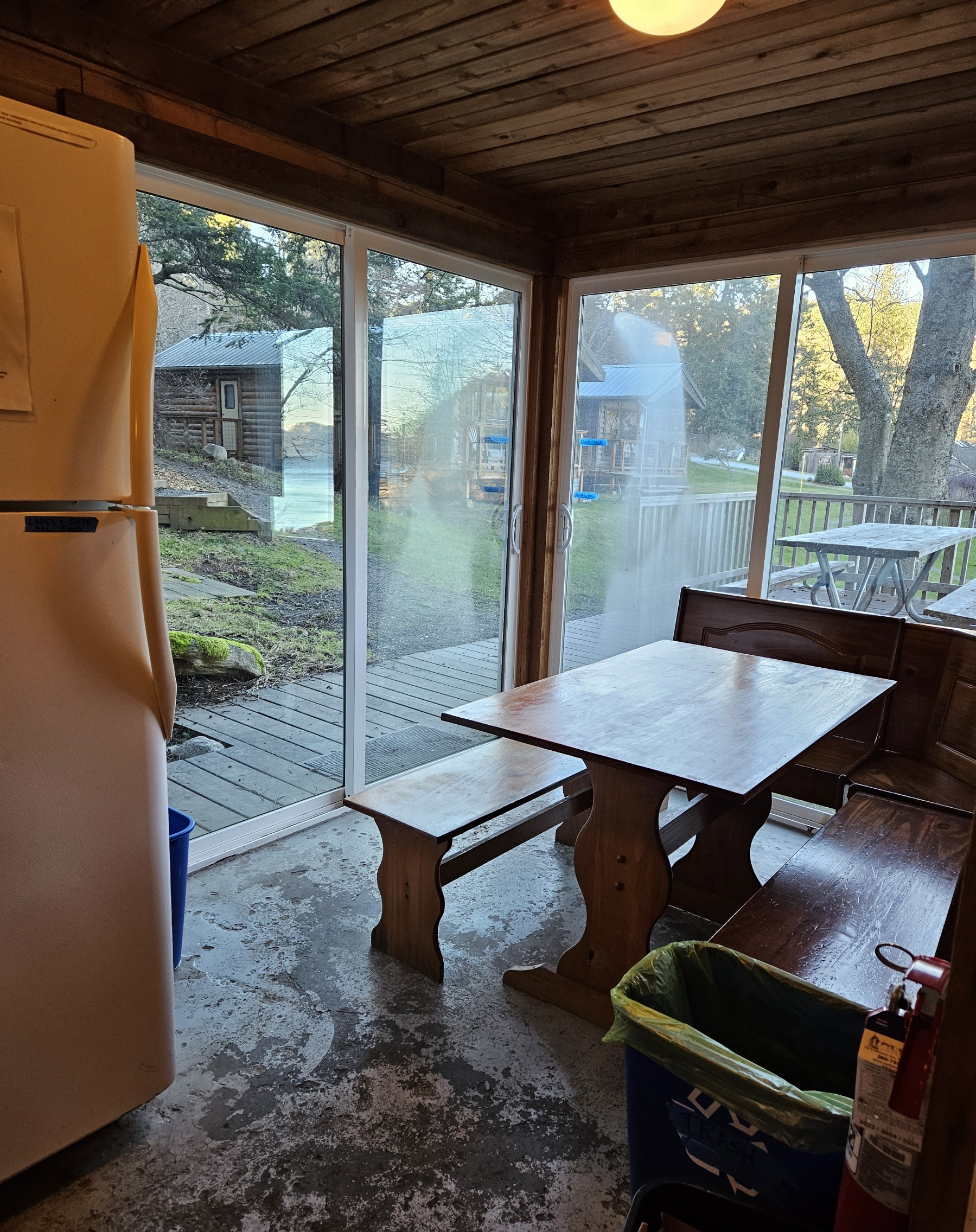
Guest kitchen indoor seating
Guest kitchen outdoor seating


- Lower Bath
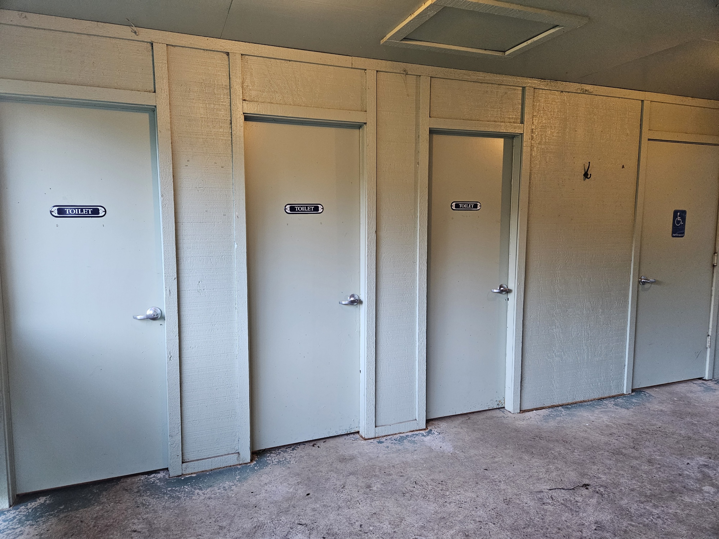
Lower bath toilets
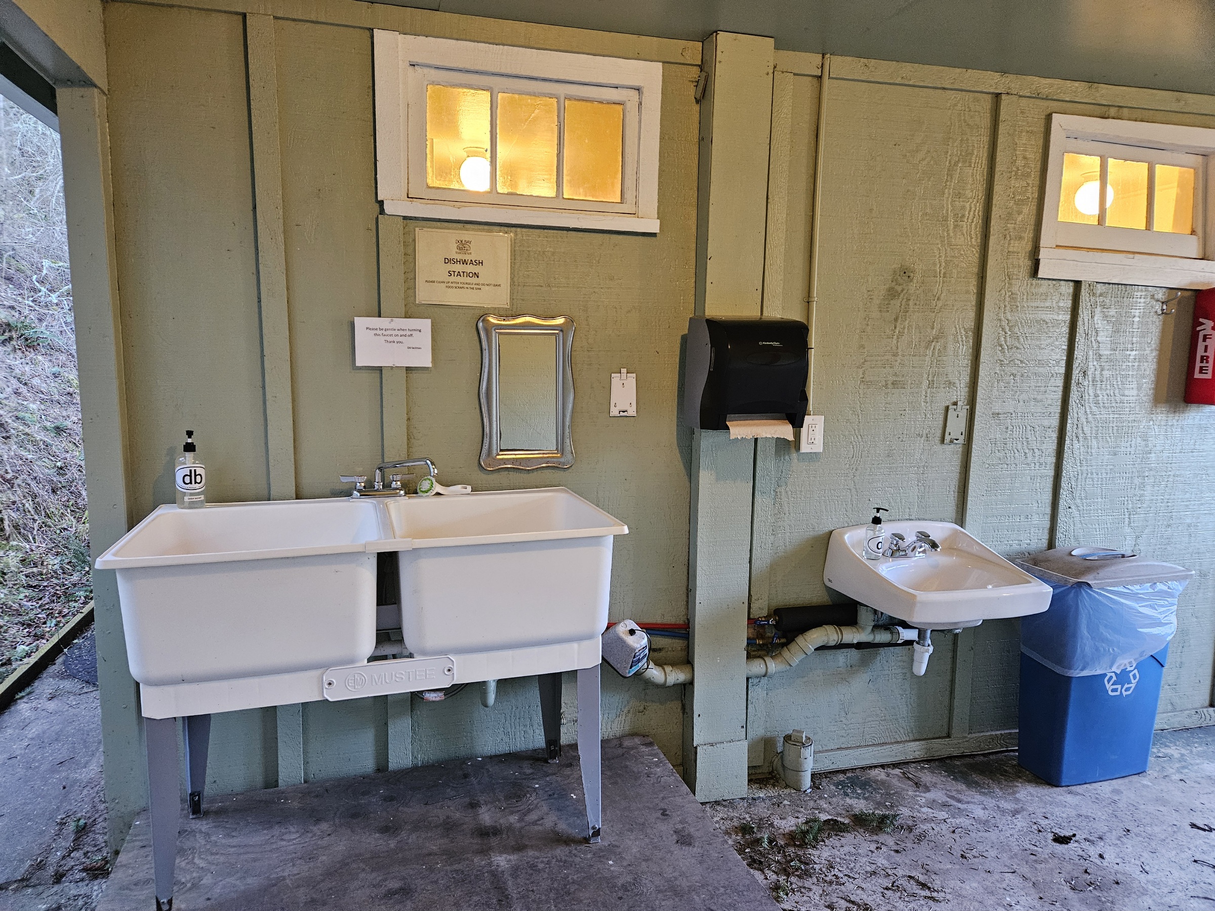
Lower bath dish wash station
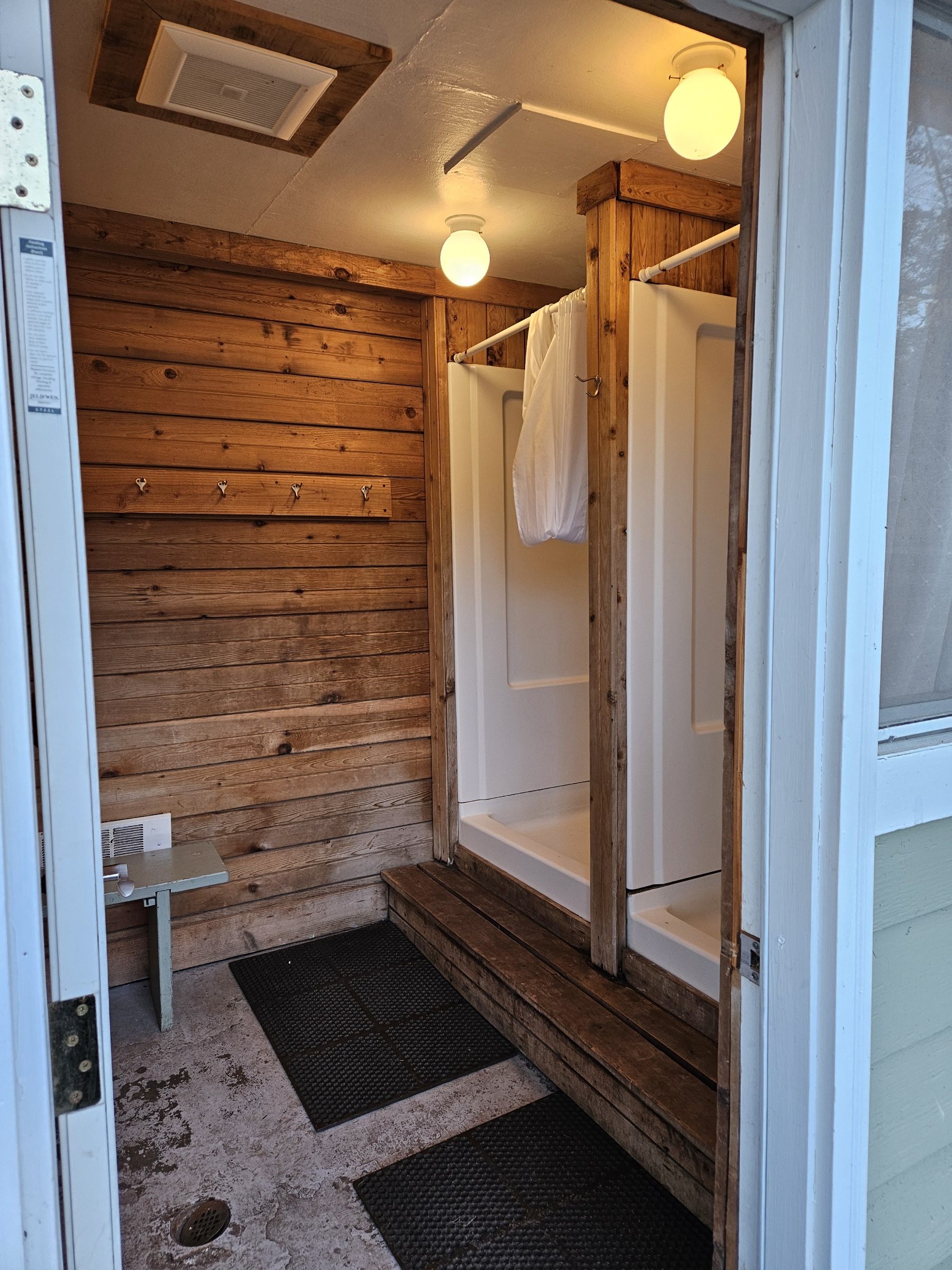
Lower bath showers (separate mens and womens)

Trail from Ganesh Way to lower restrooms


- Upper Bath
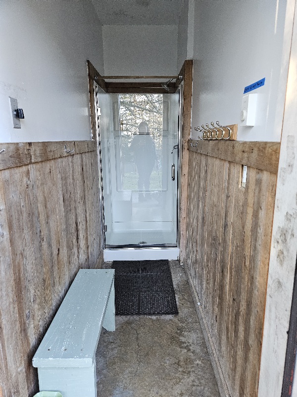
Upper bath shower
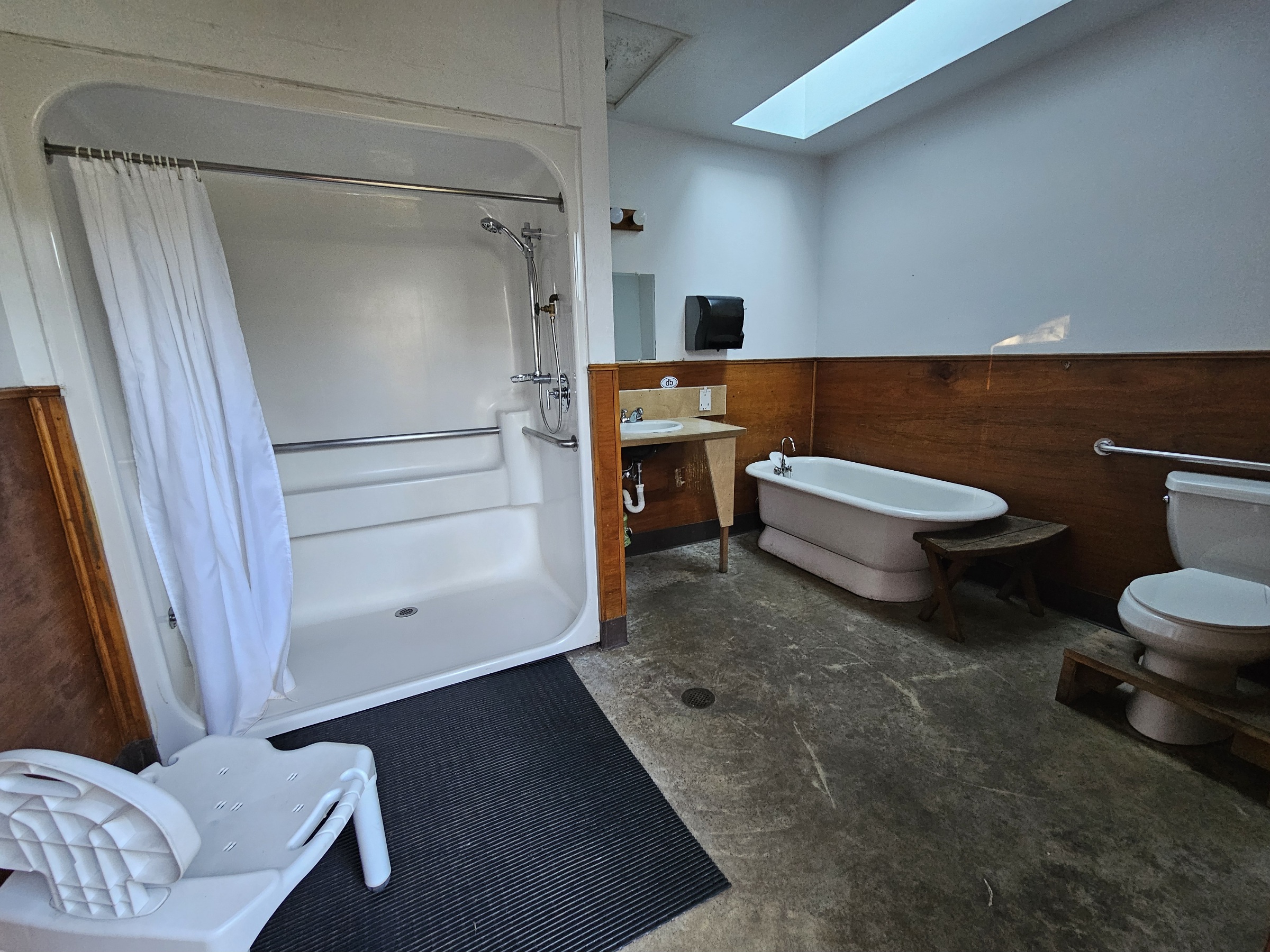
Upper bath ADA shower


- Camper Comfort Station
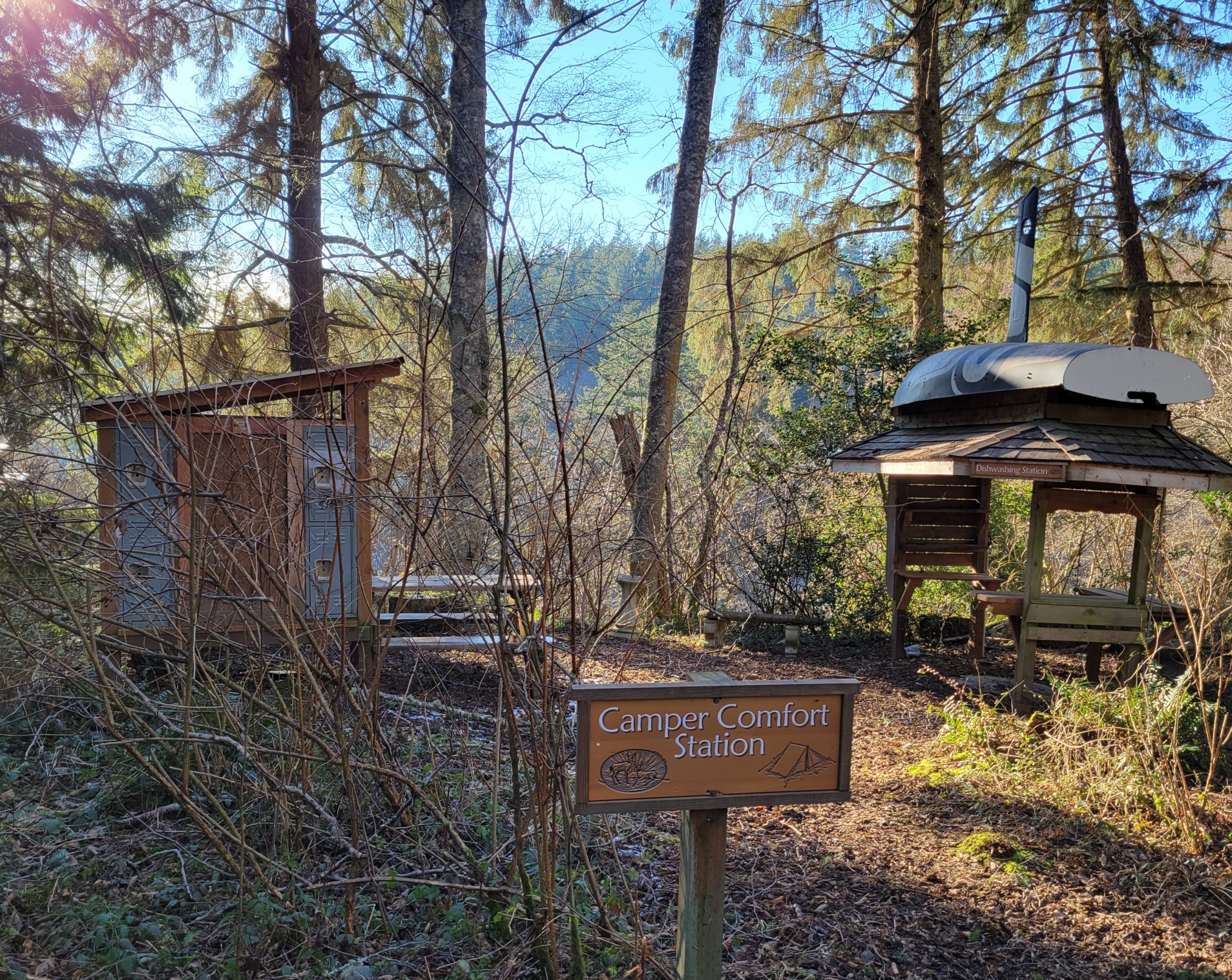
camper comfort station for Nature District campsites w/ potable water
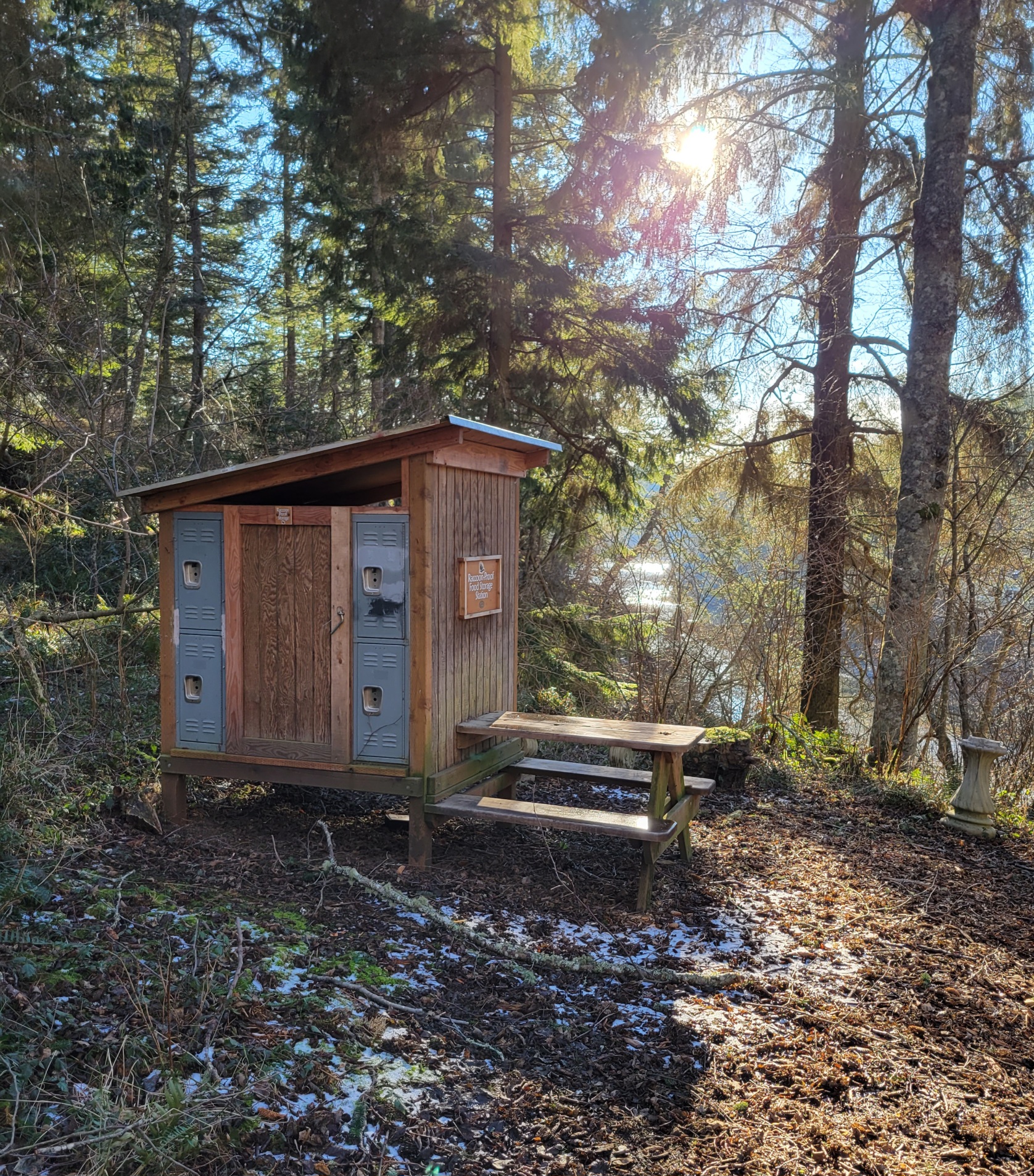
food storage station
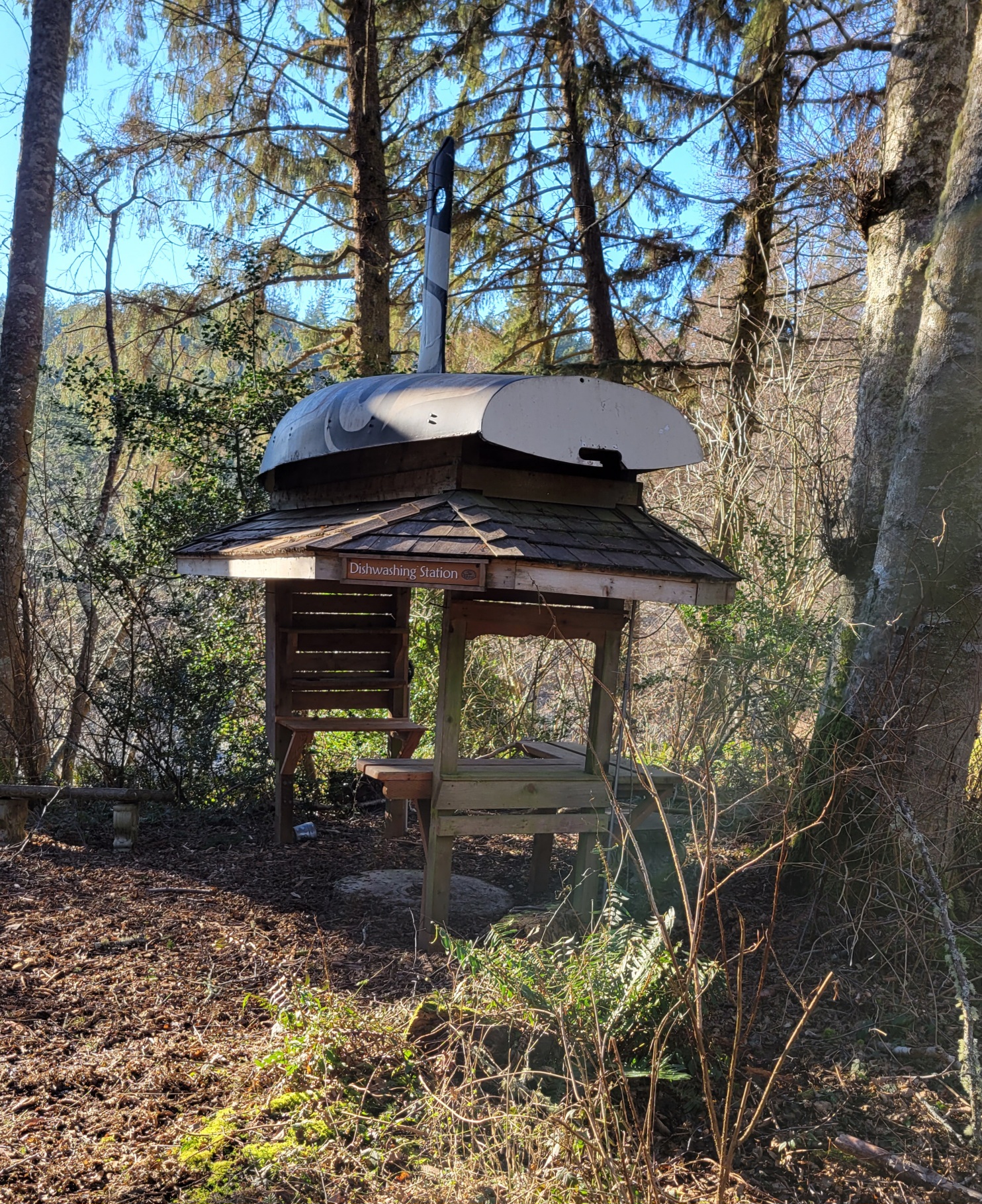
dishwashing station


- Misc
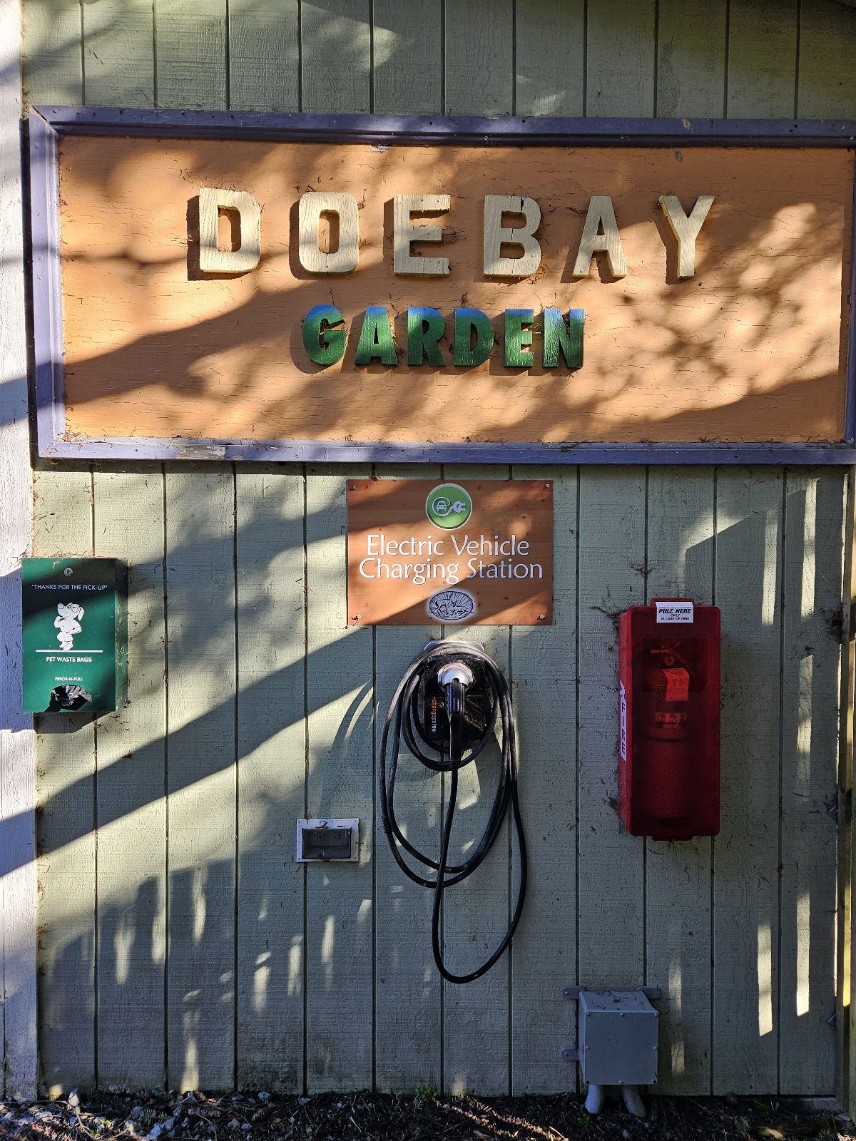
free EV charger adjacent to the garden
water spigot behind yoga studio w/ potable water (and tesla coil tunes)


Prime District
- Prime Dome field
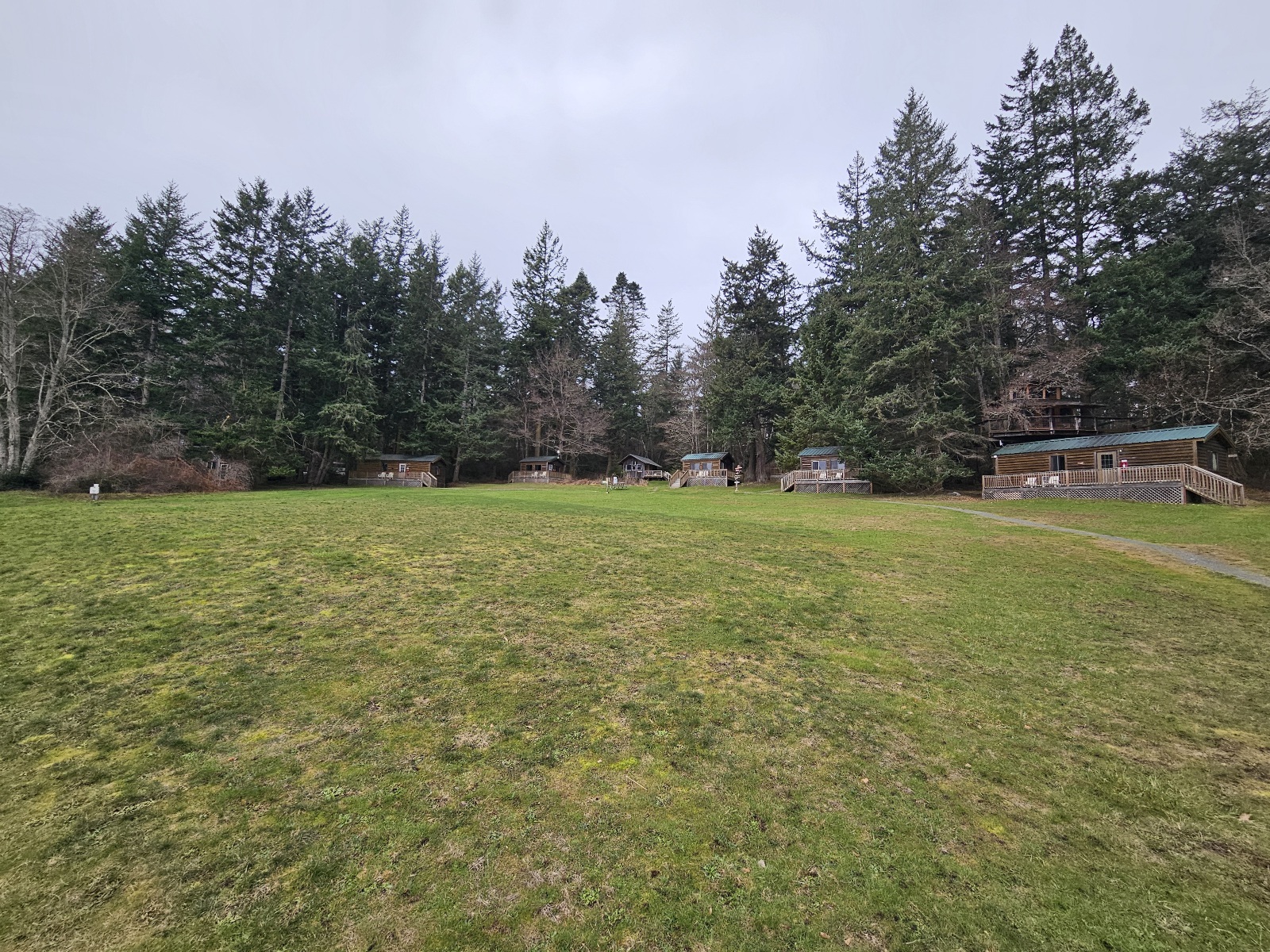
upper field cabins
where prime dome will be
sunset view
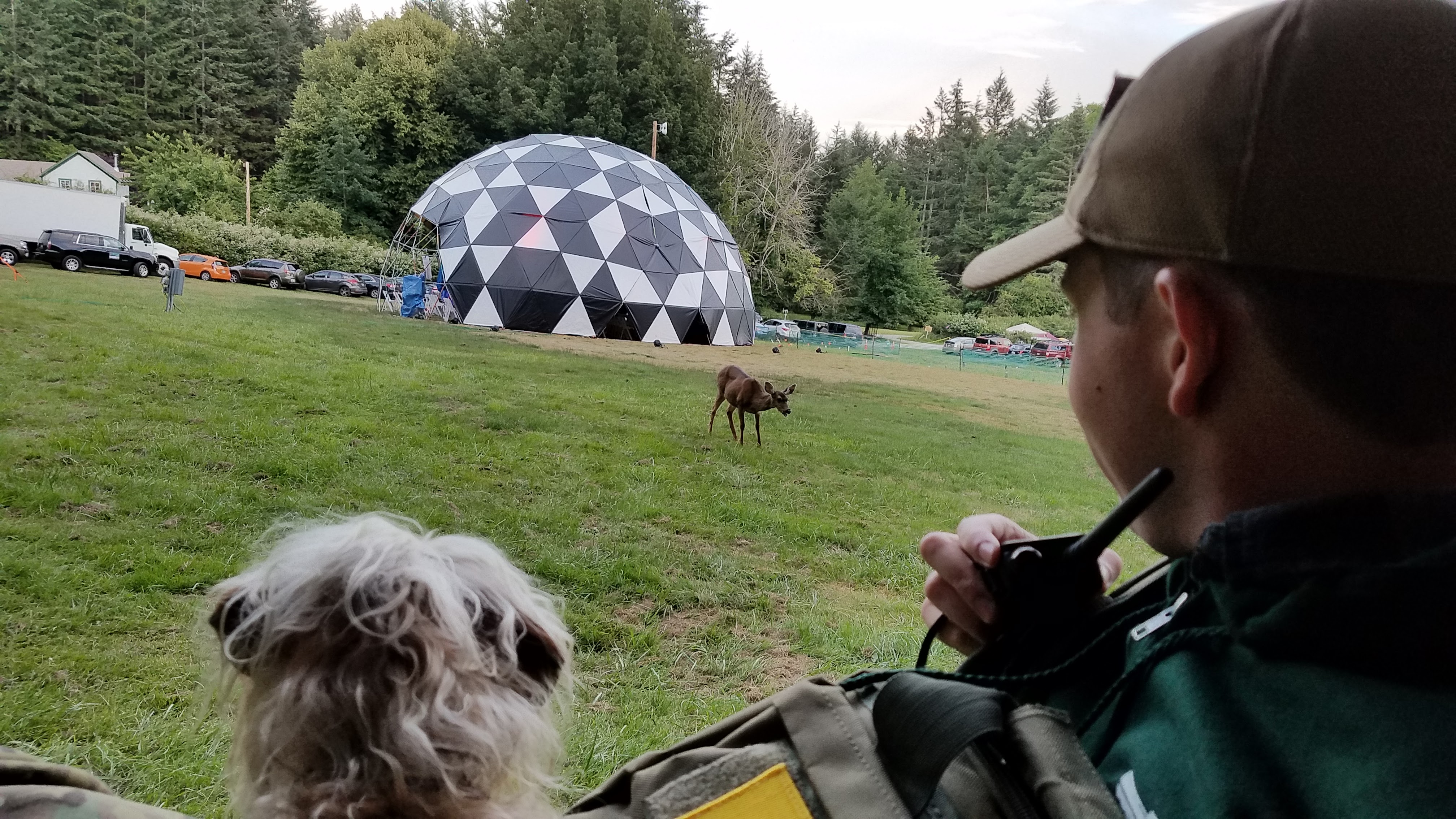
where the deer like to feed
view from the treehouse
view from Ada's Cafe
Homestead Rd, picnic sites, upper parking lot, garages


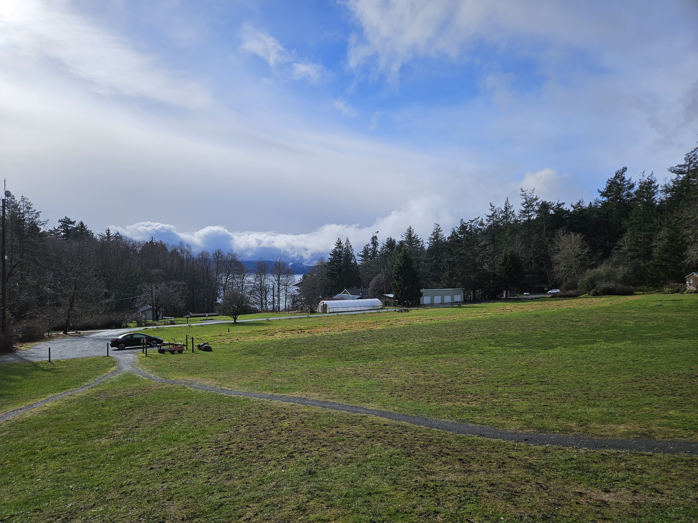
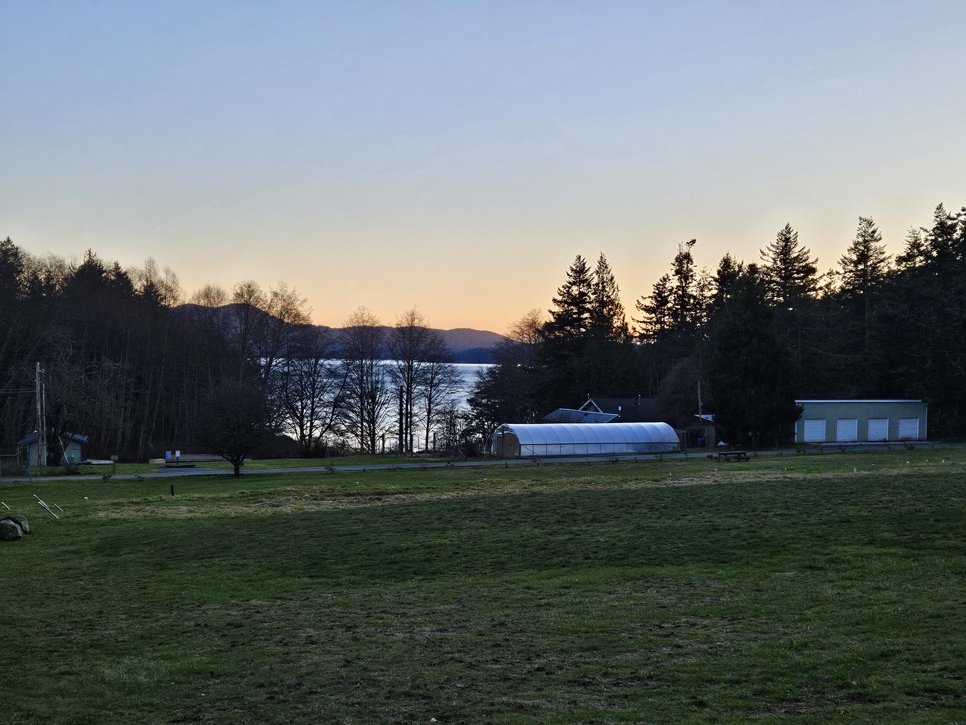
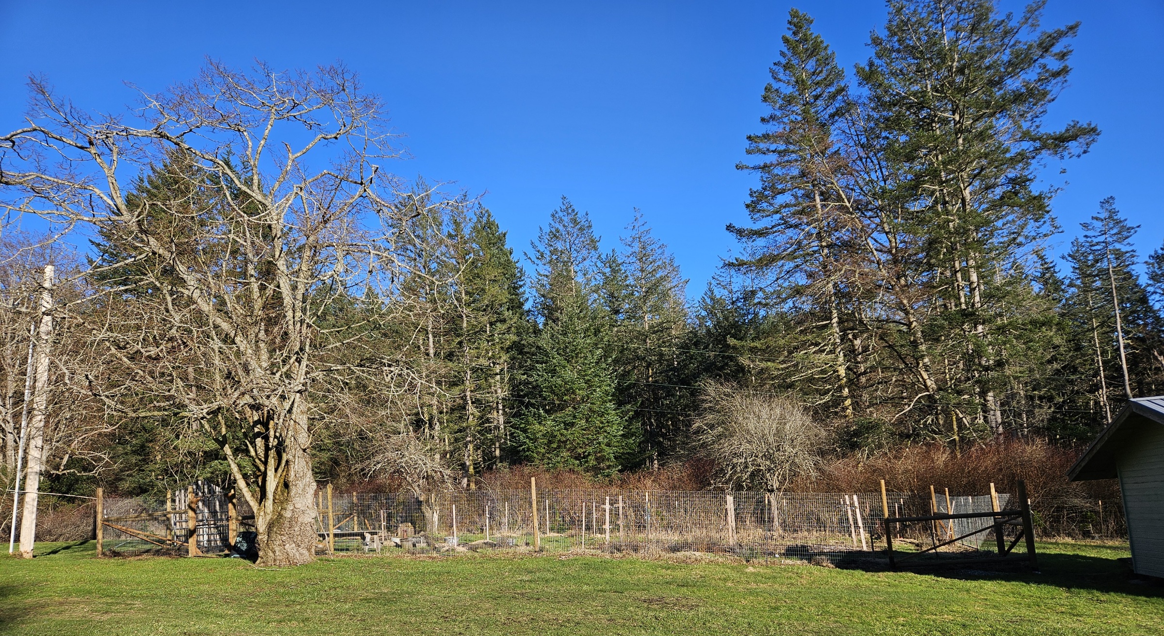
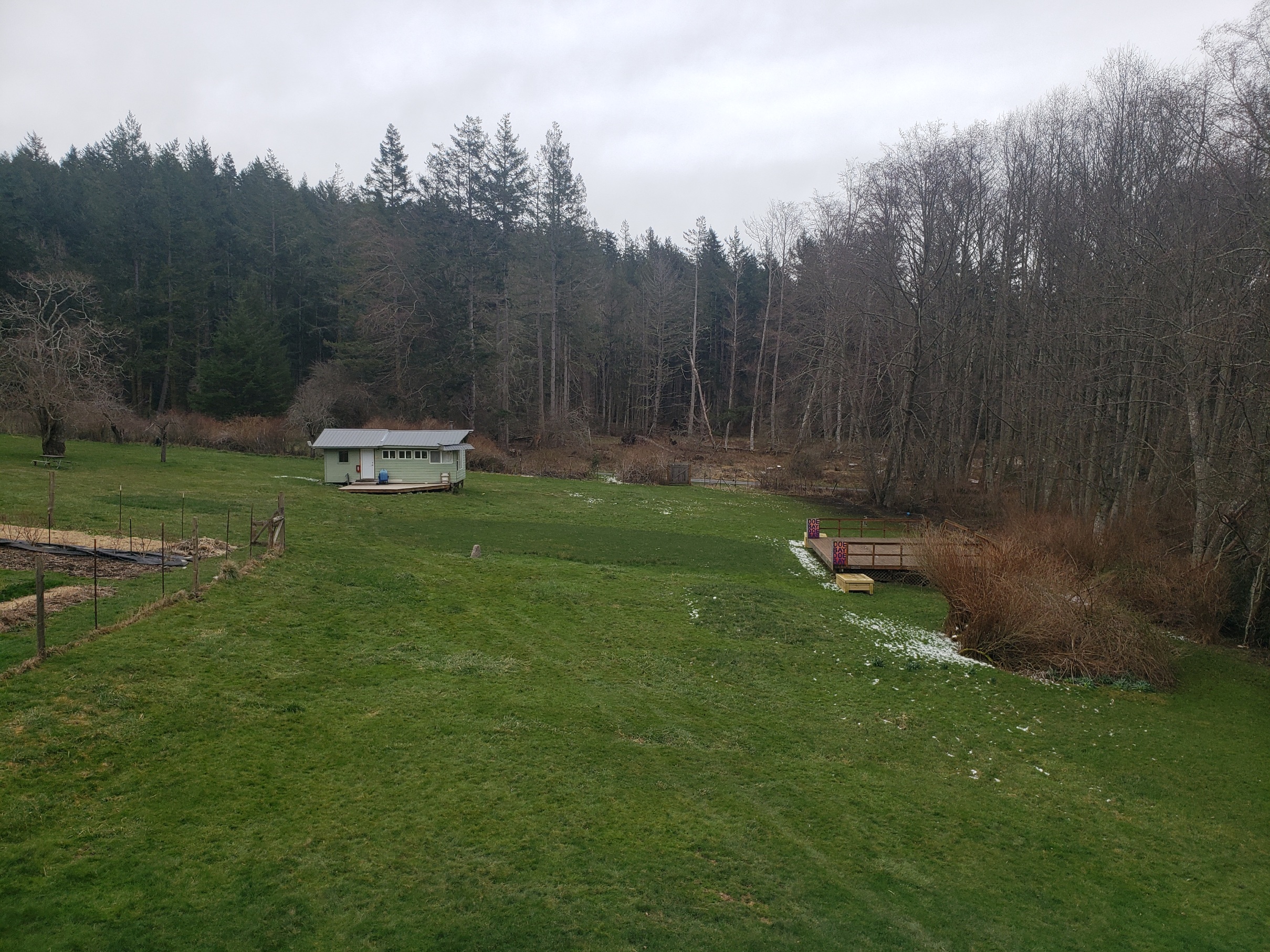
- orchard field
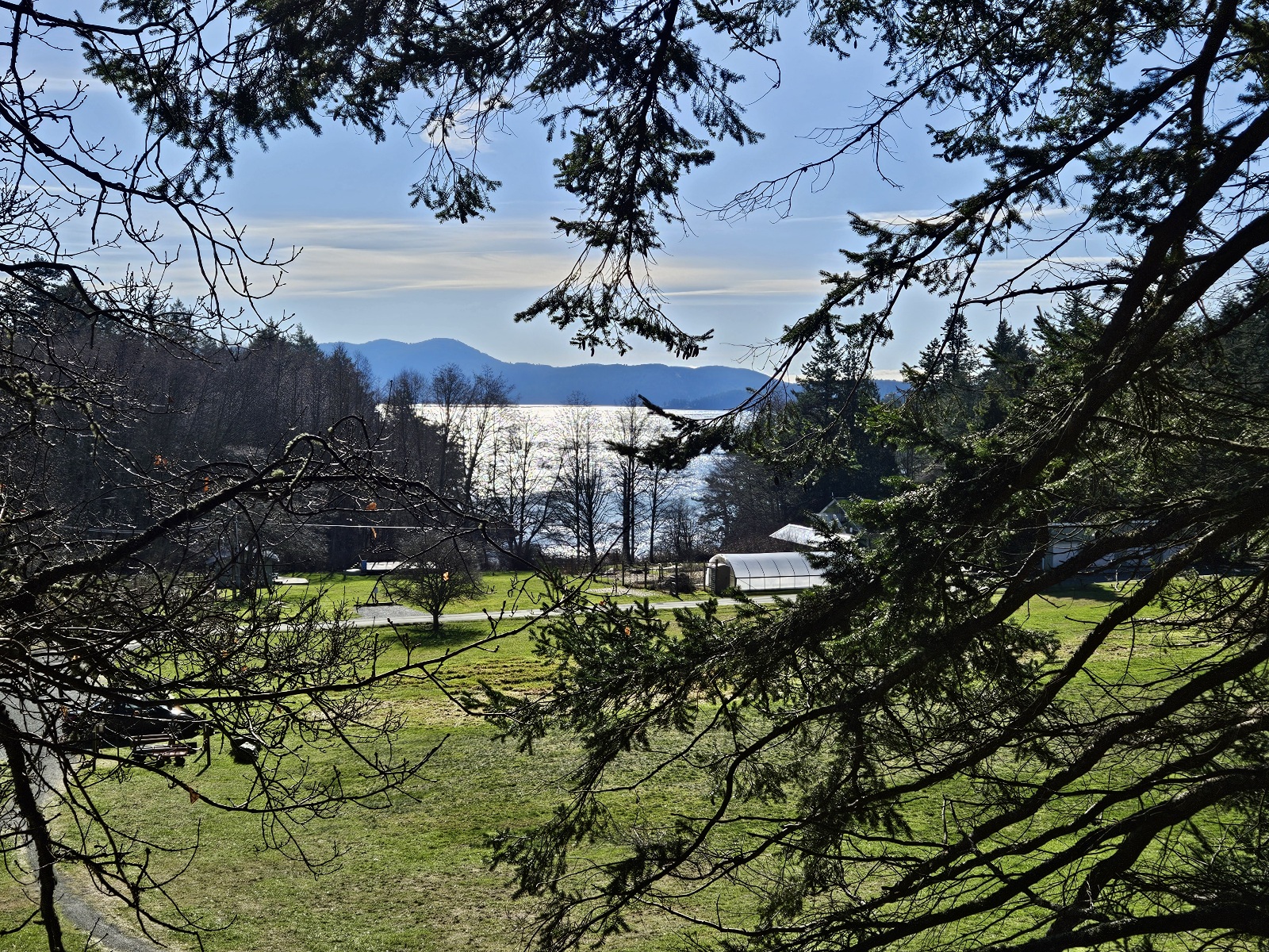
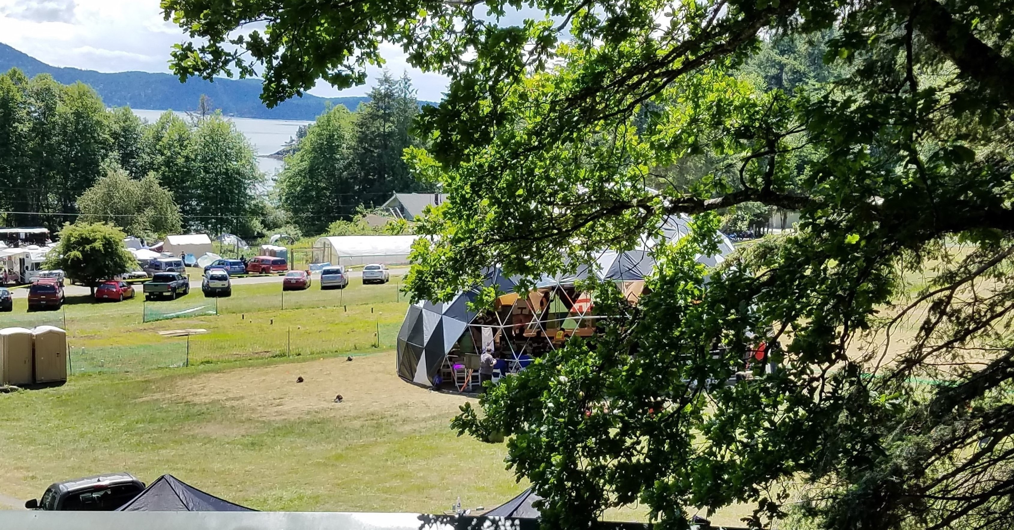
Holt's Corner, villages and open camping area, maker stage
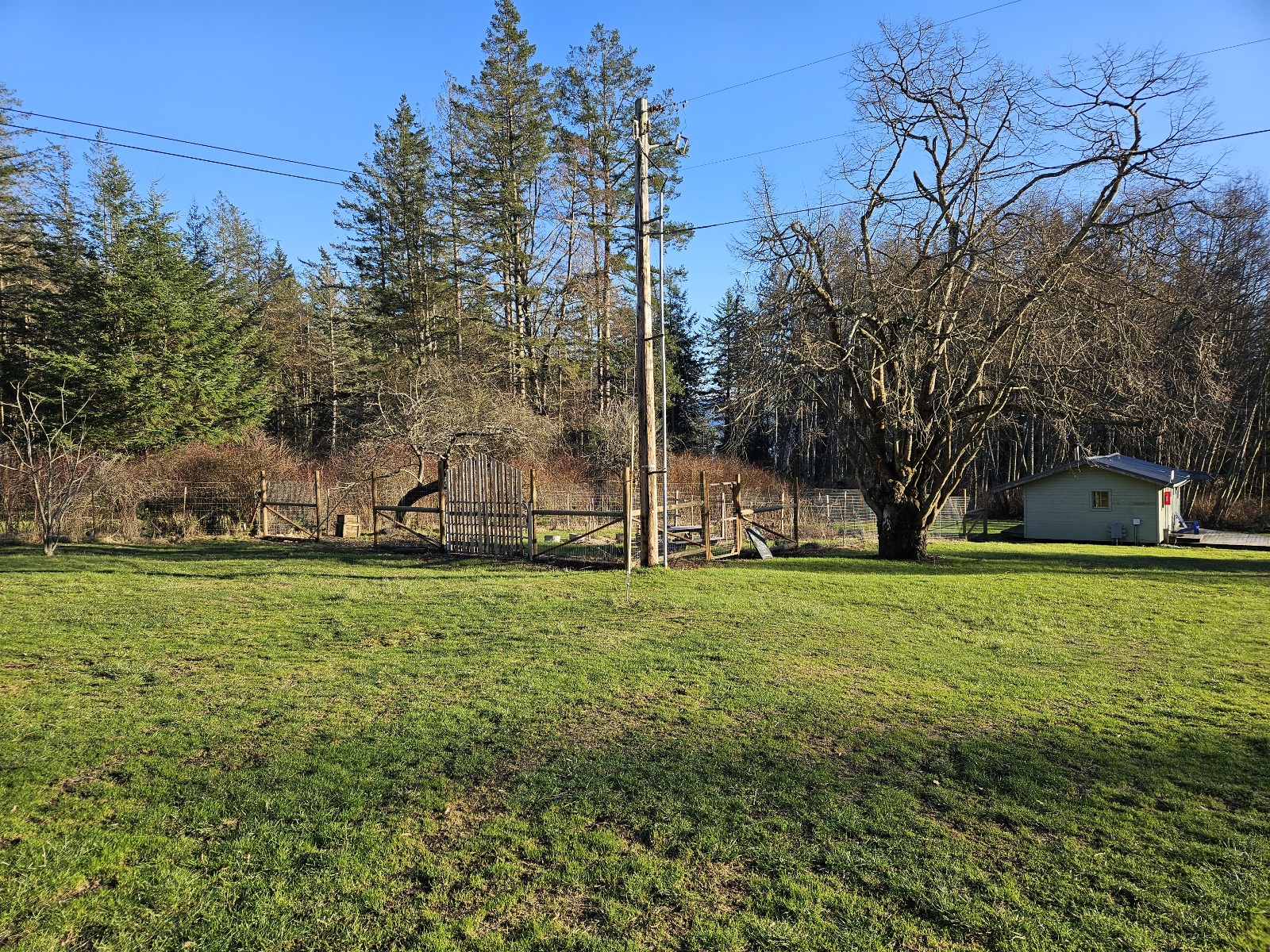
orchard and Garden Spot
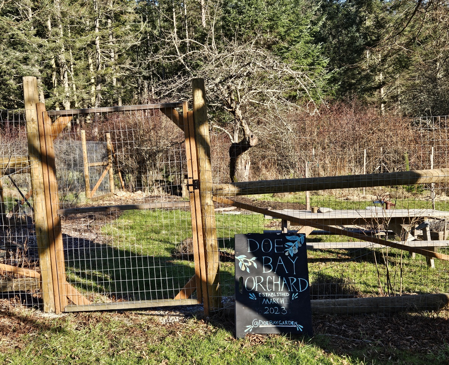
2023 new orchard
Doe Bay Orchard


- garden field
view from the garden
villages and open camping area, Garden Spot, maker stage
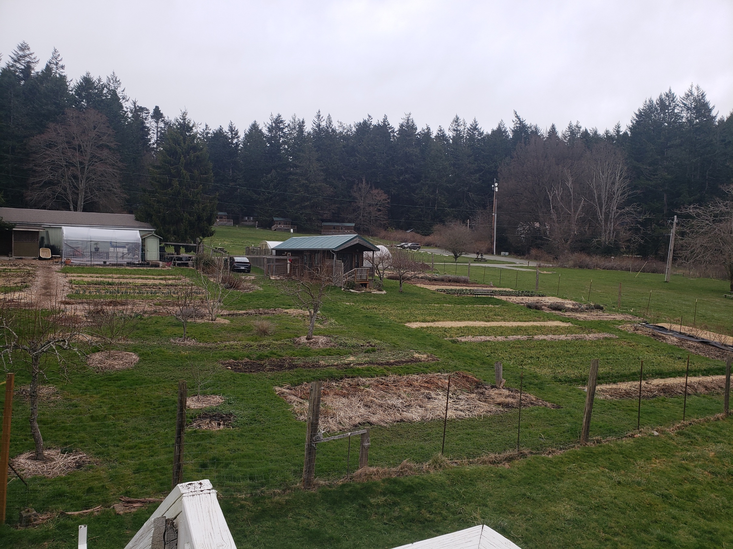
Doe Bay Garden, Eden, Homestead Rd
Good morning Kevin!


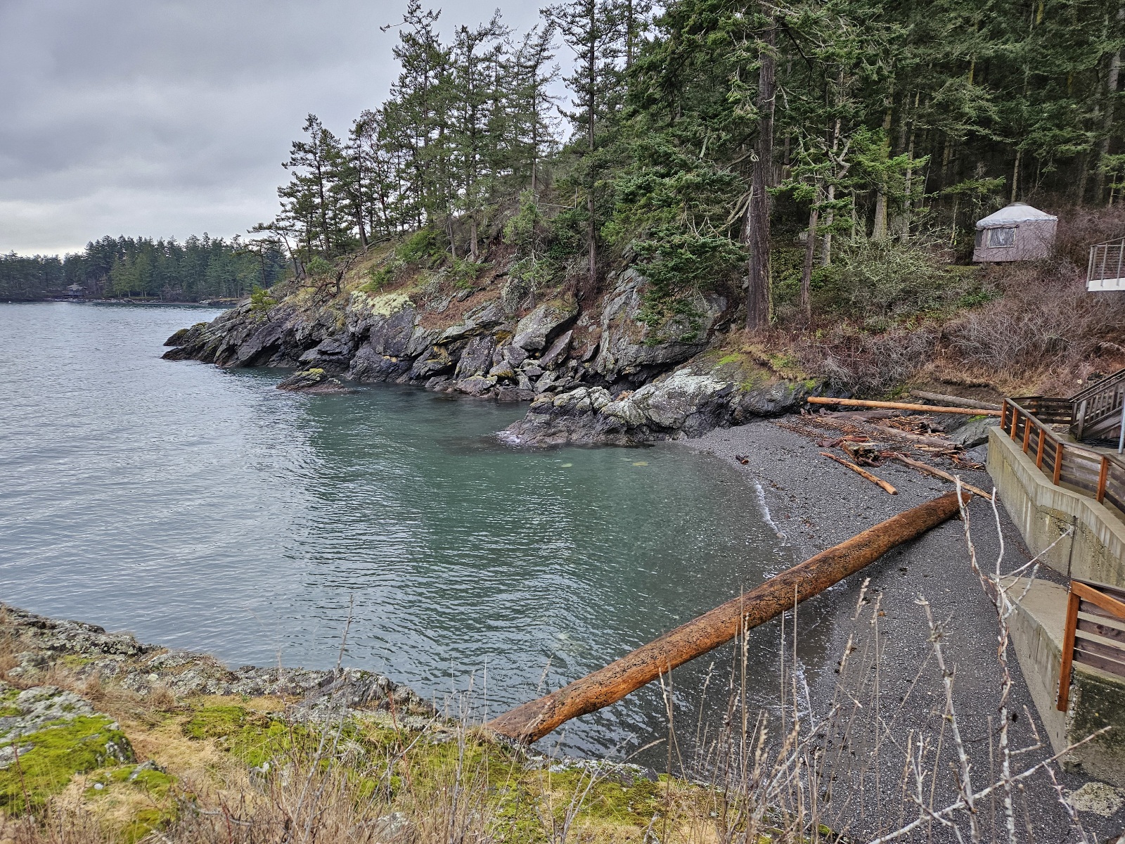
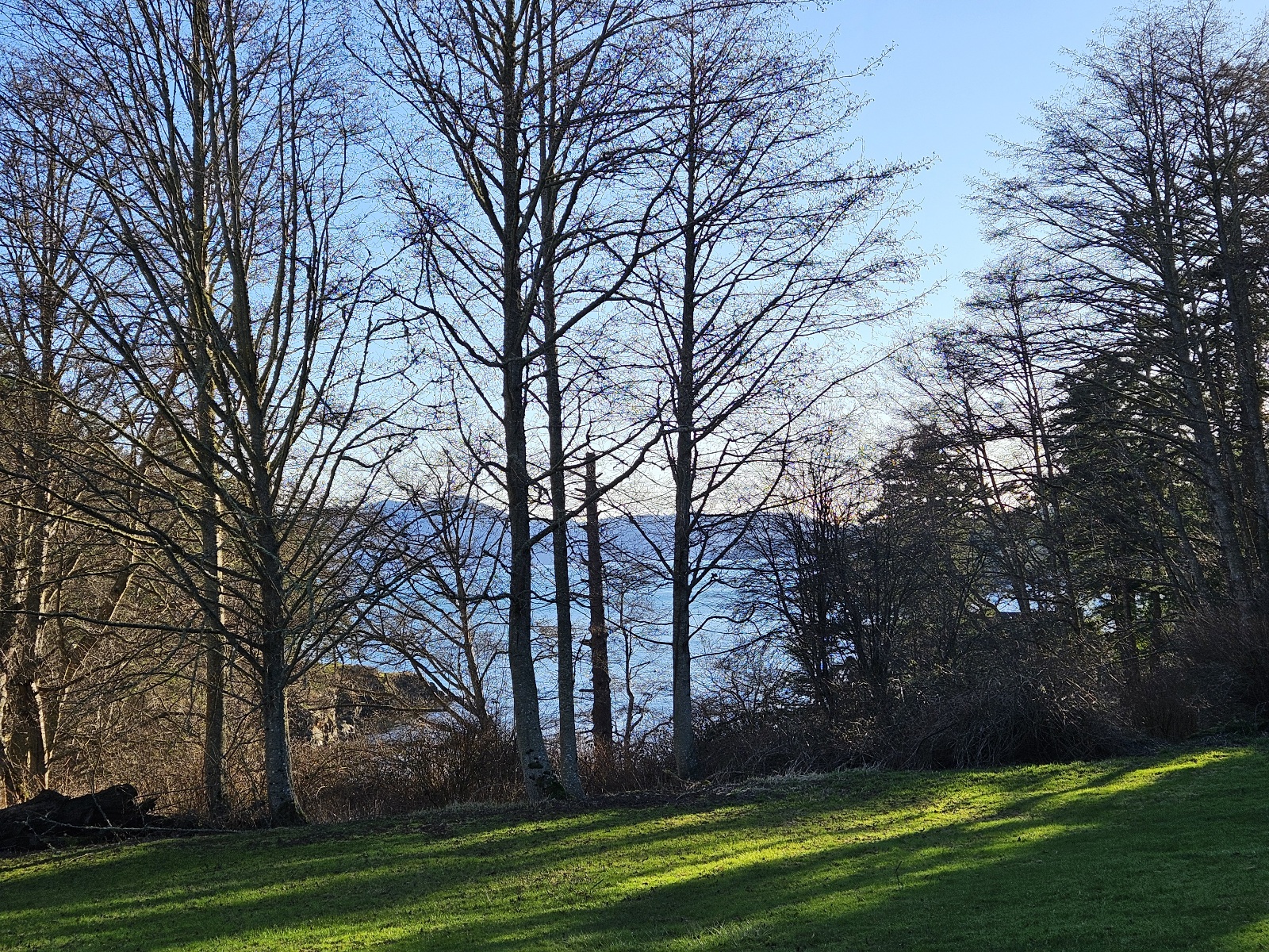
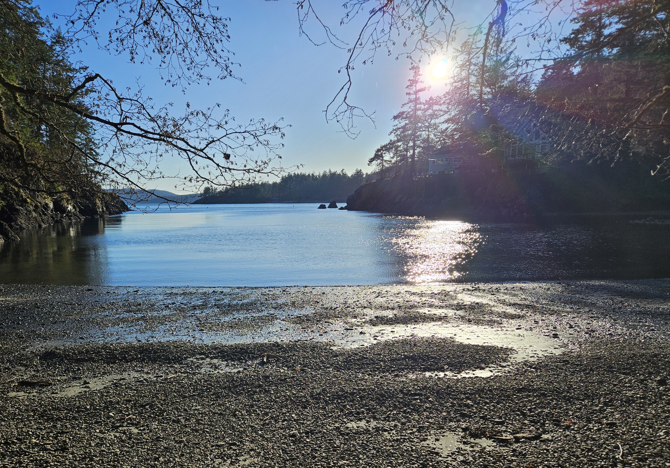
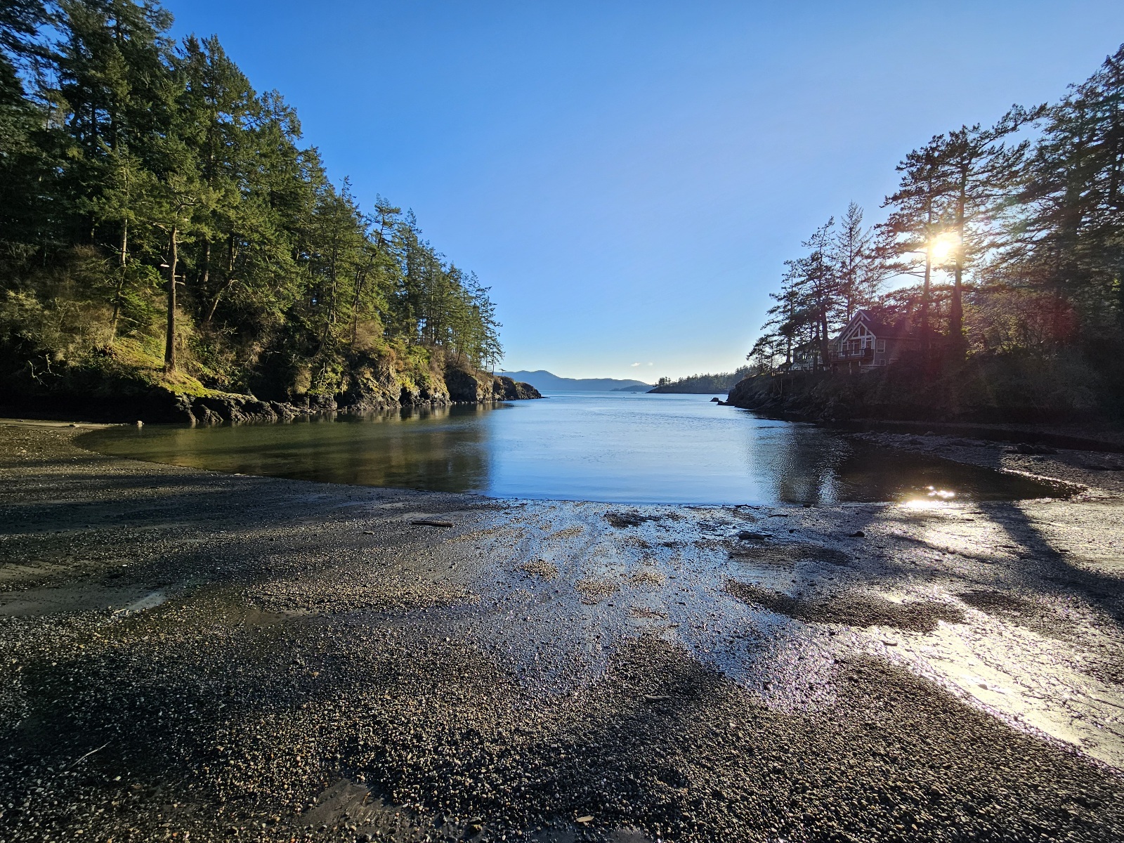
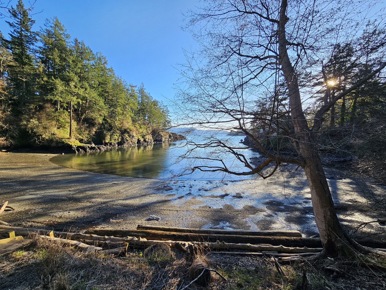
Nature District: The Point, Otter Cove, Beach
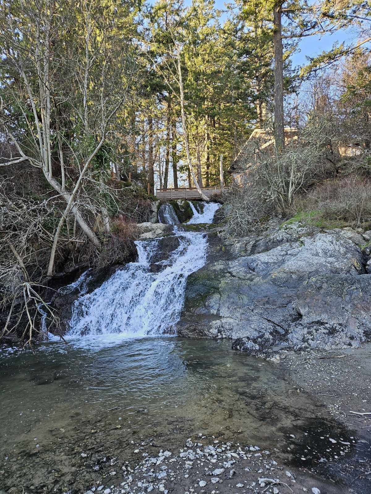
- Point trail
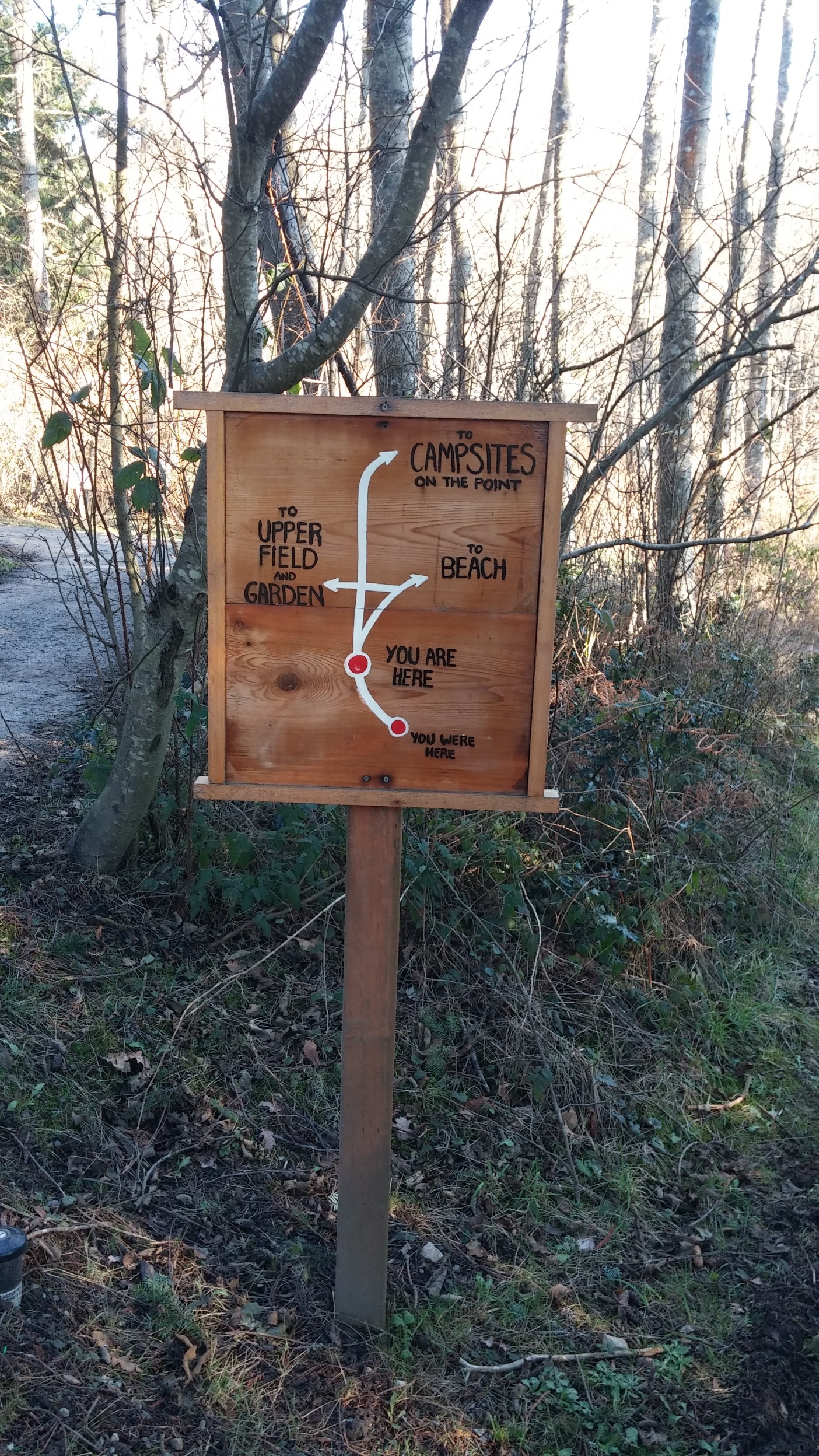
which way to go?
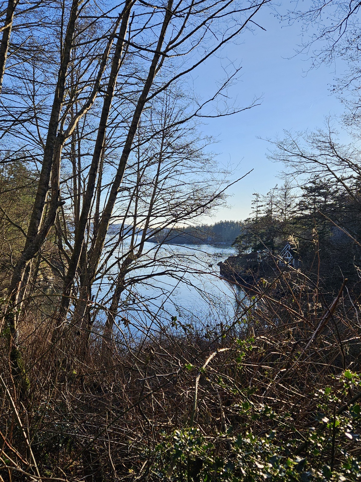
view of Otter Cove from trail
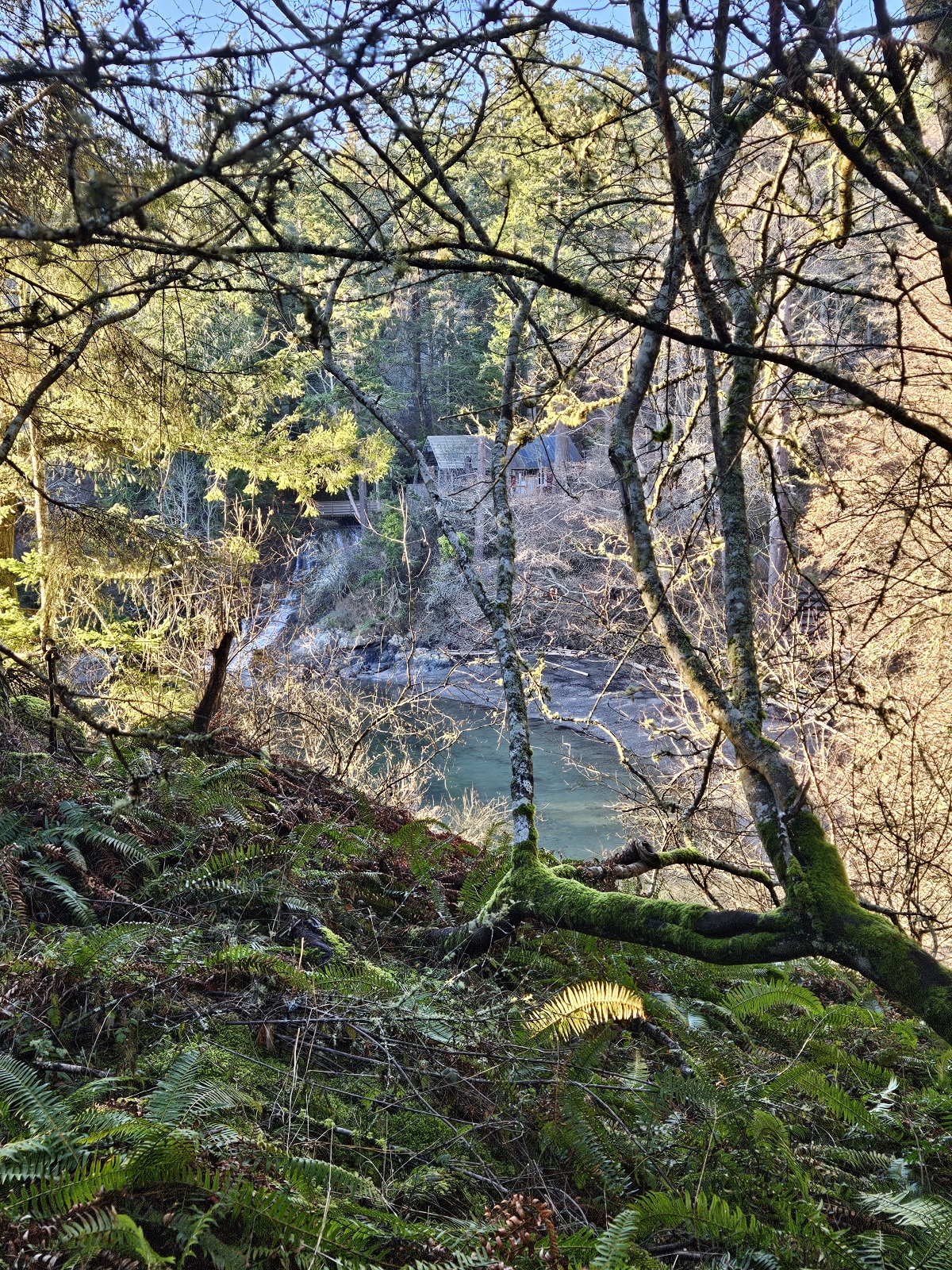
view across Otter Cove to the waterfall from trail
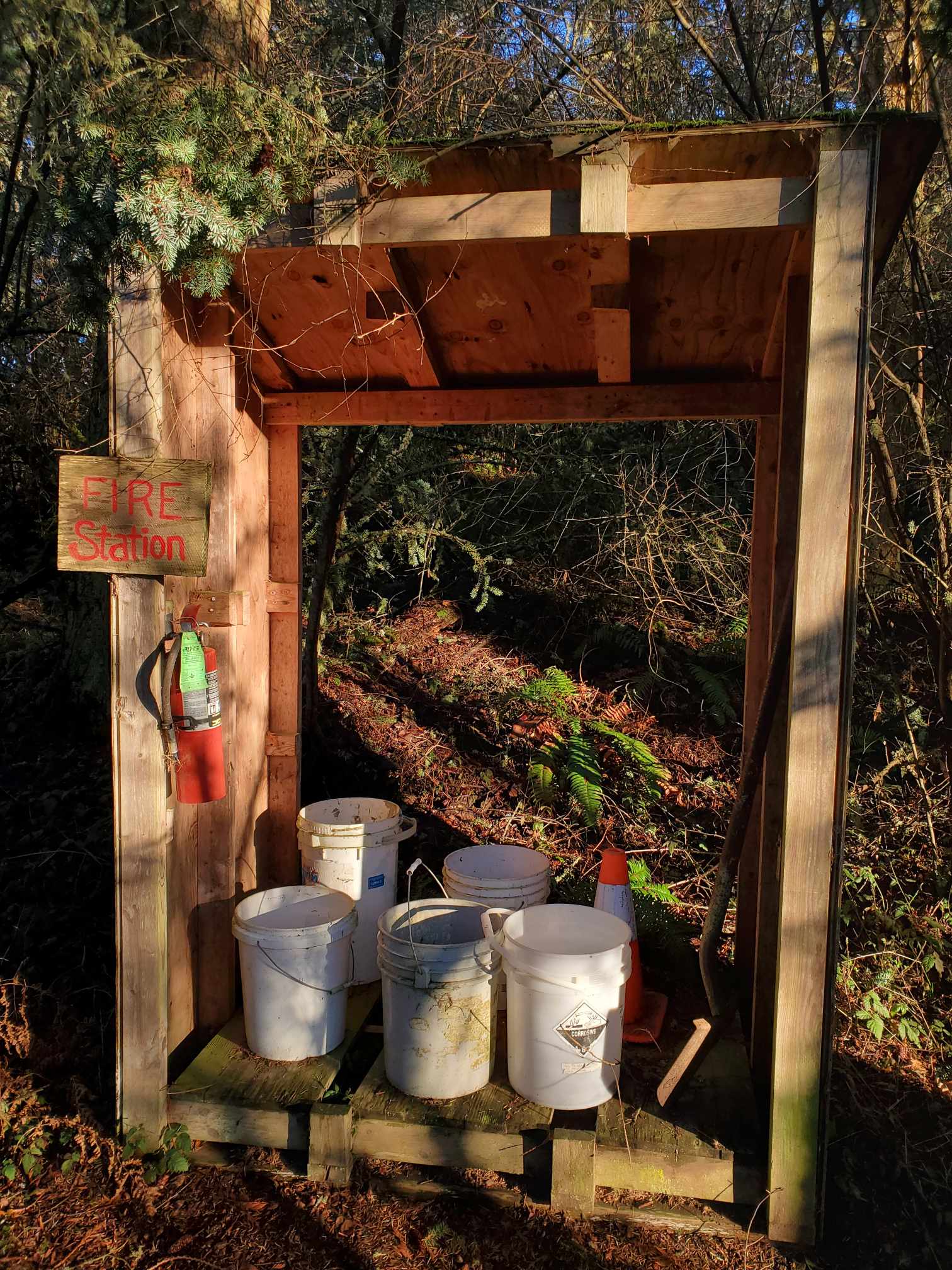
fire station along trail to the point


- The Point
keep a look out for some seals below
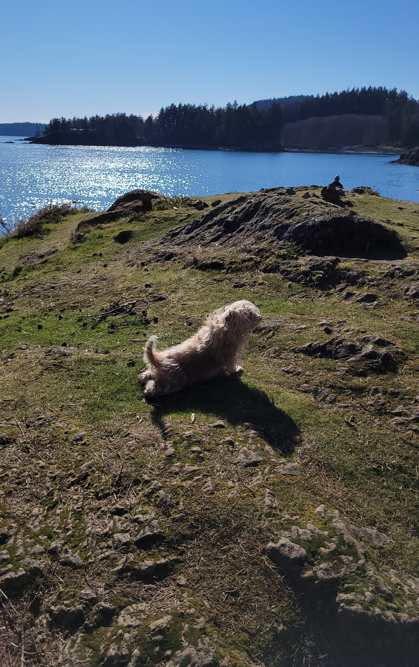
Whiskey says this is a good place to do yoga.
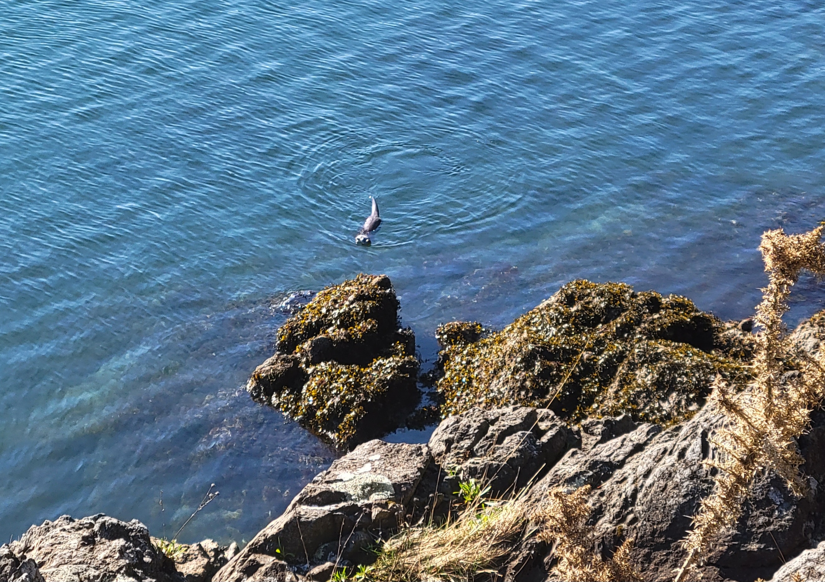
You might not see an otter in Otter Cove, but you may spot a feeding seal from Seal Landing!


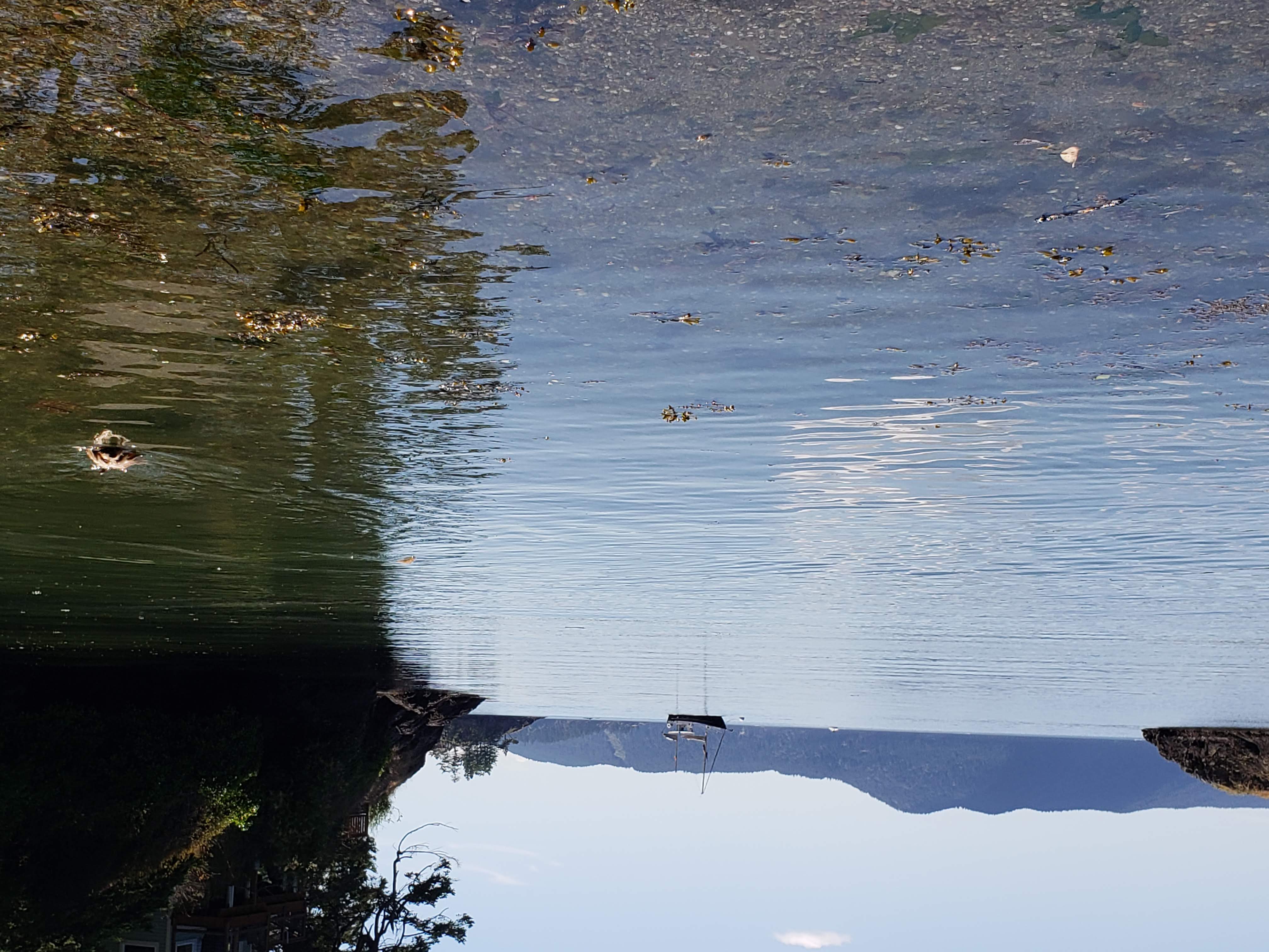
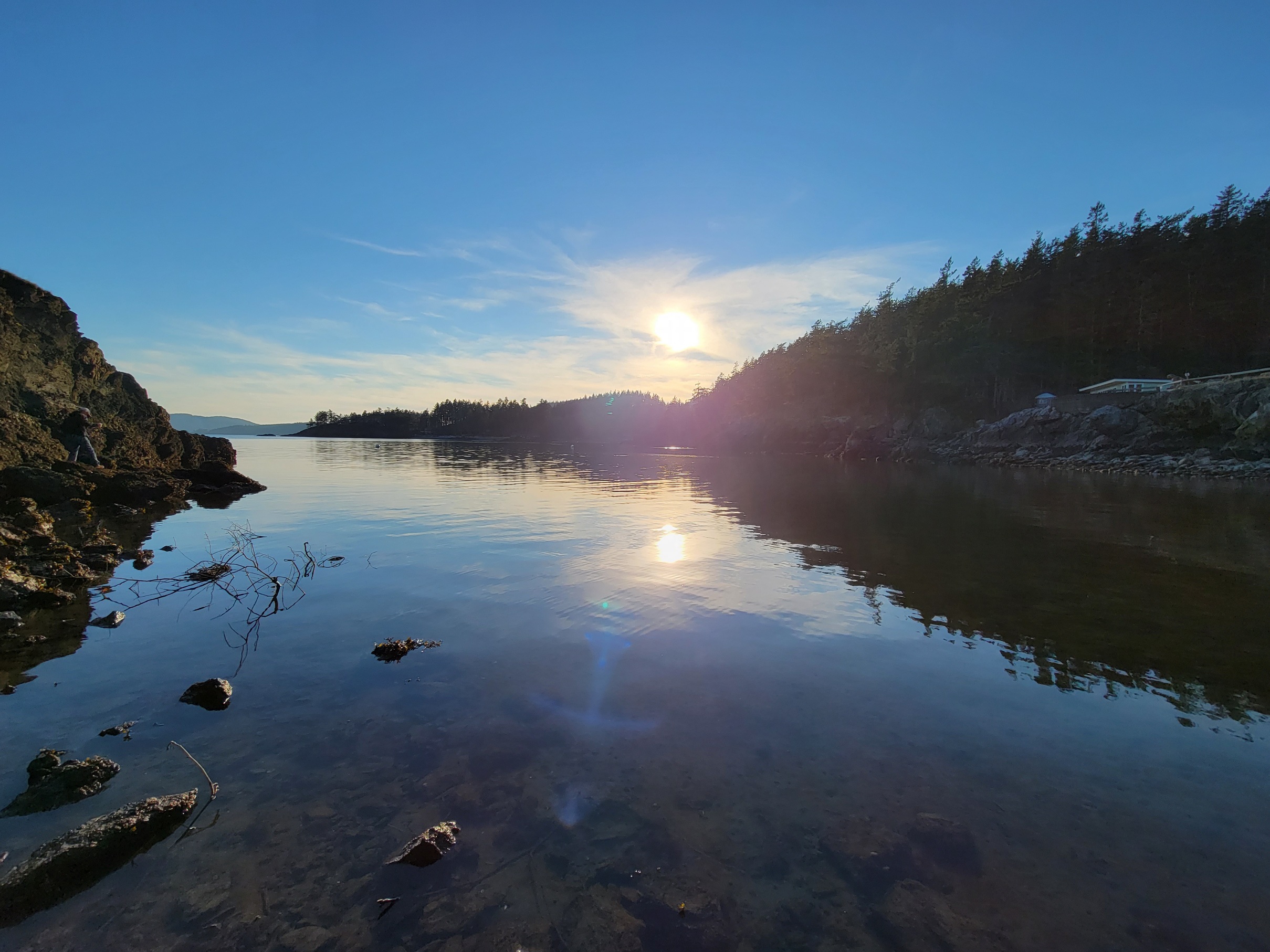
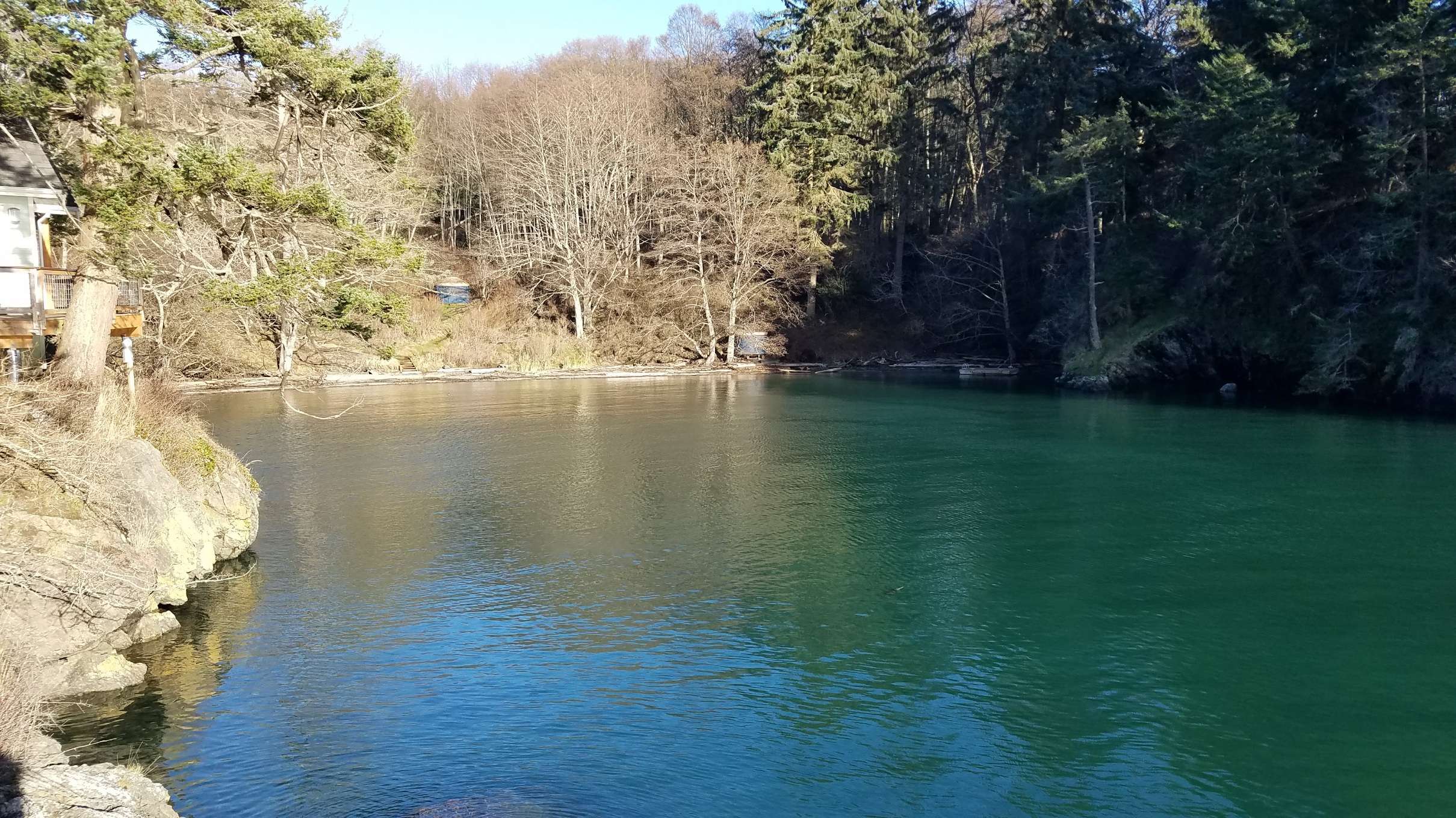
- Otter Cove
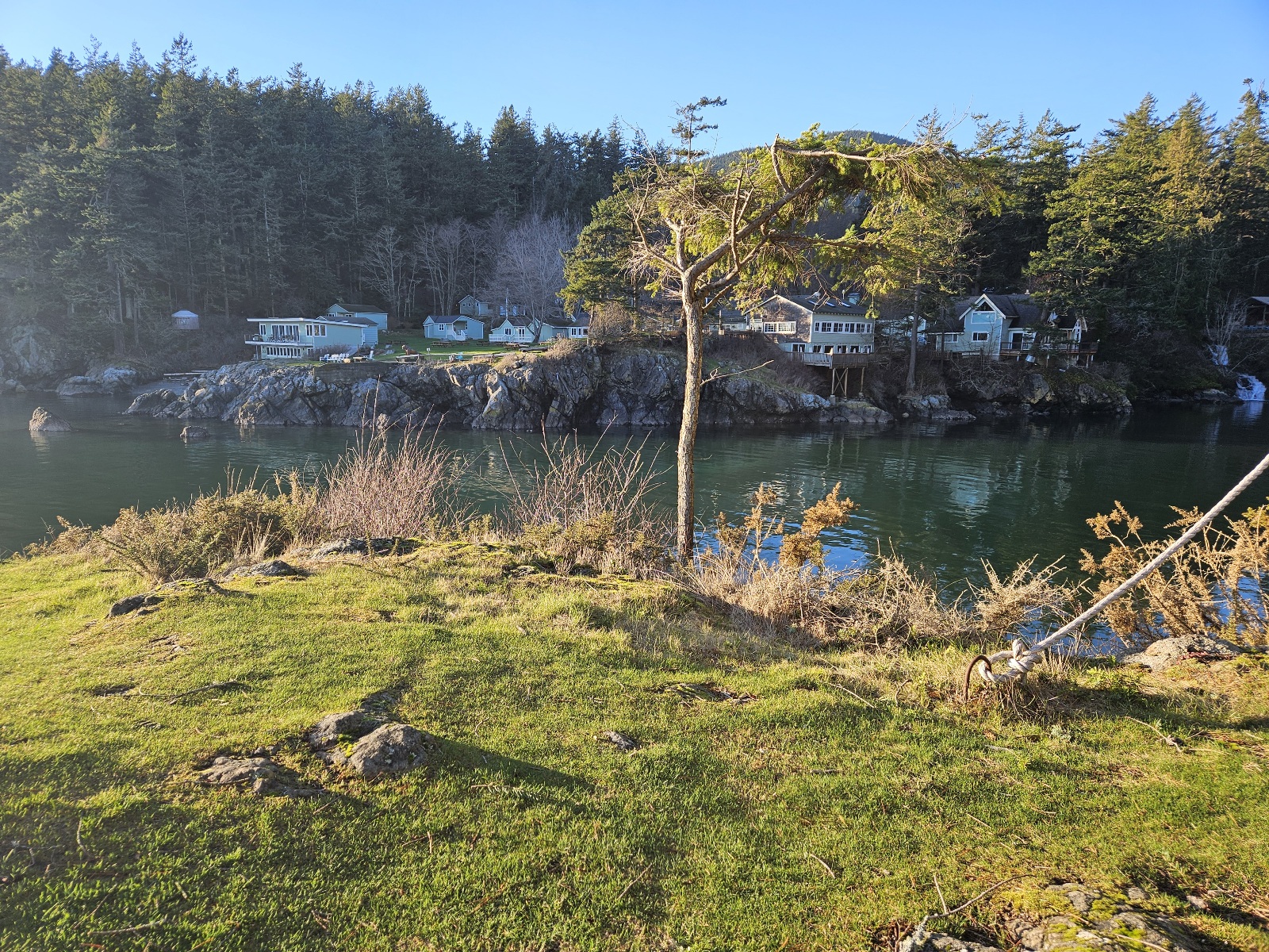
view across Otter Cove to Doe Bay store and boathouse
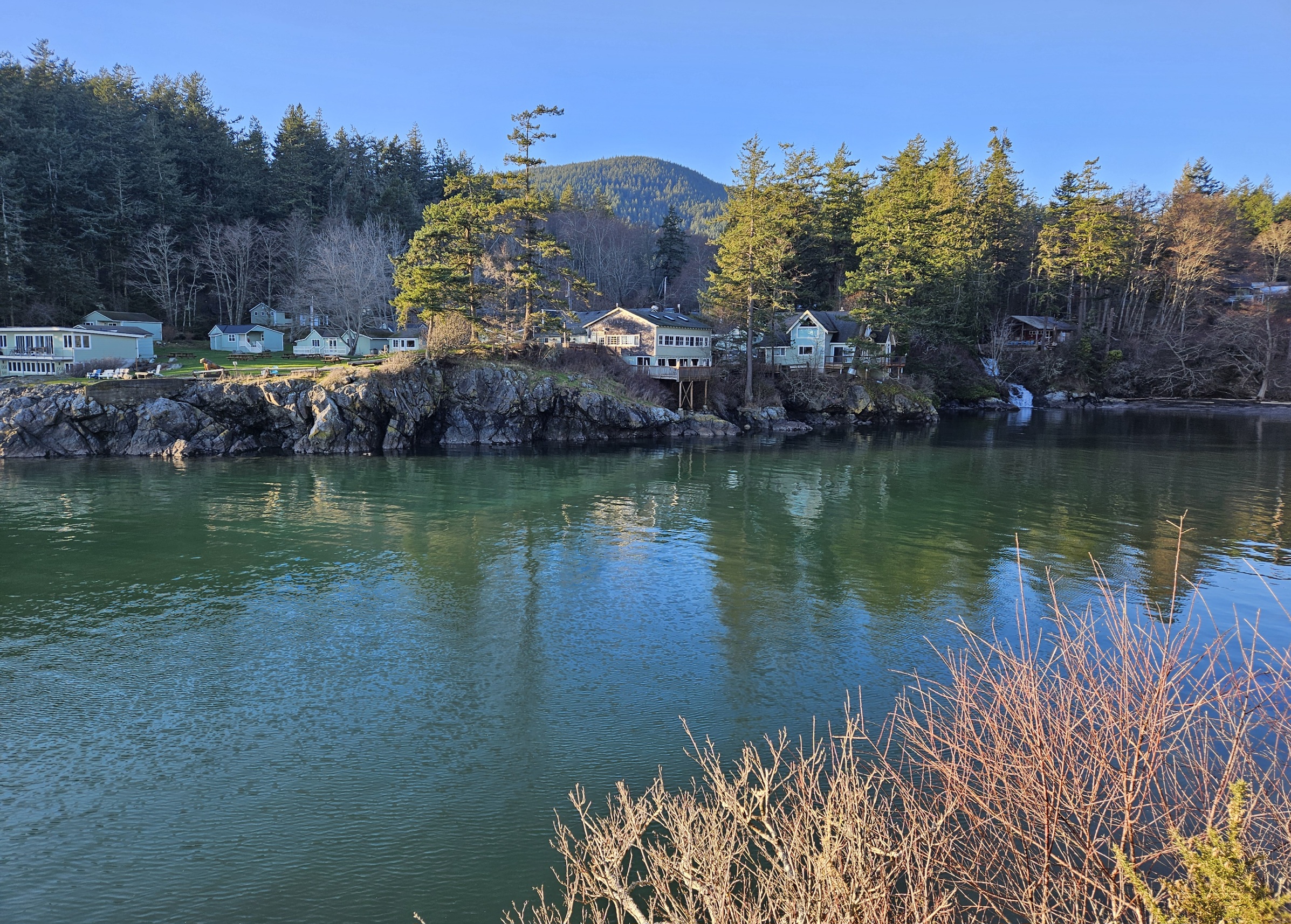
Otter Cove at high tide
Otter Cove


- Otter Lodge balcony

Otter Lodge view
Otter Cove beach


- Otter Cove Beach
Whiskey recommends going for a swim at the beach


- tide pools
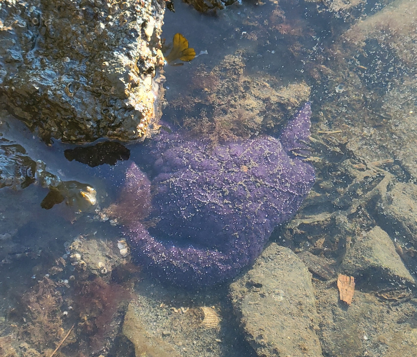
purple seastar in the tidepools
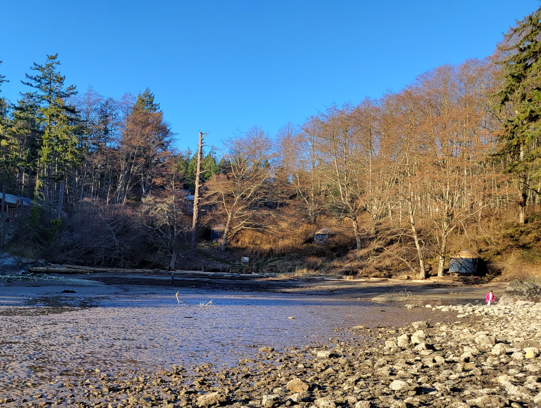
Otter Cove at low tide; nature district in the distance
low tide


Sites
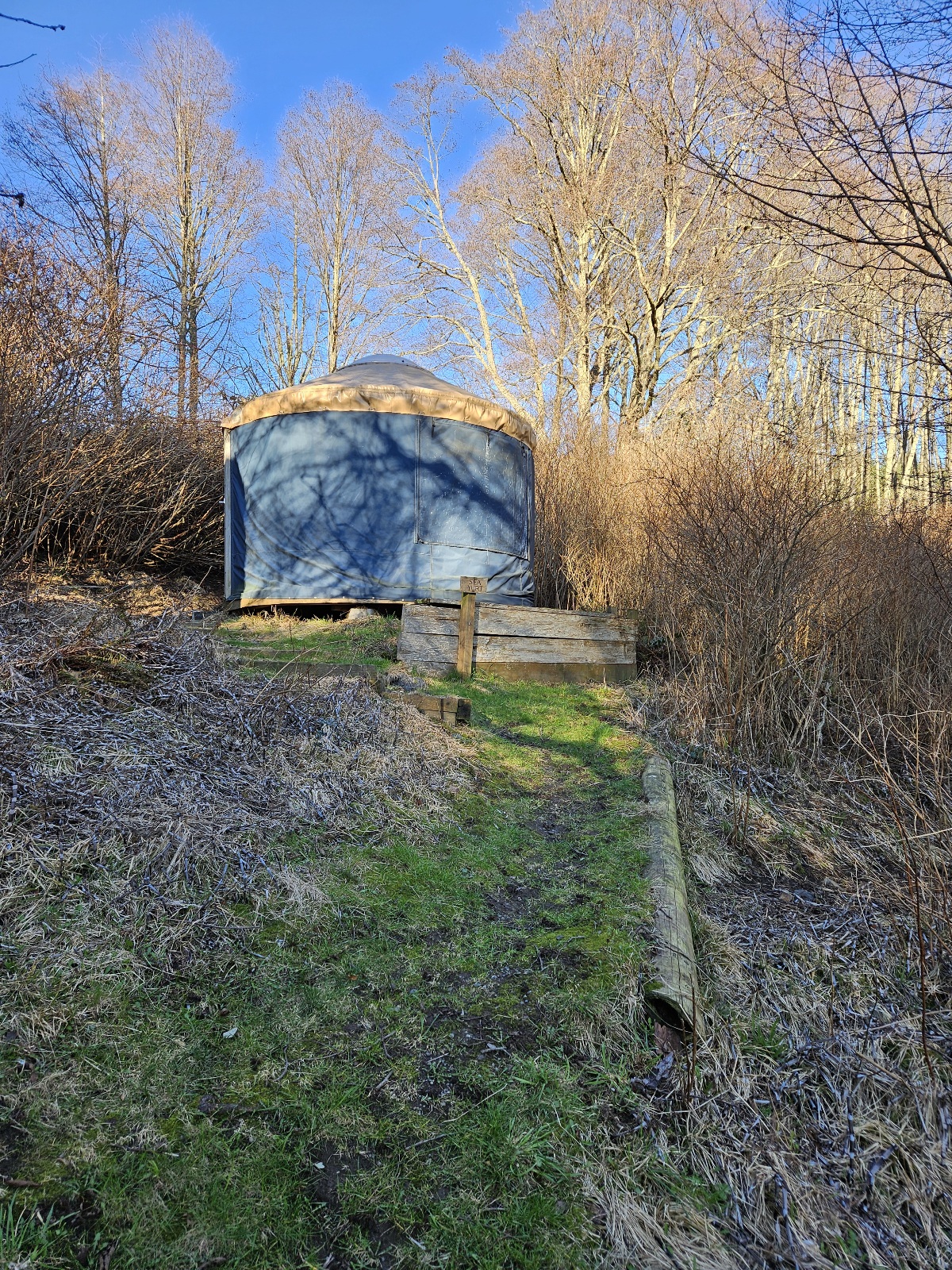
- beach yurts
Sea yurt
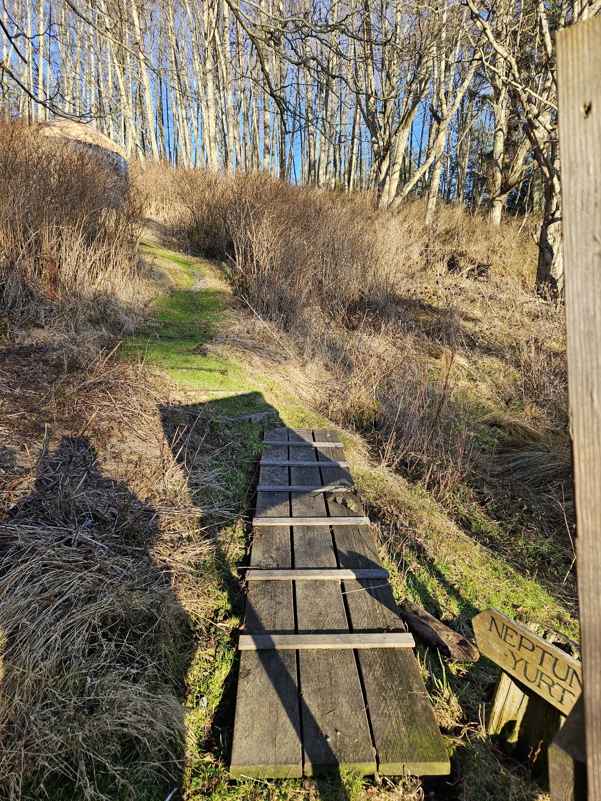
Neptune yurt is up there
Beach yurt
view of Otter Cove beach and Sea, Neptune, & Beach Yurts from Otter Lodge balcony
Otter Cove beach at low tide with Sea, Neptune, & Beach Yurts


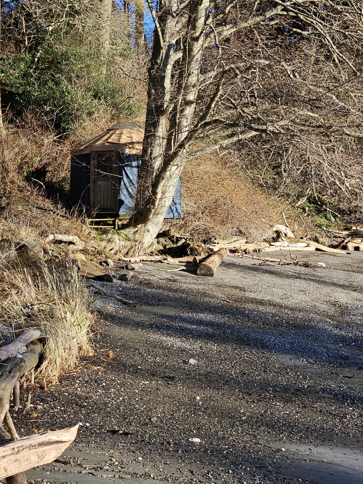
- point campsites / Nature District
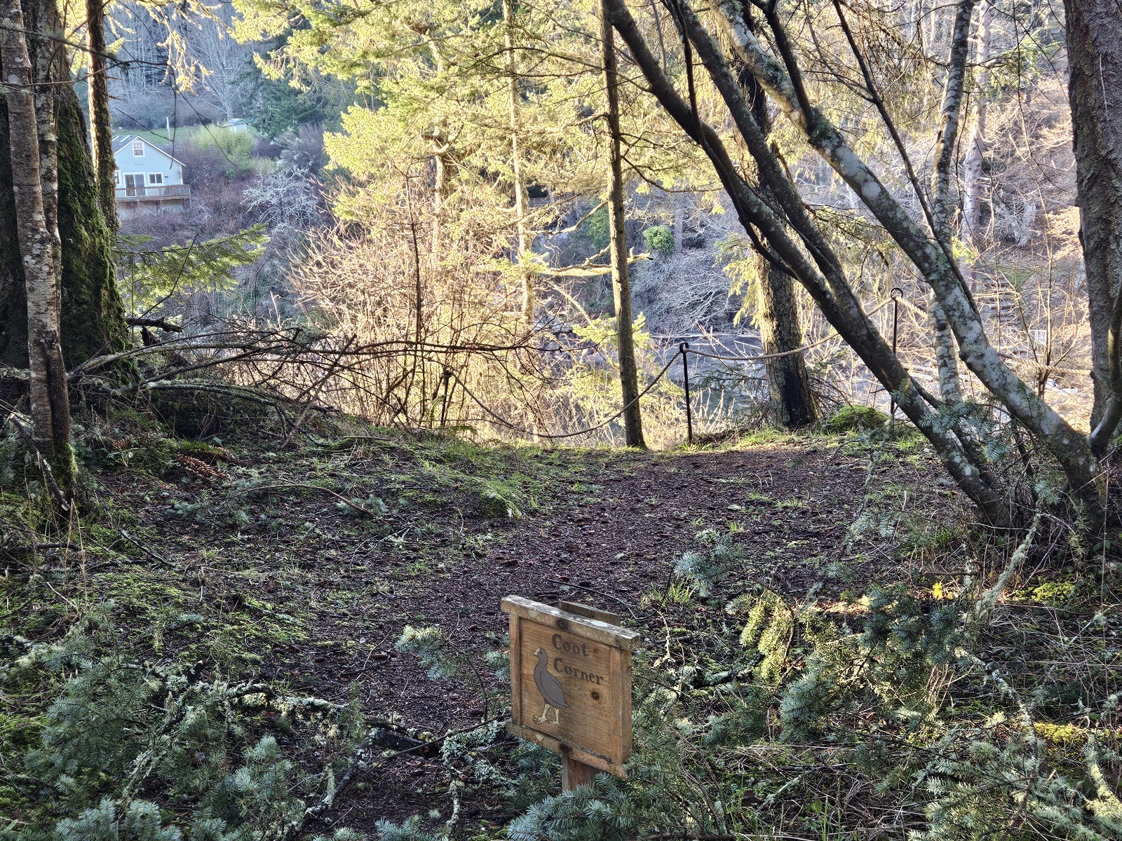
Coot Corner
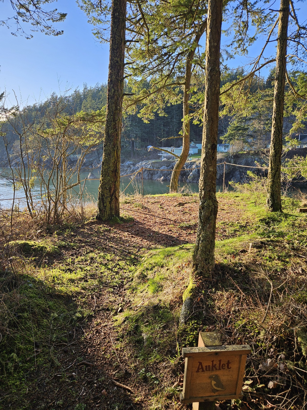
Auklet
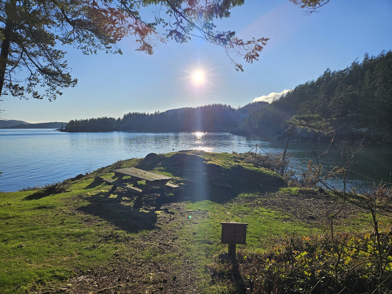
Seal Landing
Eagle's Nest
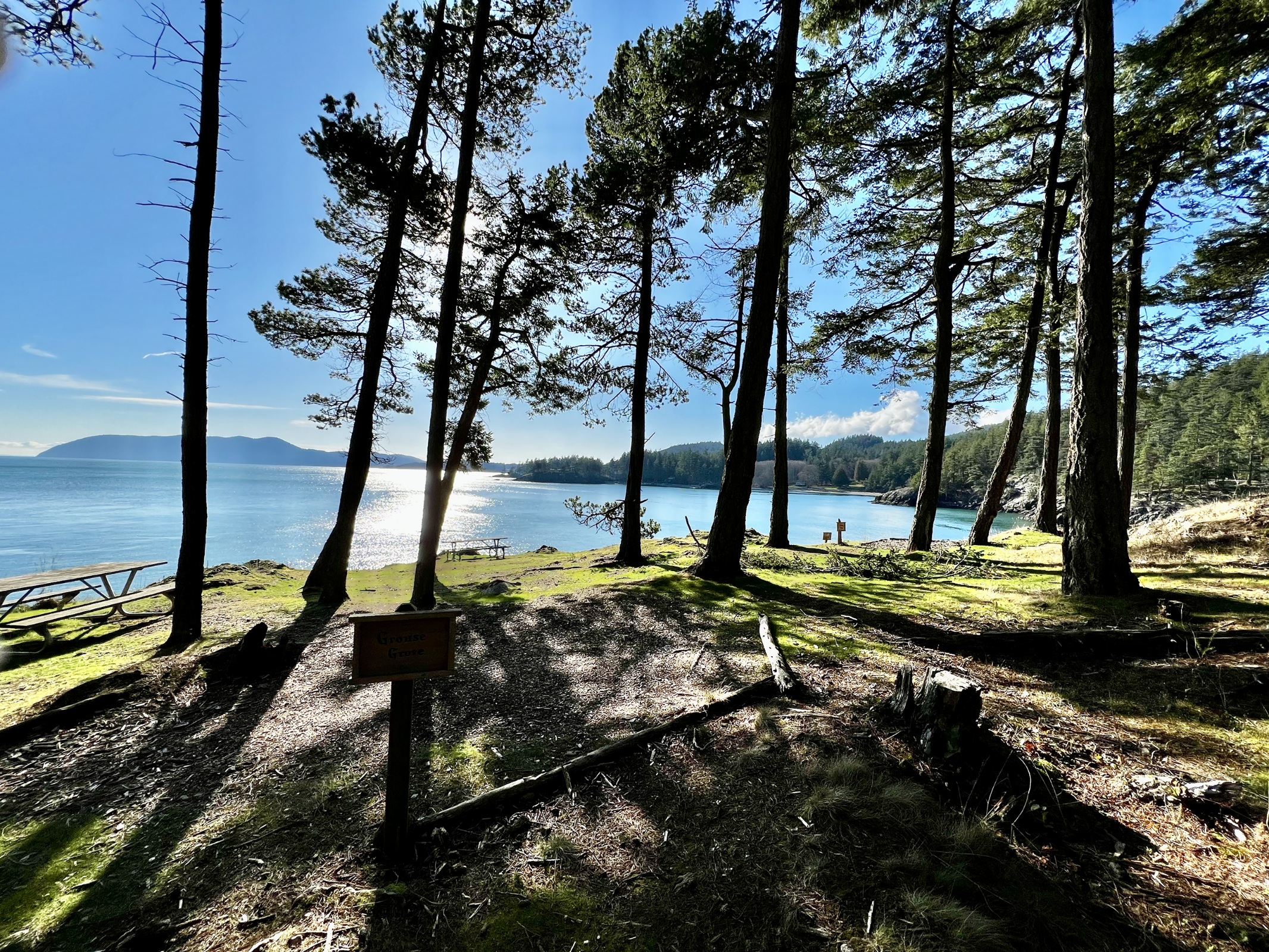
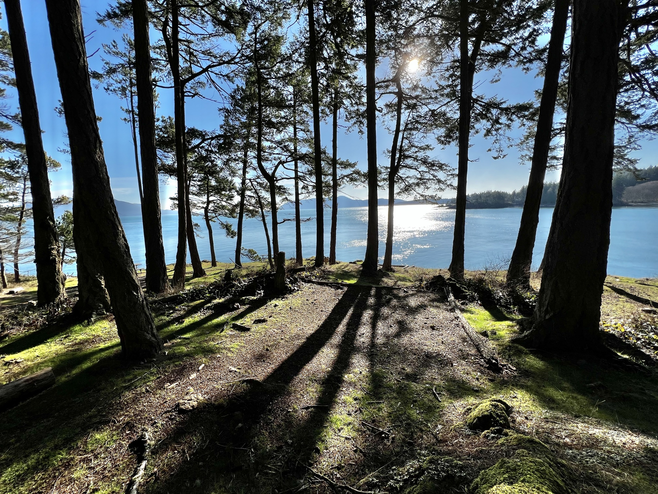
Grouse Grove
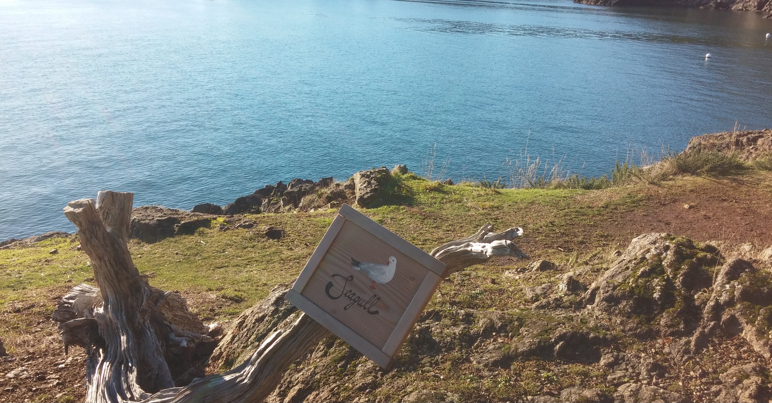
Seagull
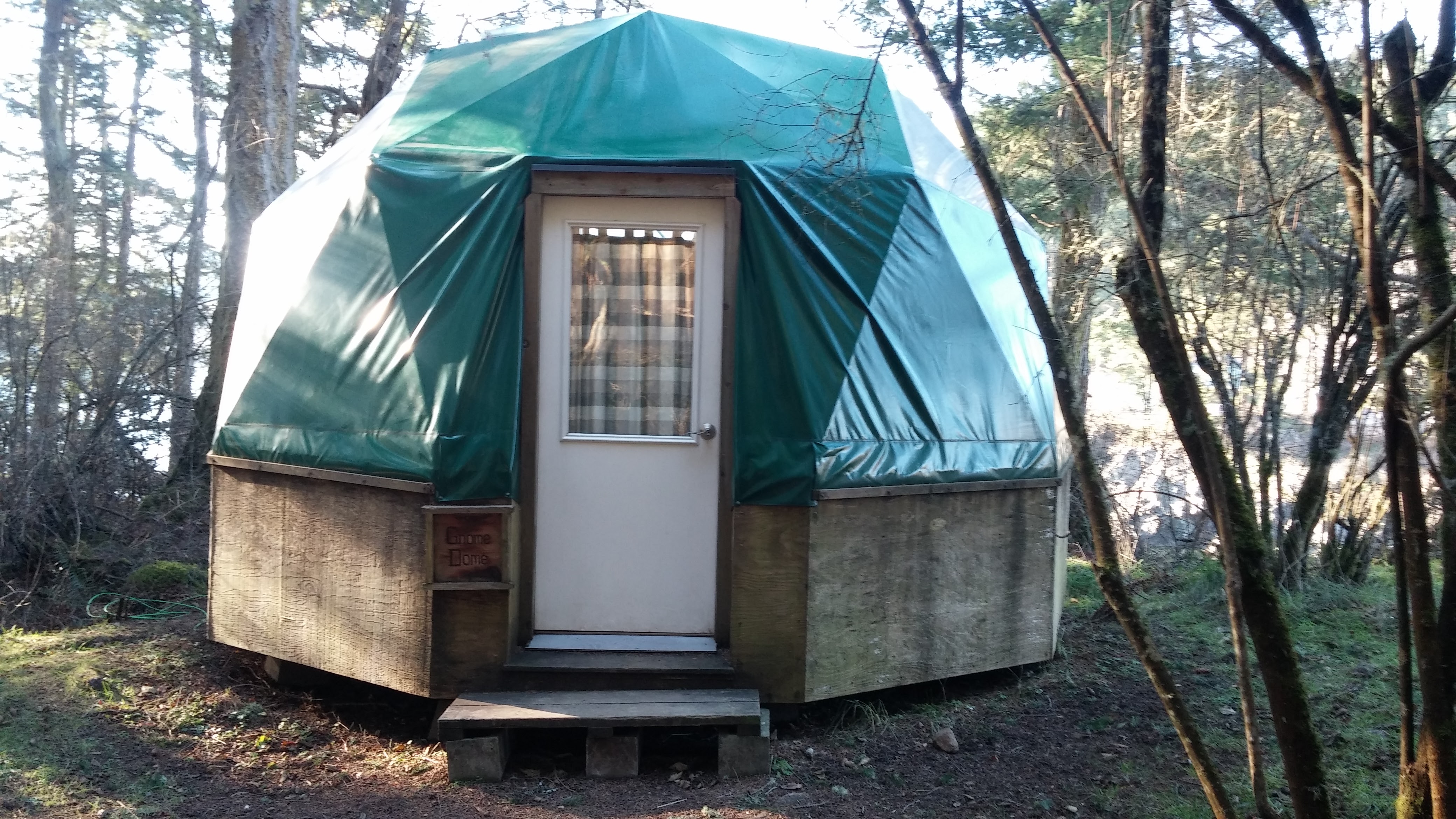
Gnome Dome


- Ganesh Way sites
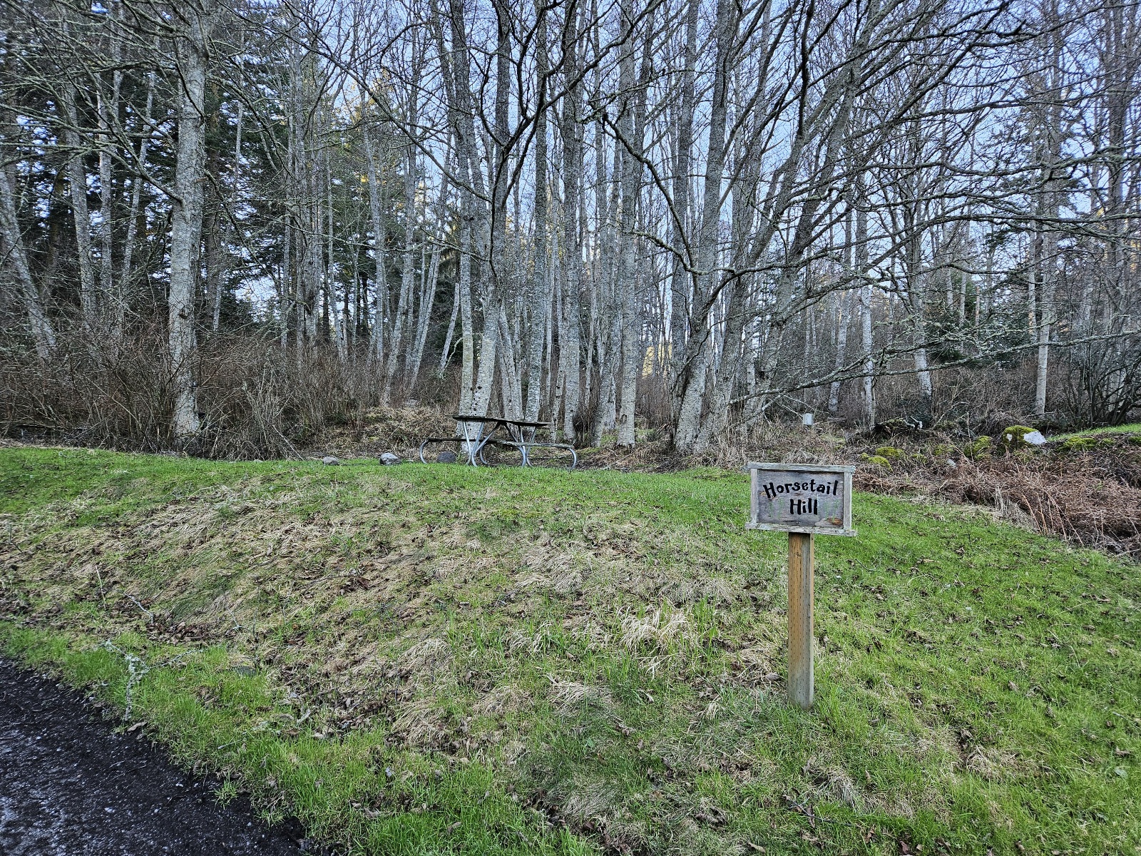
Horsetail Hill campsite
Caribou drive-in site
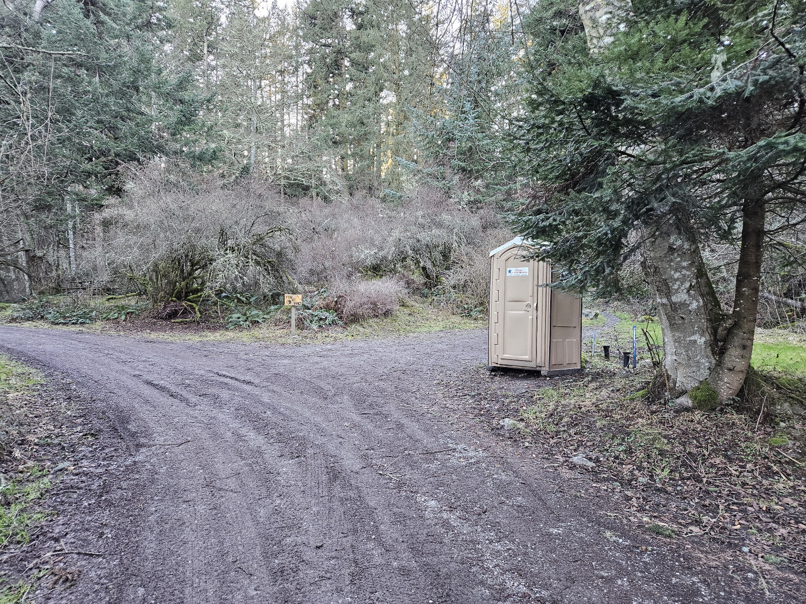
Yin & Yang yurts
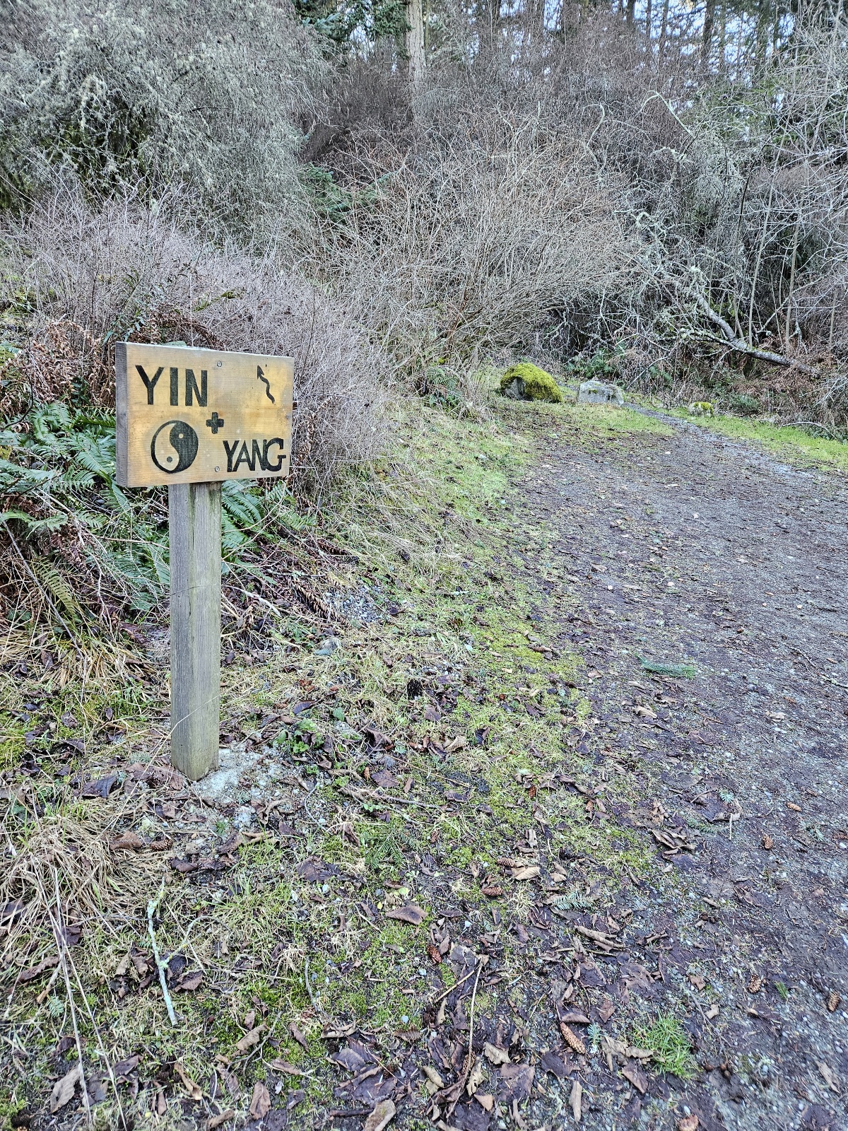
Yin & Yang yurts
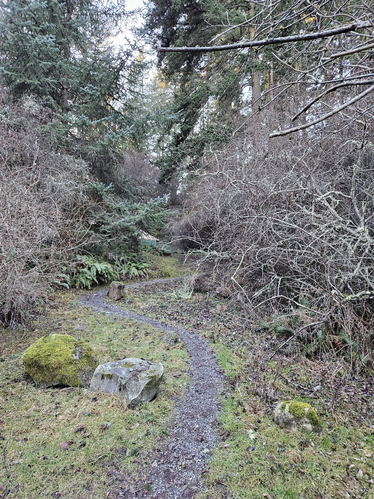
Yin & Yang yurts
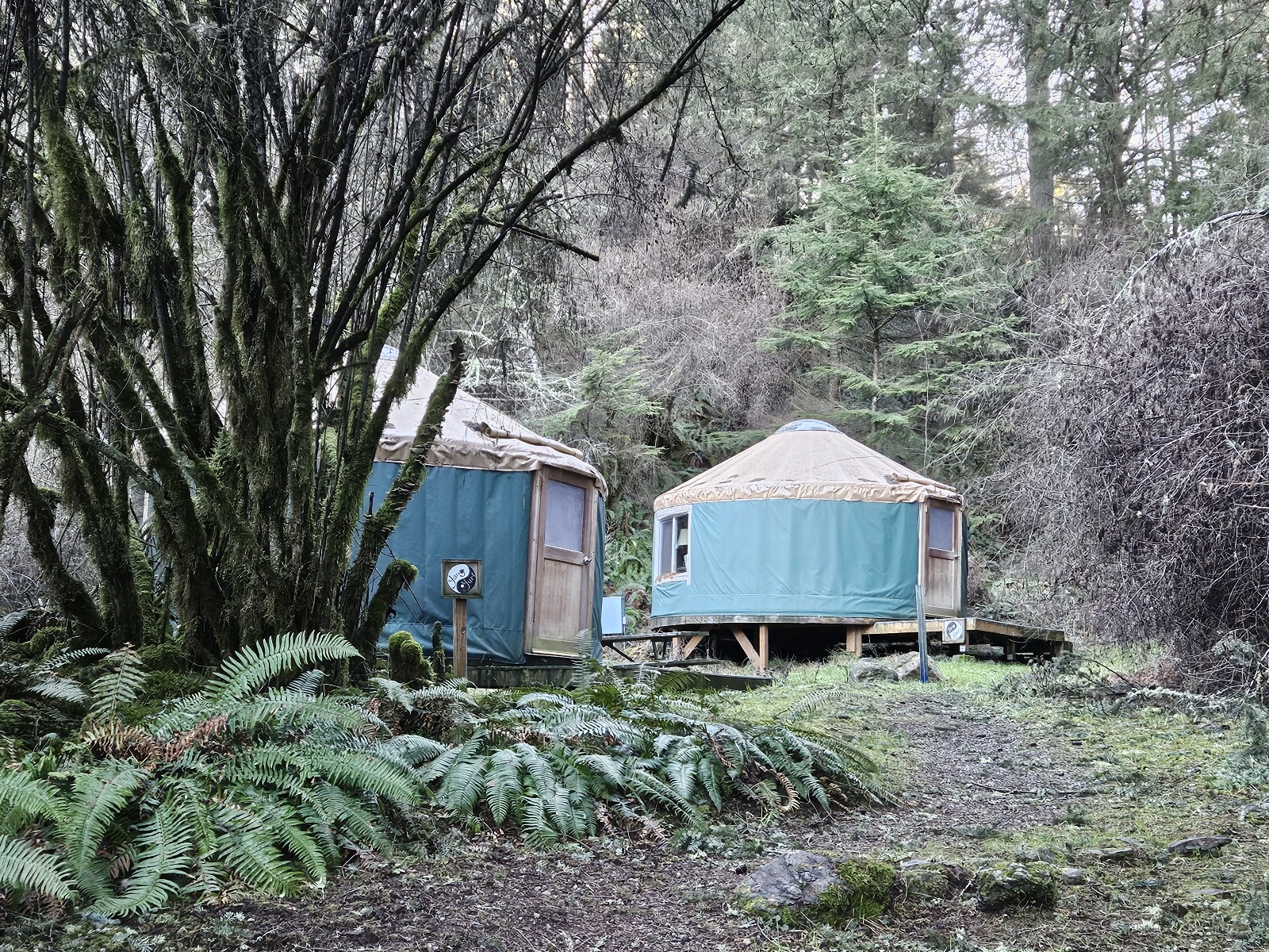
Yin & Yang yurts
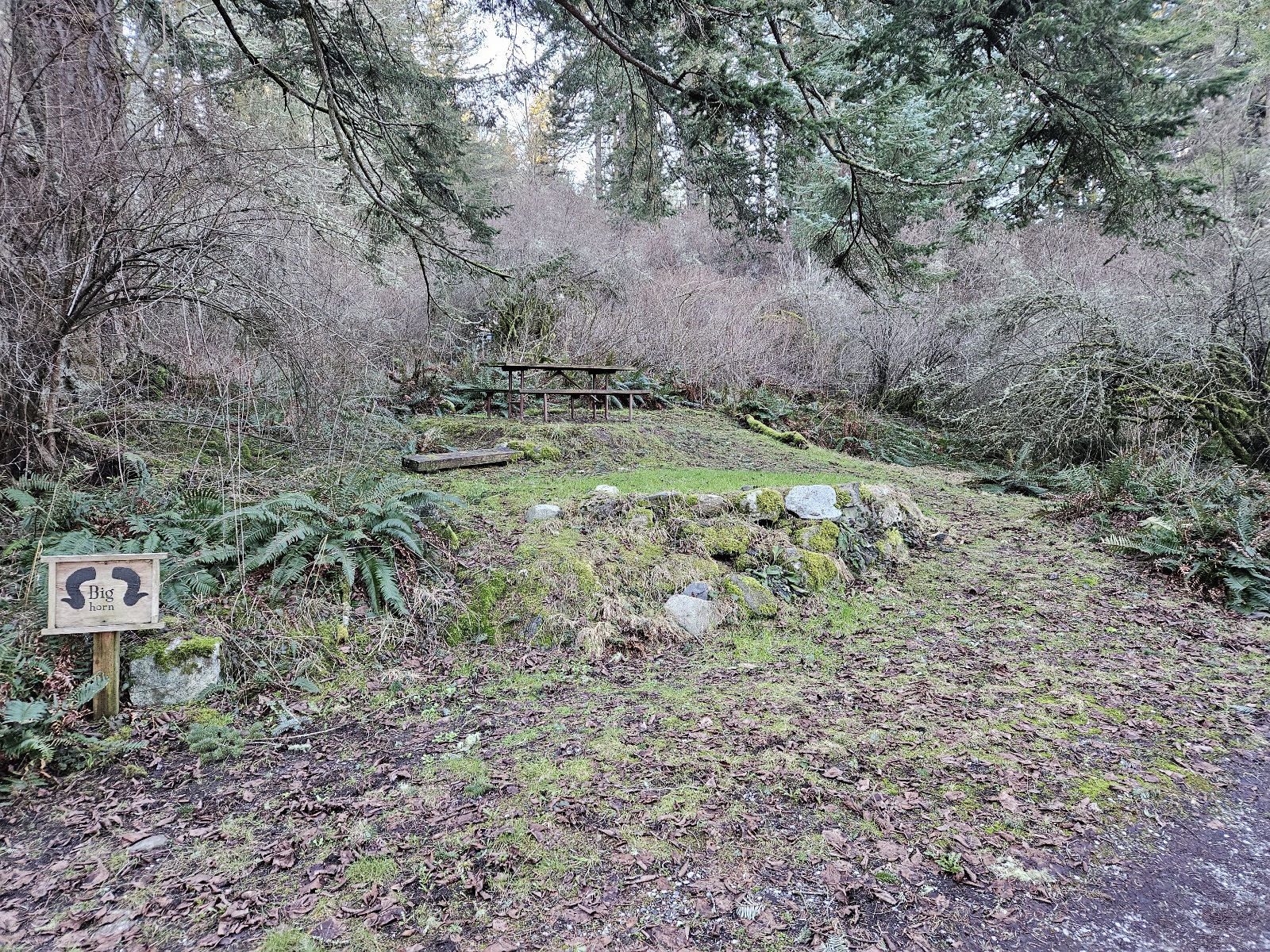
Bighorn campsite
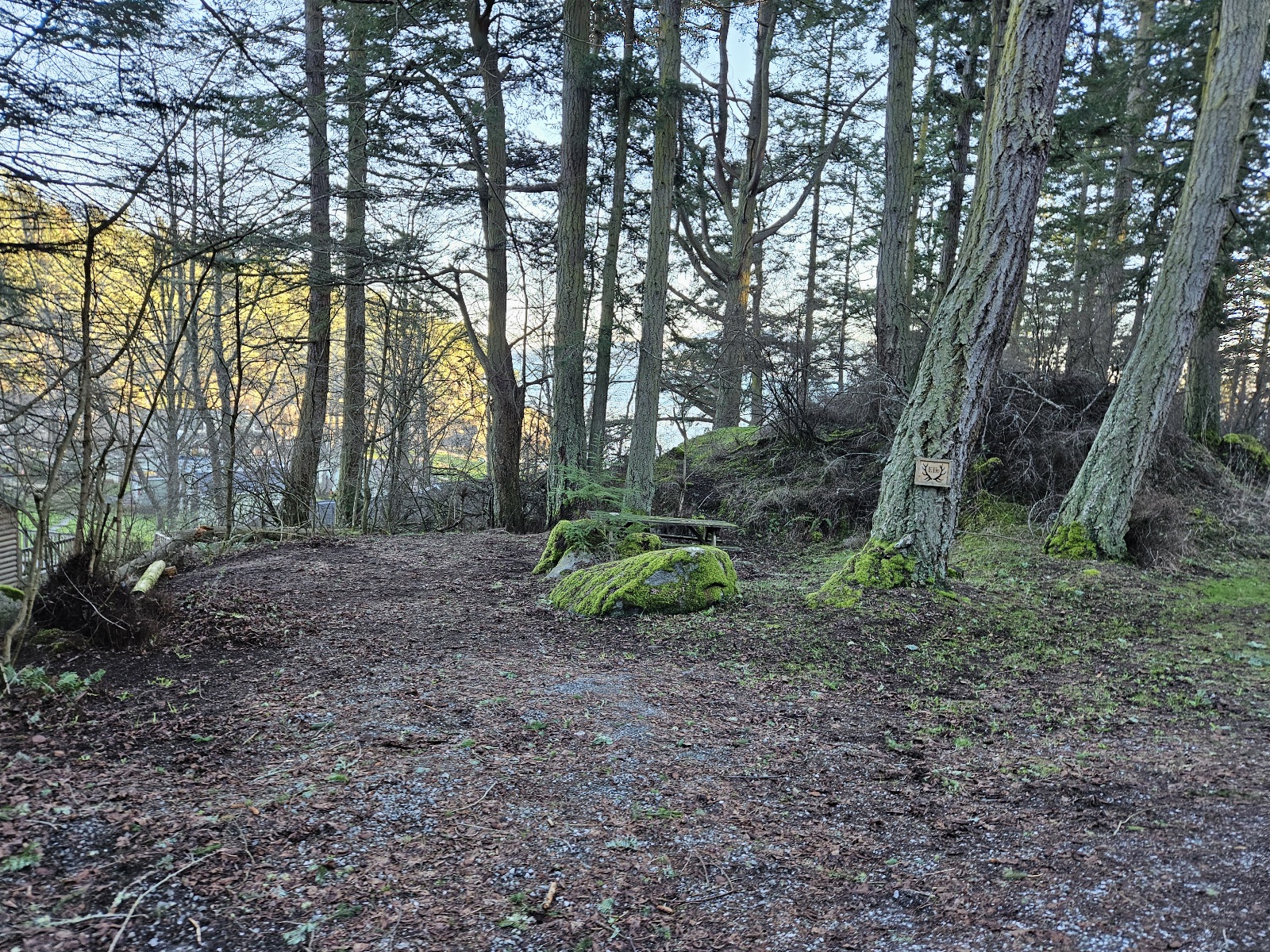
Elk drive-in site
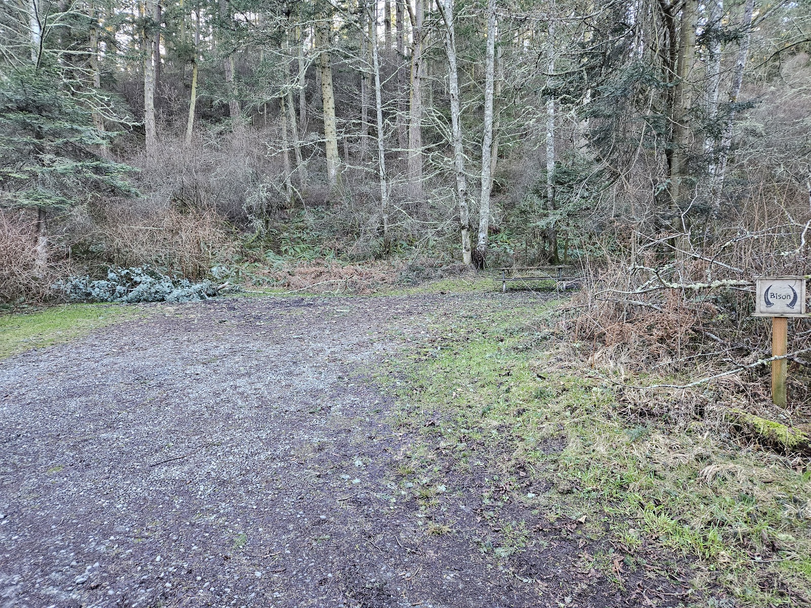
Bison drive-in site
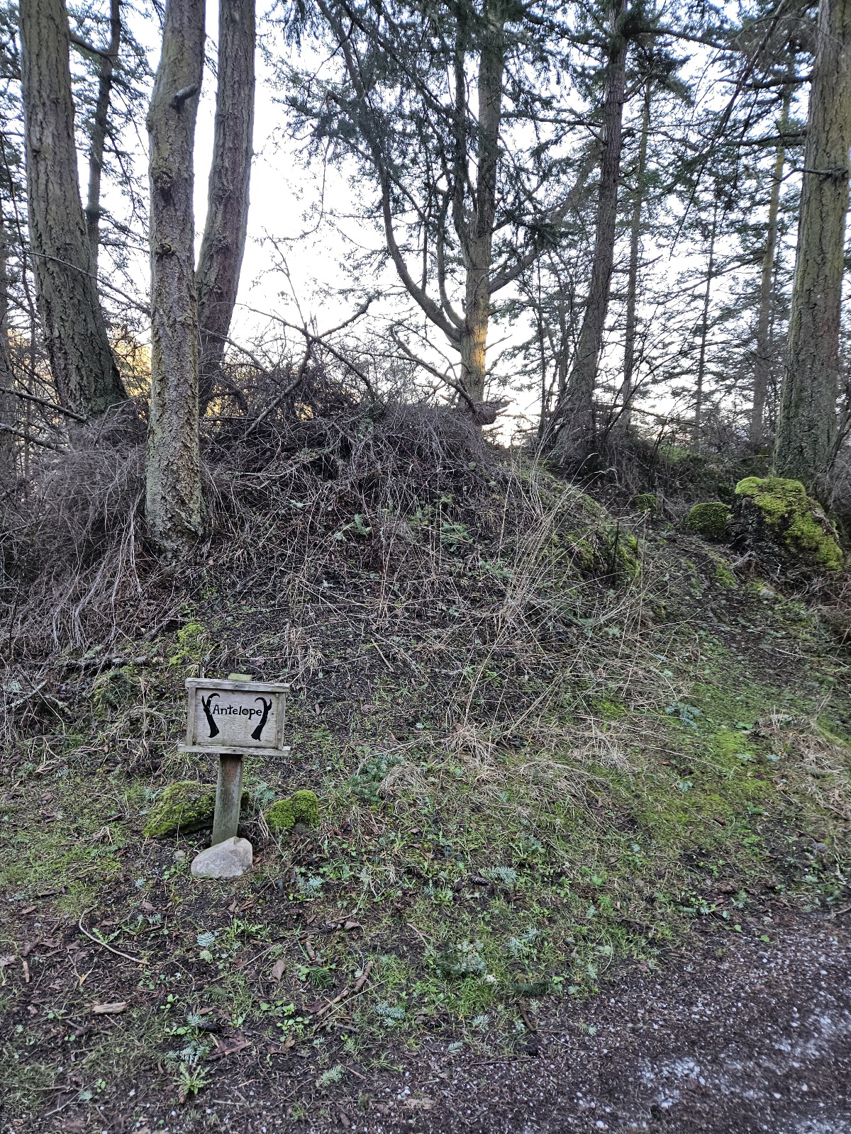
Antelope campsite
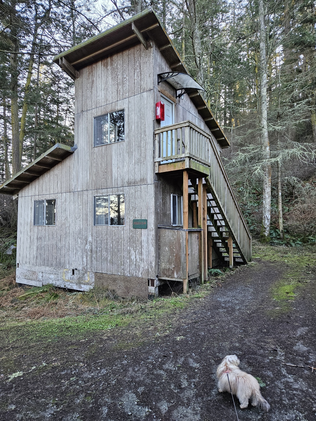
Ananda rustic cabin


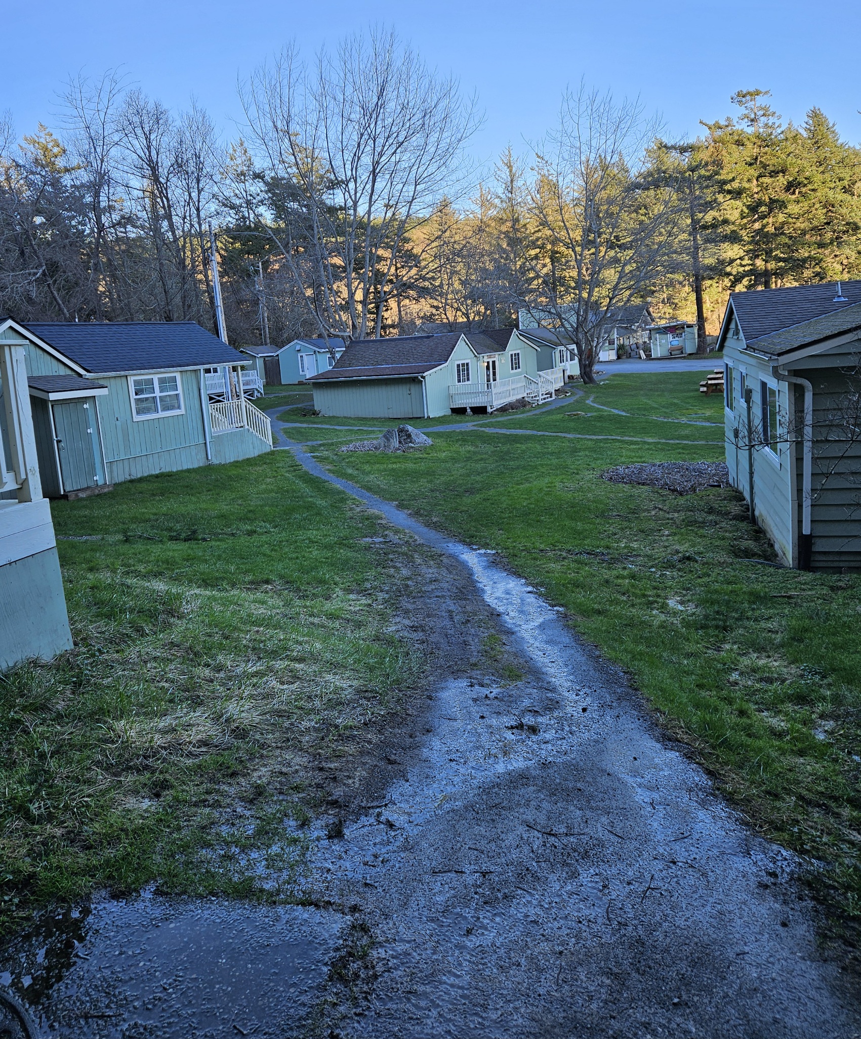
- lower field / Social District
view from Blakely
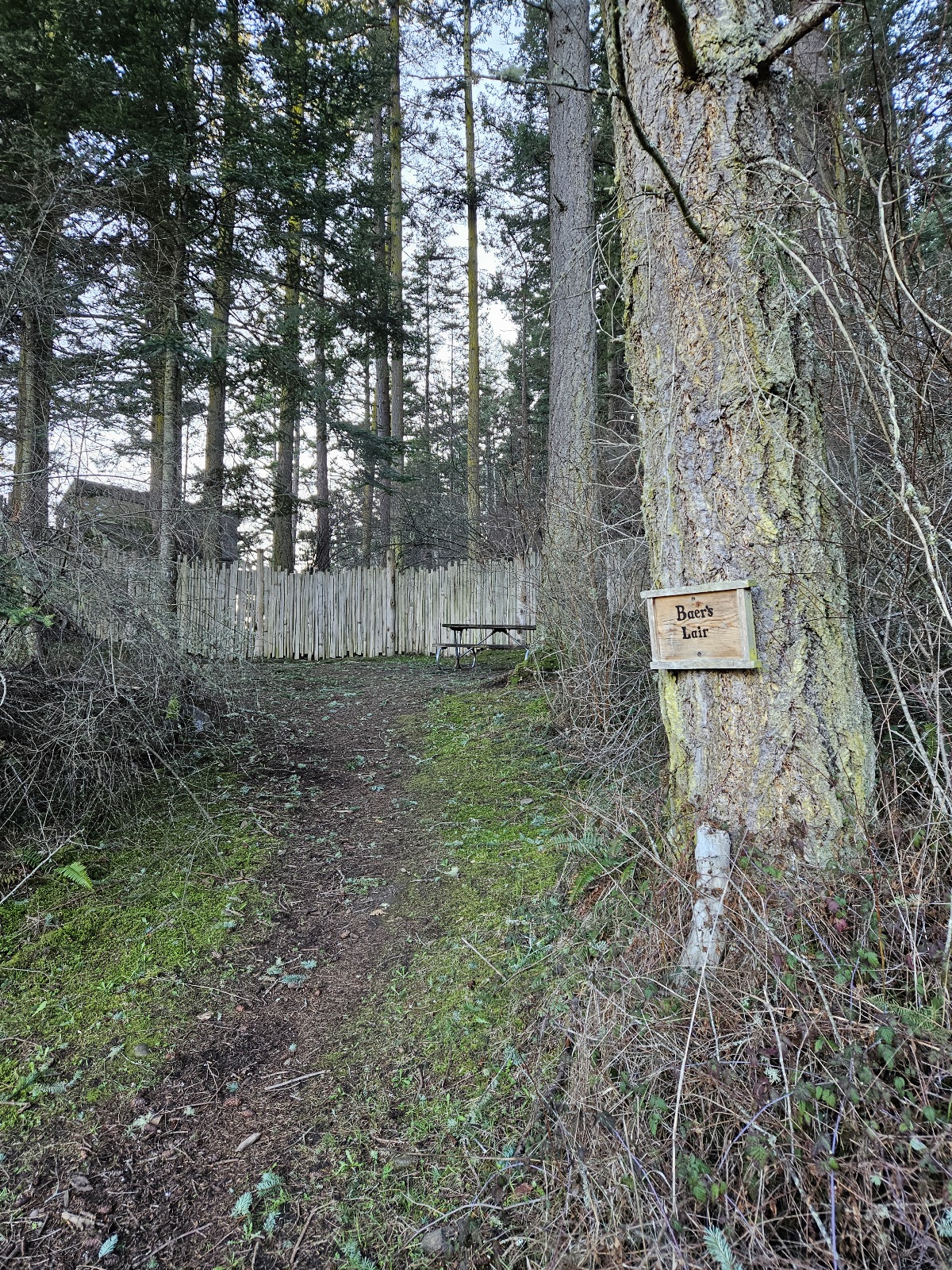
Baer's Lair campsite
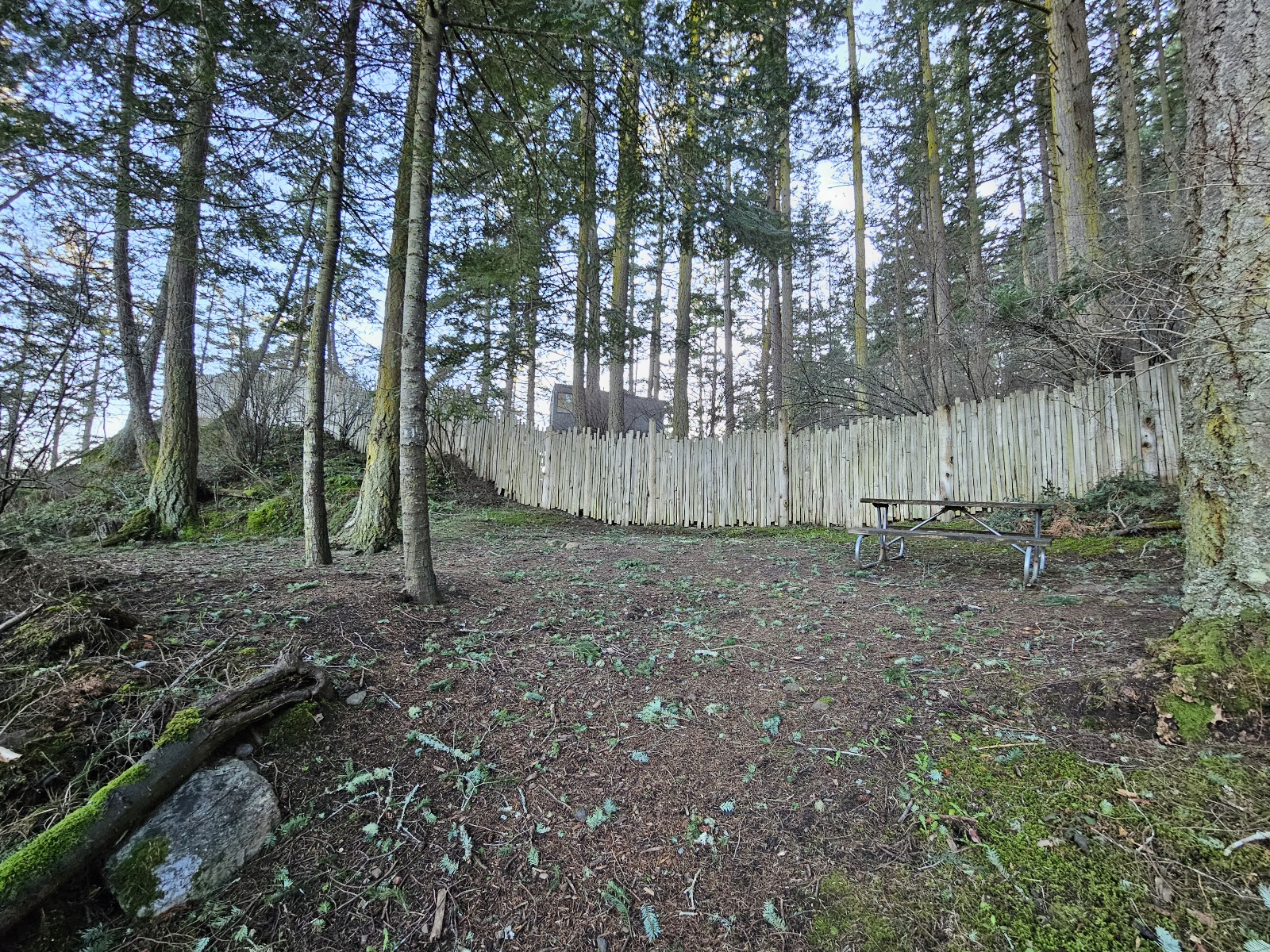
Baer's Lair campsite
Baer's Lair view
Sweet Spot view
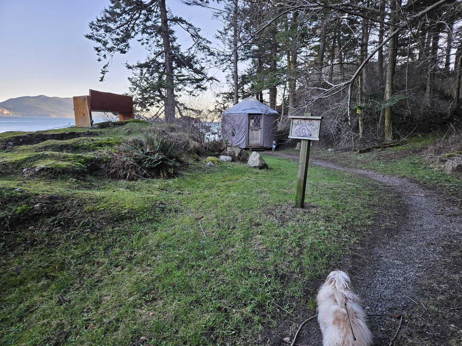
Sweet Spot yurt
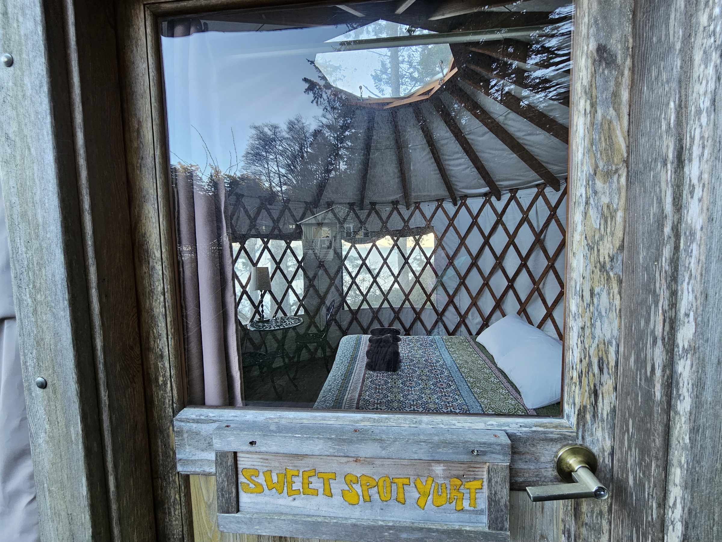
Check out that view!


- Lower field pano
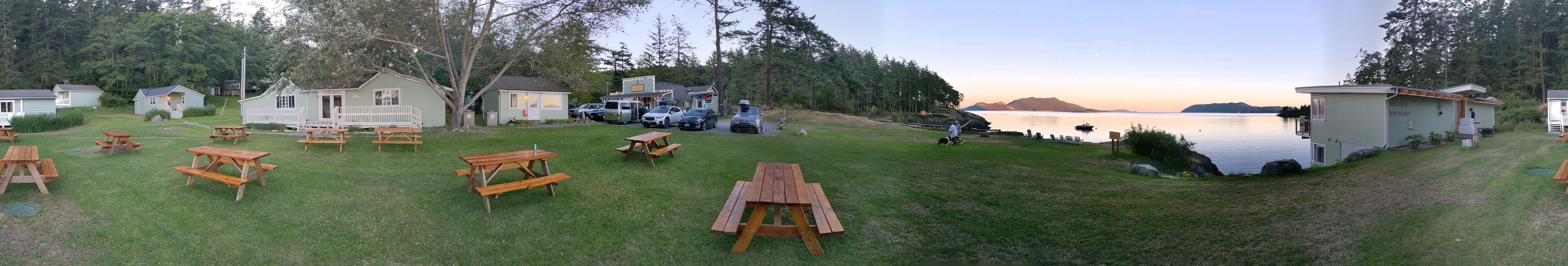
360 - Cypress, Blakely, Peapod, Yoga Studio, Little House, Doe Bay store, Rosario Strait, Boathouse

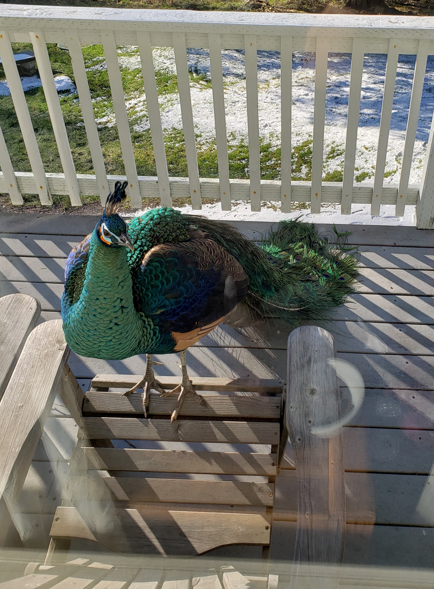
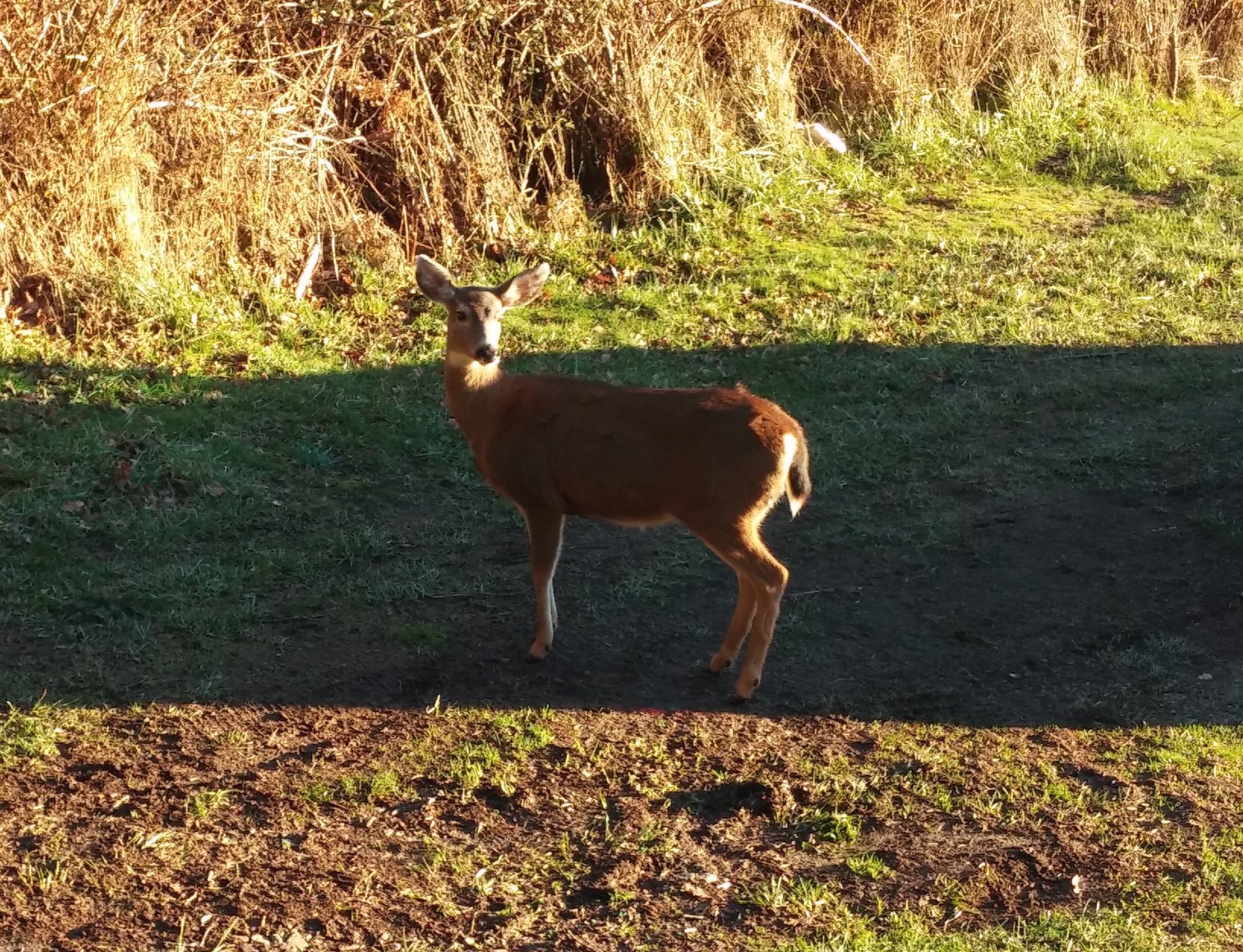
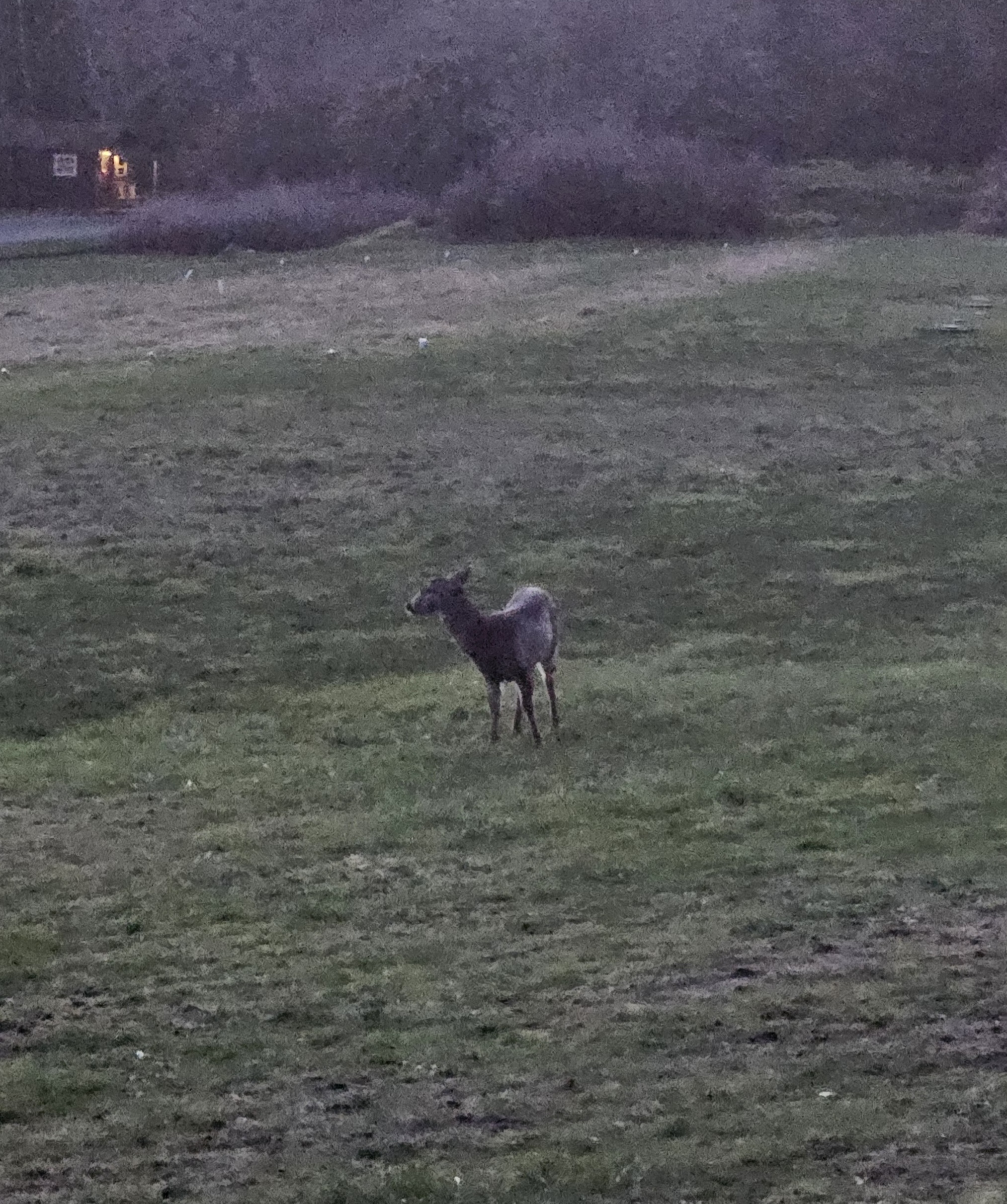
Misc
doe, a deer
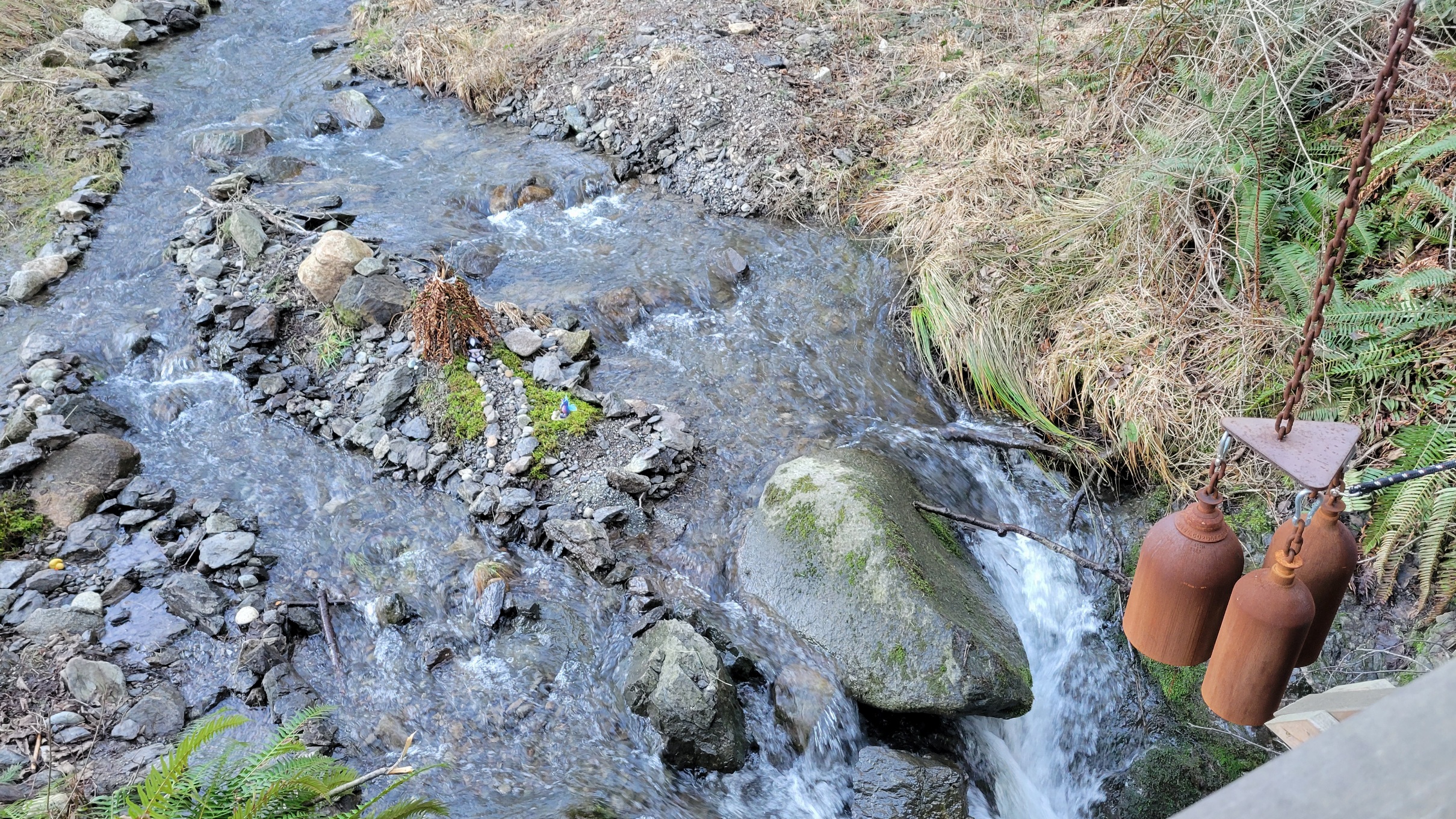
creek bells
#deerfacts
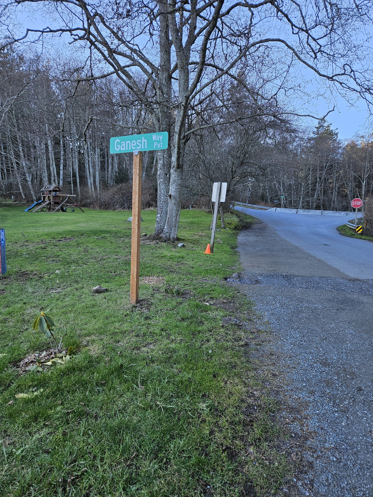
road into Doe Bay, where Reg tent is
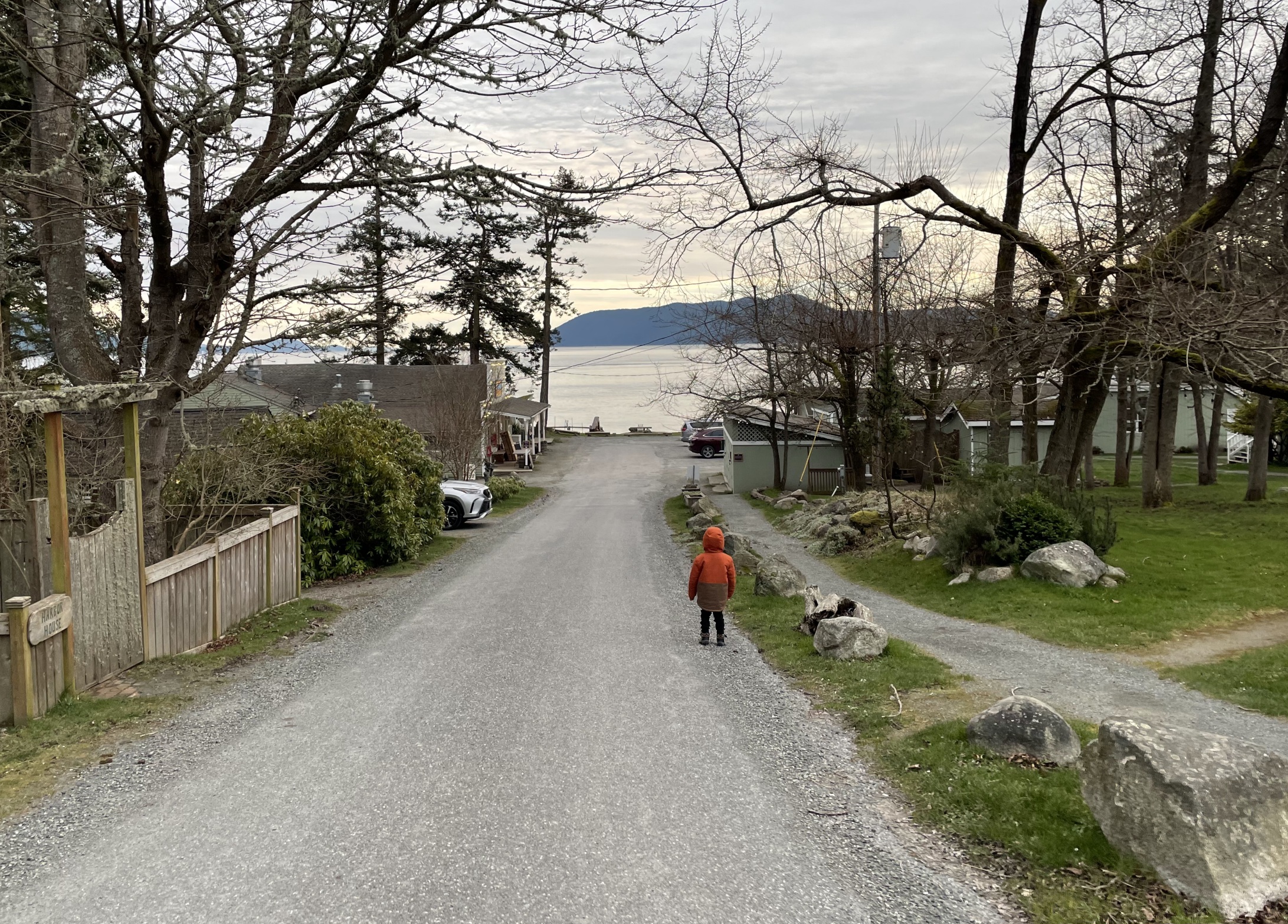
Doe Bay Road and walkway from Reg to Cafe/Store ...
... and Doe Bay Road looking the other way
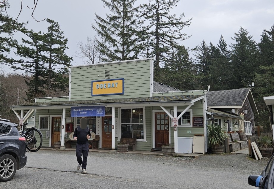
Doe Bay Store, Cafe, and Otter Lounge


- Spa
spa view at low tide
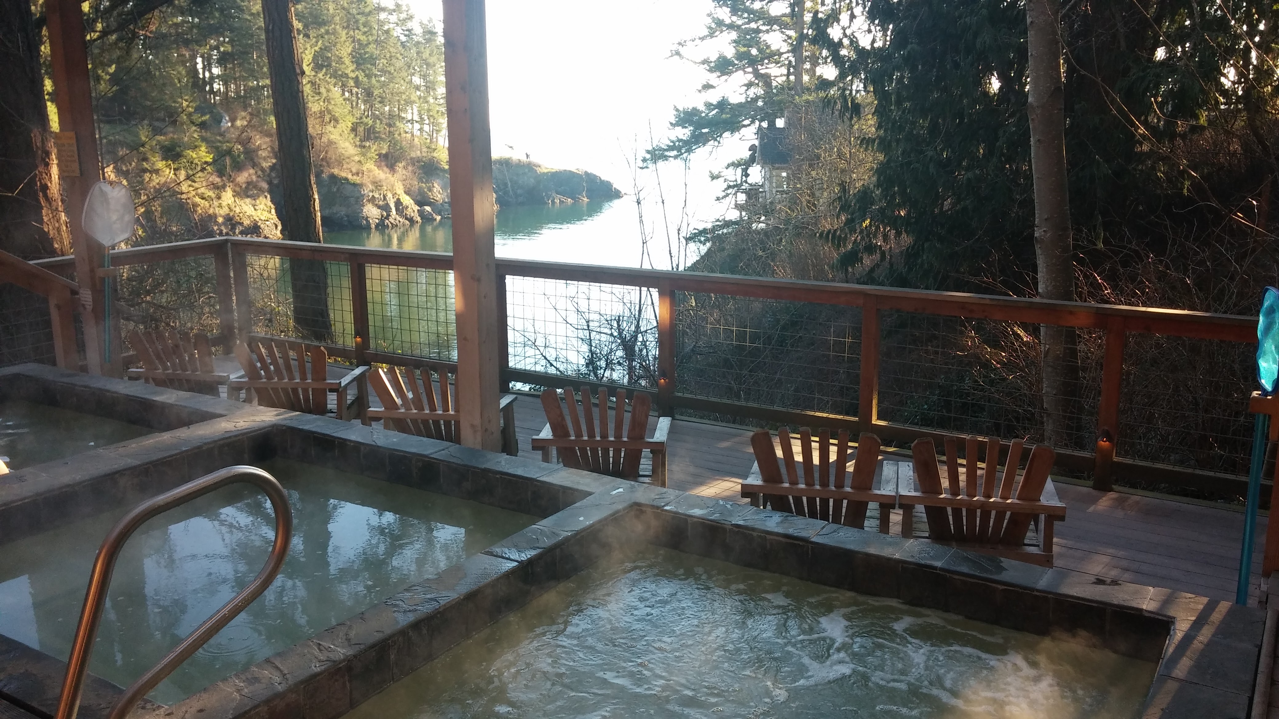
all 3 soaking tubs are open again
view from the spa


- Prime Dome
2016
2018
2022


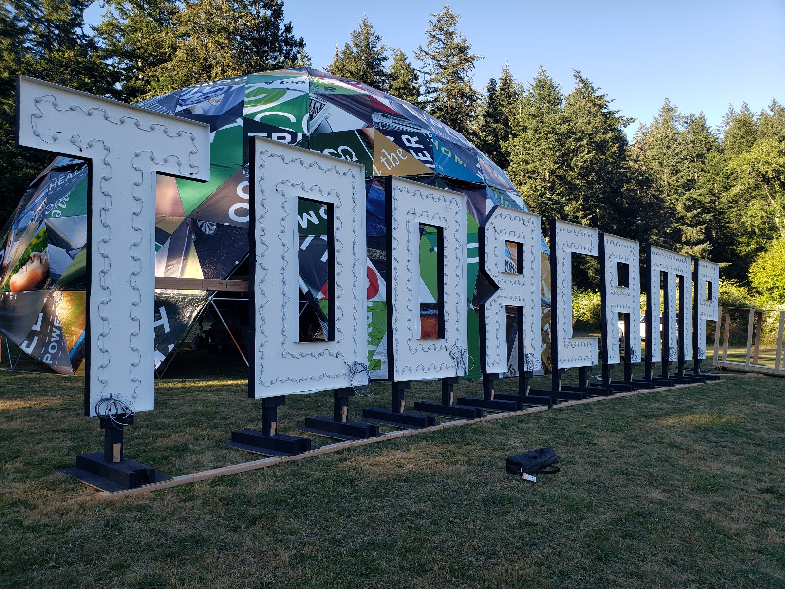
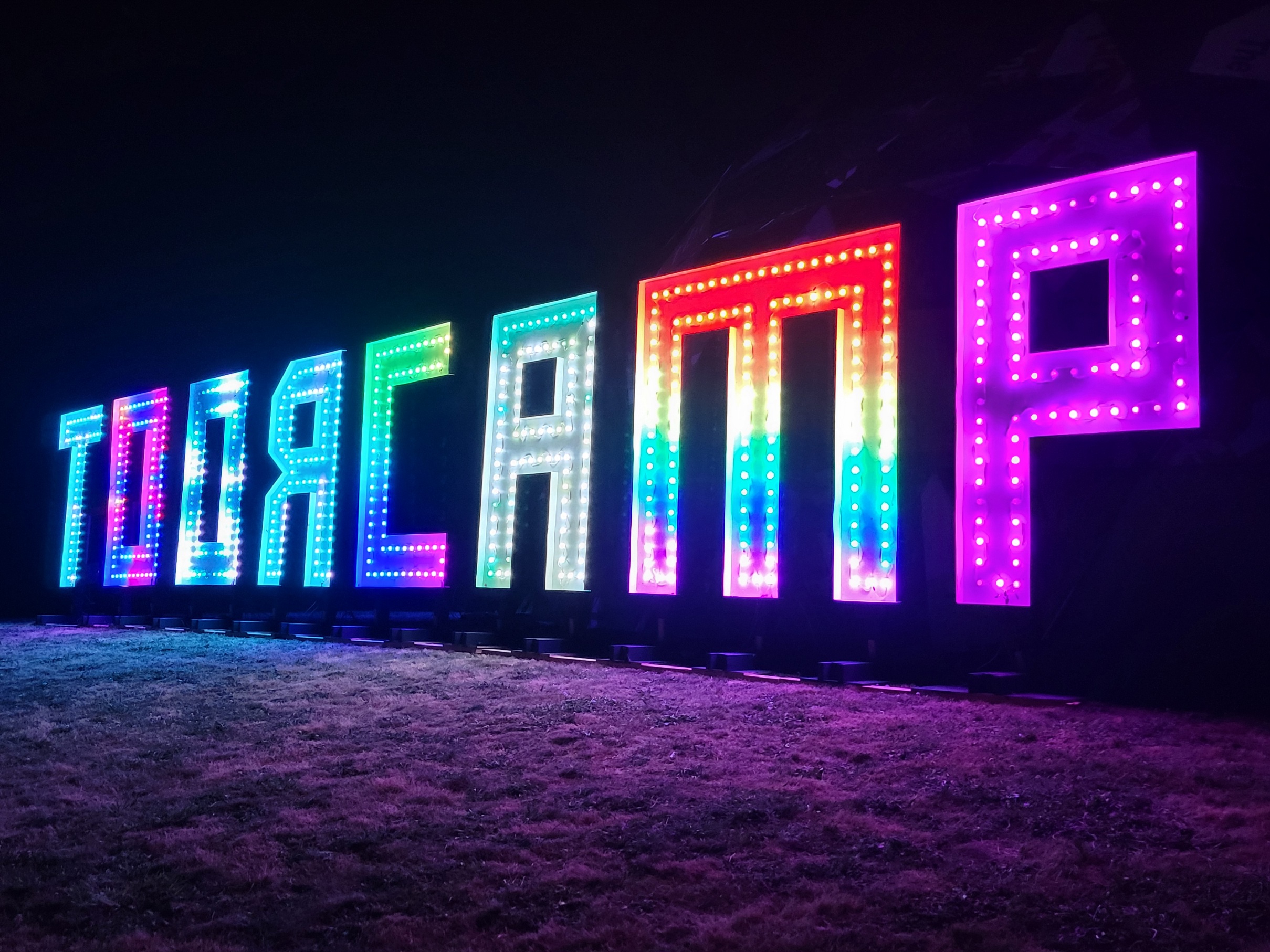
- ToorCamp Sign
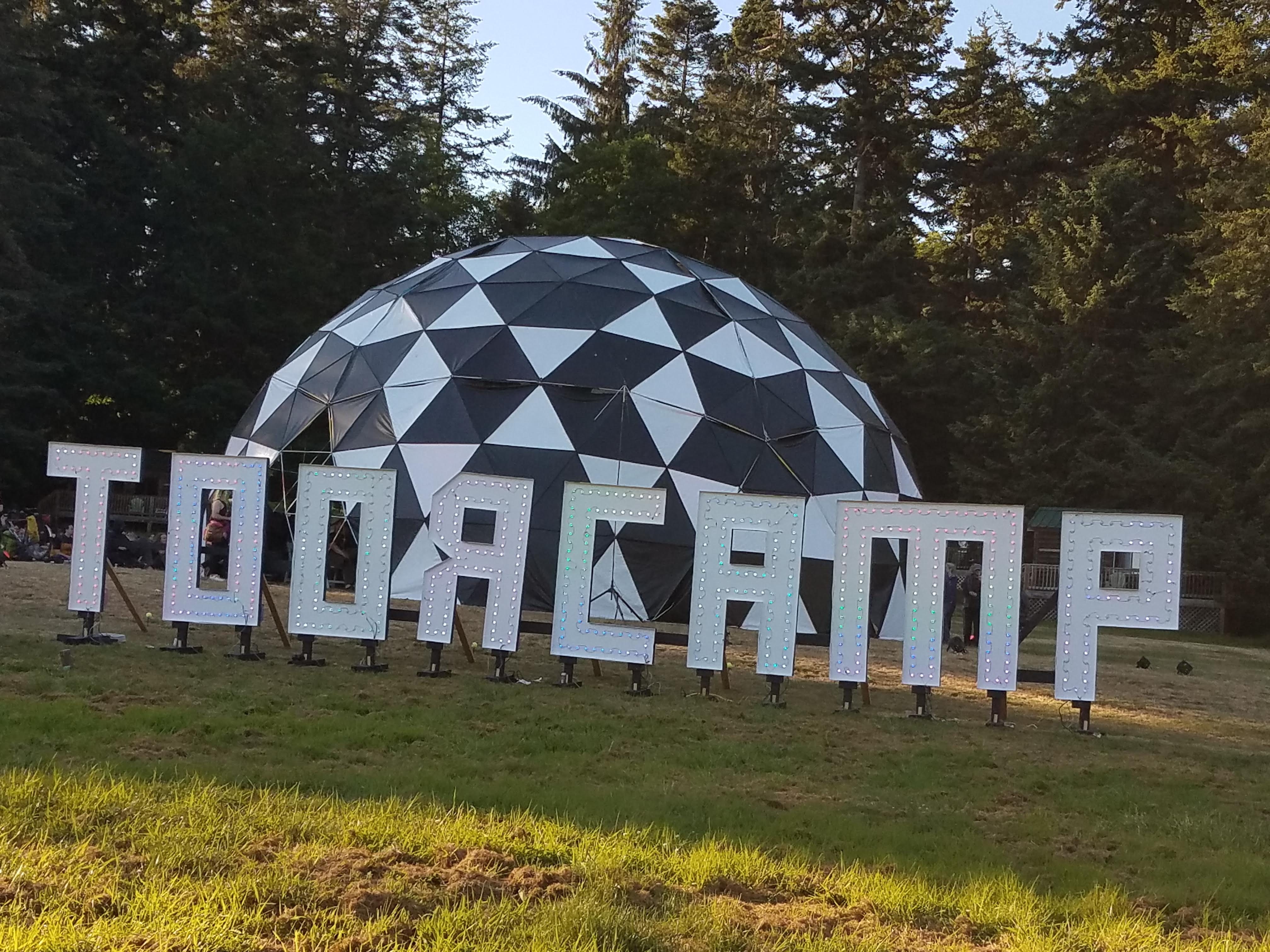
shiny new ToorCamp sign for 2018!
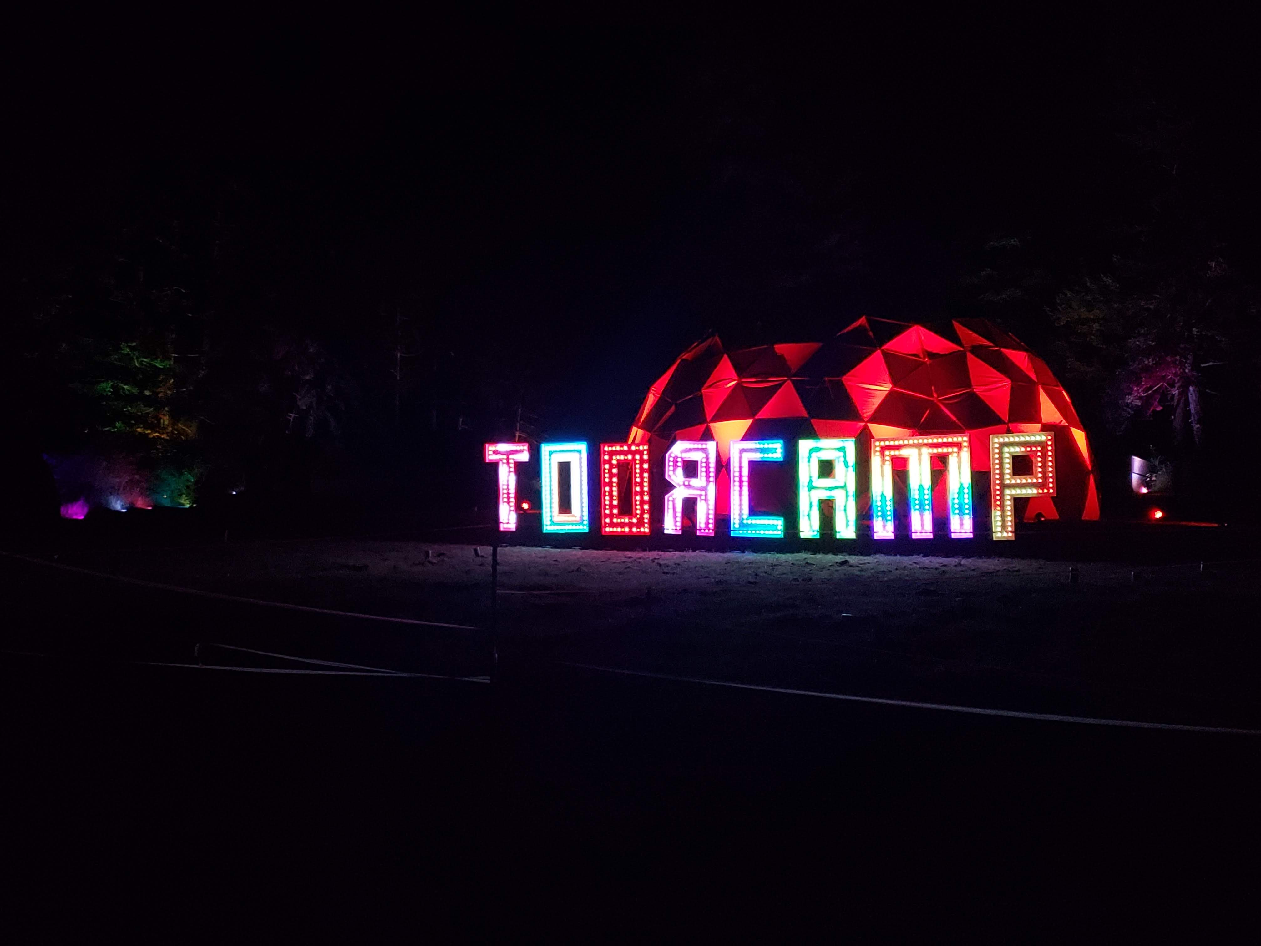
hack the sign!
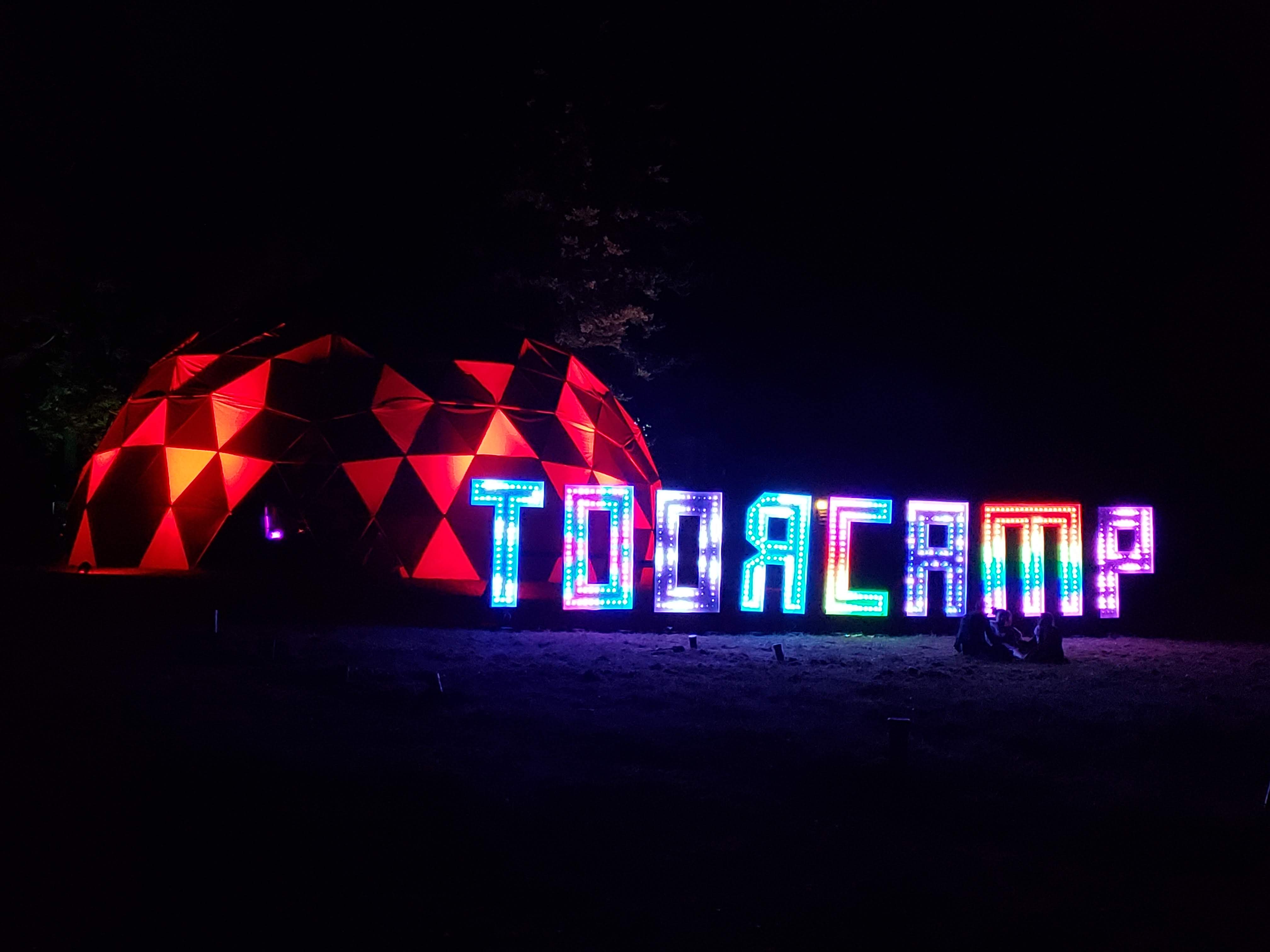
new animations every night!


- July 2022
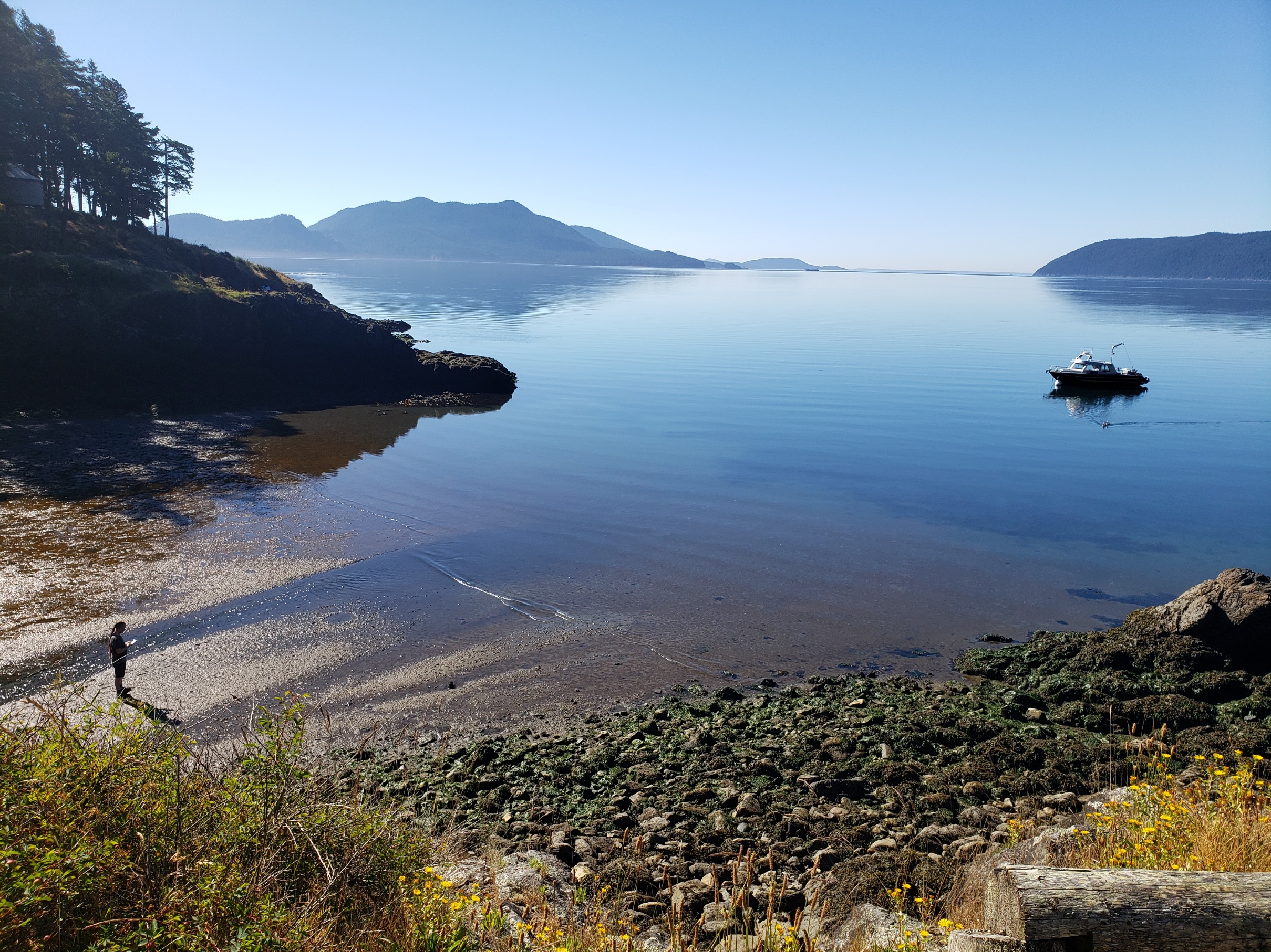
king tides
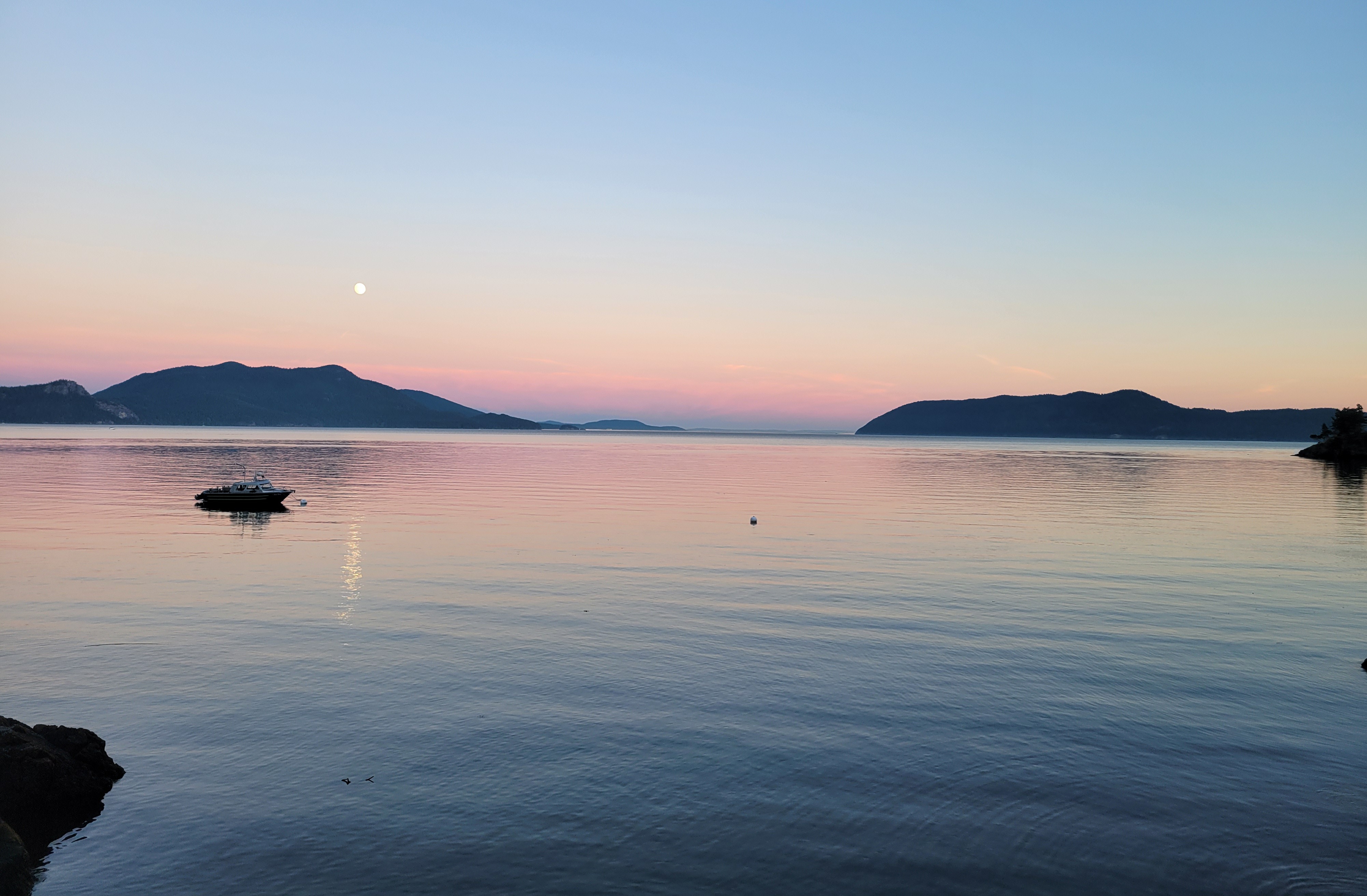
summer sunset
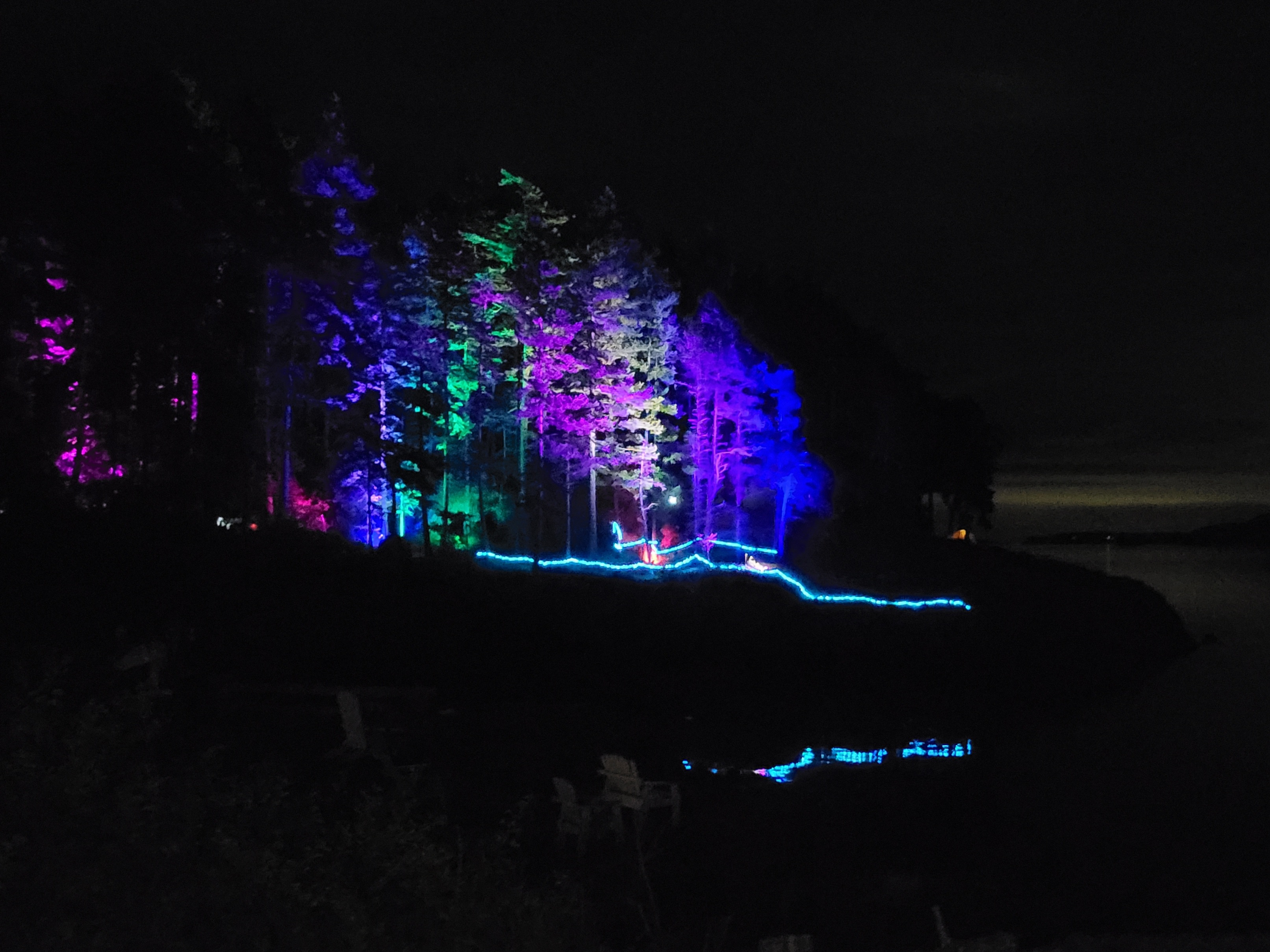
The point all lit up and pretty!


- Can't get enough of this view!