Difference between revisions of "SitePhotos"
Jump to navigation
Jump to search
ZarkleToor (talk | contribs) (add camp sites) |
ZarkleToor (talk | contribs) m (minor edits) |
||
| Line 28: | Line 28: | ||
| − | <gallery caption="Boathouse | + | <gallery caption="Boathouse" mode=packed heights=250px style="border: dashed thin gray"> |
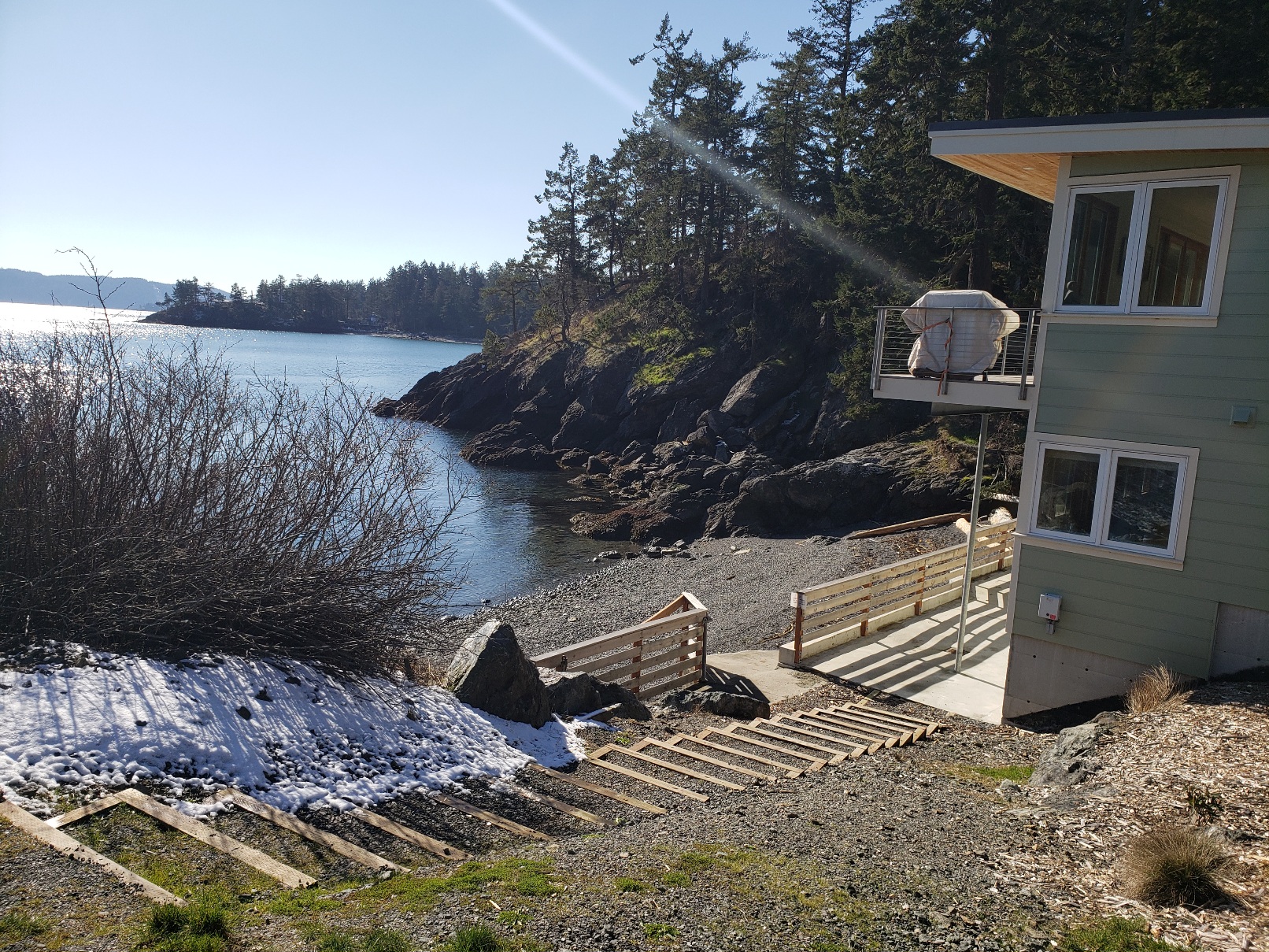
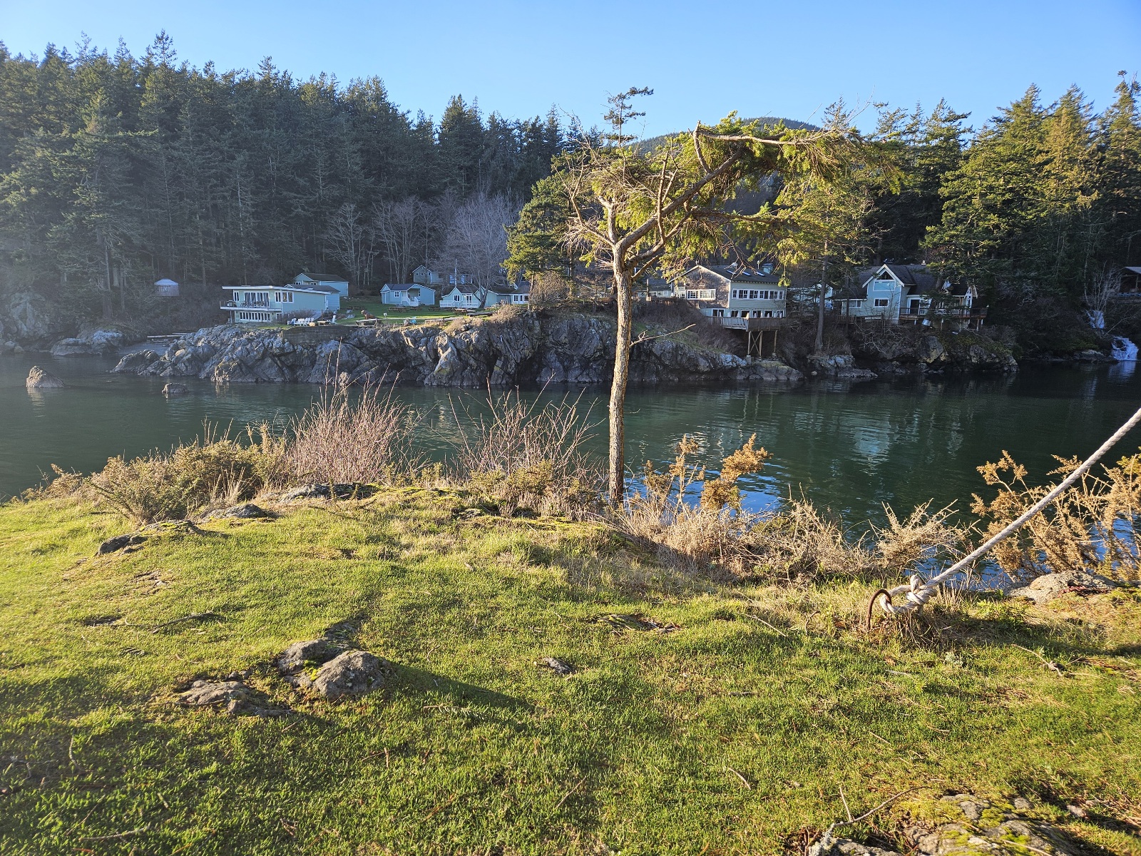
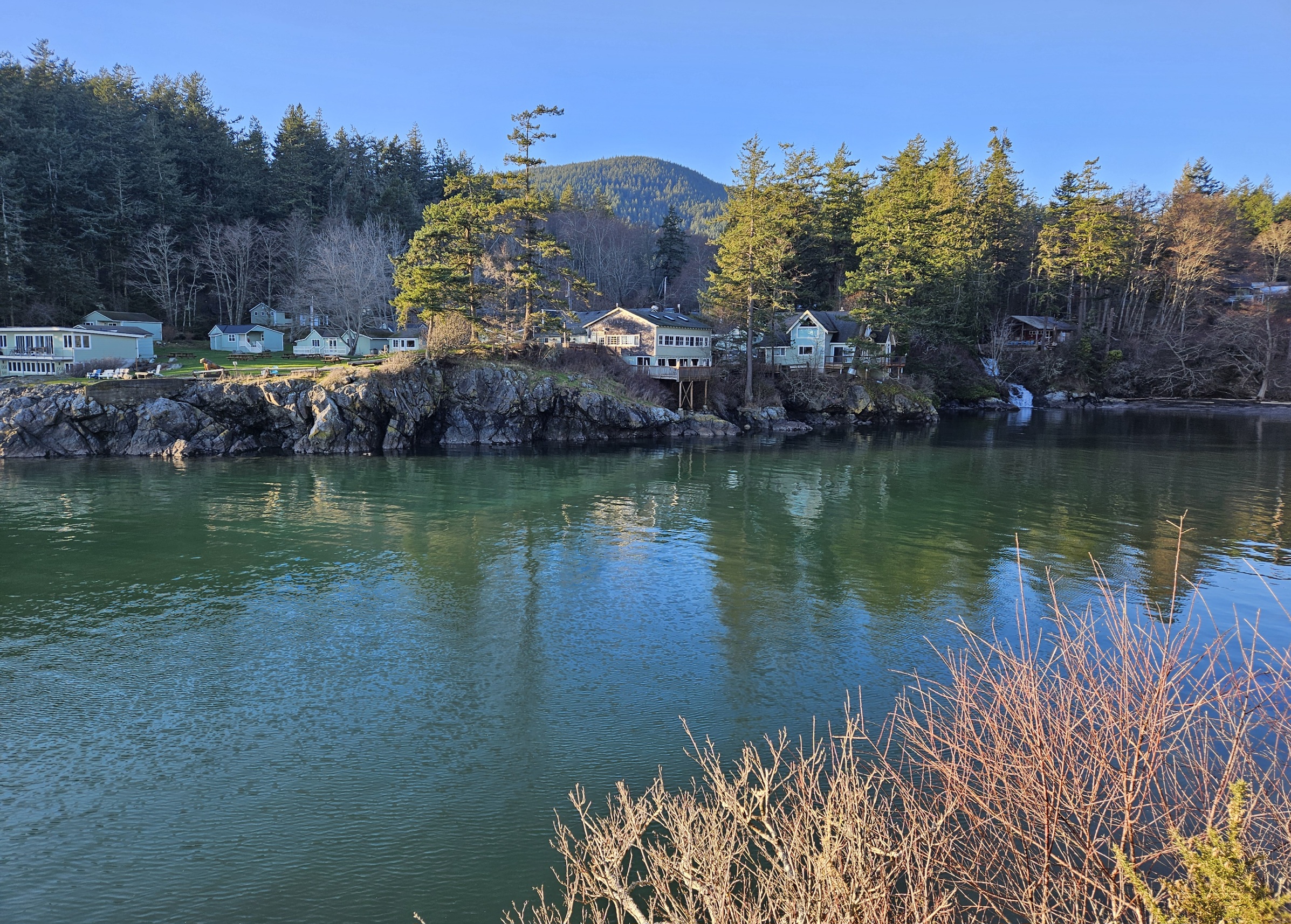
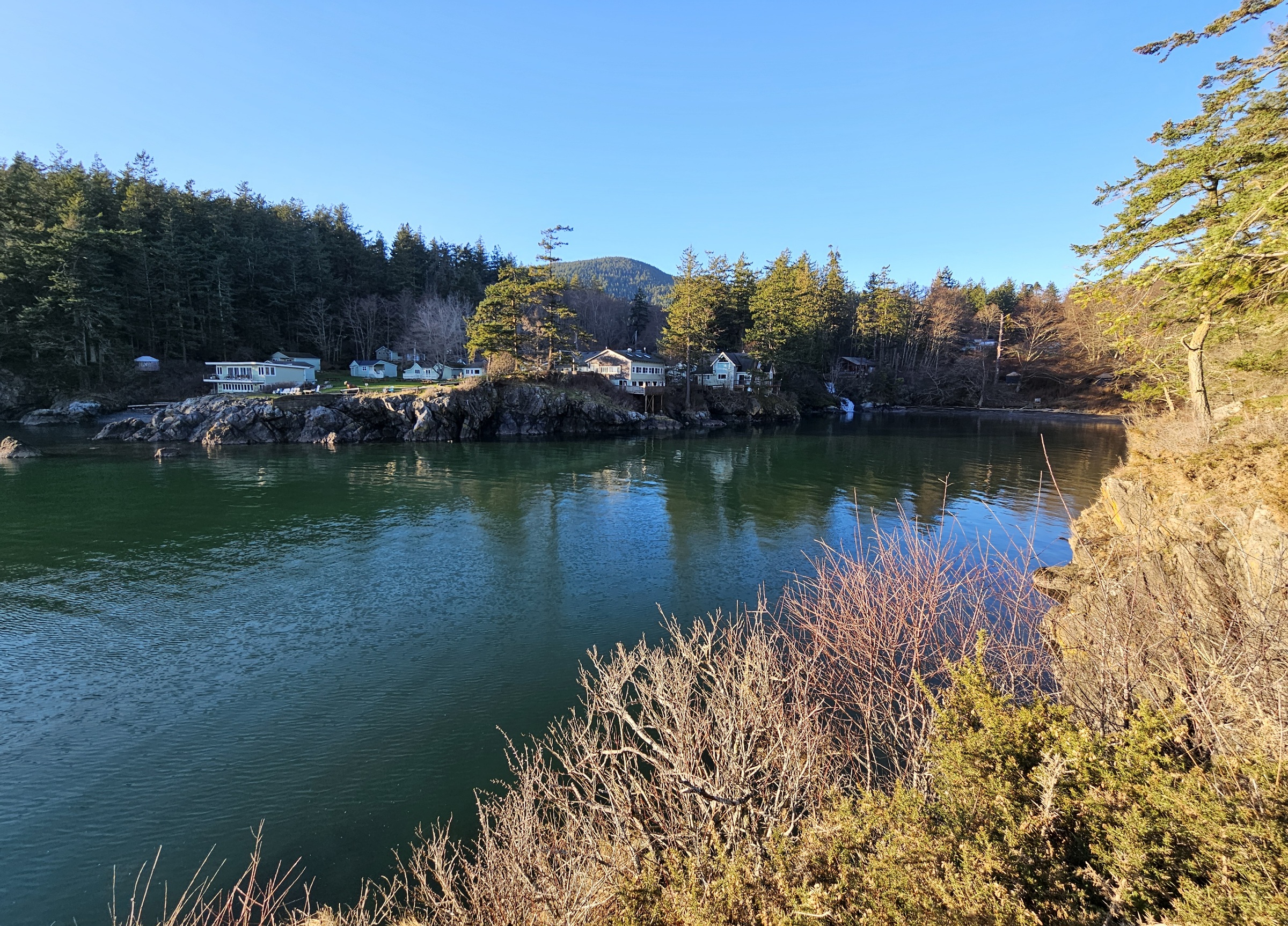
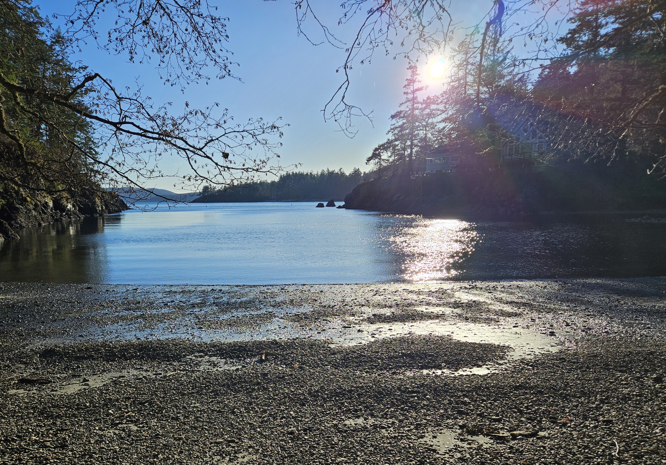
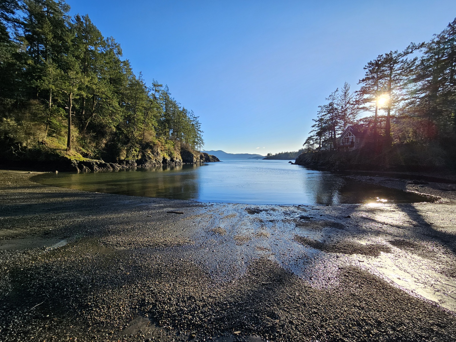
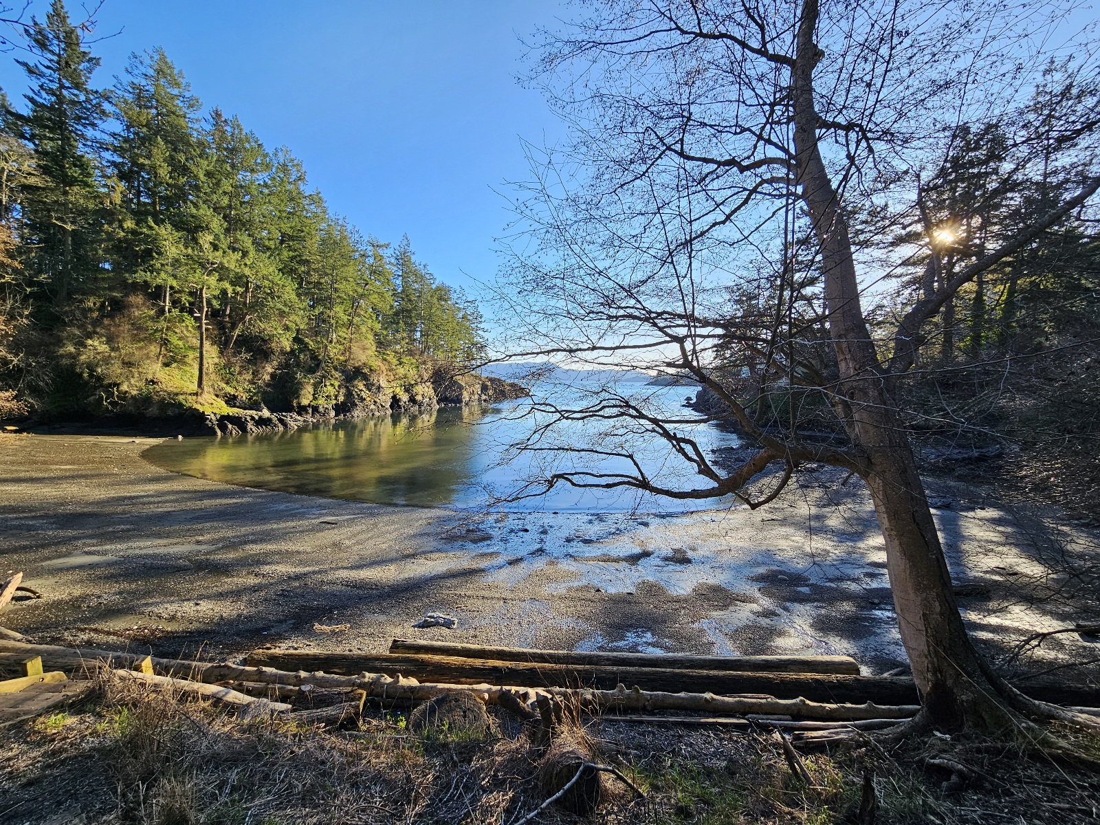
| − | Image: Kayakbeach2.jpg|alt="kayak beach" | + | Image: Kayakbeach2.jpg|alt="kayak beach"|kayak beach |
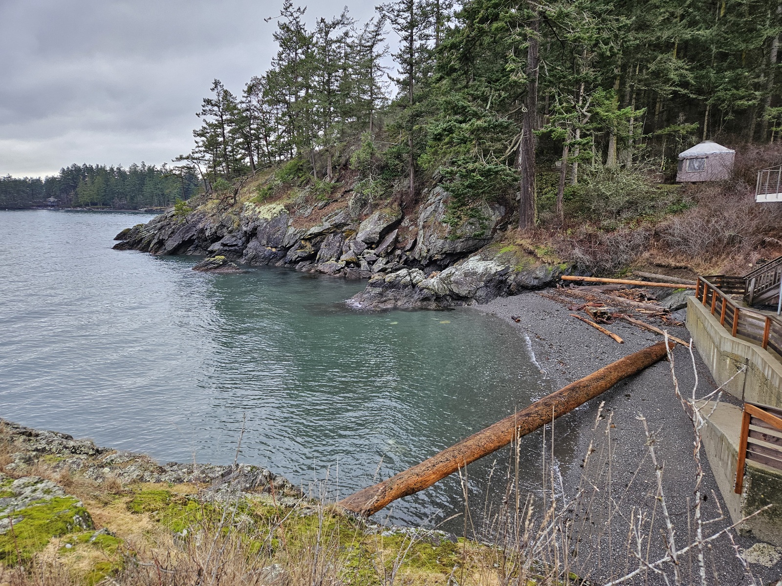
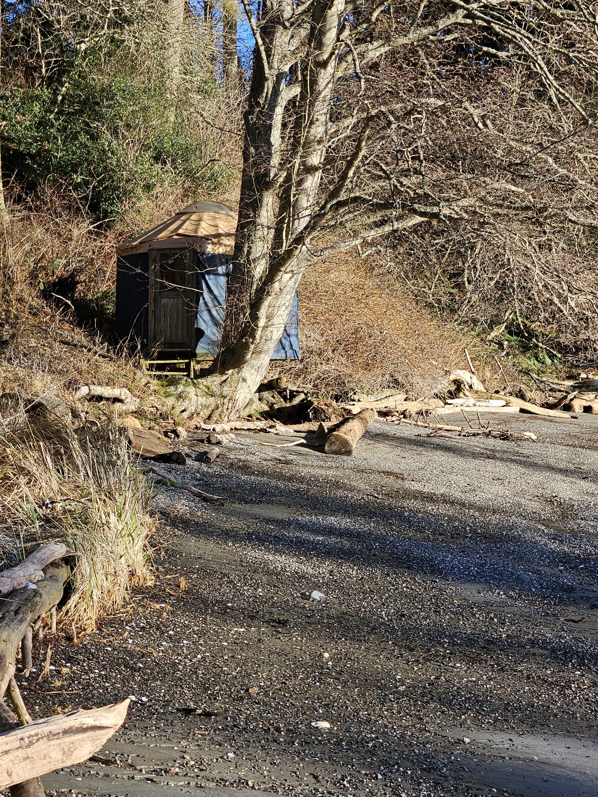
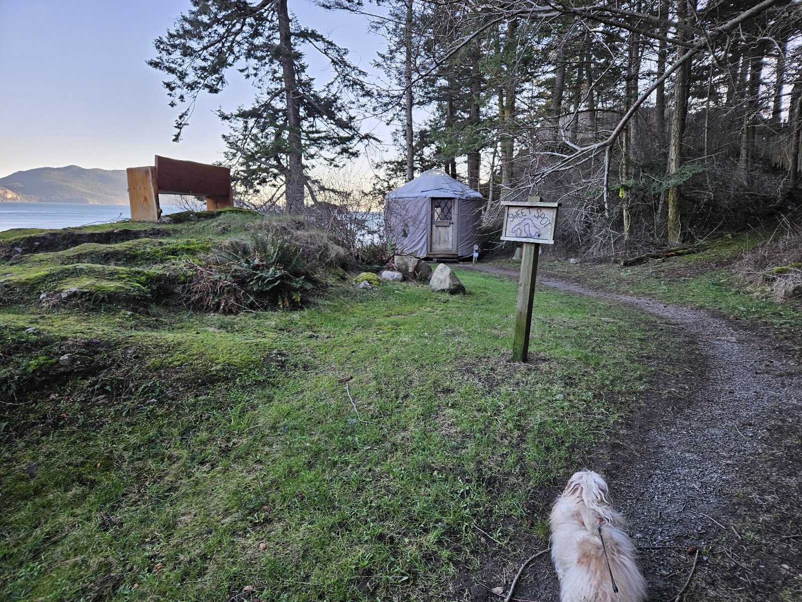
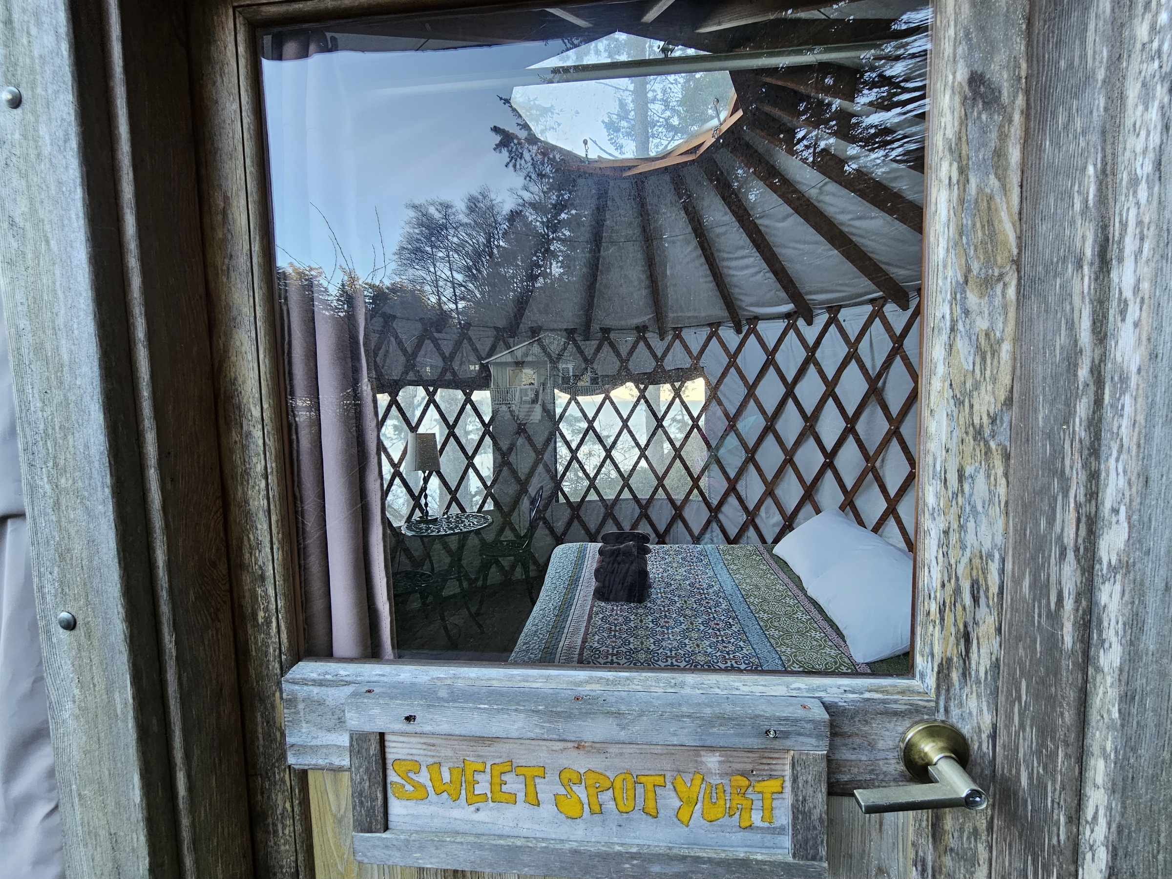
| − | Image: | + | Image: Kayakbeach1.jpg|alt="kayak beach"|Sweet Spot yurt in the distance |
Image: Boathouse1.jpg|alt="Boathouse view" | Image: Boathouse1.jpg|alt="Boathouse view" | ||
| − | |||
| − | |||
| − | |||
| − | |||
| − | |||
| − | |||
| − | |||
</gallery> | </gallery> | ||
| Line 78: | Line 71: | ||
| − | === | + | === Prime District === |
| − | <gallery caption="Prime Dome | + | <gallery caption="Prime Dome field" mode=packed heights=200px style="border: dashed thin"> |
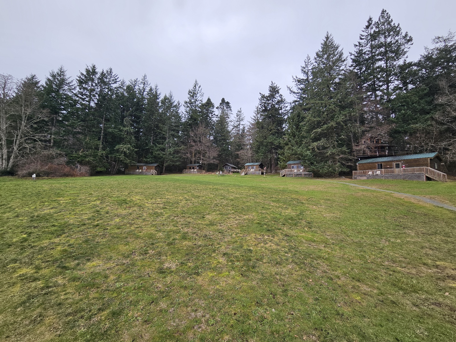
Image:Upper1.jpg|alt="upper field cabins"|upper field cabins | Image:Upper1.jpg|alt="upper field cabins"|upper field cabins | ||
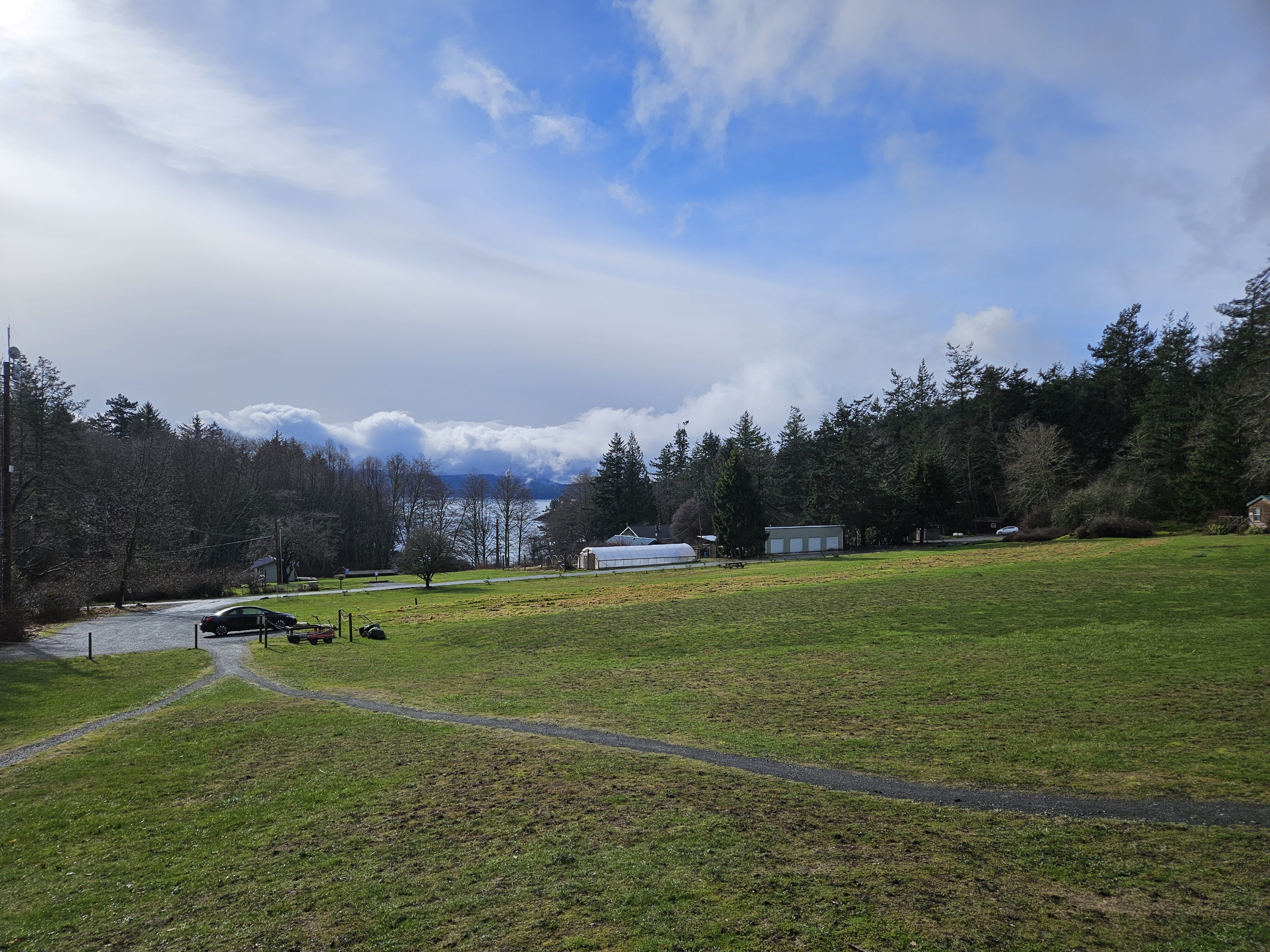
Image:Upper3.jpg|alt="prime dome field"|where prime dome will be | Image:Upper3.jpg|alt="prime dome field"|where prime dome will be | ||
| Line 87: | Line 80: | ||
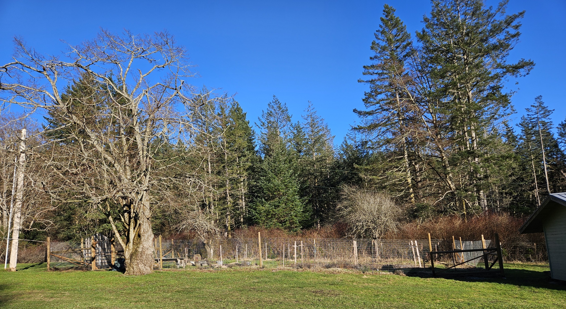
| − | <gallery caption="Village | + | <gallery caption="Village camping field" mode=packed heights=200px style="border: dashed thin"> |
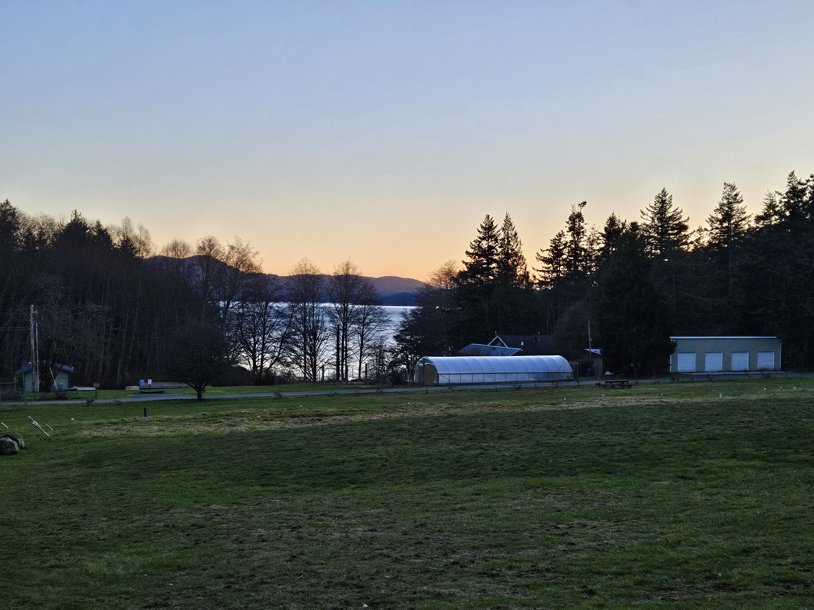
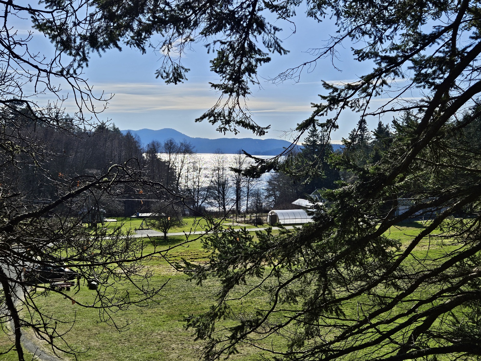
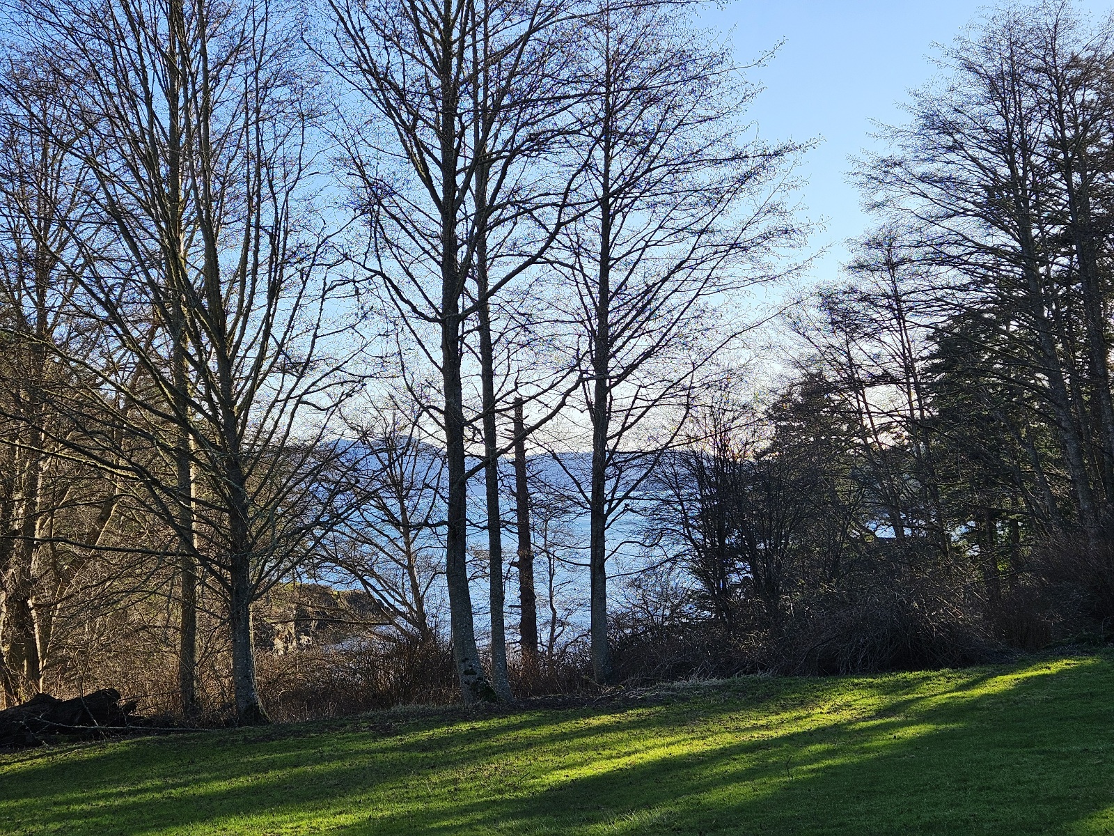
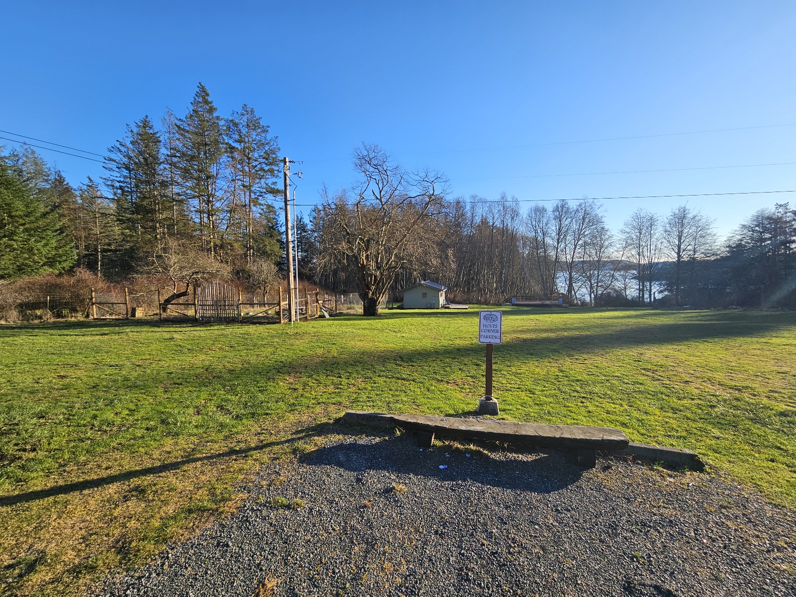
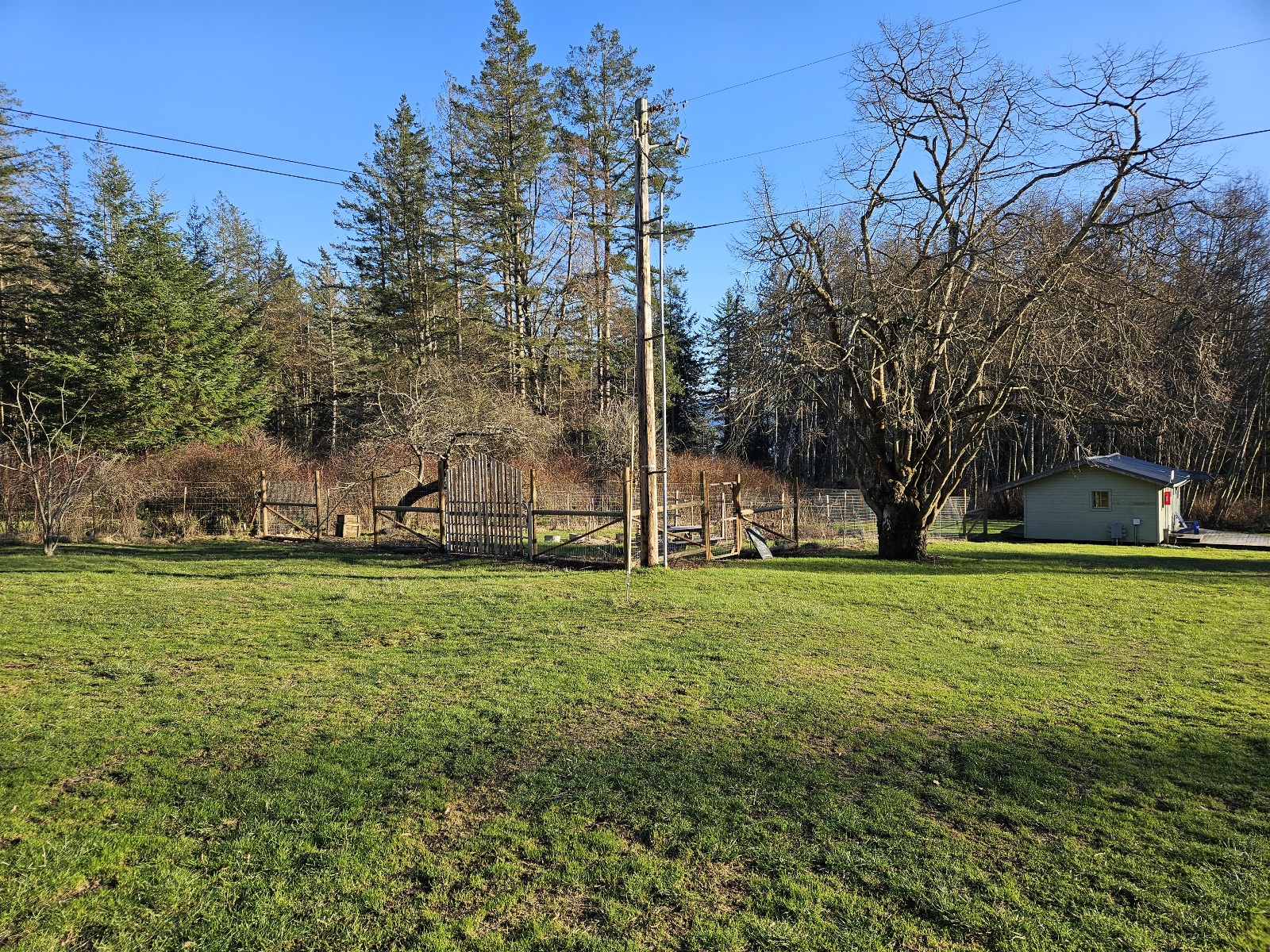
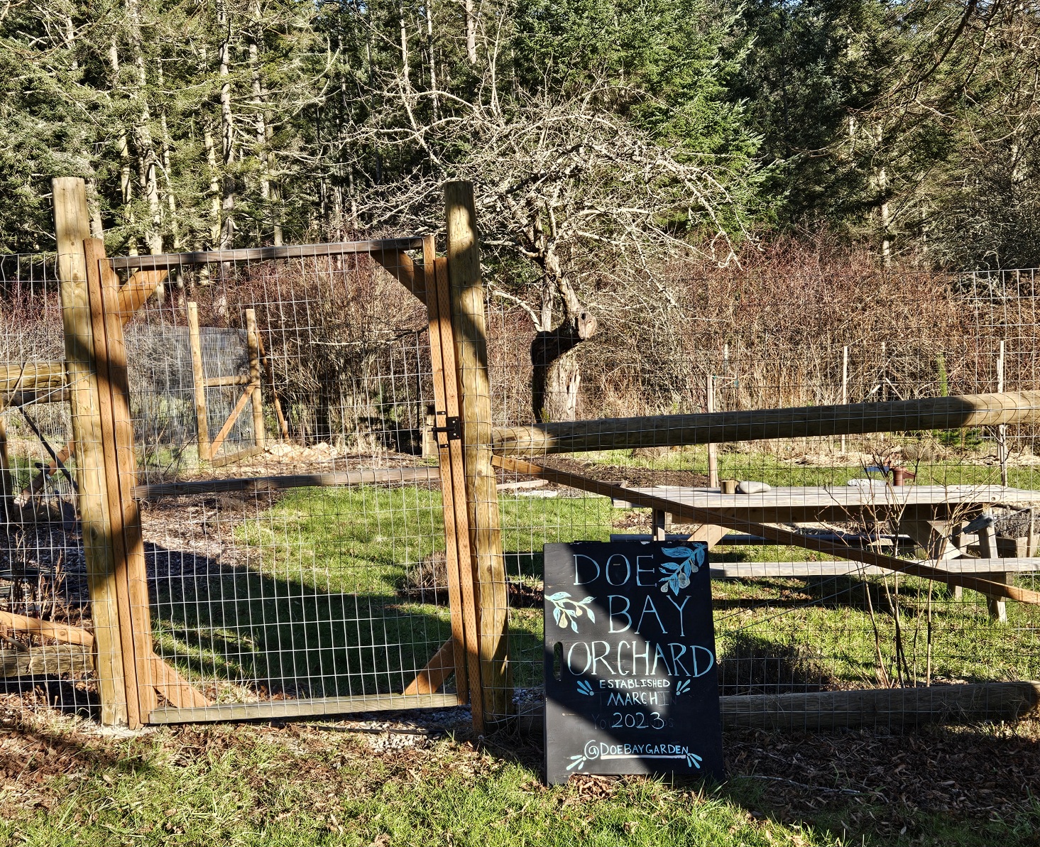
Image:Gardenview.jpg|alt="view from garden"|view from the garden | Image:Gardenview.jpg|alt="view from garden"|view from the garden | ||
Image:Holt-orchard-stage.jpg|alt=""|villages and open camping area, maker stage | Image:Holt-orchard-stage.jpg|alt=""|villages and open camping area, maker stage | ||
| Line 96: | Line 89: | ||
| − | === The Point, Otter Cove, Beach === | + | === Nature District: The Point, Otter Cove, Beach === |
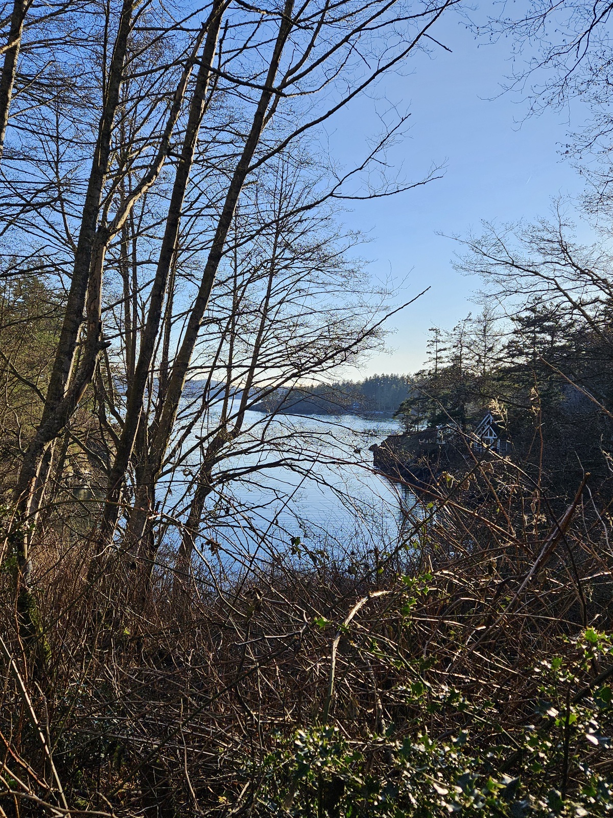
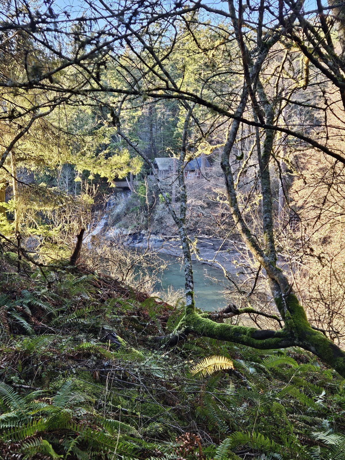
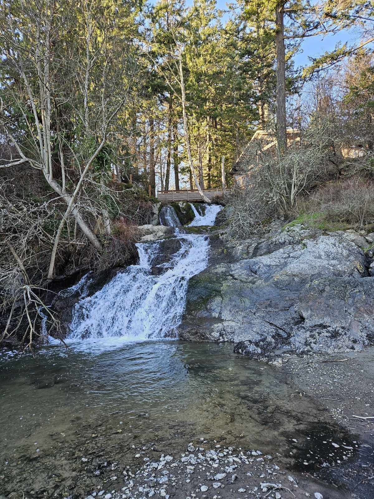
<gallery caption="Point trail" mode=packed heights=250px style="border: dashed thin"> | <gallery caption="Point trail" mode=packed heights=250px style="border: dashed thin"> | ||
Image:Thepointtrail1.jpg|alt="point trail"|view of Otter Cove from trail | Image:Thepointtrail1.jpg|alt="point trail"|view of Otter Cove from trail | ||
| Line 128: | Line 121: | ||
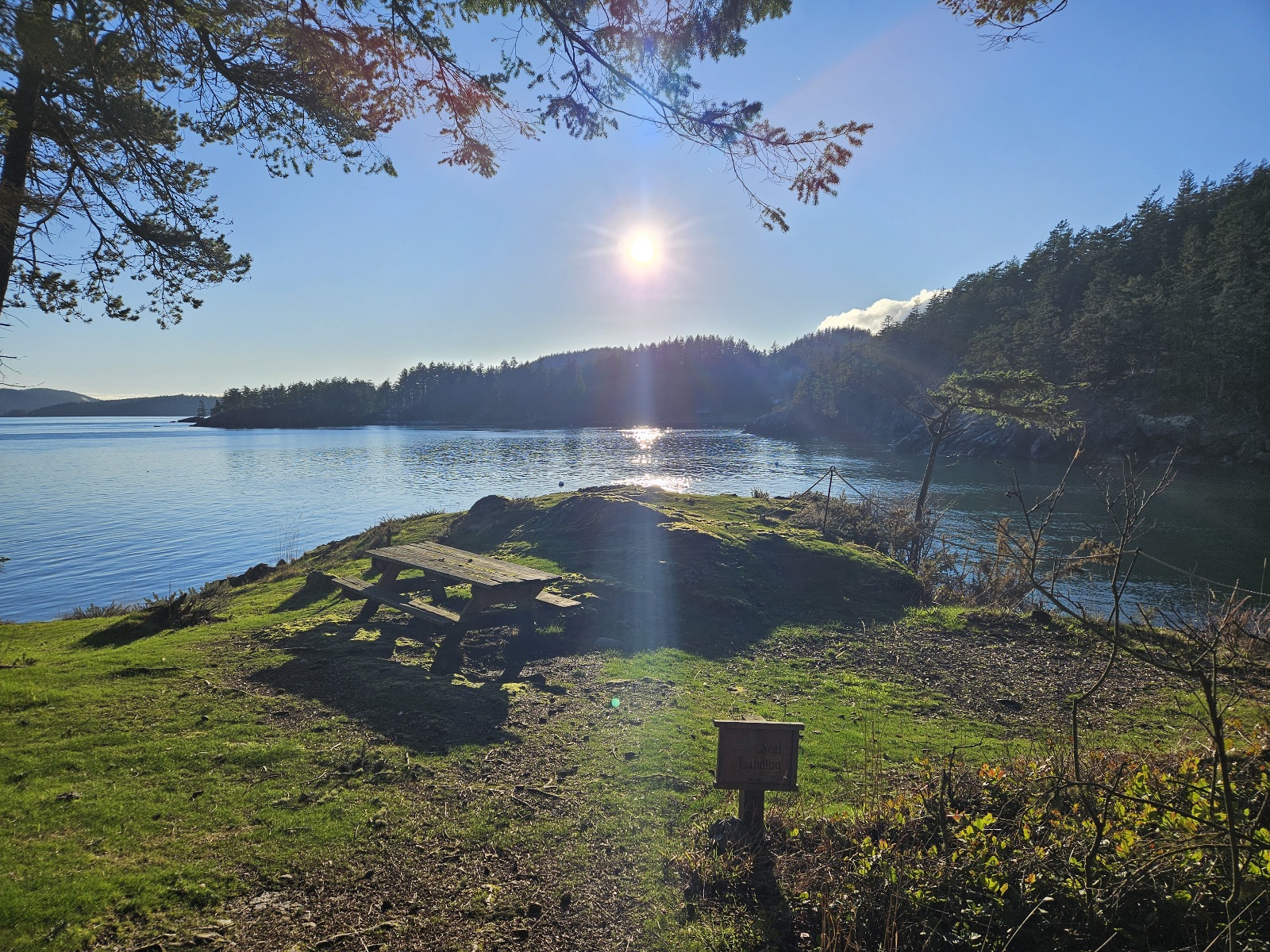
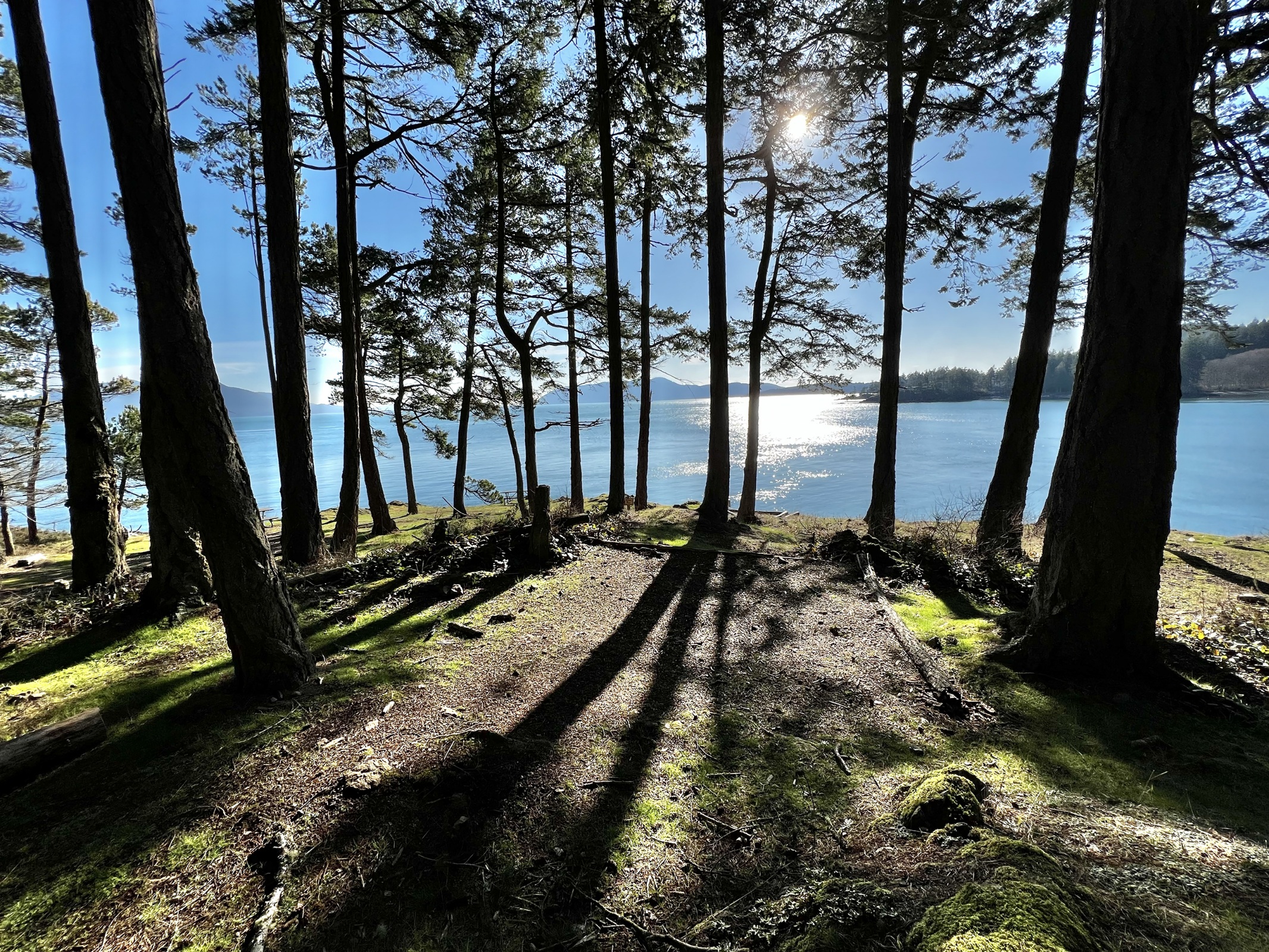
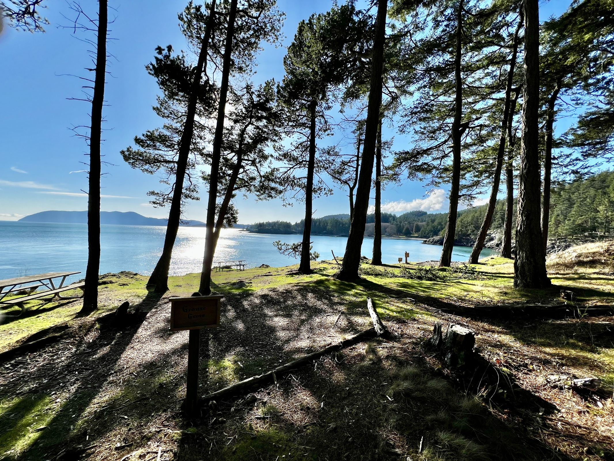
| − | <gallery caption="point campsites / | + | <gallery caption="point campsites / Nature District" mode=packed heights=250px style="border: dashed thin"> |
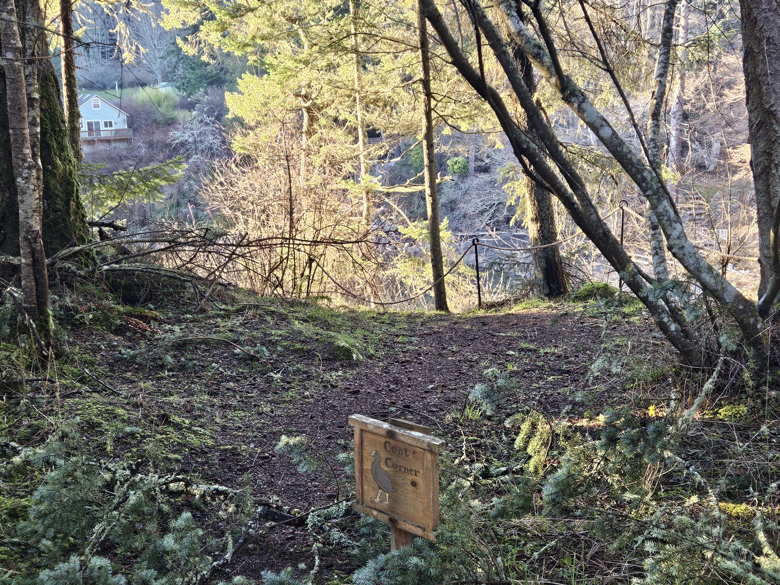
Image:Cootcorner.jpg|alt="Coot Corner"|Coot Corner | Image:Cootcorner.jpg|alt="Coot Corner"|Coot Corner | ||
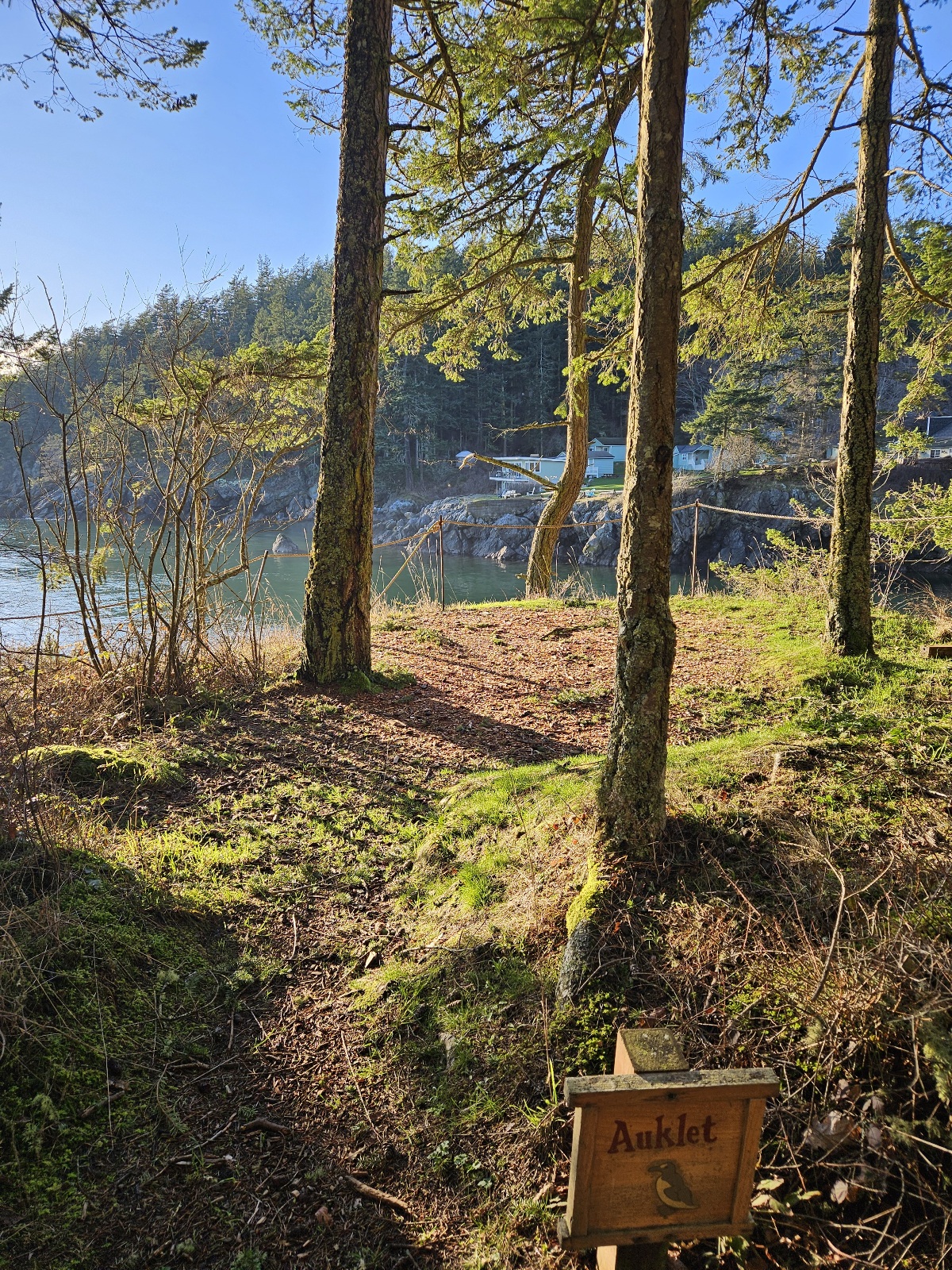
Image:Auklet.jpg|alt="Auklet"|Auklet | Image:Auklet.jpg|alt="Auklet"|Auklet | ||
| Line 137: | Line 130: | ||
| − | <gallery caption="Ganesh Way" mode=packed heights=250px style="border: dashed thin"> | + | <gallery caption="Ganesh Way sites" mode=packed heights=250px style="border: dashed thin"> |
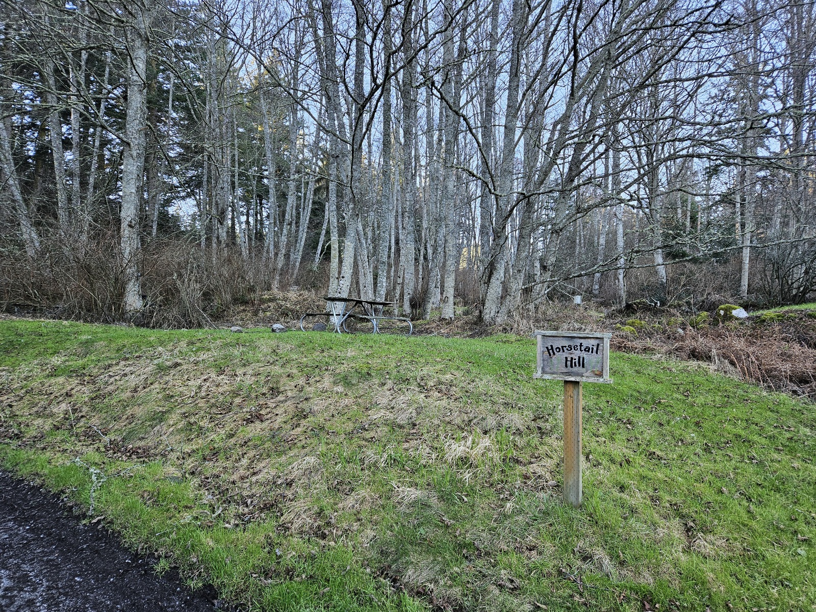
Image:Horsetailhill.jpg|alt="Horsetail hill"|Horsetail Hill campsite | Image:Horsetailhill.jpg|alt="Horsetail hill"|Horsetail Hill campsite | ||
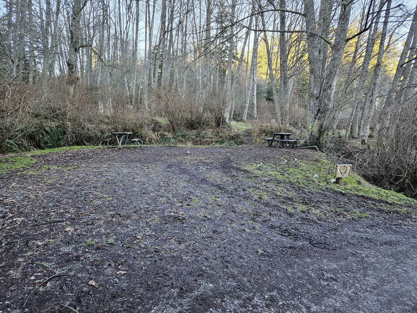
Image:Caribou.jpg|alt="Caribou"|Caribou drive-in site | Image:Caribou.jpg|alt="Caribou"|Caribou drive-in site | ||
| Line 152: | Line 145: | ||
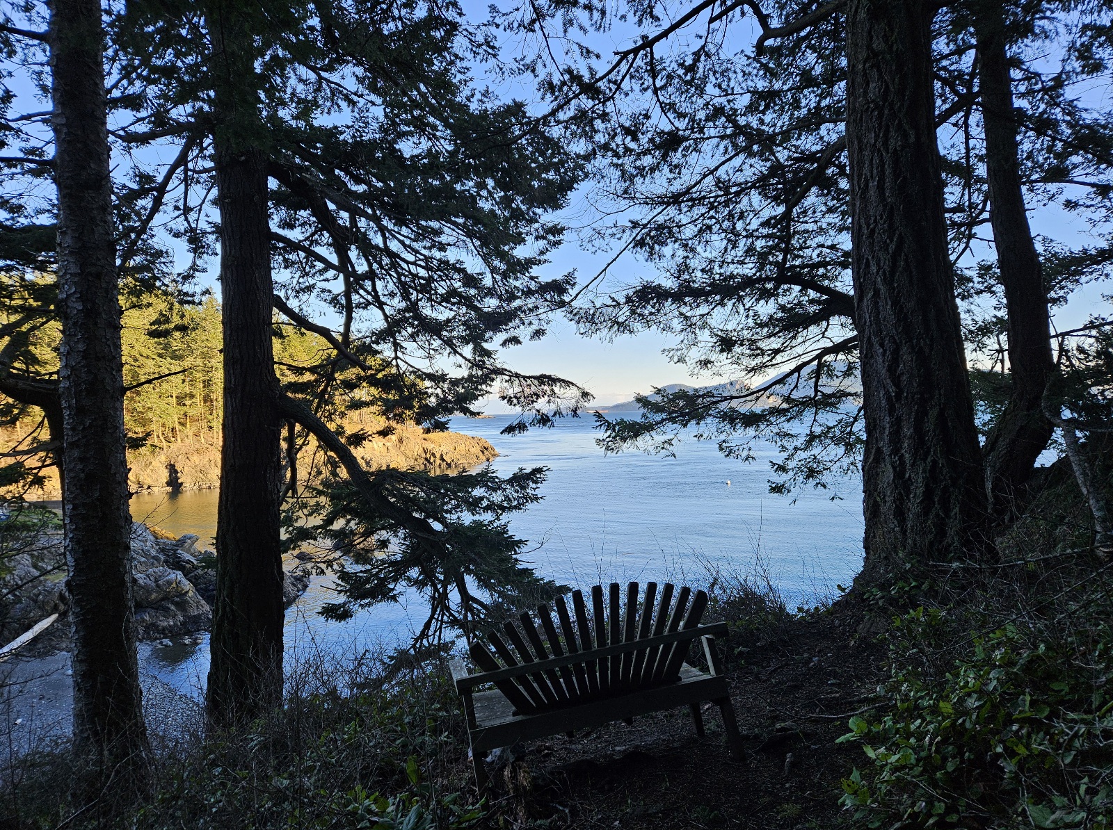
| − | <gallery caption="lower field / | + | <gallery caption="lower field / Social District" mode=packed heights=250px style="border: dashed thin"> |
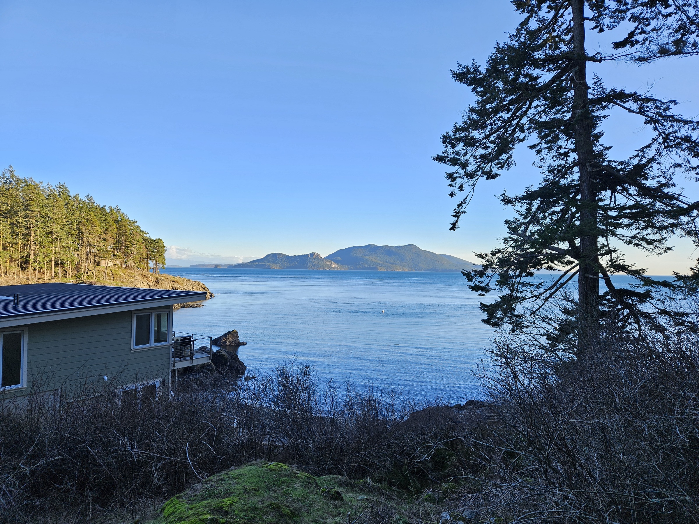
Image:Blakeley.jpg|alt=""|view from Blakely | Image:Blakeley.jpg|alt=""|view from Blakely | ||
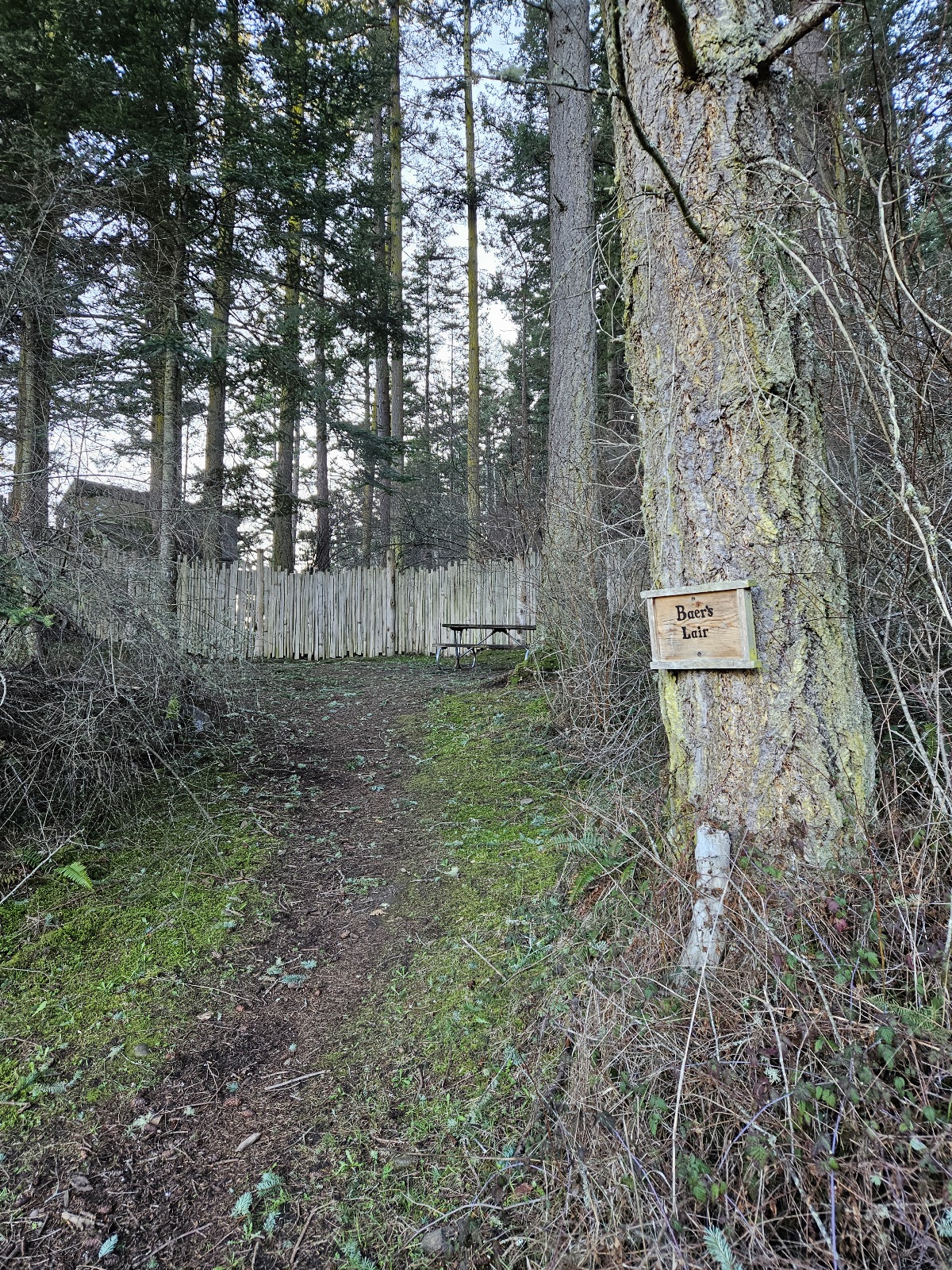
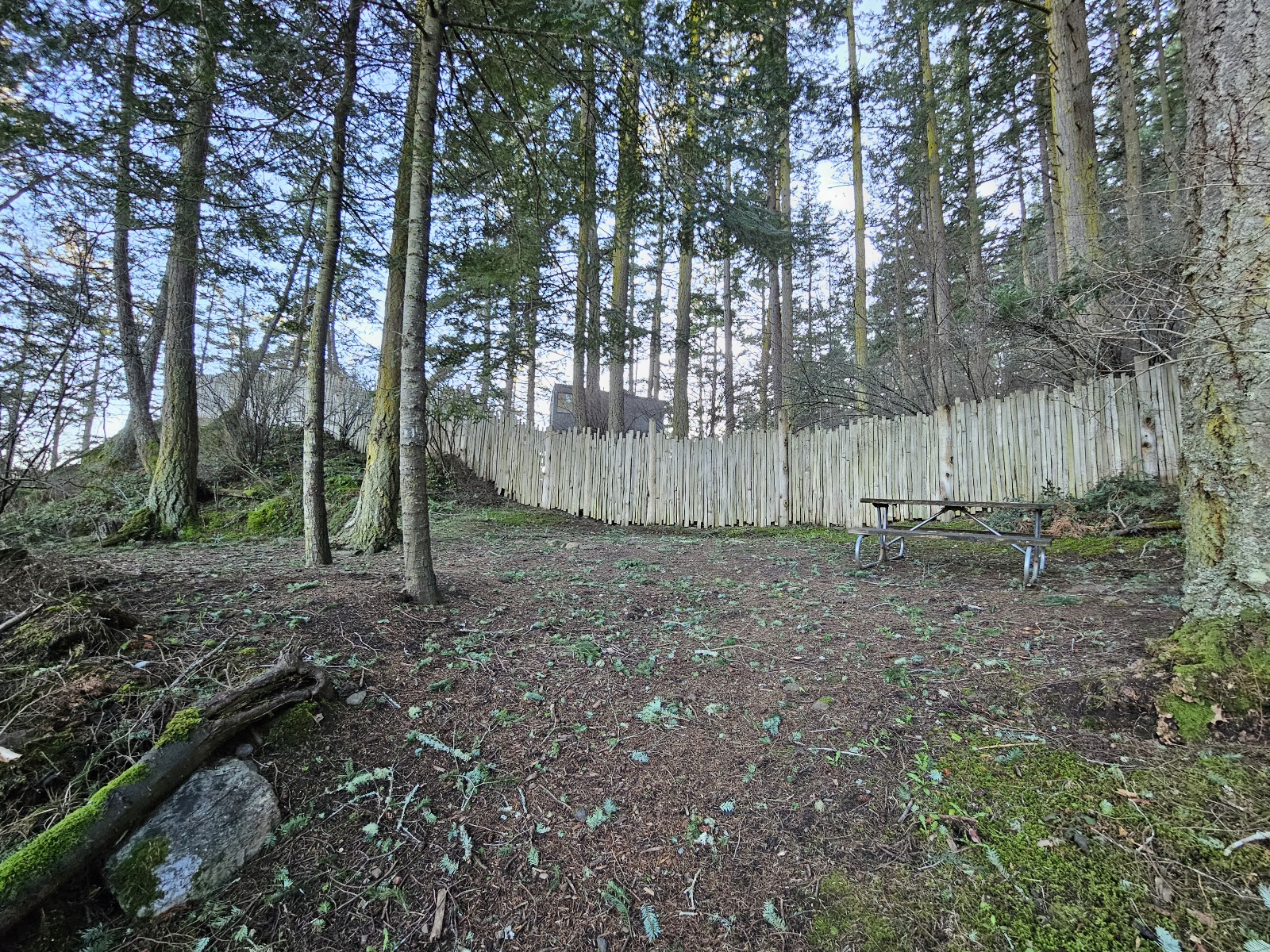
Image:Baerslair1.jpg|alt="Baer's Lair"|Baer's Lair campsite | Image:Baerslair1.jpg|alt="Baer's Lair"|Baer's Lair campsite | ||
| Line 164: | Line 157: | ||
=== Misc === | === Misc === | ||
| − | <gallery | + | <gallery mode=packed heights=250px style="border: dashed thin"> |
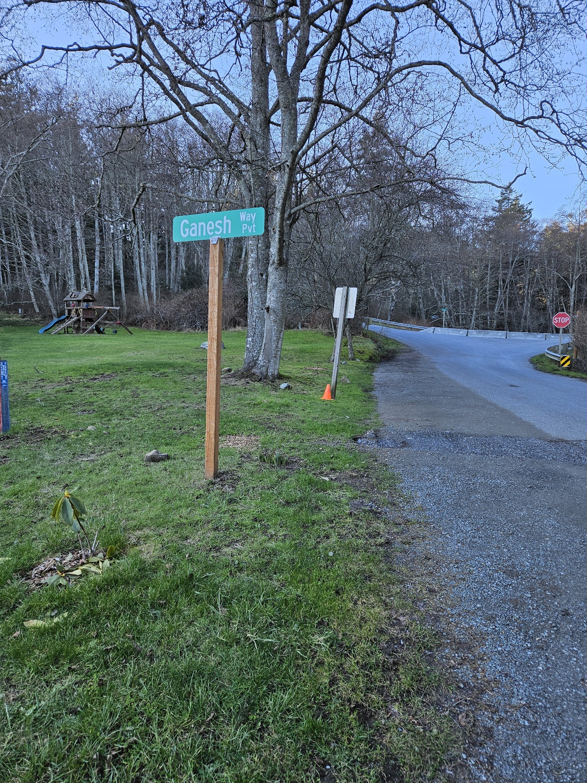
| + | Image:Ganesh.jpg|alt="reg"|Doe Bay entrance, where Reg tent is | ||
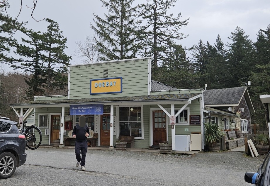
| + | Image:Storecafe.jpg|alt="Doe Bay store"|Doe Bay Store and Cafe | ||
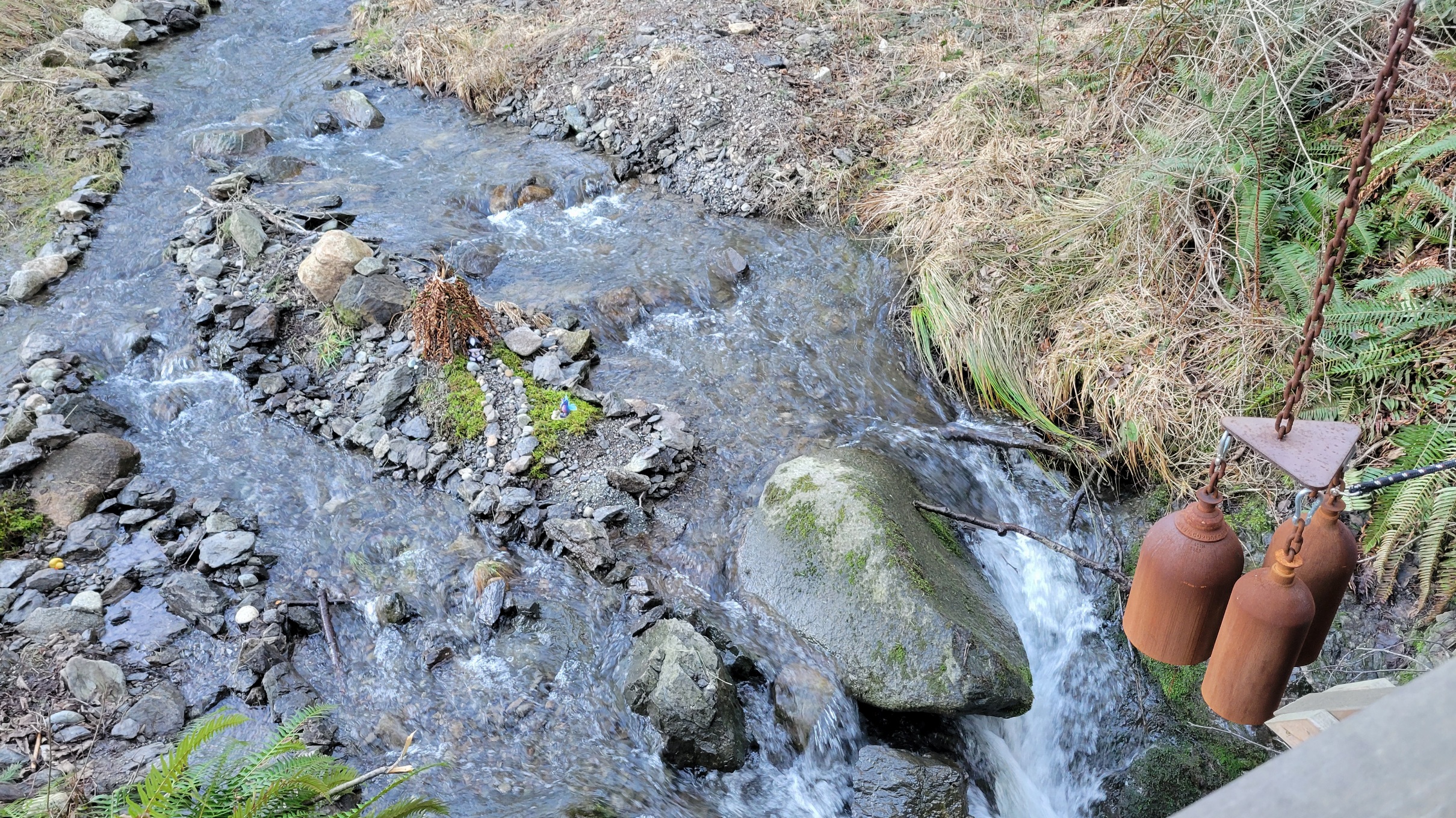
Image:Bells.jpg|alt="bridge bells"|bells | Image:Bells.jpg|alt="bridge bells"|bells | ||
Image:Deer.jpg|alt="deer"|doe, a deer | Image:Deer.jpg|alt="deer"|doe, a deer | ||
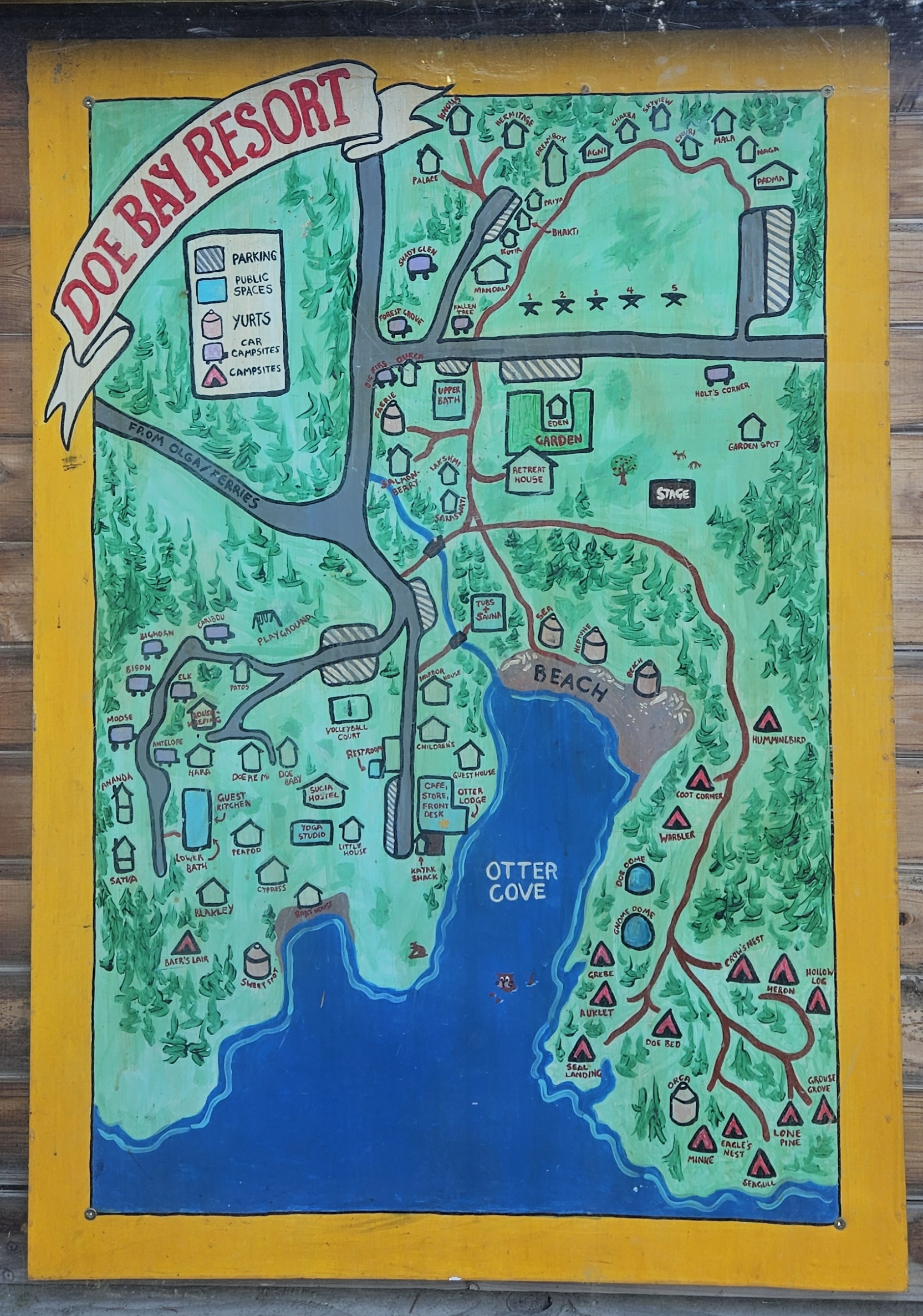
| + | Image:Doebaydrawing.jpg|alt="old Doe Bay map" | ||
</gallery> | </gallery> | ||
Revision as of 22:41, 23 February 2024
Site Photos
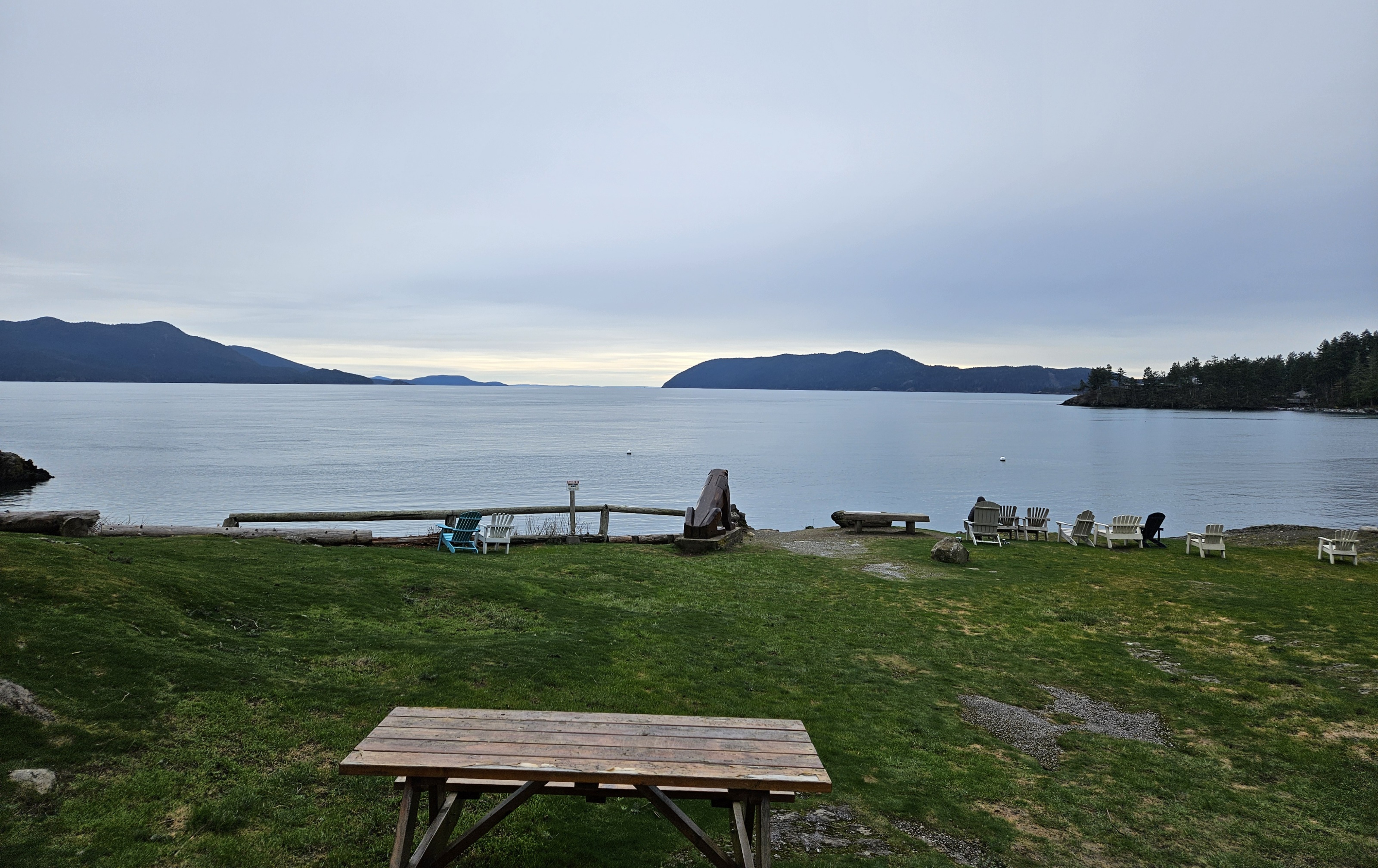
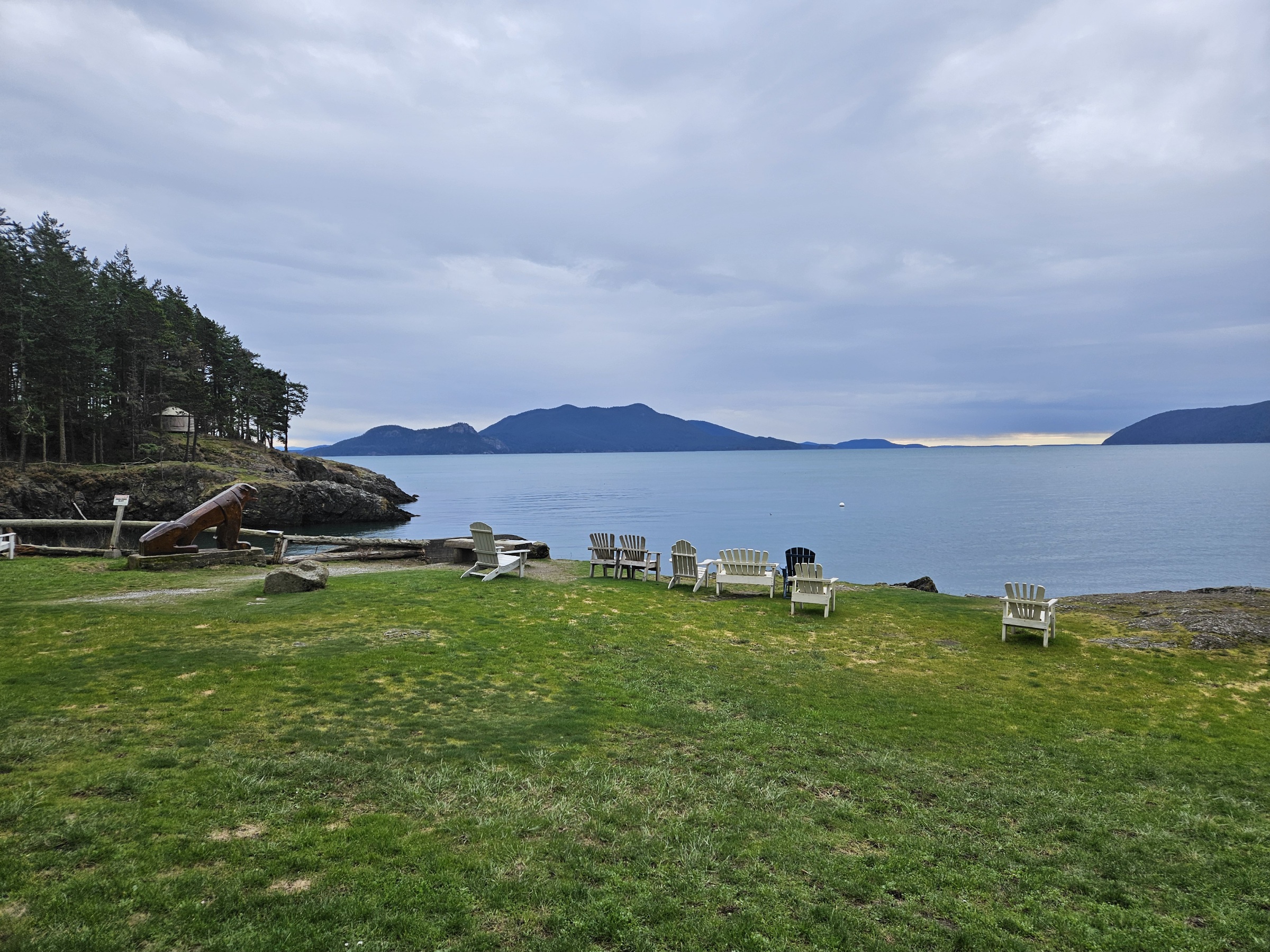
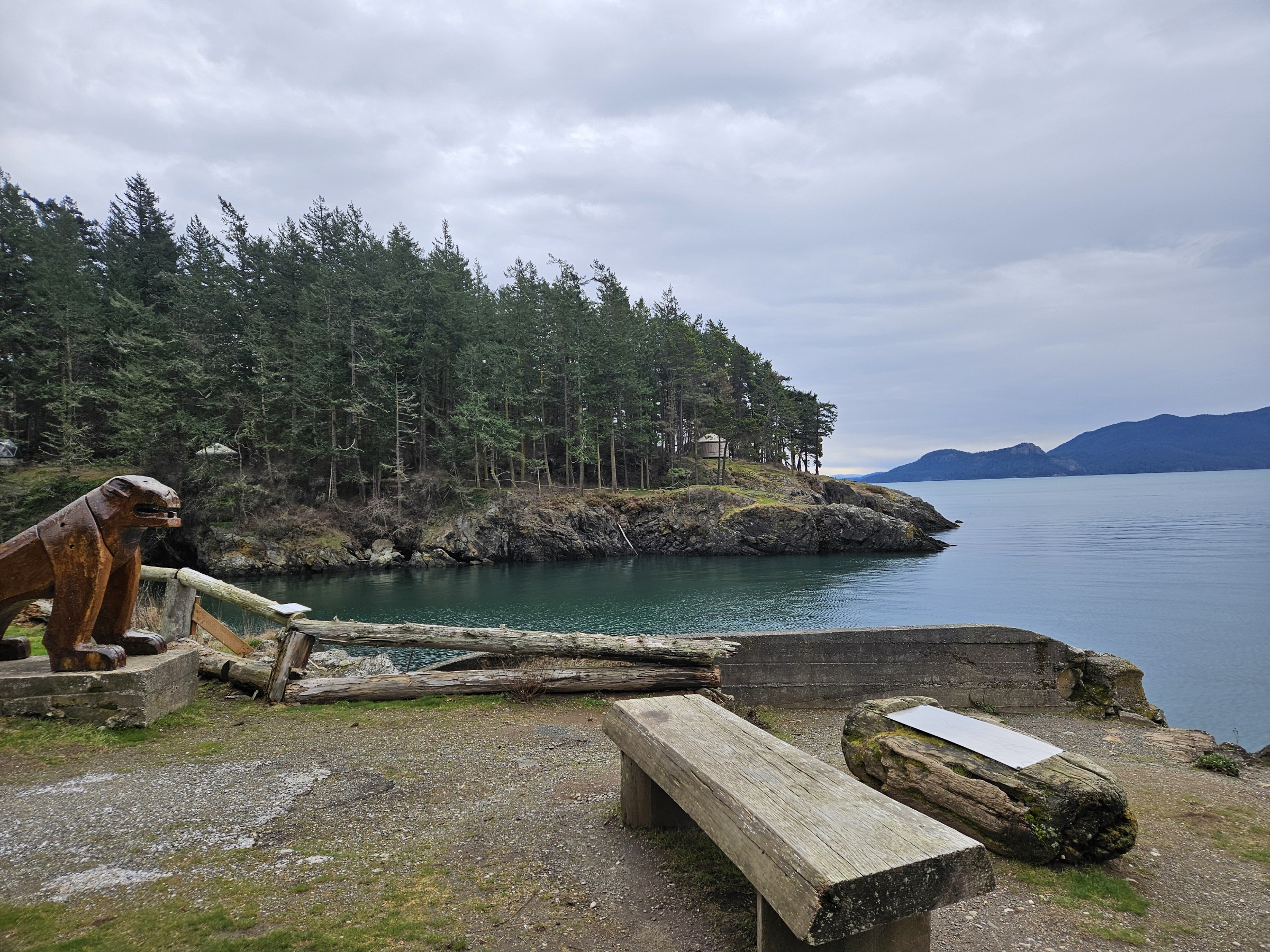
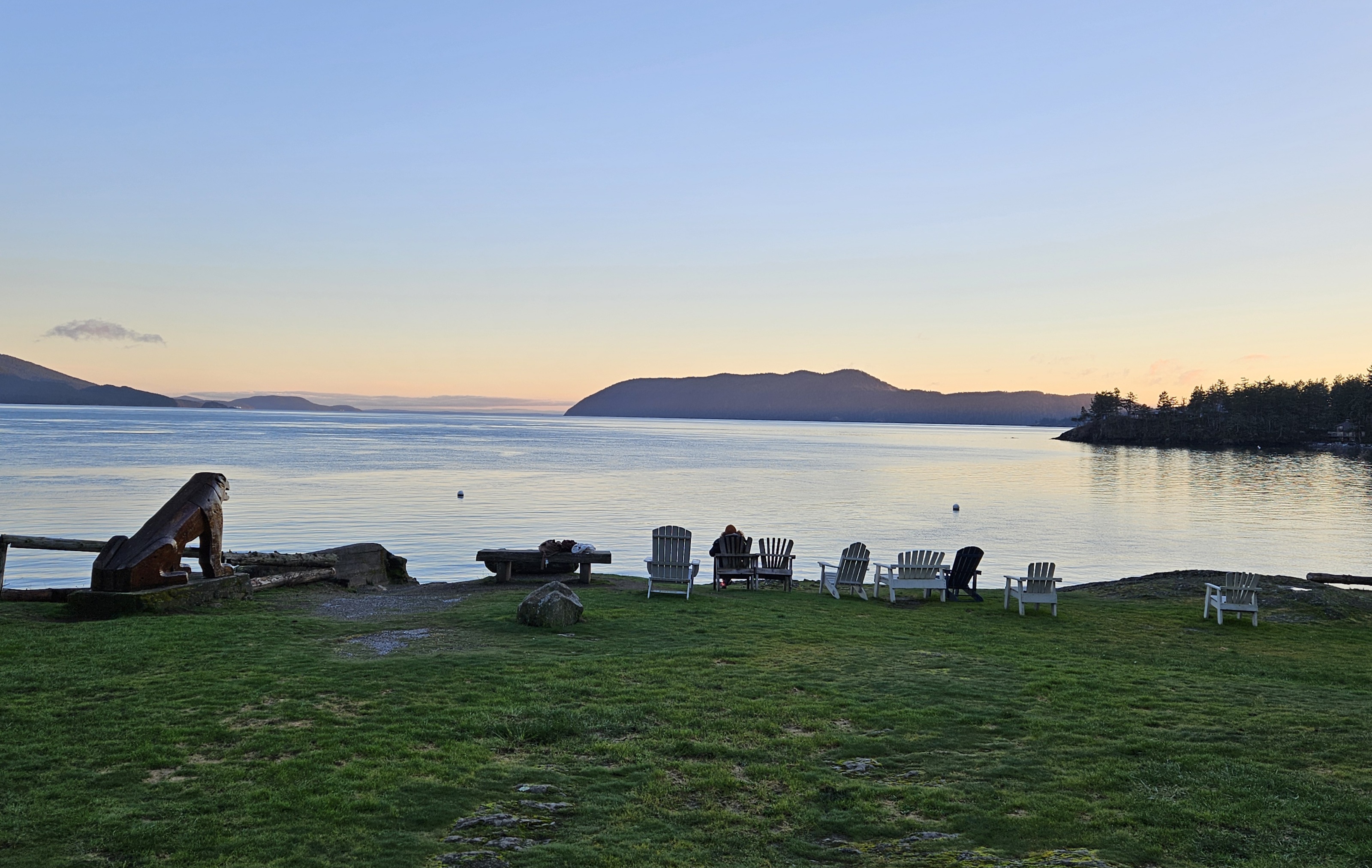
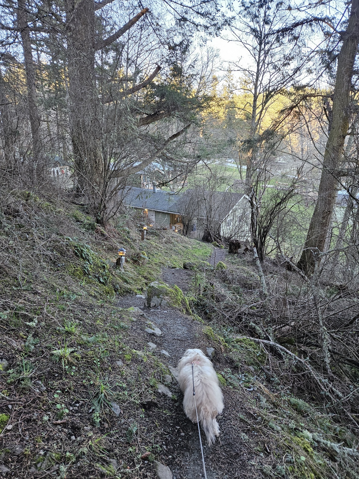
Photos of Doe Bay from site visit in February 2024 mostly taken by zarkle.
Doe Bay
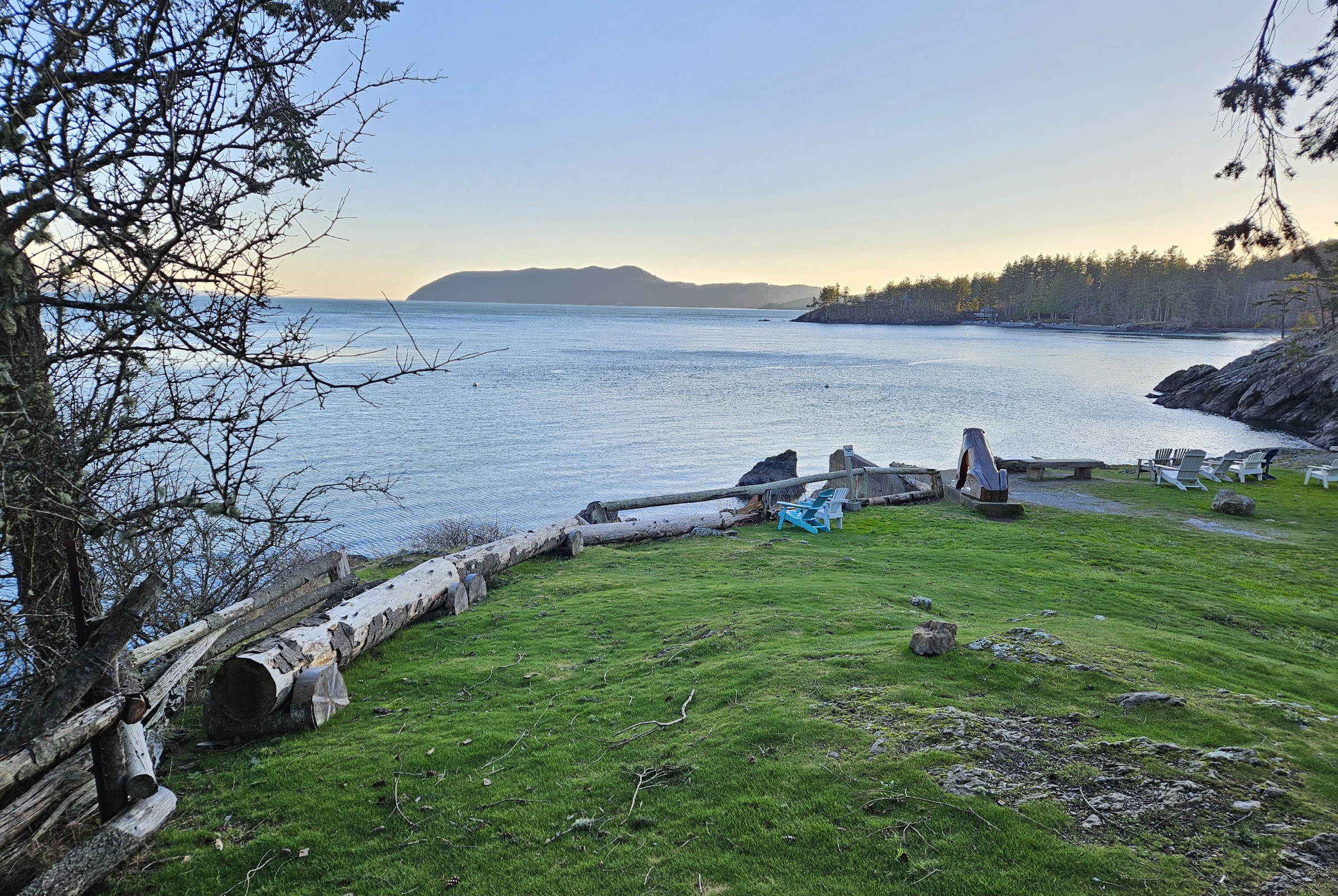
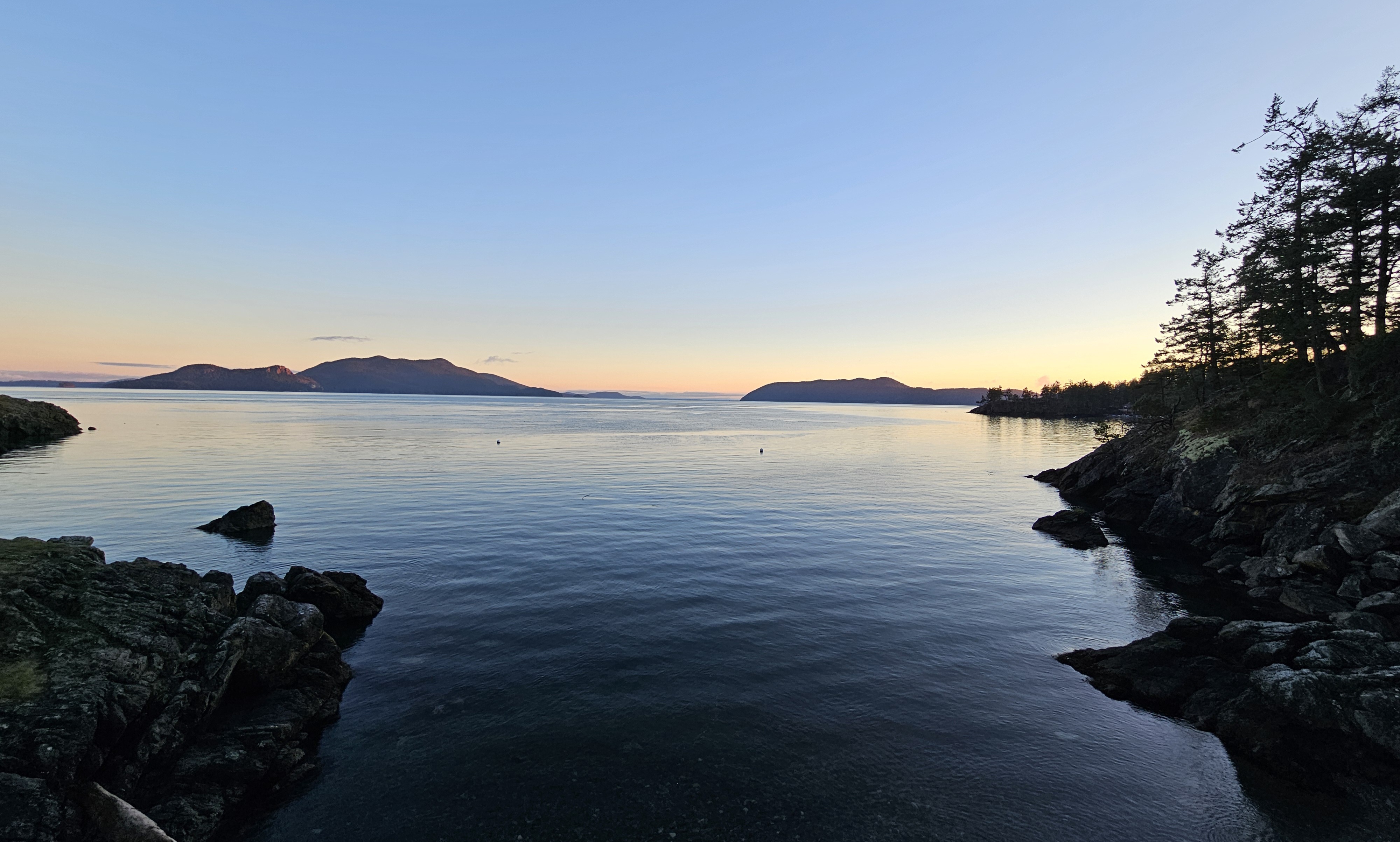
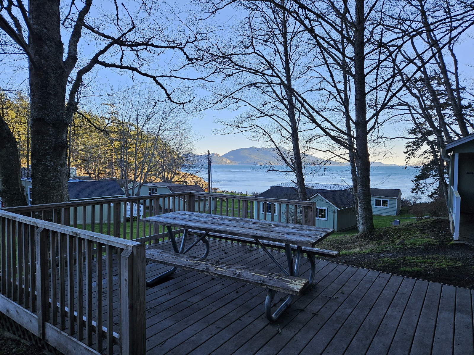
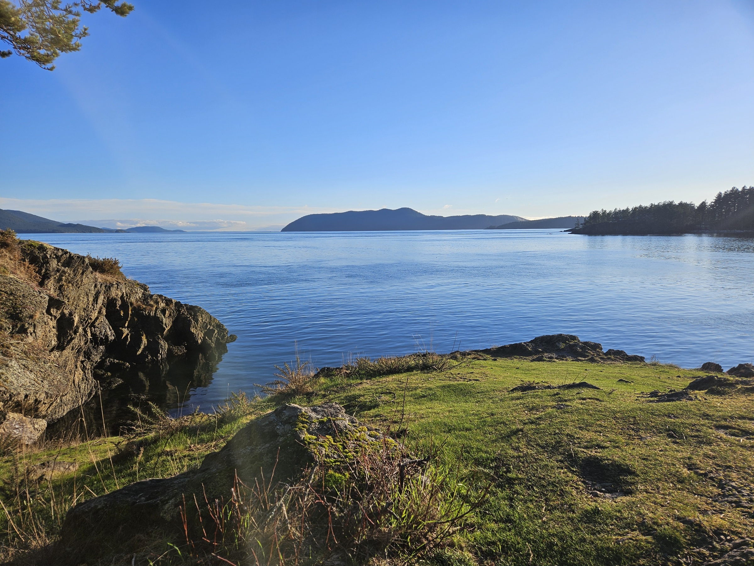
- This view never gets old!
- Boathouse
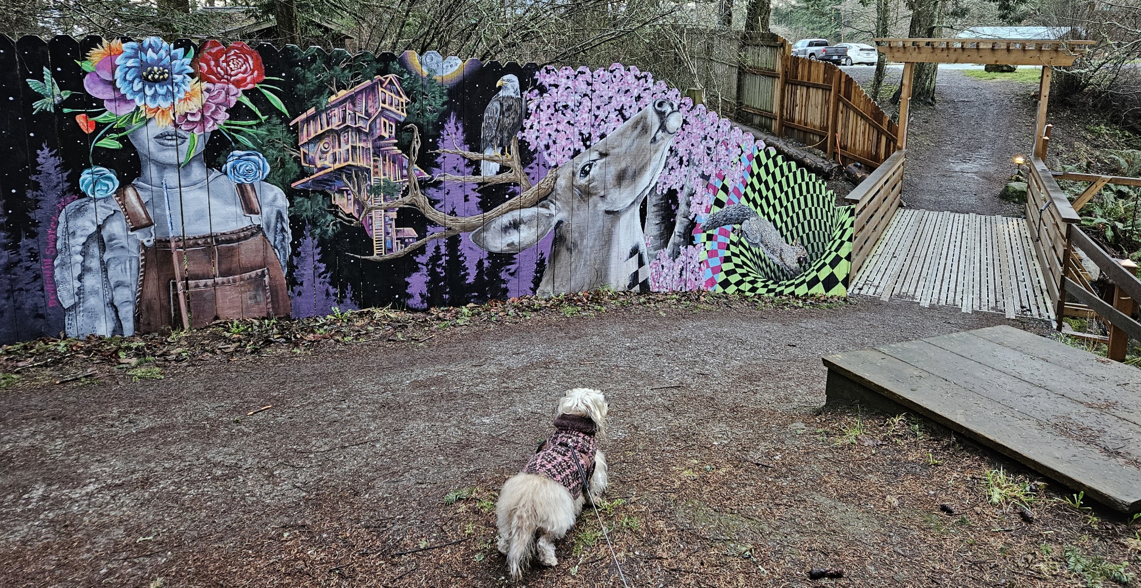
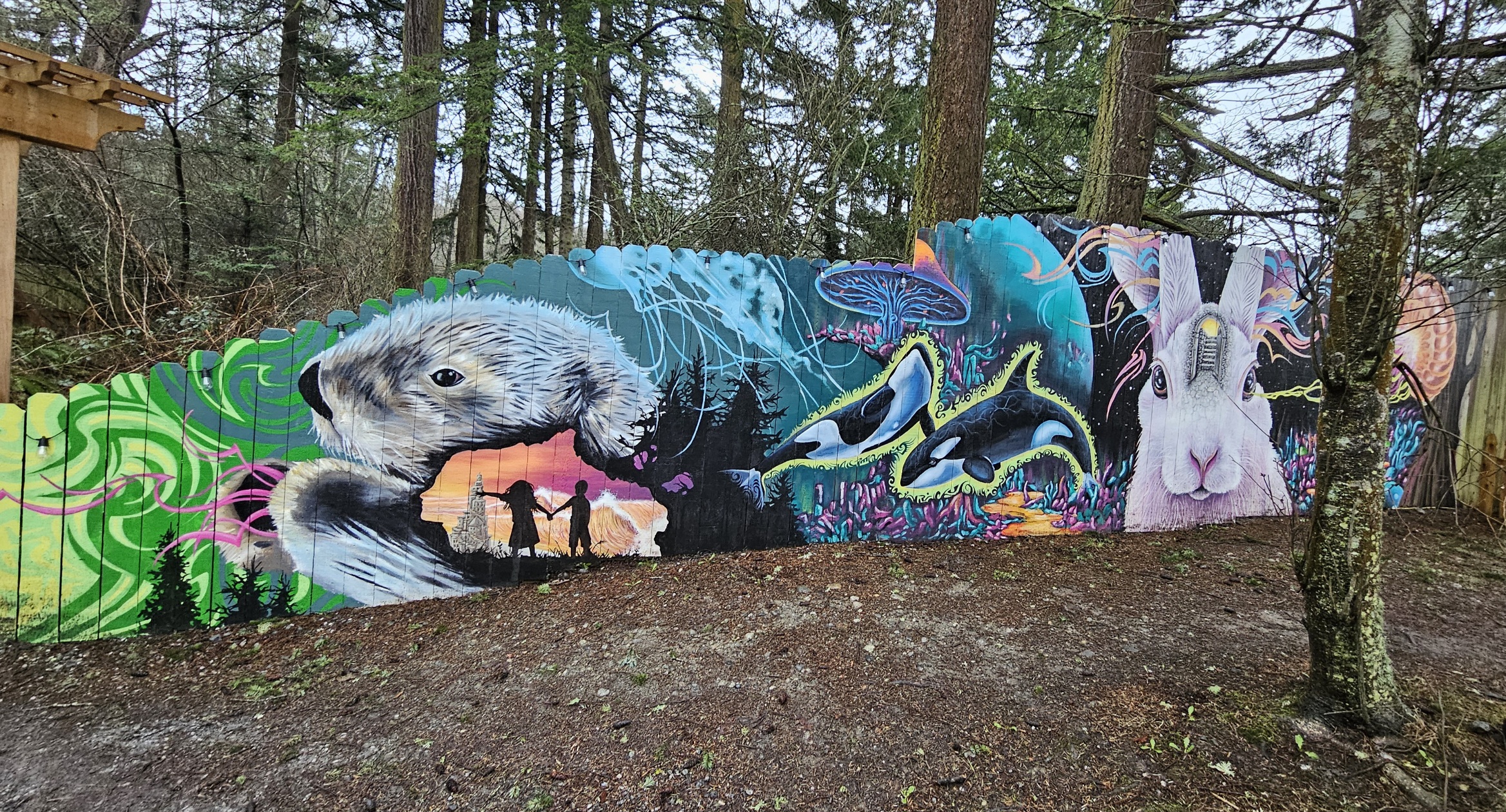
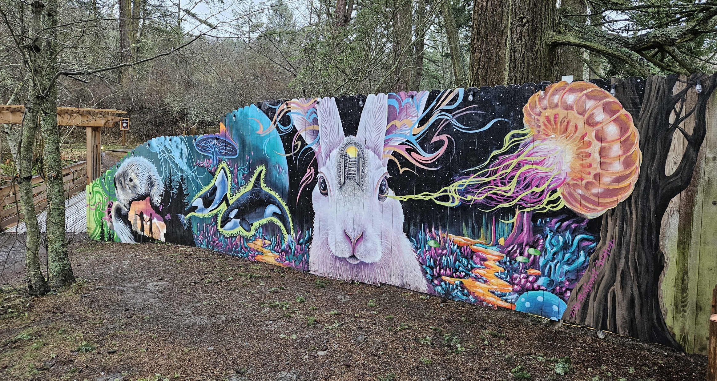
- new mural!
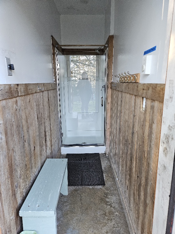
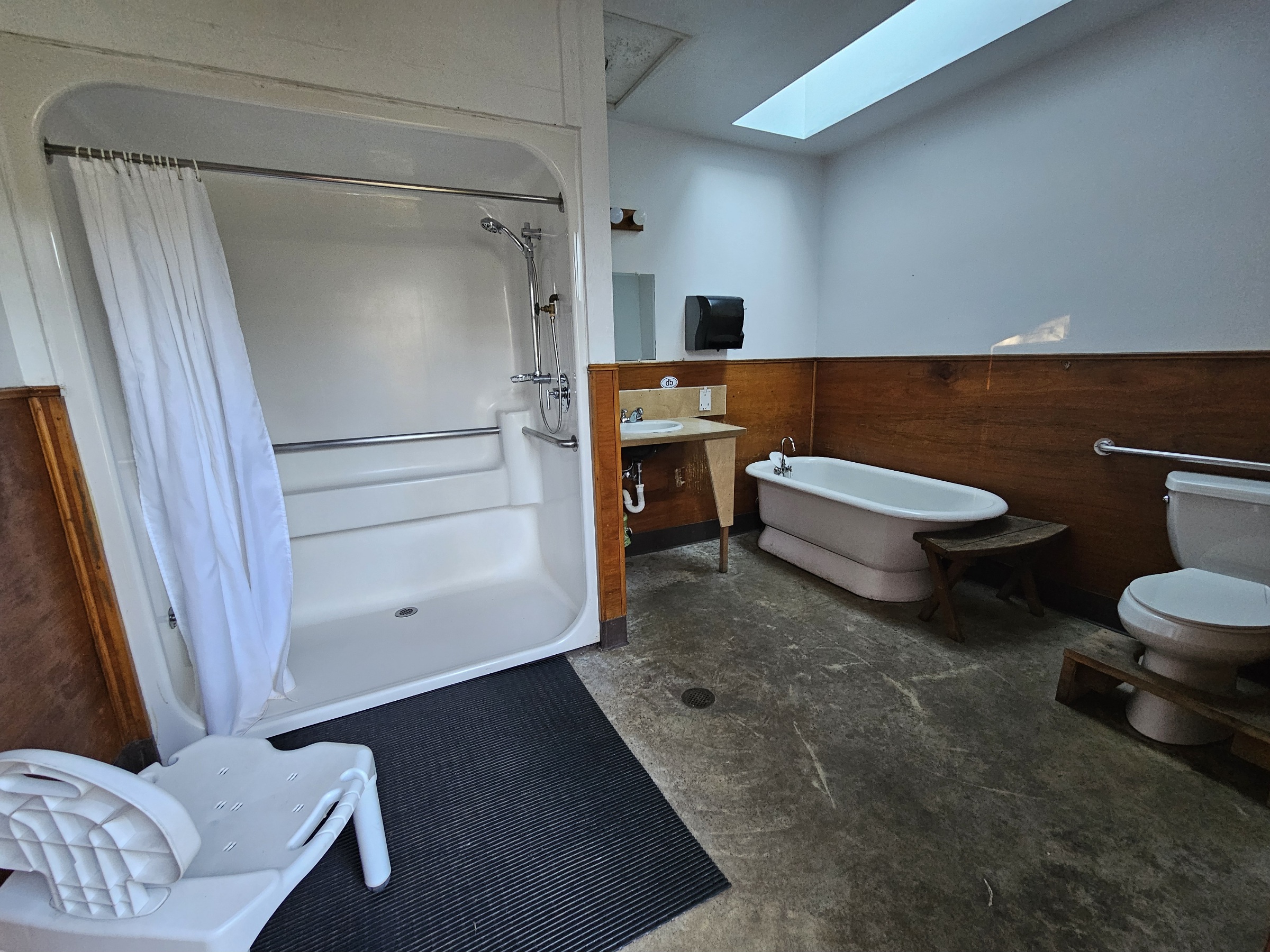
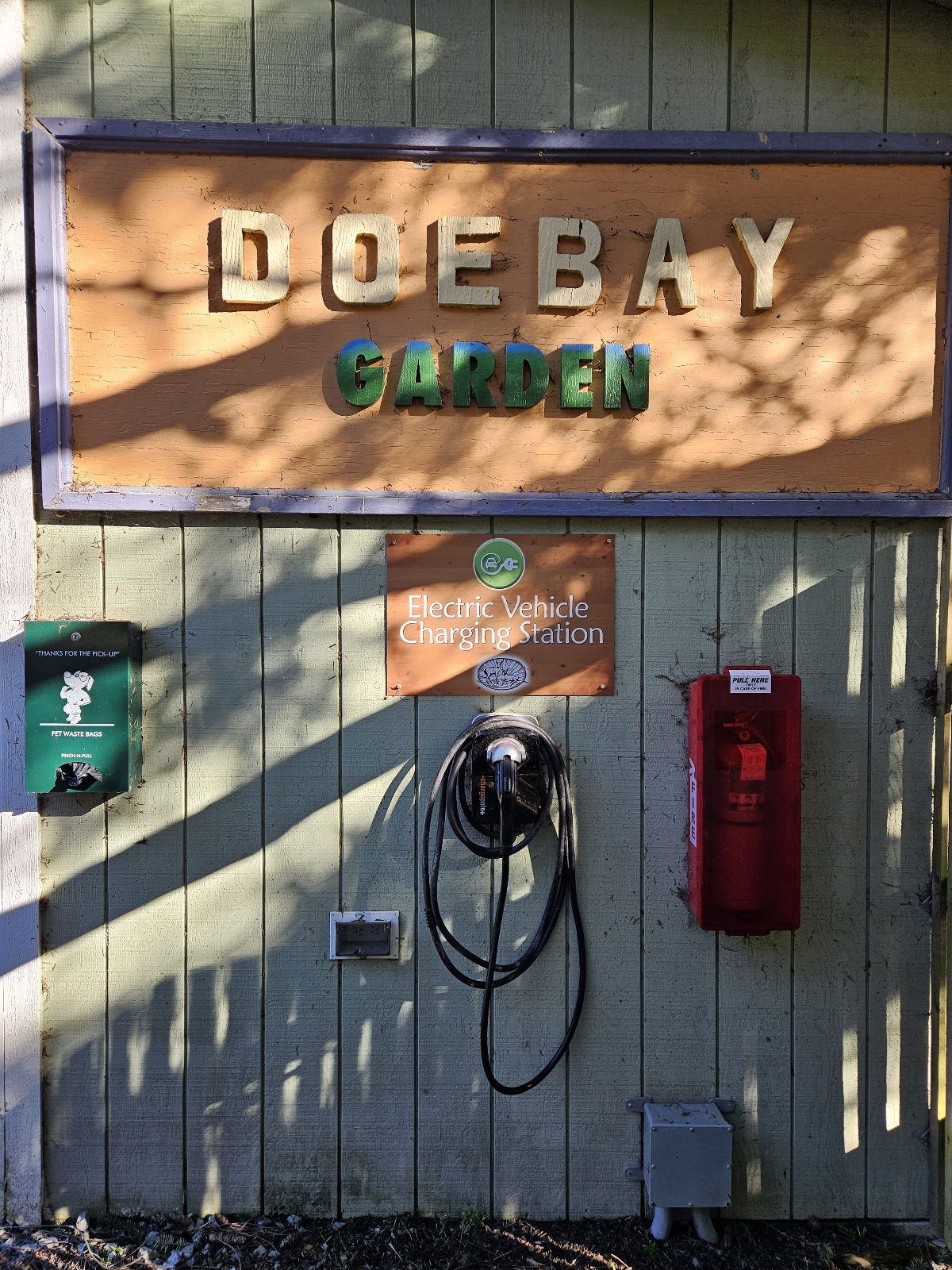
Amenities
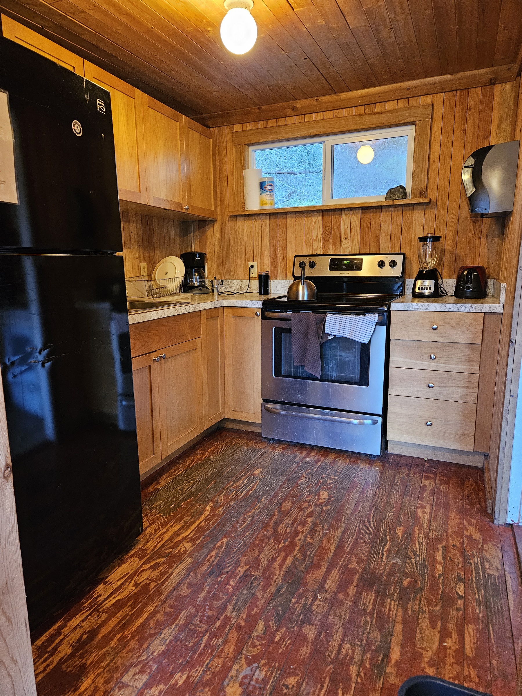
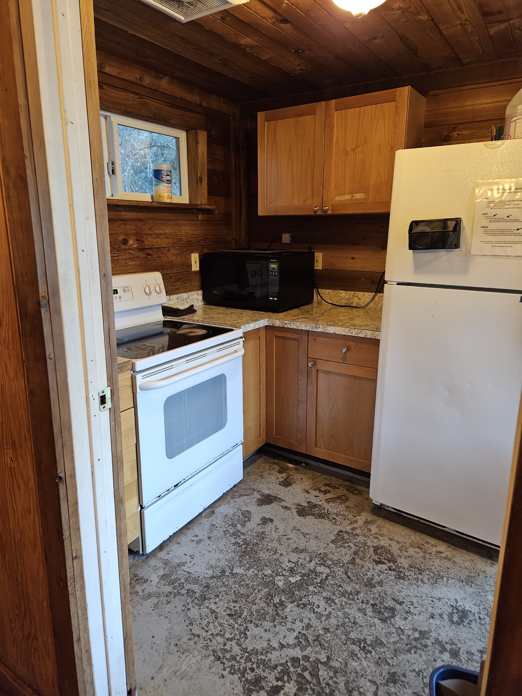
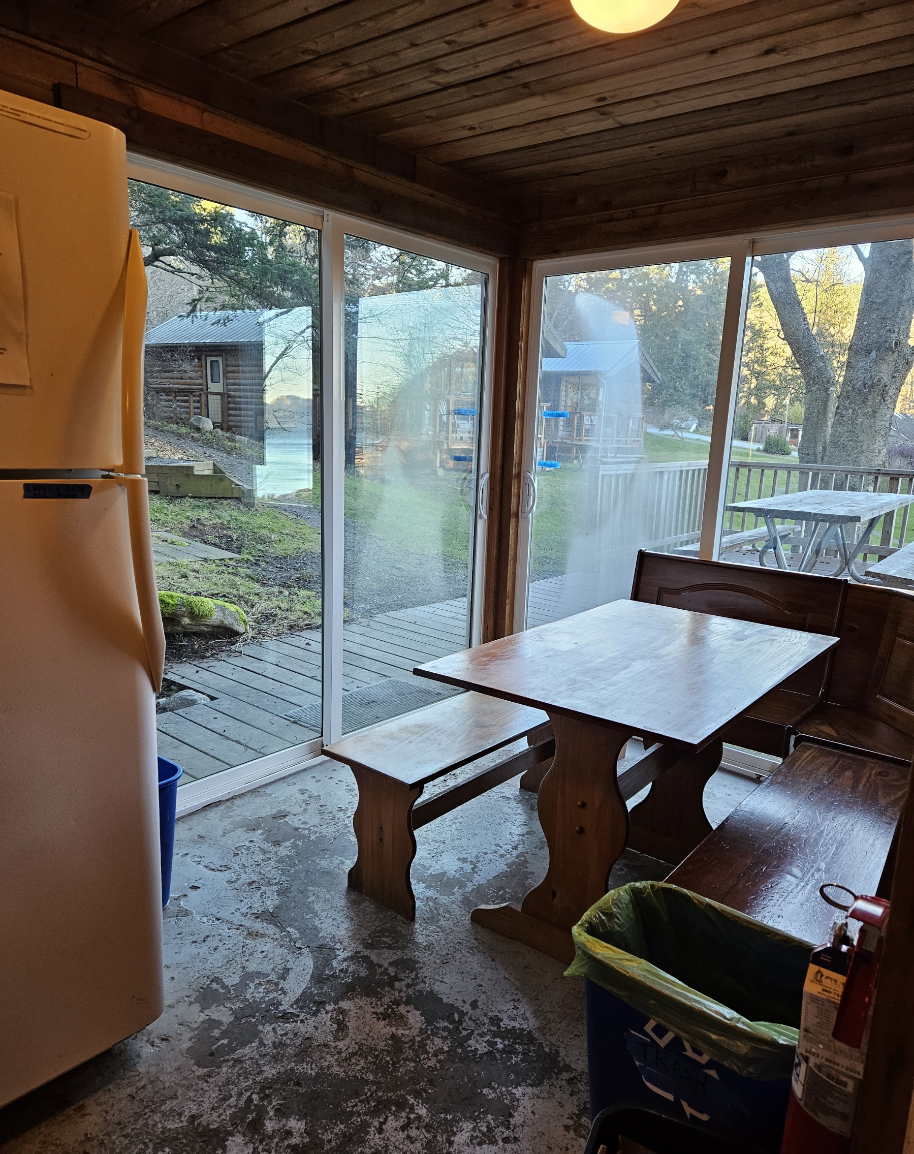
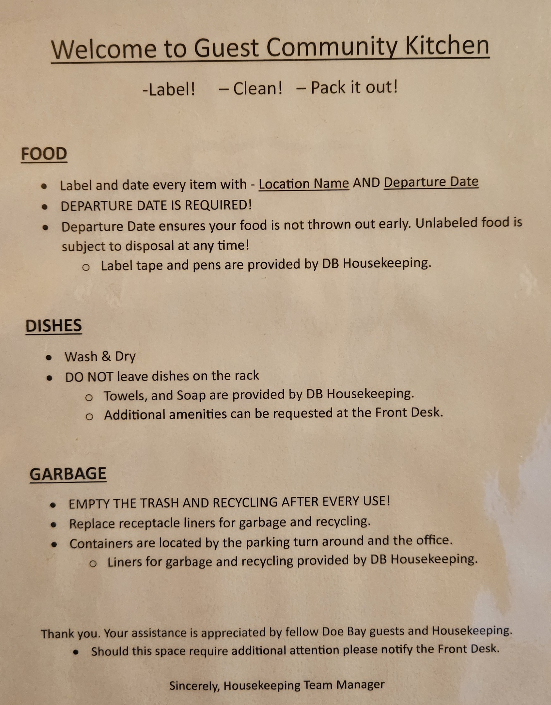
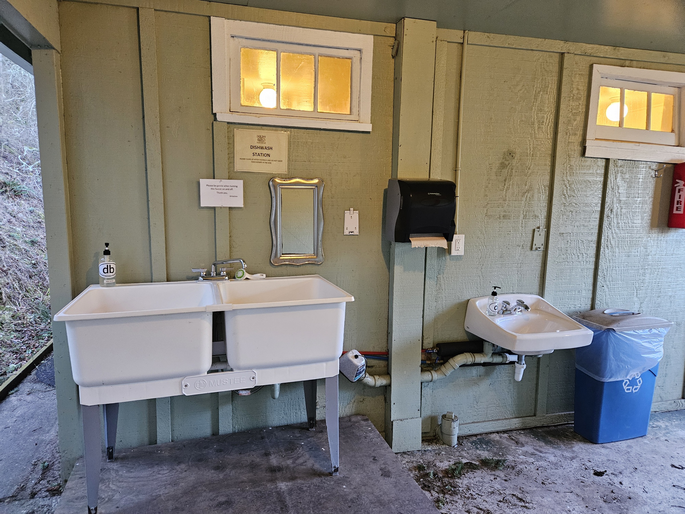
- Guest Kitchen
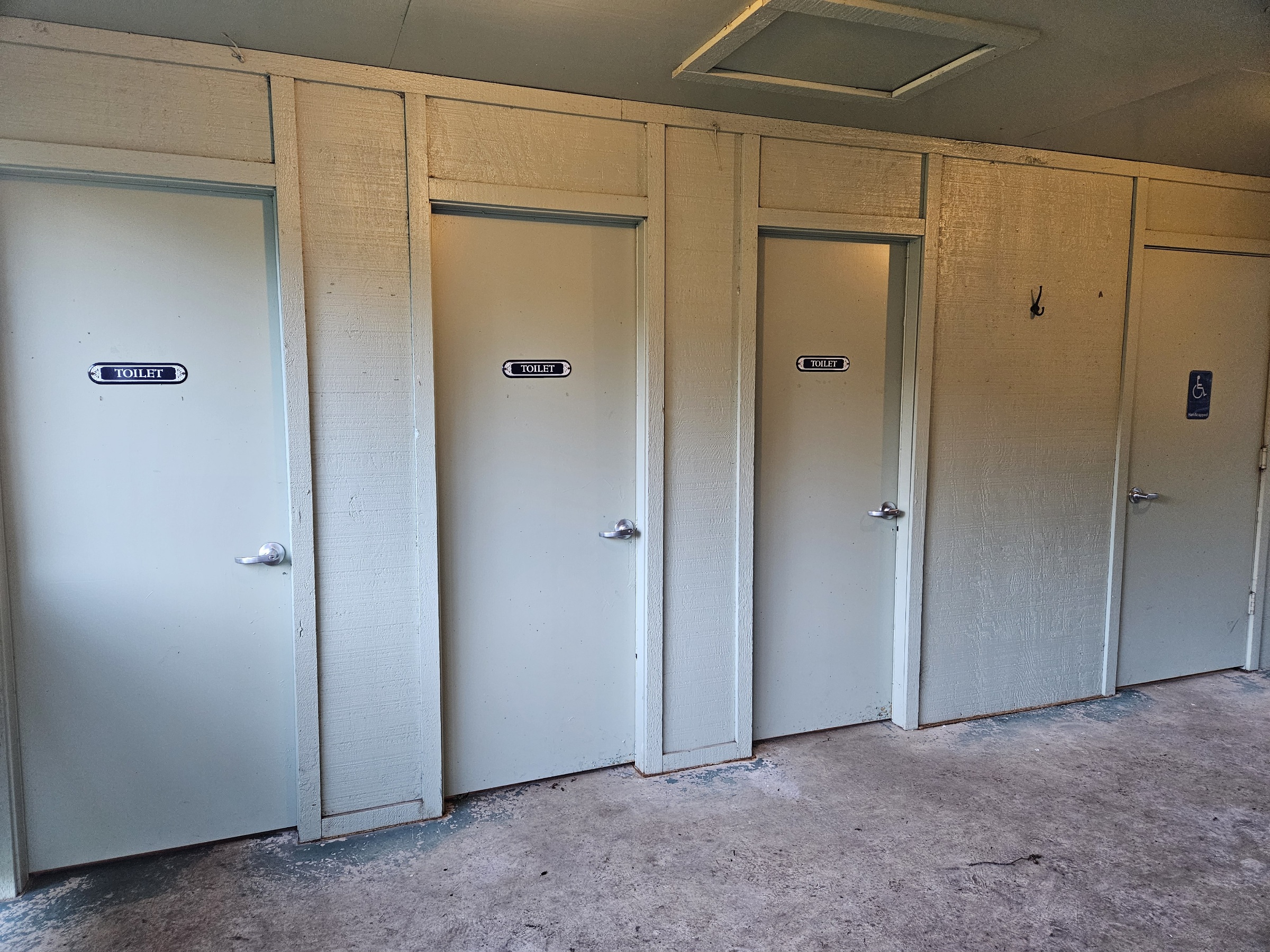
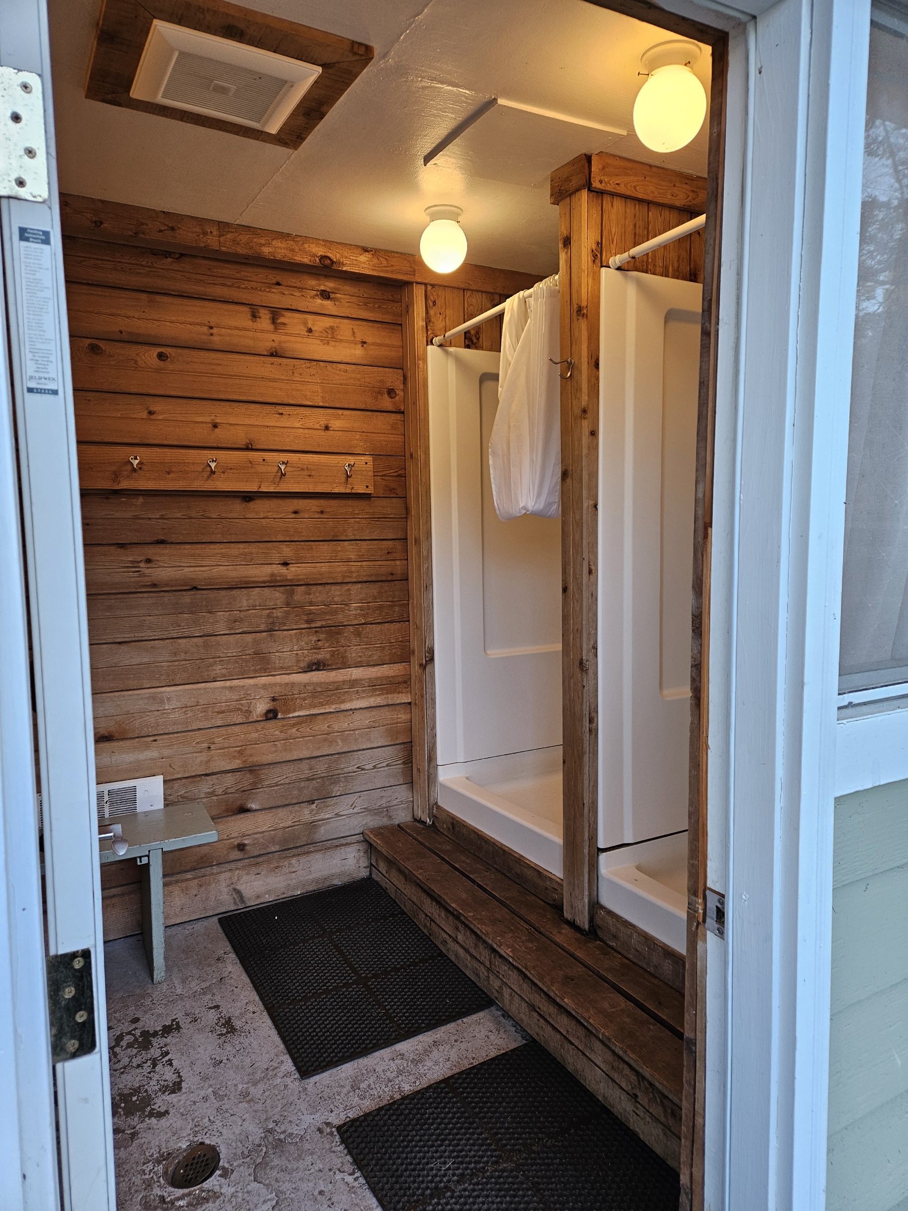
- Lower Bath
- Upper Bath
- EV charger
Prime District
- Prime Dome field
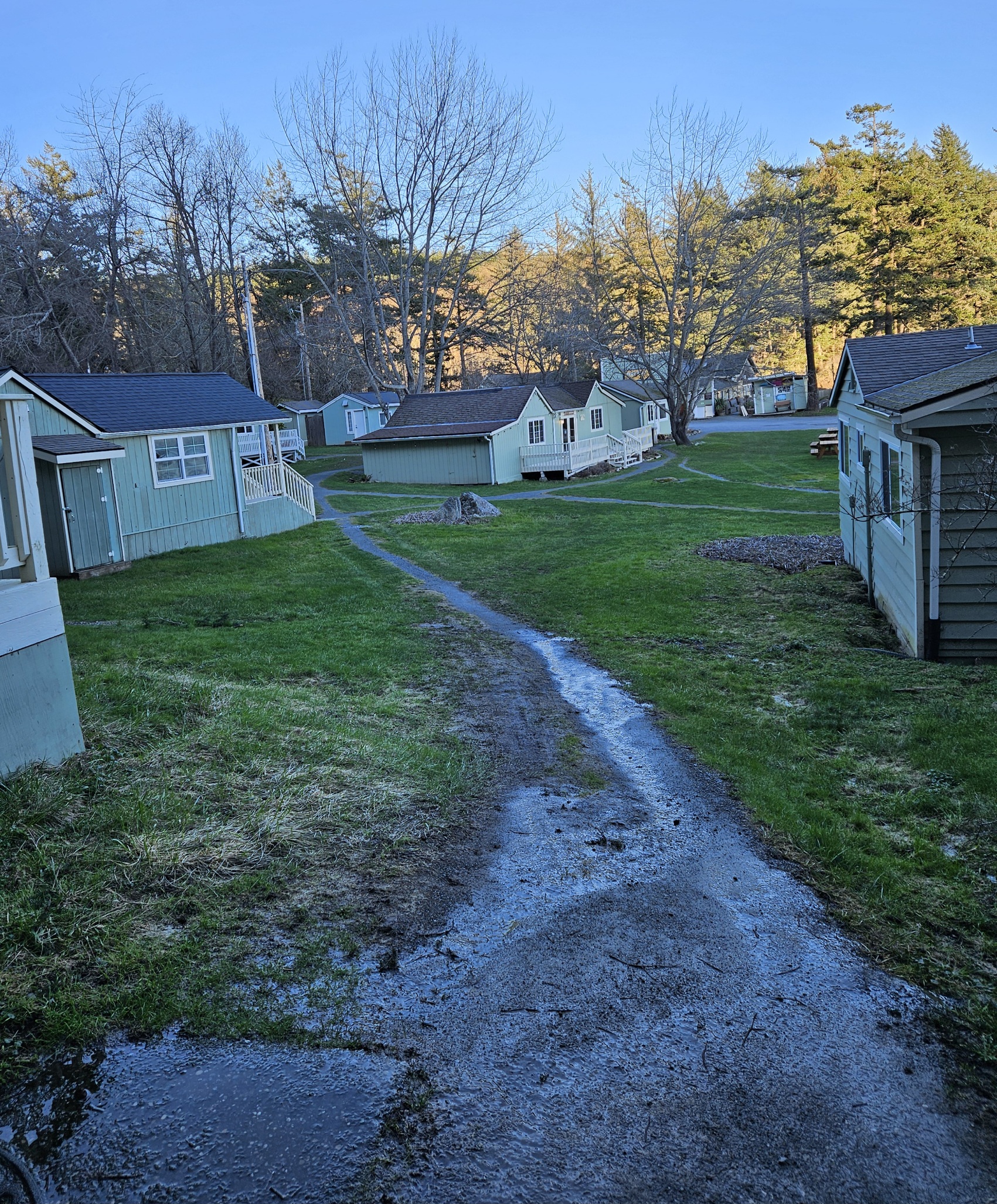
- Village camping field
Nature District: The Point, Otter Cove, Beach
- Point trail
- Otter Cove
- Otter Cove beach
Sites
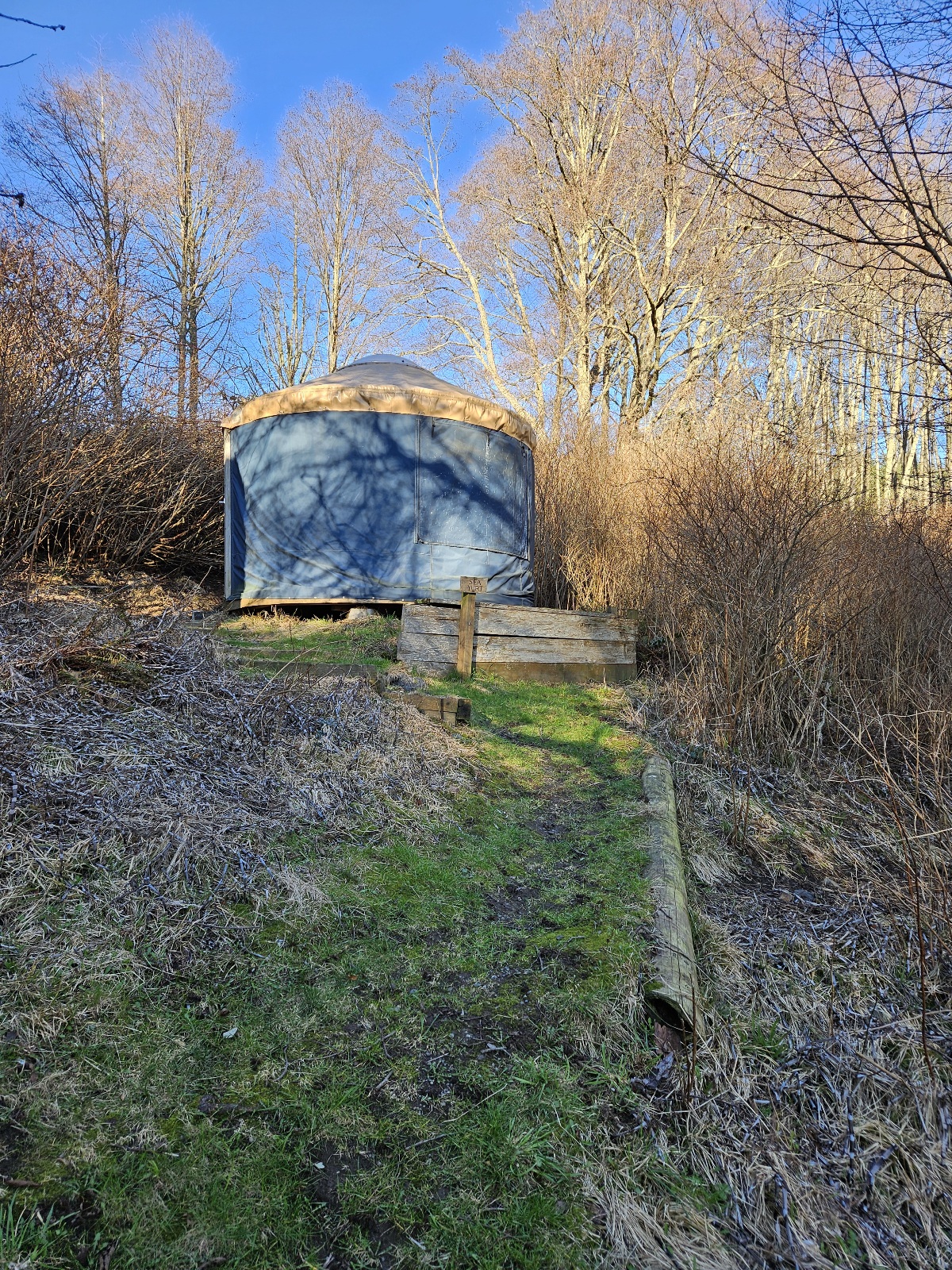
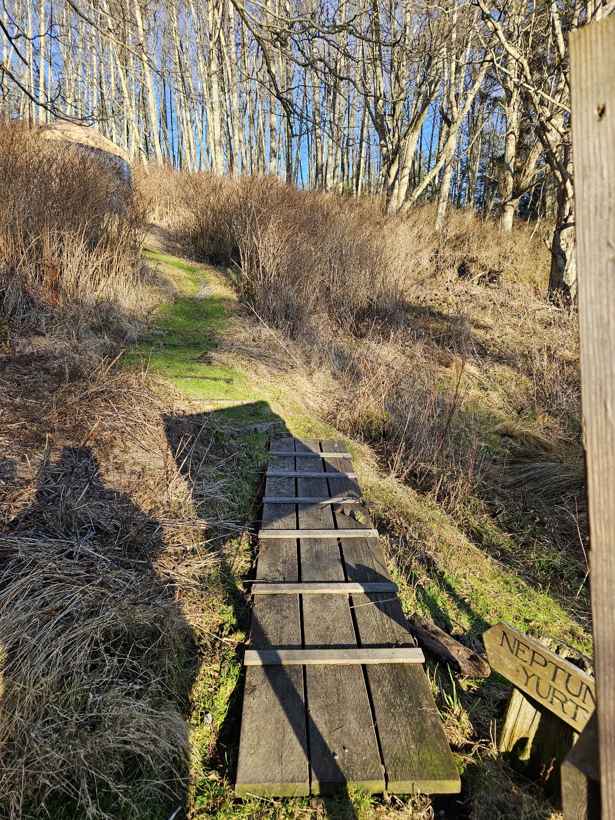
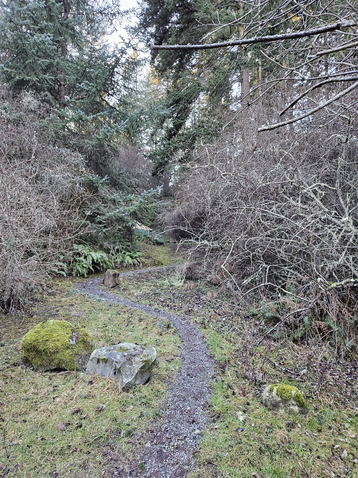
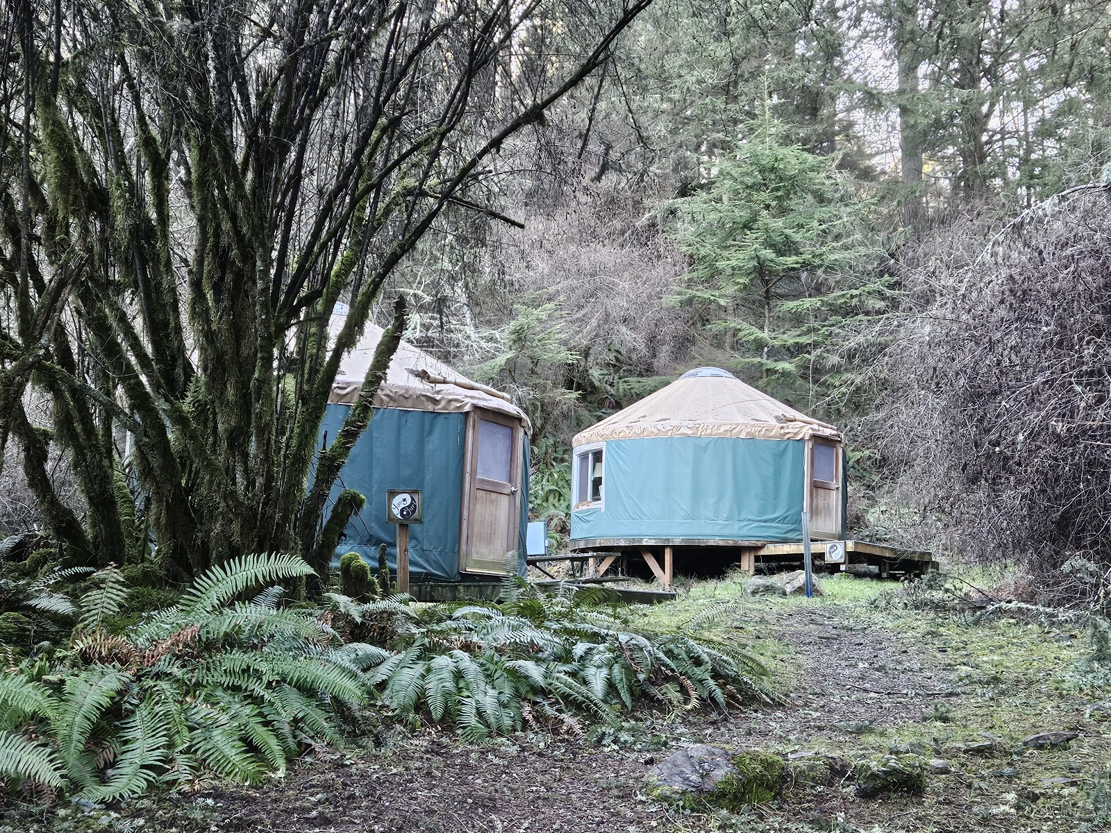
- beach yurts
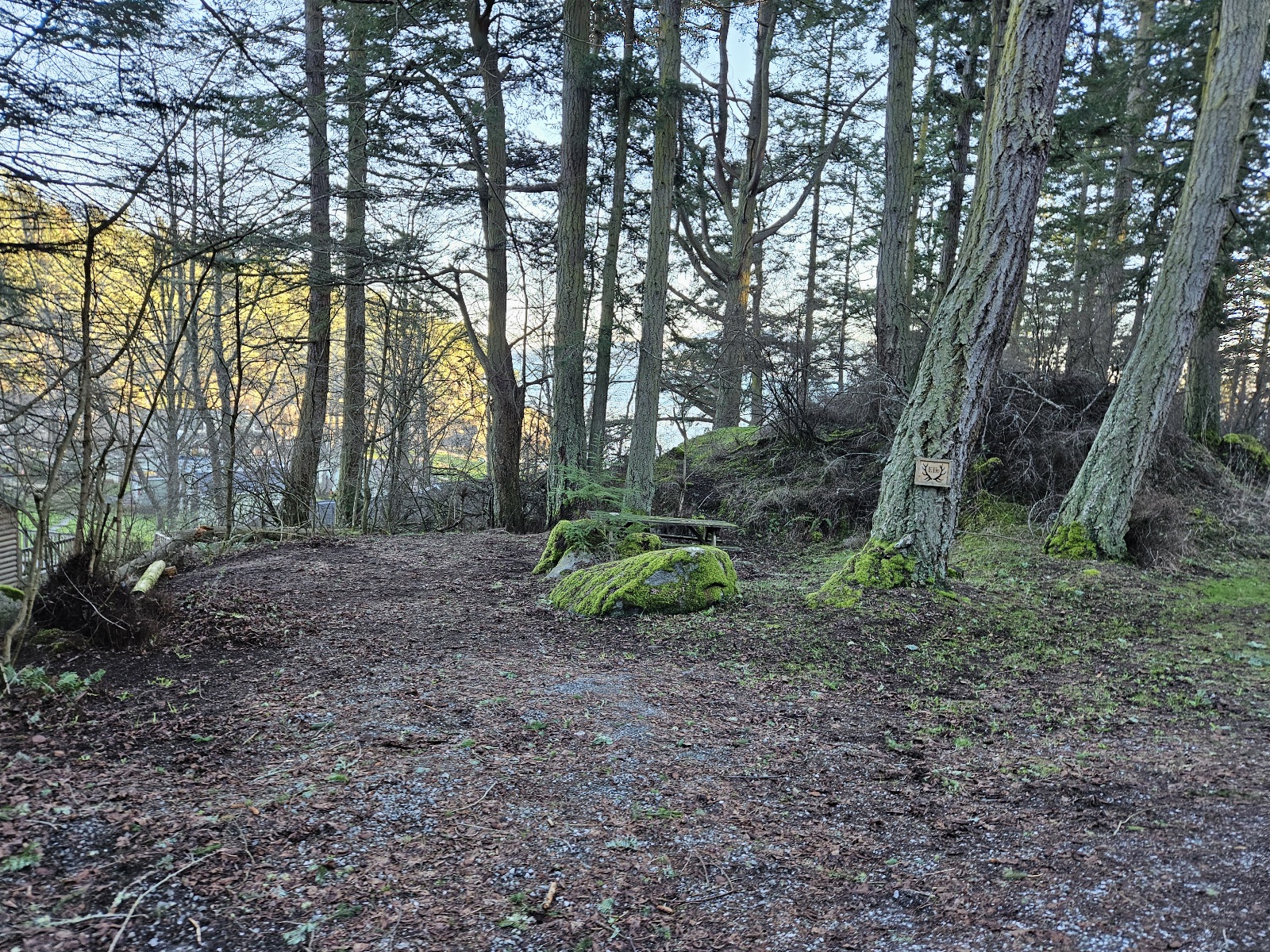
- point campsites / Nature District
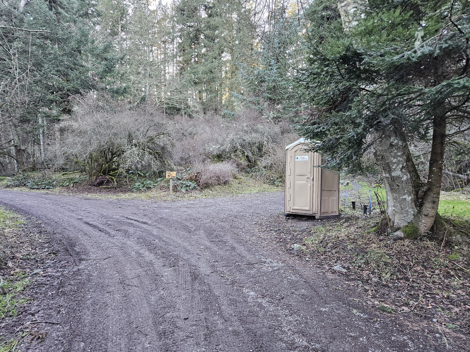
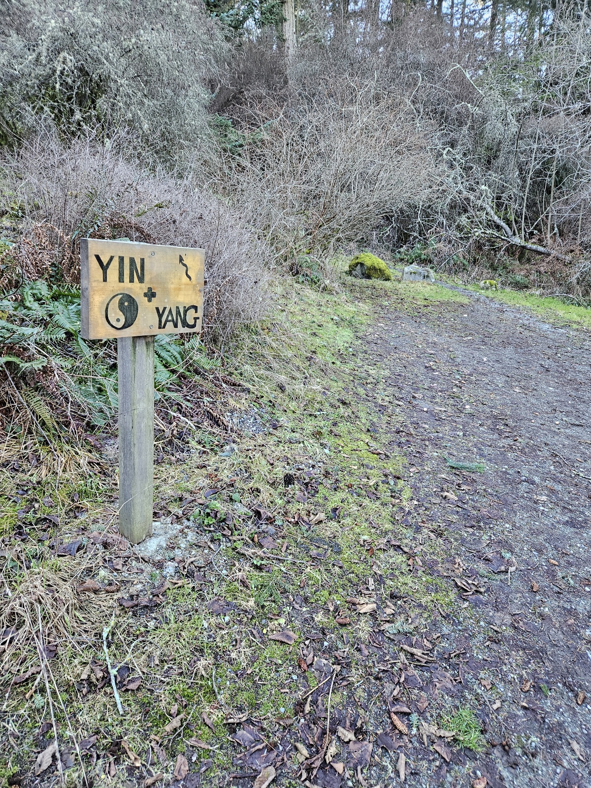
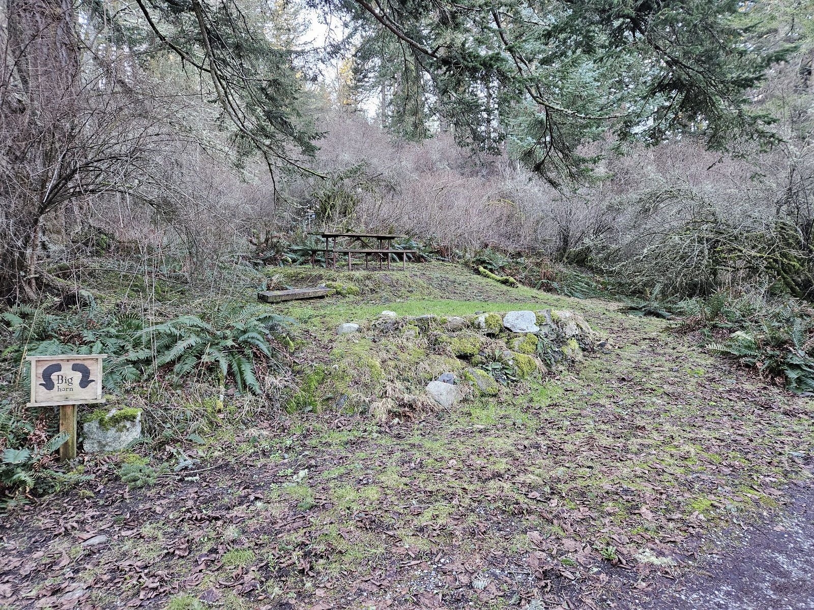
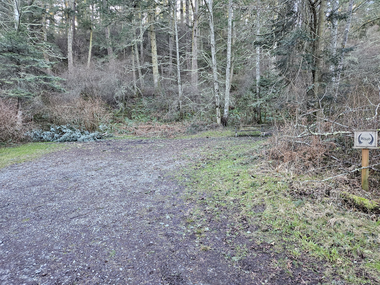
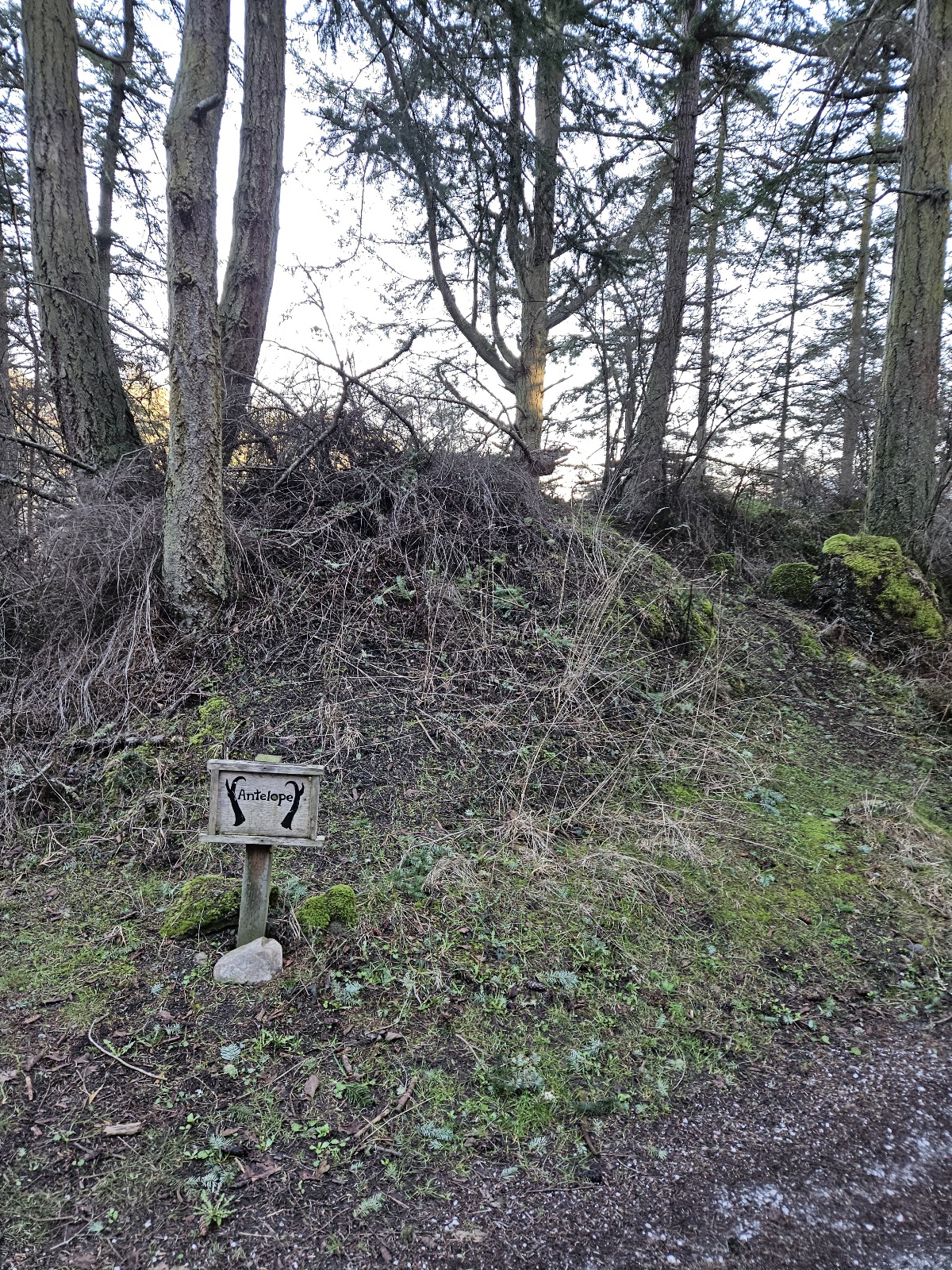
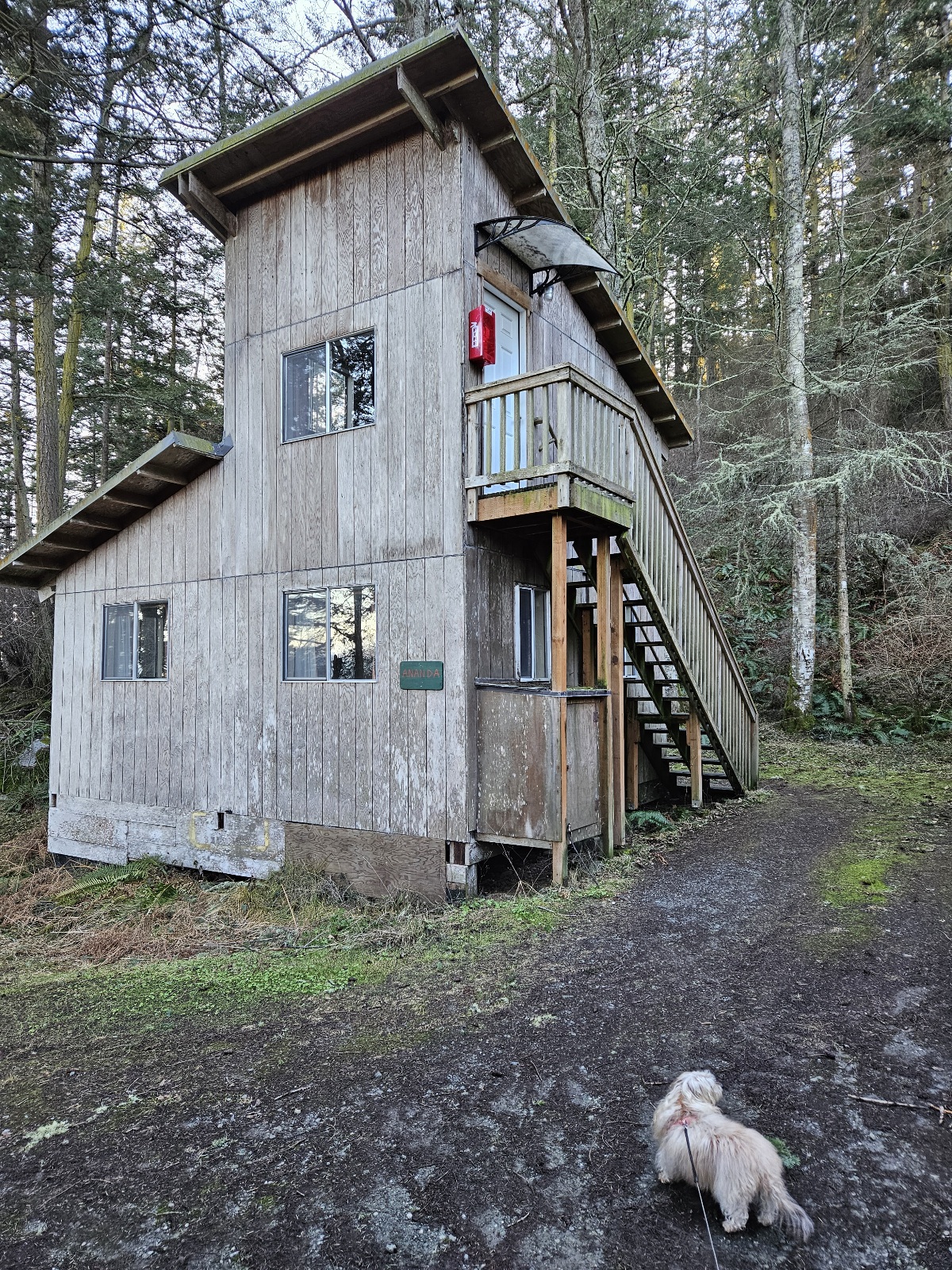
- Ganesh Way sites
- lower field / Social District
